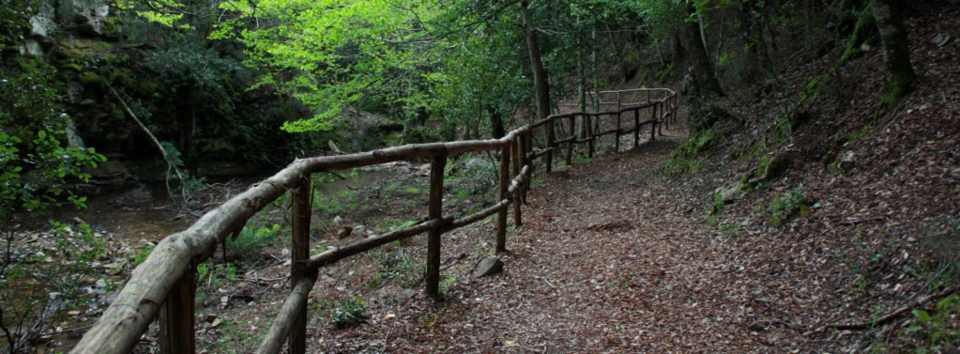
Guado rio Is Canargius
Il suggestivo corso del Canale is Canargius, si snoda per diversi chilometri lungo la omonima valle.
Il rio è intersecato dal percorso del sentiero 201
How to get here
Percorrendo il sentiero 201
Sentieri per tutti...in questa categoria rientrano i sentieri progettati o riadattati perchè il contatto con l'ambiente naturale sia sempre di stimolo al miglioramento della vita personale di chiunque, con attenzione alle condizioni di disabilità motoria, sensoriale o della sfera psichica e relazionale...

Image credits Sardegna Digital Library Regione Sardegna
Il suggestivo corso del Canale is Canargius, si snoda per diversi chilometri lungo la omonima valle.
Il rio è intersecato dal percorso del sentiero 201
Percorrendo il sentiero 201
Punto panoramico, lungo il sentiero 201, a quota 431m, a circa 11,5 km dall'inizio del percorso.
percorrere i primi 11,5 km del sentiero 201
Lattias is located in the central-northern sector of the mountain massif, about 1 km east of the Is Caravius peak, along a watershed that delimits the Rio Guttureddu drainage basin to the west, in one of the most evocative areas of the WWF Monte Arcosu Reserve. It marks the boundary between the municipal territories of Siliqua (north-west), Uta (north-east) and the administrative island of Assemini (south).
It is clearly visible from the east and north, due to its characteristic appearance, as the massif is composed of a series of leucogranite spires shaped by erosion, arranged to form a ridge almost two kilometers long. The profile of the ridge is sharply cut by the "S'Ena Manna" pass, which separates the granite plateau where the Lattias peak is located (south-east) from the "Lattias towers" ridge (north-east).
Trail 203 passes near this peak.
Il Lattias è situato nel settore centrosettentrionale del massiccio montuoso a circa 1 km ad est della vetta di Is Caravius, lungo uno spartiacque che delimita a ovest il bacino idrografico del Rio Guttureddu, in una delle aree più suggestive della Riserva WWF di Monte Arcosu. Segna il confine fra i territori comunali di Siliqua (nord-ovest), Uta (nord-est) e l'isola amministrativa di Assemini (sud).
È ben visibile da est e da nord, per il suo caratteristico aspetto, in quanto il massiccio è composto da una serie di guglie di leucograniti modellate dall'erosione, disposte a formare una cresta lunga quasi due chilometri. Il profilo della cresta è inciso nettamente dal valico di "S'Ena Manna", che separa l'altopiano granitico in cui si trova la cima del Lattias (sud-est) dalla cresta dei "torrioni del Lattias" (nord-est).
Il sentiero 203 passa vicino a questa vetta
Mount Is Caravius is the highest elevation in the Sulcis-Gutturu Mannu massif. Information regarding its height is disputed: historical bibliographical sources and official documentation attribute it a height of 1116 meters.
It is located on the southwestern border of the WWF Monte Arcosu Reserve and is visible from the north (Cixerri plain, middle Campidano plain and Iglesiente mountains). The summit marks the border between the municipal territories of Siliqua, Nuxis, and Assemini (administrative island).
Il Monte Is Caravius è il più alto rilievo del massiccio del Sulcis-Gutturu Mannu. Le informazioni sull'altezza del rilievo sono controverse: fonti bibliografiche storiche e documentazioni ufficiali gli attribuiscono l'altezza di 1116 m.
Si trova sul confine sudoccidentale della Riserva WWF di Monte Arcosu ed è visibile da nord (piana del Cixerri, pianura del medio Campidano e monti dell'Iglesiente. La sommità segna il confine fra i territori comunali di Siliqua, Nuxis e Assemini (isola amministrativa).
The Spistiddatroxiu waterfall (in Sardinian language "place where you break your neck") is located near the Monte Lattias mountain group. It is about thirty meters high and is fed in the winter months by the Camboni river.
Walking on trail 203
La cascata di Spistiddatroxiu (in lingua sarda "luogo in cui ci si rompe l'osso del collo") si trova presso il gruppo montuoso del Monte Lattias. È alta una trentina di metri ed è alimentata nei mesi invernali dal rio Camboni.
Percorrendo il sentiero 203
Rest area near an old building.
The term "Dispensa" (Pantry) indicates a place where charcoal burners used to stock up on provisions.
Walking on trail 203