Sentiero Italia (Stage Z18) Separadorgiu - Terra Ona
Overview of the itinerary
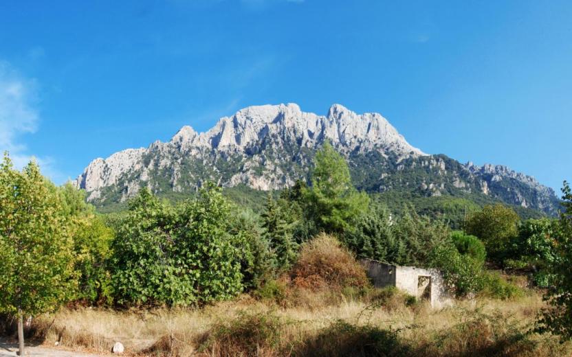
Sentiero Italia runs the length of the island’s eastern side, covering its most important mountains, in 28 stages. Starting from the north: it flanks the Monte Limbara massif, crosses the limestones of Mont’Albo and Tuttavista, skirting the Gulf of Orosei, it crosses the Supramonte, Gennargentu and the Tacchi of Ogliastra and reaches Perdasdefogu. Further south, it passes through Armungia and the Gerrei sub-region. Lastly, it touches on the villages of Burcei and San Gregorio, continuing on the Sette Fratelli massif to the old prisons of Castiadas.
General information on Sentiero Italia (Grand Italian Trail)
Sentiero Italia, or Grand Italian Trail, as also explained on the official website, is a walking route that crosses the whole of Italy, using mainly but not exclusively “registered trails”.
In particular, in Sardinia, not all the stages of the Sentiero Italia of CAI (Italian Alpine Club) are made of trails already included in the registry of the Sardinia Trail Network (RES), either because they have not yet been tested and approved or simply because they cannot be registered as they do not meet the requirements. However, as a whole, the Sentiero Italia is the single longest walking route currently crossing Sardinia from the north (S. Teresa Gallura, stage Z 1) to the south (Castiadas, end of stage Z 28), touching on the most fascinating mountain areas in central-eastern Sardinia: the plateau of Buddusò, Tepilora, the Cedrino river valley, the ancient forests of Montes, Perda Liana and the regional forest of Montarbu, Monte Genis, and lastly the regional forest of Settefratelli (among the many crossed by the various stages of this long hiking itinerary).
Information on this stage of the trail
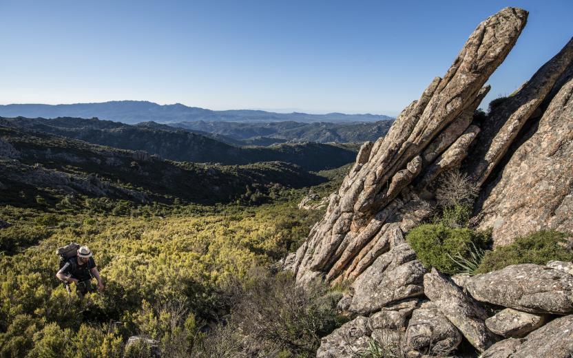
This is a medium-length stage that initially traces back a short stretch of stage Z17 and then continues in a southerly direction after leaving the dirt track.
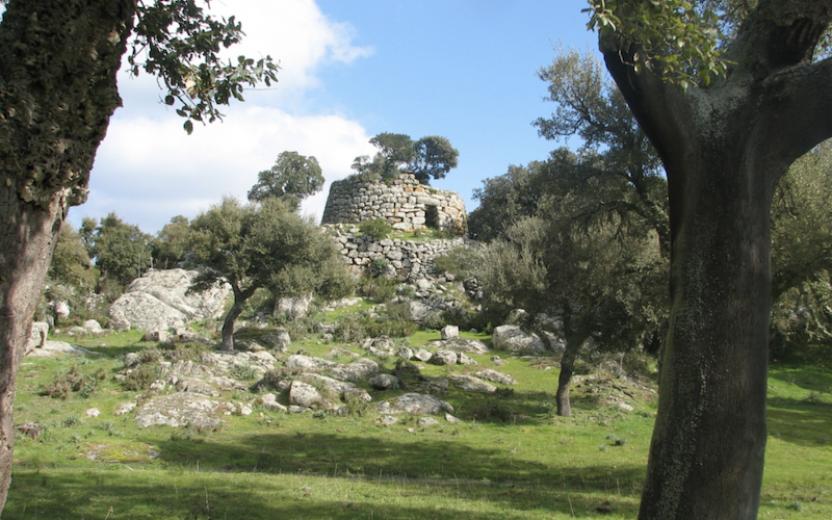
Walk along a trail recently traced by the Forestas Regional Agency, which will take you to the Bruncu Spina car park (Sardinia’s one and only ski area). Continue in a south-easterly direction and, after passing alongside Punta Paulinu following the contour line at about 1680 metres asl, you will arrive at a meeting point between two paths near Arcu Gennargentu (1650 asl). Continue along the ridge, crossing Punta La Marmora and, once you get to N39.98703° E9.32408°, take the path to your right in a south-westerly direction that takes you downhill to Arcu Sa Turzi (1604 m asl) and then continue in a southerly direction after a short bend to the east. Following the course of a stream, at elevations varying between 1440 and 1300 m asl, you will reach the Cuile Strumpu at about 1100 m asl, after paying a visit to the Nuragic village of Sa Idda ’e Ruinas.
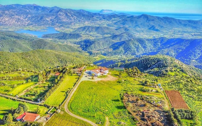
Continue on the dirt track until you reach the Cuile Prediargiu, which you will leave on your left to take a path, for about 3 km, currently marked with stone cairns, that leads to another dirt track heading north to the stop point of Terra Ona.
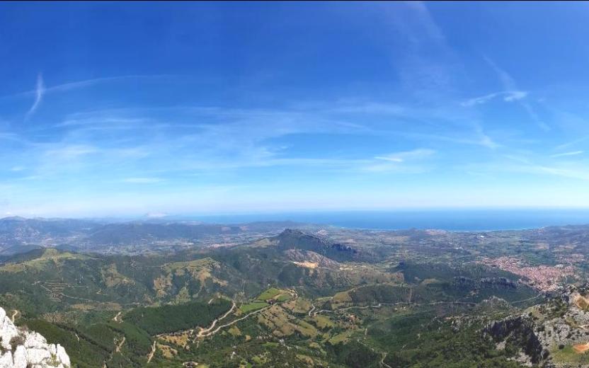
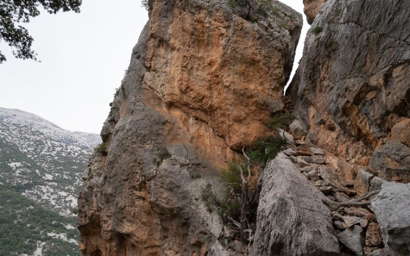
This is a very scenic but fairly challenging stage without easy access to water. Warning: the trail may be exposed to fog.
Itinerary roadbook
- Log in to post comments