Oliena - Corrasi Mount (B-401)
The pathway
Useful informations
Roadbook
The route starts from a crossroads in the upper part of the town of Oliena, in the Su Carmene district, which is named after the nearby main street (Via Carmine) that leads directly to the nice San Giorgio square in the town centre. The trail start is near the paved road that goes up to Monte Maccione.
The route climbs immediately in north-northwest direction, soon leaving behind the outskirts of the town, and continuing uphill in an easterly direction, towards some fields and vegetable plots followed, as you gain elevation by pine forest and mixed holm-oak wood, by criss-crossed dirt tracks and municipal access roads.
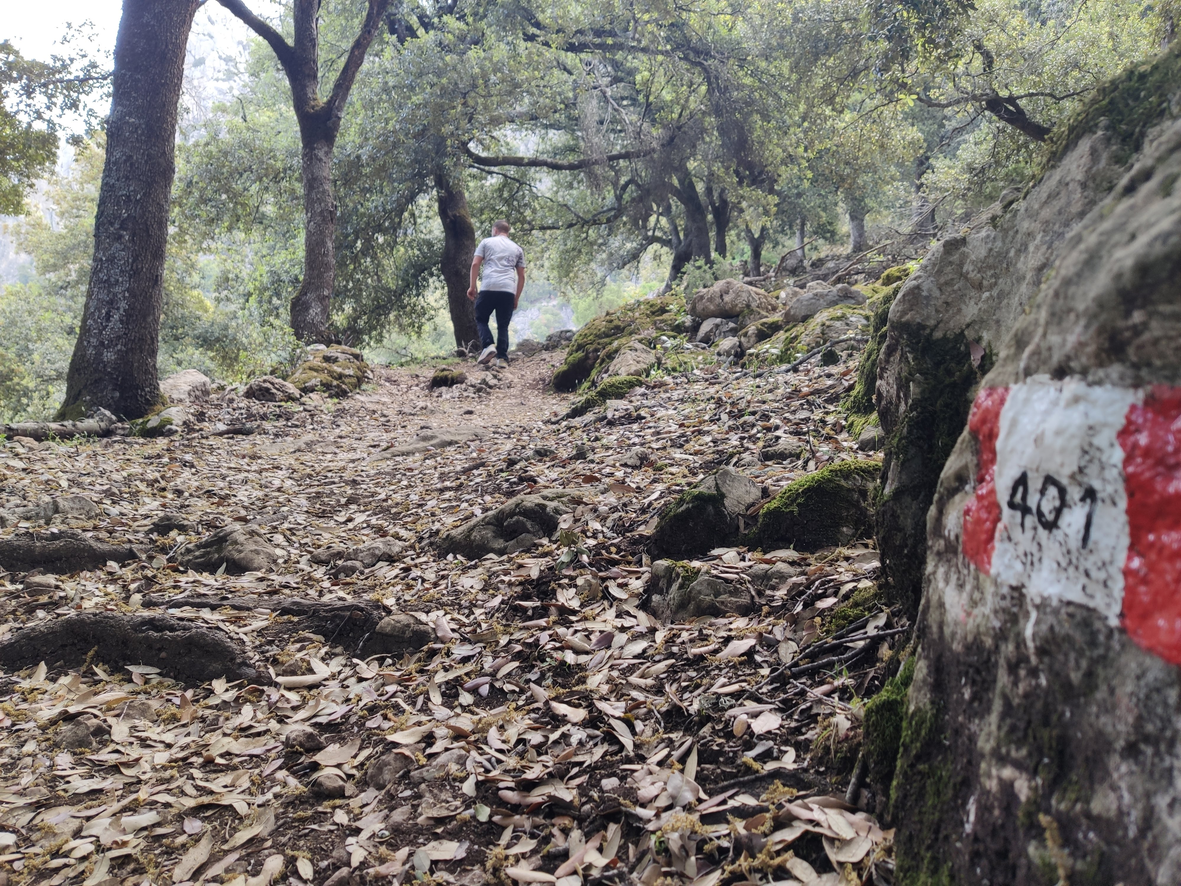
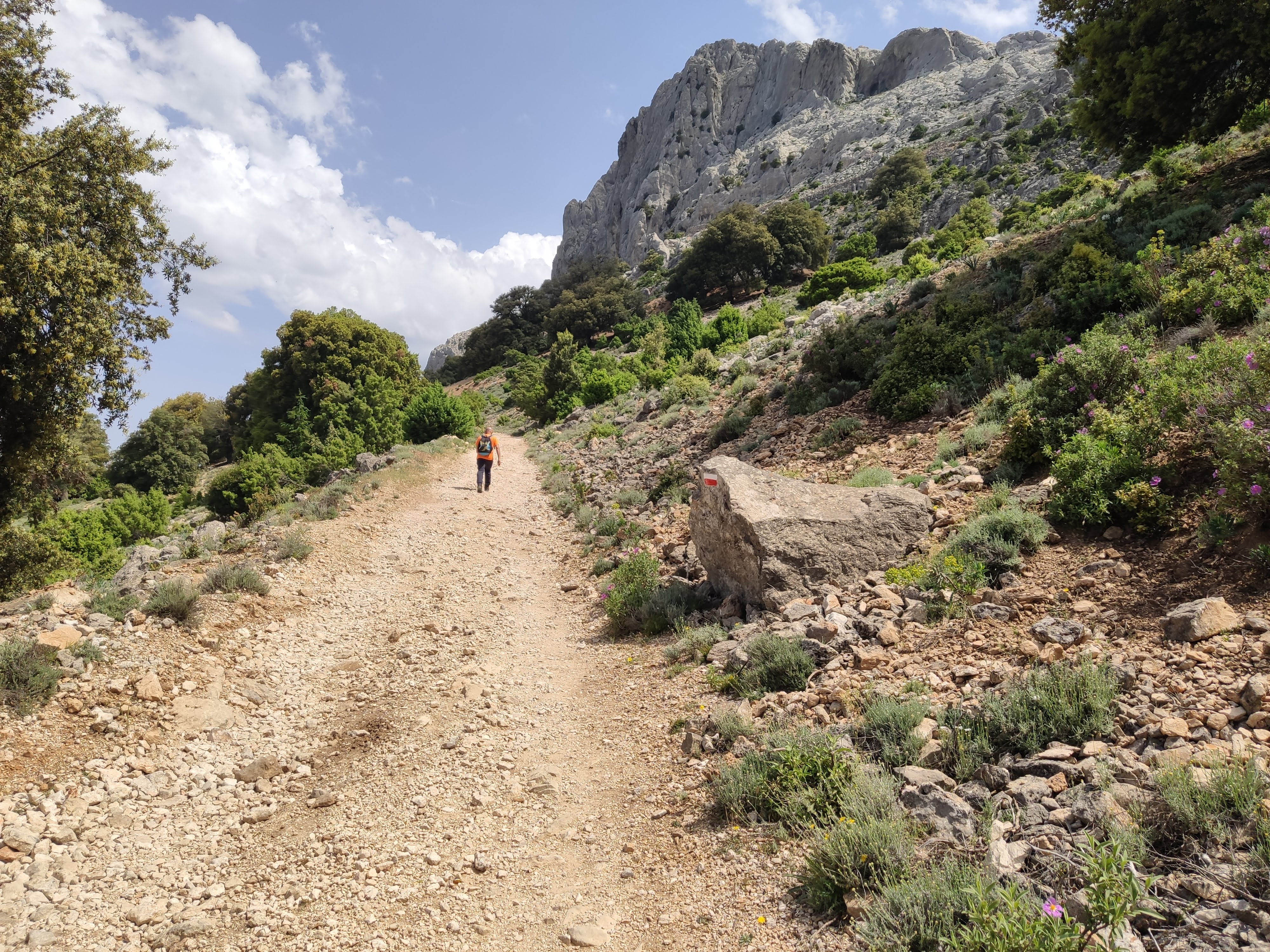
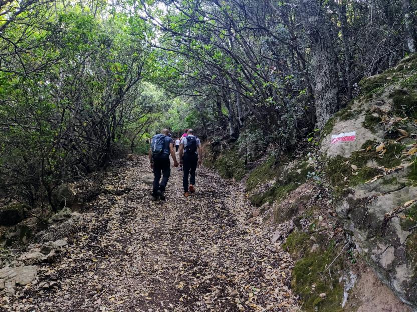
After 1 km of gradual ascent on dirt tracks or old cart tracks, at times skirting ancient lime kilns and private farms, the landscape changes: you will enter a strip of tall holm oak woodland, with gradually narrower and more winding paths, ramping up your hiking experience, on rocky ground and with occasional stone paving to reinforce the bends, on the typical terrain of mid-elevation woodland in the Supramonte area.
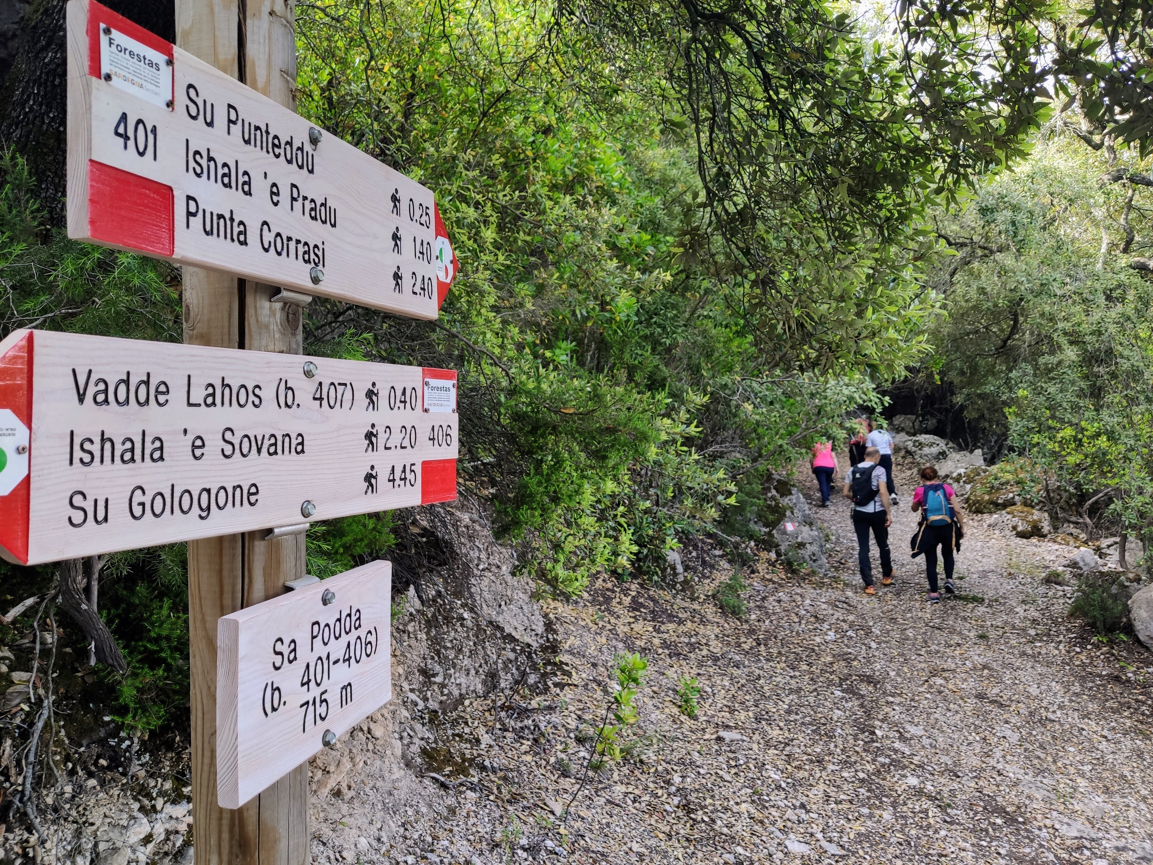
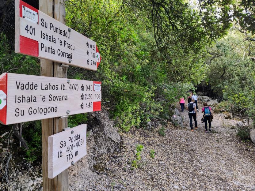
A steady uphill path, challenging for less-than fit hikers, taking about 1 hour to get the 715 m of elevation of the Sa Podda fork (junction with Trail 406). Here about one quarter along the route the slope becomes gentler, giving some respite. If you wish, at this point you could turn off onto Trail 406 to reach Ishala ’e Sovana (over 2 hours’ walk) and then go back down to su Gologone (over 4 hours’ walk).
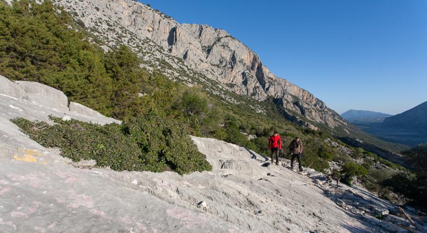
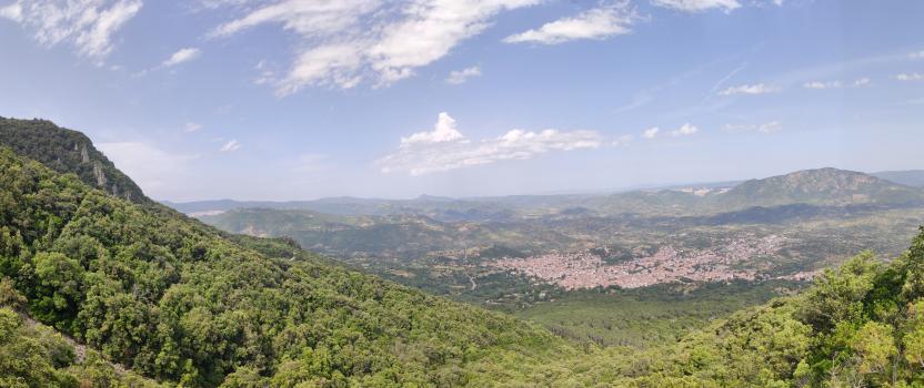
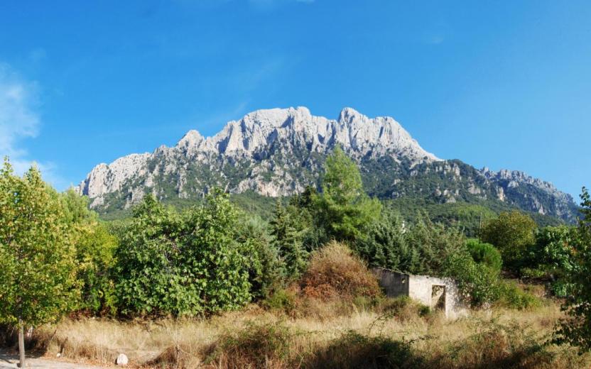
Continuing instead on Trail 401, after a further uphill stretch, the vegetation opens up showing the ridge that overlooks the town, with two peaks of the same mountain, on the side of the Pradu plateau. Punta Carabidda (1321 m) is the southern peak, while Punta Ortu Camminu (1331 m) is the northern one; the two peaks are separated by a small rocky col, a few metres lower: the highest peak is Punta Ortu Camminu.
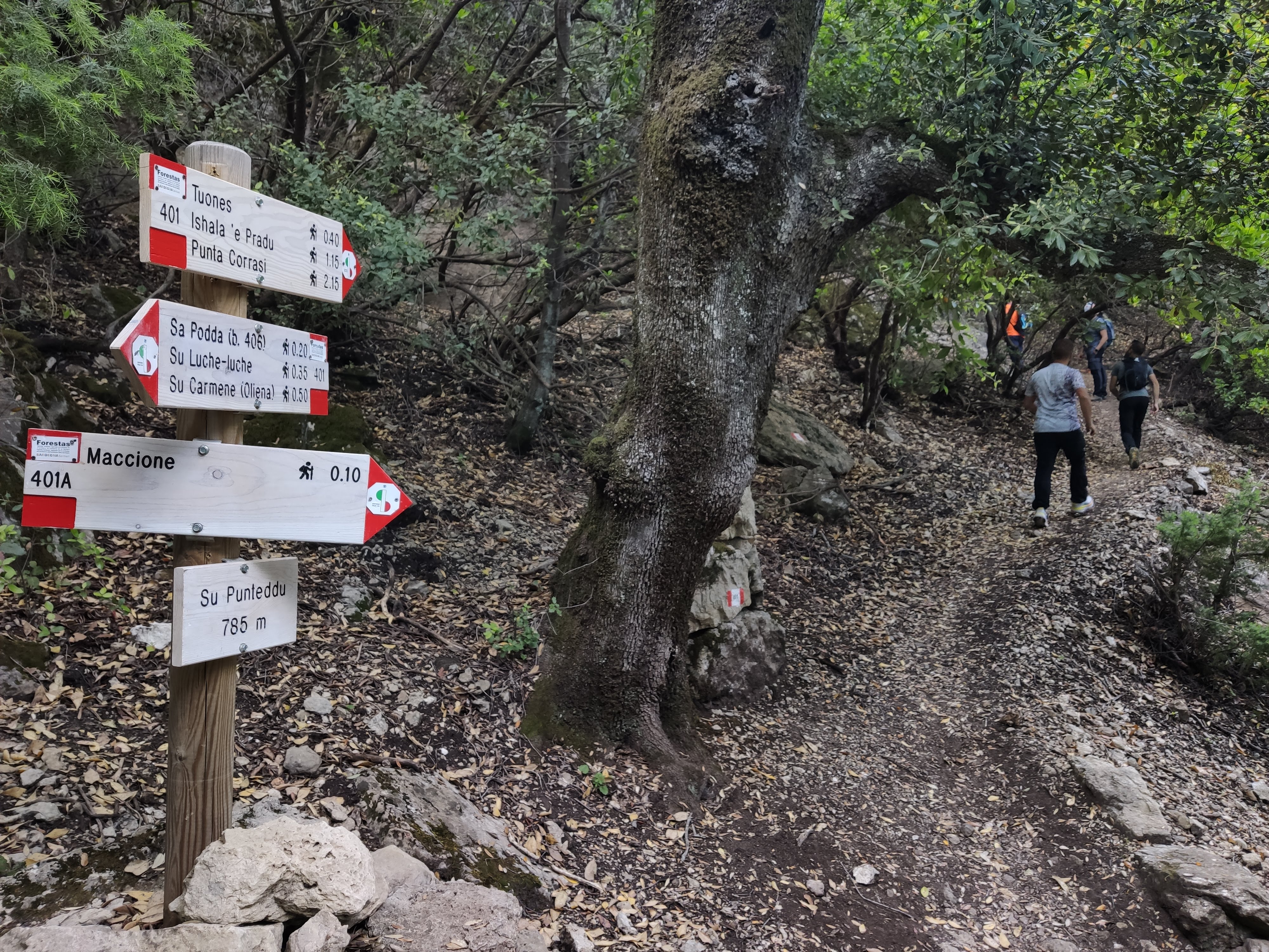
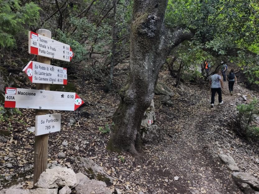
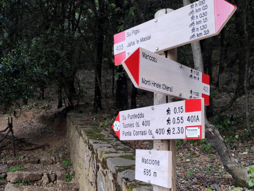
After a further 15', having gained just another 80m in elevation, you will arrive at the fork of Su Punteddu (785 m asl): from here you can, if you wish, reach Maccione (via connecting Trail 401A) where there is an accommodation facility and a bar/coffee shop, from where you could take a paved road back to the town. If you keep to the main trail for monte Corrasi instead, you will need to climb for a further 135 minutes before completing the main route (401).
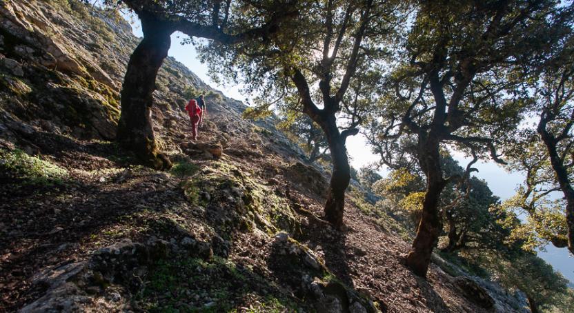
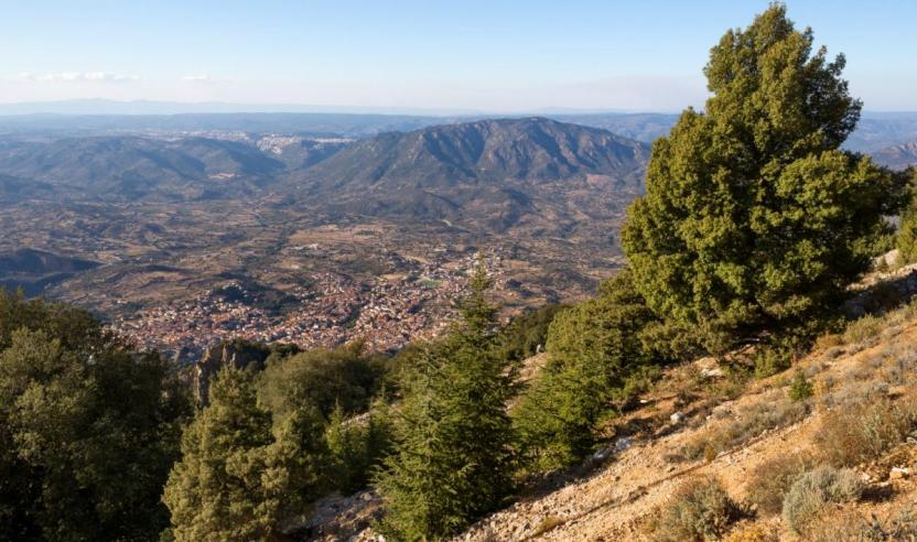
The trail becomes winding, on a mixed surface of stones and forest litter, winding among centuries-old holm oaks through which you can catch glimpses of the limestone peaks. Occasionally, you will come across ancient charcoal pits and panoramic clearings dotted with limestone boulders and framed by the mountain vegetation. As you approach 1000 m in elevation, the view becomes even more spectacular: you can already make out the peaks of mount Ortobene, the city of Nuoro and its surrounding towns and villages.
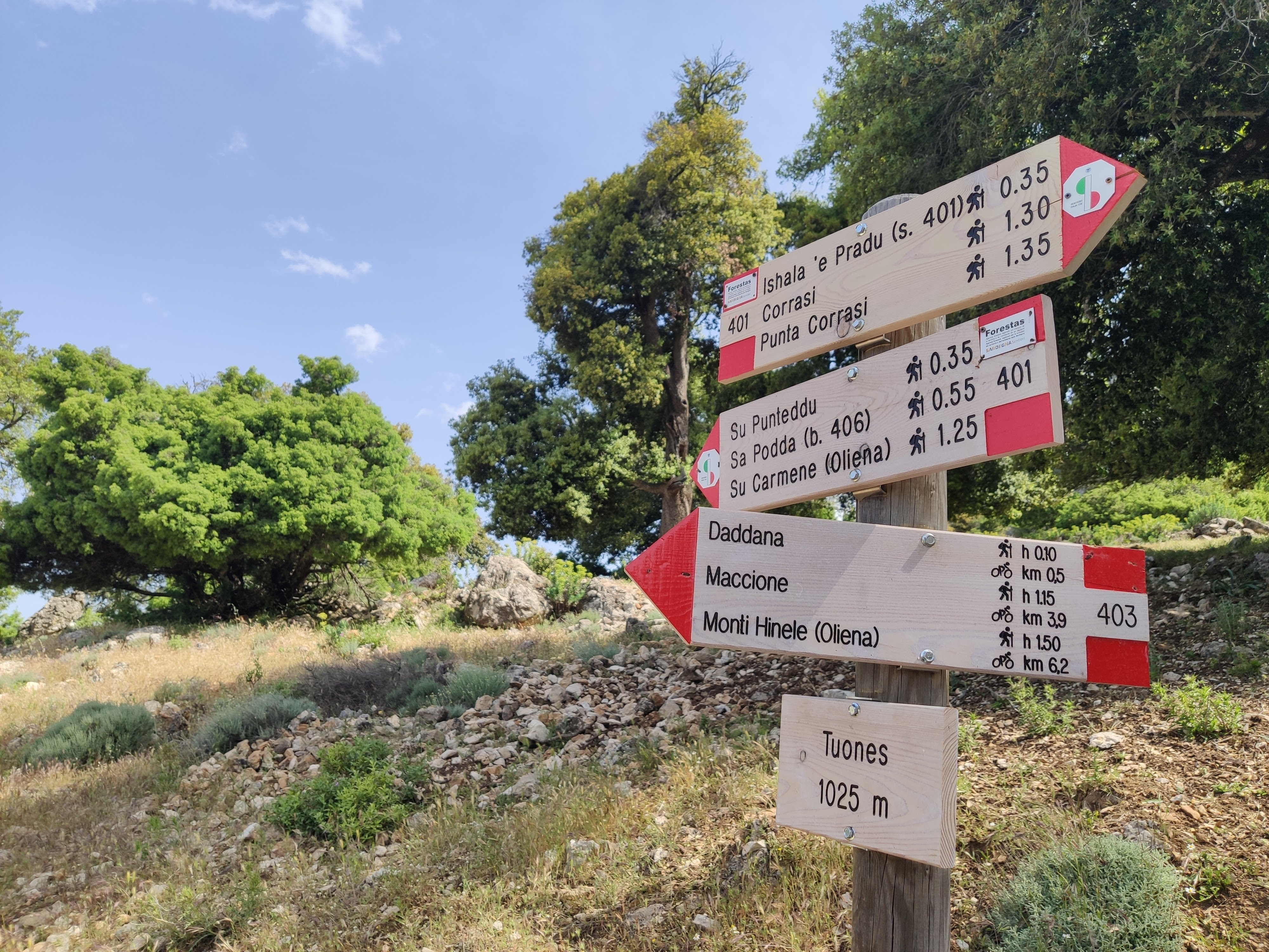
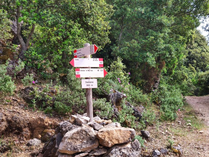
35 minutes after the Su Punteddu stop point, you will get to one of the points of interest of this route: the Tuones picnic area, set up by Forestas with beautiful benches and an old stone shepherd’s hut refurbished to offer shelter in case of bad weather. The recently renovated panoramic point is also spectacular. The views from here, at 1025 m asl, deserve to be savoured. You are now halfway along the route, you can clearly see the last arduous uphill stretch (towards ishala ’e Pradu), with its steep slope. The summit of mount Corrasi is now about an hour and a half away.
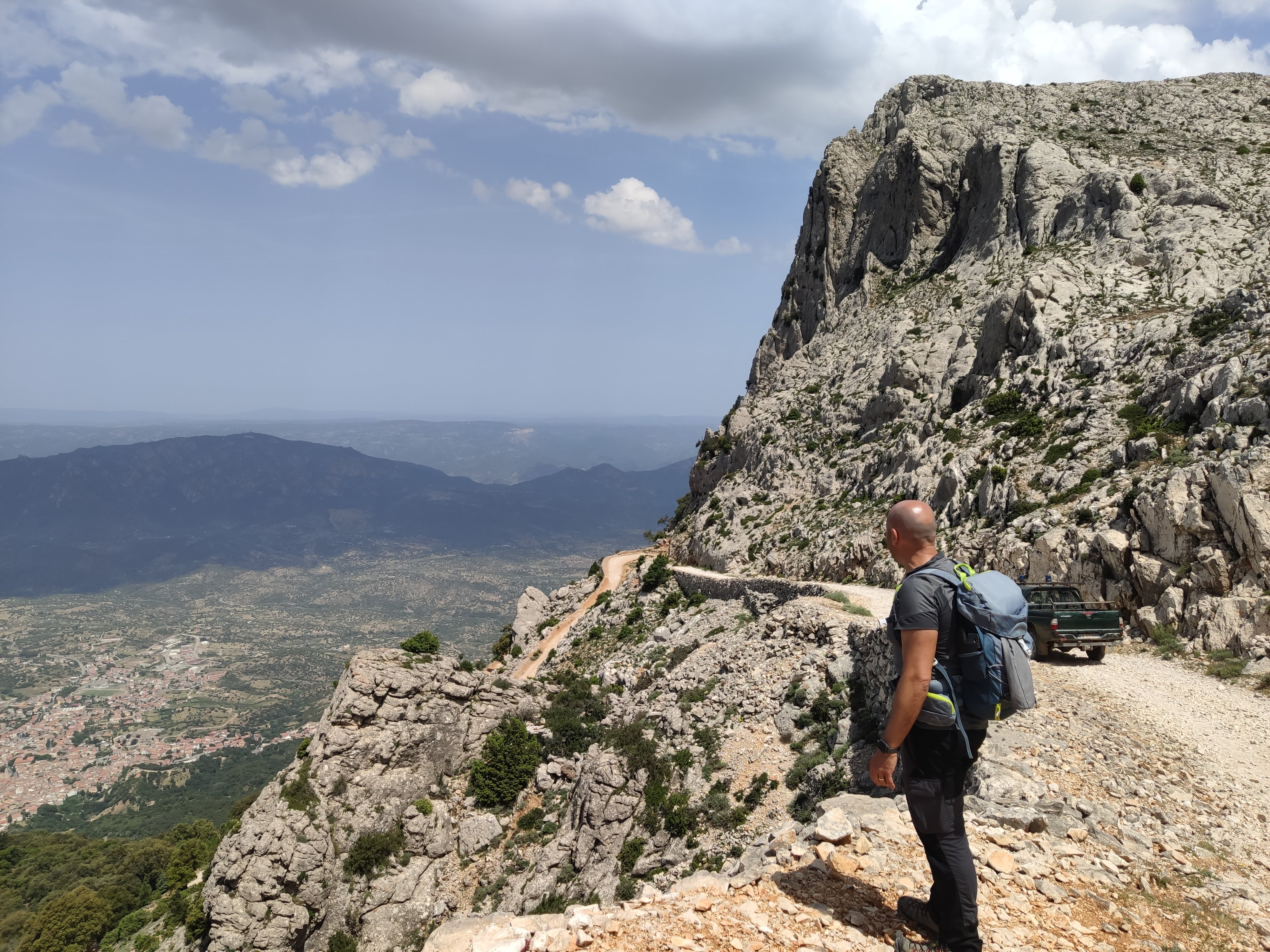
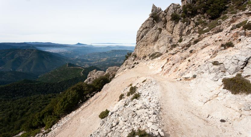
The uphill path towards ishala ’e Pradu from Tuones takes at least half an hour and leads into very different terrain and landscape: sparse vegetation, extensive limestone fields and an old forest track on stony ground, still used by the forest rangers for working at high elevations. A scenic road exposed to steep slopes and equally strong winds, when they blow from the north-west.
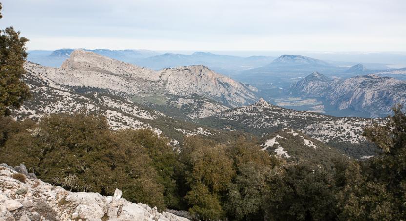
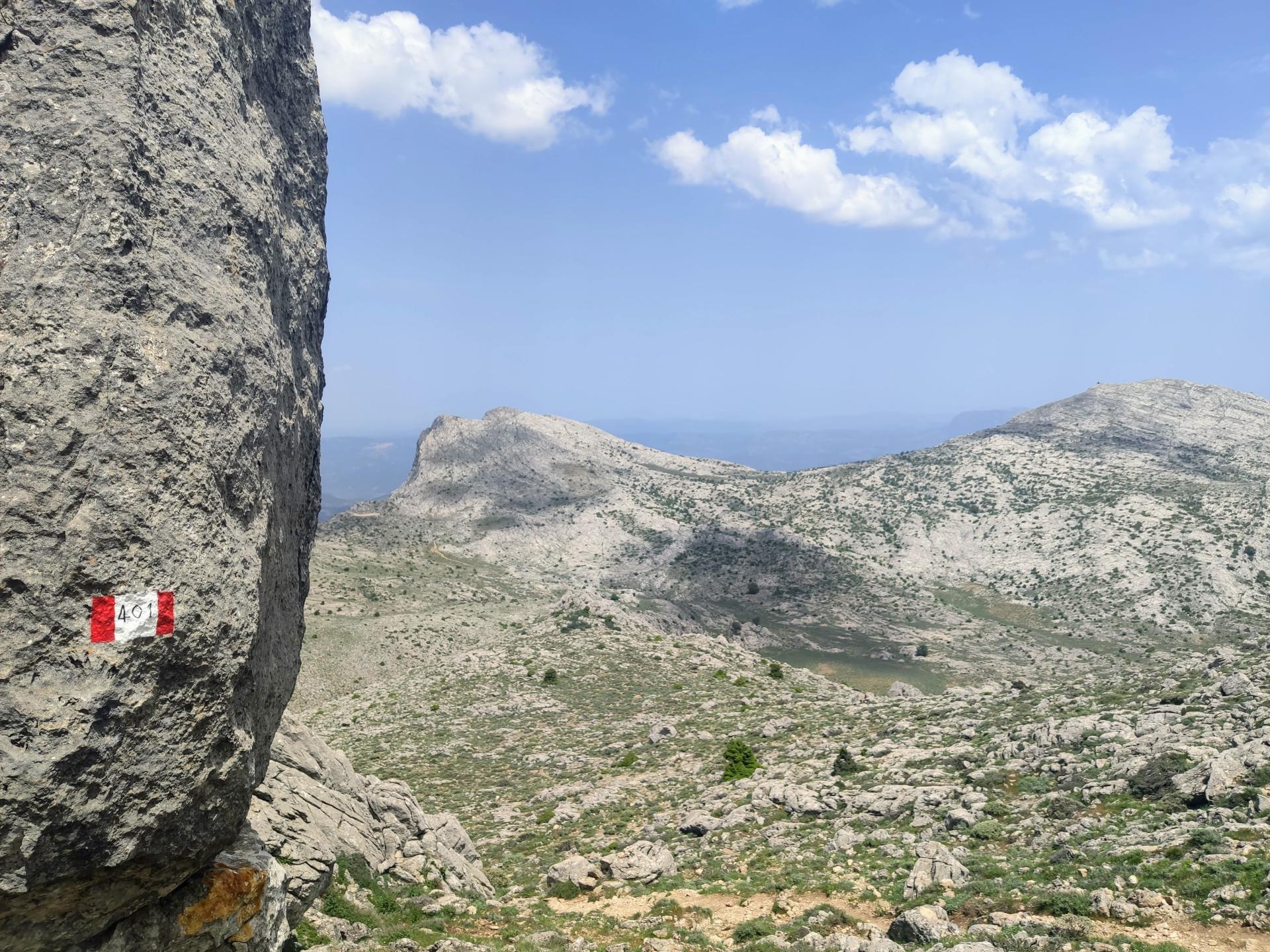
When you reach Pradu, you will already get the feeling of being high up on the mountain: the view is unobstructed towards Oliena and Nuoro, but it is on the other side that you will discover with wonder the access to the Supramonte massif and its endless valleys. Here you are already at 1215 m asl, but the Corrasi awaits you more than 200 metres higher up (and with about one more hour of walking). There would be so much to add, but the essential thing is to know that you are now at one of the key crossroads of the Supramonte: leaving Trail 401 you can reach (along Trail 405) the valley of Lanaitho after crossing for its entire extension the short side of Supramonte in an easterly direction (almost 4 hours’ walk). Alternatively, you can continue south to complete Trail 401 by reaching the summit of mount Corrasi.
Trail data and altimetry
Photogallery
Opinions
Reviews
Alex
Molto ben sistemato! complimenti a Forestas!
Giovanni
Sentiero molto bello, ben delineato e seguibile.
Per onor di cronaca abbiamo iniziato da località Maccione, ma il 401 rimane sempre ben visibile, seguibile, faticoso il giusto che si ripaga da solo una volta giunti in cima. Assolutamente consigliato


