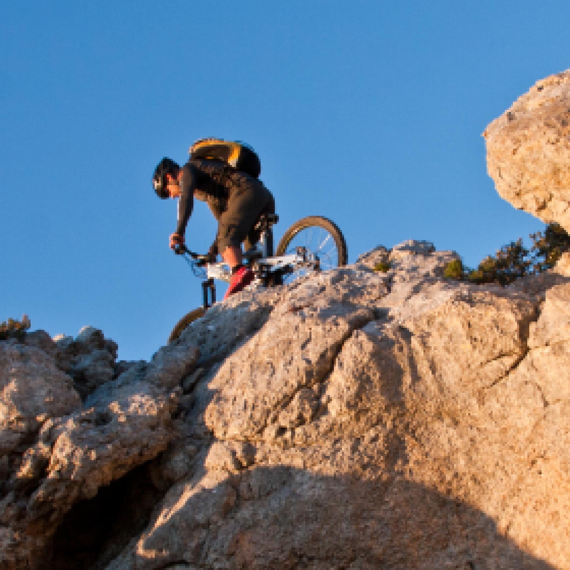
Mountain Bike
Le varie categorie del mountain biking ne fanno un universo a sé stante nel campo del turismo attivo: cross country, all mountain, enduro e freeride, downhill e bike orienteering...possono essere praticati quasi ovunque, ma la maggior parte dei biker pedalano fuoristrada, lungo sentieri di campagna, piste forestali o singletrack (creati e mantenuti principalmente dal passaggio). Gruppi sociali più o meno formalizzati sono frequenti, specialmente nelle uscite più lunghe...
Results
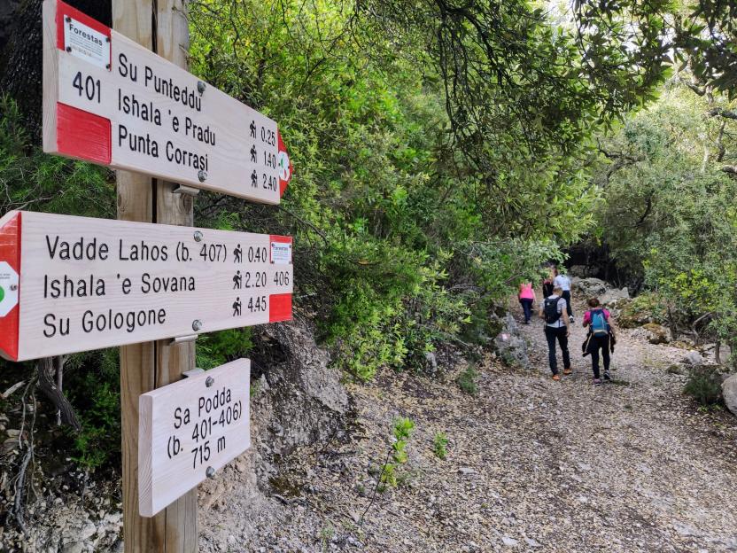
Pathways Genna 'e Mela Loop (B-543)
Pathways Anello Genna 'e Mela (B 543)

Pathways Sentiero Sorberine (B-531)
Pathways Predarba - Coa 'e Serra (B 531)
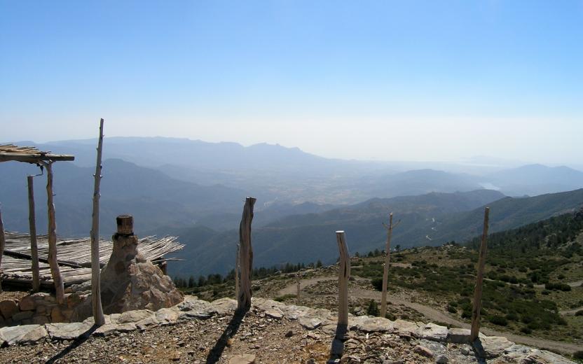
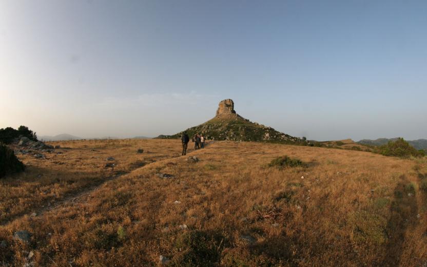
CMSB - STAGE 04 – FROM BUGGERRU TO PORTIXEDDU
This is a fairly short stage that allows to dedicate the first few hours of the day to discover the traces of Buggerru's mining history.
Don't miss the monument dedicated to the miners who died in the massacre of 1904, the mining museum and the Henry gallery, the Grotta delle Lumache (Snail Cavern) and the Grotta S'Acqua Gelada (Cold Water Cave).
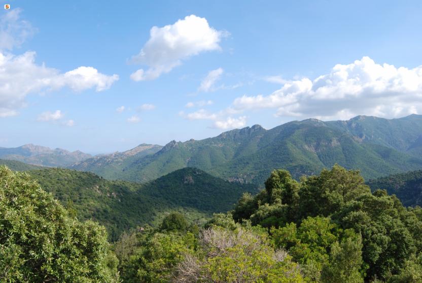
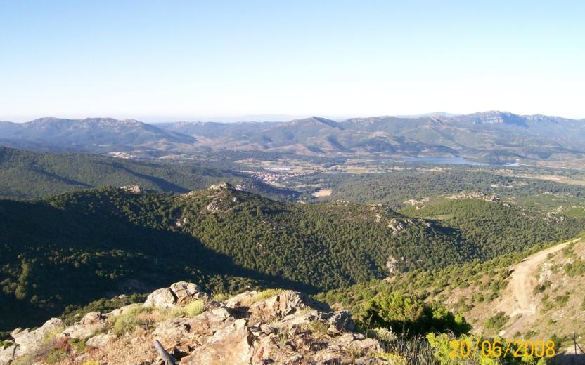
Otherwise, the stage is characterised by the beautiful coastal landscape until you reach the extraordinary dune complex of Portixeddu.
WARNING: there are no supermarkets or other services in Portixeddu; only in the summer, there are bars and restaurants.
Safety and useful tips
The stage starts inside the residential area of Buggerru and then follows the SP 83 road towards Portixeddu. This stretch presents the problem of vehicular traffic, so you must pay attention to cars and traffic in general.
Some passages, particularly those following the uphill of the mule track leading to the wooded area near Sa Marchesa, are exposed to falling from above - do not lean towards the exposed part and keep to the centre or to the upstream side of the roadway.
After leaving the area of Sa Marchesa, you have to follow the last hairpin turn of the uphill road above San Nicolò, so watch out for vehicles that might pass by.
Even at the end of the stage, in order to get to Portixeddu, you have to cross the provincial road out of the pine forest, therefore you have to pay attention when crossing.
Informazioni utili
The stage presents a medium difficulty. The route has a length of 9.8 km which can be covered in 3 hours and 30 minutes with an uphill difference in altitude of 464 m and a downhill difference of 460 m. The stage can also be done by bike (hybrid model) with medium difficulty.
FOR UPDATED INFORMATION, CONSULT THE STAGE SHEET ON THE OFFICIAL WEBSITE
Tipologia itinerario
- Log in to post comments