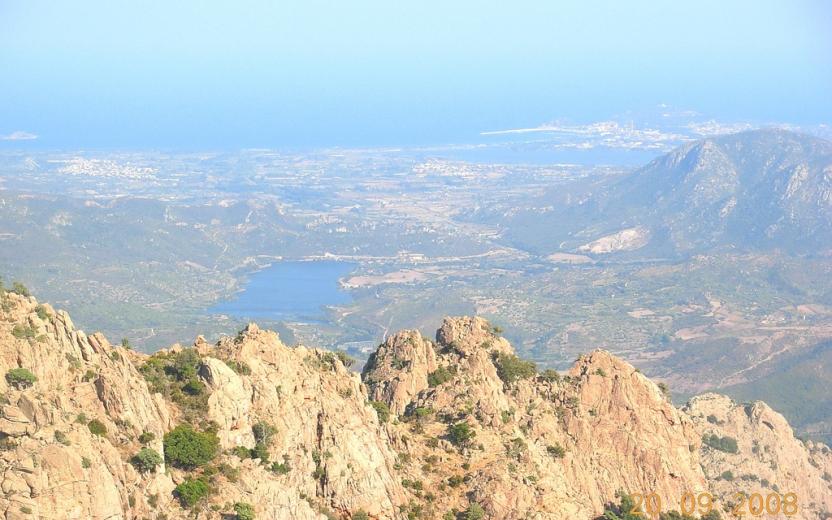
Start website main content

Hiking

205 pathways

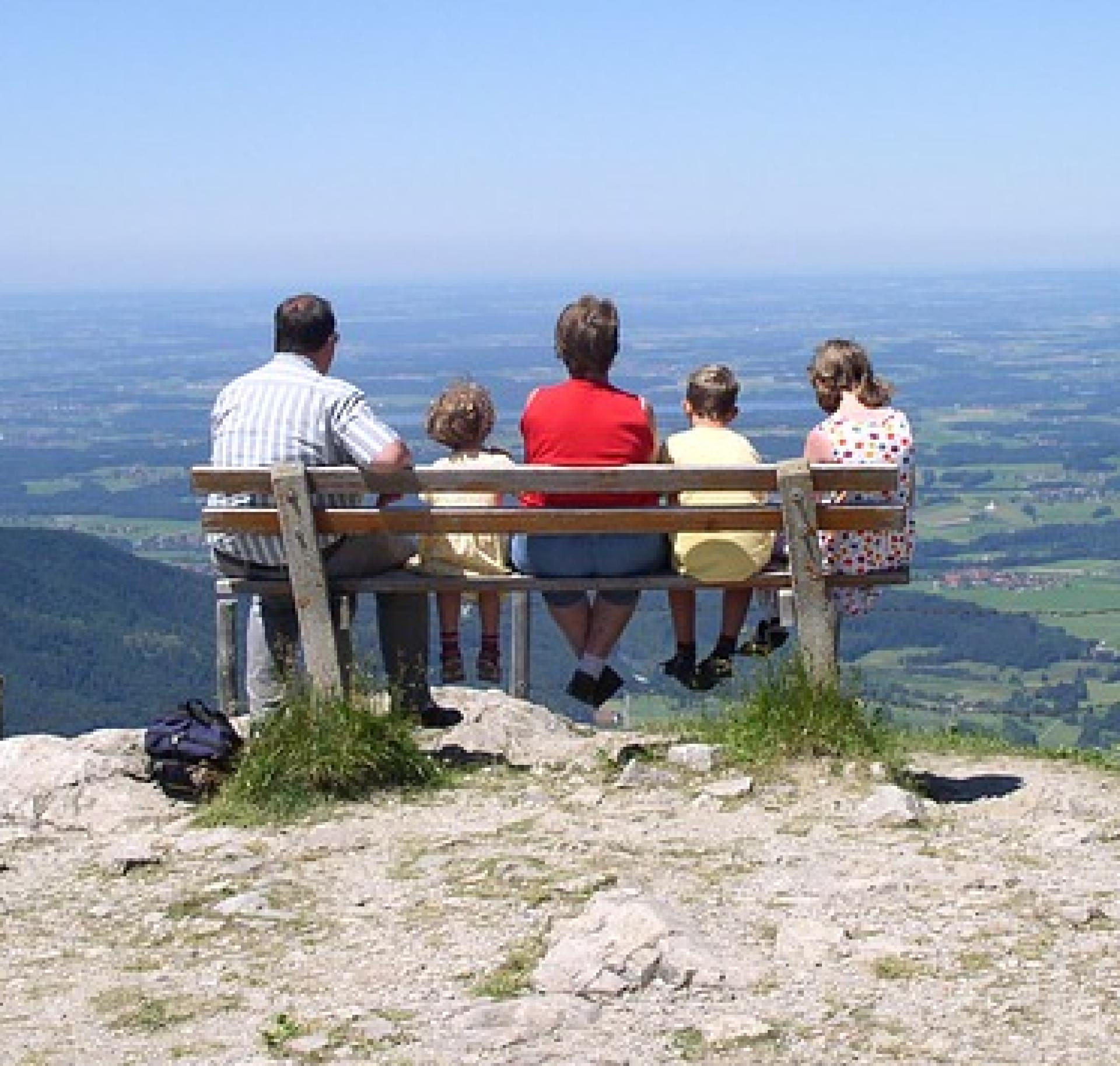
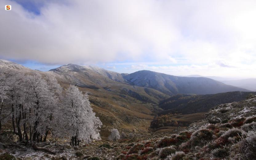
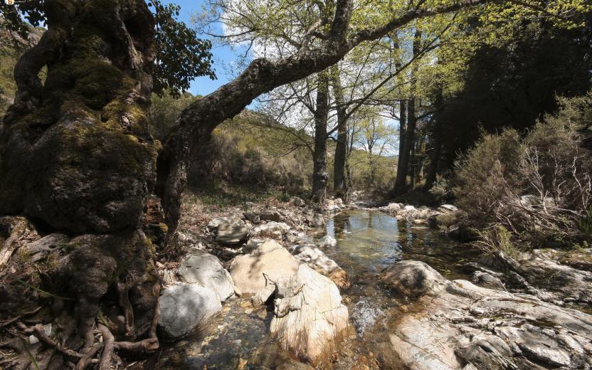
Hiking è una camminata en plain air della durata massima di una giornata (dall’inglese to hike).  Un’esperienza simile trekking (to trek: fare un lungo viaggio, dunque durata maggiore dell'hiking, anche più giorni) che enfatizza il gesto tecnico-sportivo del camminare.  Molti sentieri della R.E.S. sono particolarmente semplici e ben raggiungibili, quindi adatti per fare hiking e trascorrere qualche ora in Natura: lungo questi percorsi di breve-media lunghezza, anche i più piccoli potranno scoprire l’Isola dei sentieri...

Da-fare-in-famiglia2.png

Results

CMSB – STAGE 25 - FROM SANT'ANTIOCO TO CARBONIA

Most of the route runs along an old track of the Ferrovie Meridionali Sarde (FMS) that today has been transformed almost entirely into a pedestrian and cycle track. For about half a century (from the early 1920s to the early 1970s), this route ensured the mobility of people in the area, as well as the transport of coal from the Great Mine of Serbariu to the port of Sant'Antioco.

This is one of the longest stages of the Trail, but it is very easy and without any particular difficulties.

Safety and useful tips

In the initial section of the stage, you have to pass through the streets of Sant'Antioco, therefore you need to pay attention to urban traffic.

When you leave Sant'Antioco, as you did on the outward journey, you must cross the SS126; make sure to pay attention when crossing the road due to vehicular traffic.

The route then proceeds along the cycle track to reach the crossing of an asphalted road that leads to the area of Is Cordeddas near the roundabout on the SS 126; pay attention to this crossing.

Once in San Giovanni Suergiu, still following the cycle track, you have to cross Via Porto Botte, a continuation of the SS 195 that passes through the urban area. Once again, pay attention when crossing the road.

As you reach Carbonia, you have to take an urban route; make sure to pay attention to urban vehicular traffic and to the various crossings.

Informazioni utili

The stage has medium difficulty. The route has a length of 23.6 km which can be covered in 5 hours and 30 minutes and has a height difference of 273 m uphill and 198 m downhill.

FOR UPDATED INFORMATION, CONSULT THE STAGE SHEET ON THE OFFICIAL WEBSITE

Lenght 23.600 m

Links

CMSB tappa-25-da-santantioco-carbonia.gpx

Total elevation gain 173 metri

Geographical area Iglesiente

Elevation gain 273 metri

Negative elevation 198 metri

CMSB – TAPPA 25: DA SANT'ANTIOCO A CARBONIA

Il percorso della Tappa utilizza in prevalenza il lungo un vecchio tracciato delle Ferrovie Meridionali Sarde (FMS) che per circa mezzo secolo - dai primi anni ‘20 ai primi anni ‘70 del secolo scorso - ha assicurato in questo territorio sia la mobilità delle persone che il trasporto del carbone dalla Grande Miniera di Serbariu al porto di Sant’Antioco. Oggi il tracciato è stato trasformato quasi interamente in una  pista pedonale e ciclabile

Si tratta di una delle tappe più lunghe del Cammino, che tuttavia si percorre molto agevolmente e senza particolari difficoltà.

Informazioni utili

La tappa ha una difficoltà media. Il percorso ha una lunghezza di 23,6  km percorribili in 5 ore e 30 minuti e un  dislivello  in salita di 273  m e in discesa  di 198 m.
PER LE INFORMAZIONI AGGIORNATE, CONSULTA LA SCHEDA DELLA TAPPA, SUL SITO UFFICIALE 

Il Cammino Minerario di Santa Barbara

Si tratta del primo, tra i cammini sardi, ad essere stato iscritto al registro istituito dalla Regione Sarda nel 2012 con DGR48/9 ("Registro dei cammini di Sardegna, degli itinerari religiosi e dello spirito"). Attualmente è gestito dall'omonima Fondazione.

LA STORIA DEL PROGETTO

L’idea di costruire un itinerario nell’area più estesa e rappresentativa del Parco Geominerario Storico Ambientale della Sardegna, il Sulcis-Iglesiente-Guspinese, riscoprendo gli antichi cammini minerari oggi in gran parte abbandonati, è nata dai volontari dell’Associazione ONLUS Pozzo Sella Per il Parco Geominerario a seguito della grande partecipazione dei cittadini alle escursioni organizzate dalla stessa associazione dopo aver reso fruibili numerosi percorsi minerari.

Con il Cammino Minerario di Santa Barbara si vuole perseguire l’obiettivo di tramandare la memoria degli uomini che nei secoli e nei millenni passati hanno realizzato e percorso gli antichi cammini minerari con il piacere di riscoprire a passo lento la bellezza del territorio.

Un Protocollo d’intesa è stato sottoscritto tra i Comuni di Iglesias, Buggerru, Fluminimaggiore, Arbus, Guspini, Gonnosfanadiga, Villacidro, Domusnovas, Musei, Villamassargia. Narcao, Nuxis, Santadi, Piscinas, Giba, Masainas, San Giovanni Suergiu, Sant’Antioco, Carbonia e Gonnesa, le Diocesi di Iglesias e di Ales Terralba, le Province di Carbonia Iglesias e del Medio Campidano, il Consorzio del Parco Geominerario Storico Ambientale della Sardegna, l’ANCI SARDEGNA e l’Associazione Pozzo Sella: si tratta di un  partenariato per la costruzione e la gestione dell’itinerario storico, culturale, ambientale e religioso denominato “Cammino Minerario di Santa Barbara”.

PER MAGGIORI INFORMAZIONI, DETTAGLI E INFO AGGIORNATE SULLE TAPPE

Si consiglia di consultare il sito ufficiale del cammino: www.camminominerariodisantabarbara.org/

Lenght 23.600 m

Links

CMSB tappa-25-da-santantioco-carbonia.gpx

Total elevation gain 173 metri

Geographical area Iglesiente

Elevation gain 273 metri

Negative elevation 198 metri

CMSB – STAGE 26 - FROM CARBONIA TO NURAXI FIGUS

From industrial archaeology to classical archaeology, from the coal mines of Serbariu to that of Nuraxi Figus, which are encountered respectively in the initial and final sections of the stage, the entire route is a sort of large open-air archaeological park, where it is possible to walk through the traces of the last 5,000 years of the territory's history.

ATTENTION: in this stage there are no restaurants or pizzerias, there is a grocery store where you can buy everything you need for dinner and supplies for the following day.

Safety and useful tips

In order to leave Carbonia in the direction of the Serbariu Mine, you have to walk through an urban stretch, therefore it is necessary to pay attention to the various crossings. Once you leave the Serbariu Mine, you have to cross the SS 126 to enter the dirt road that leads to the Nuraghe SiraiPay attention when crossing due to the presence of heavy vehicular traffic often at high speed.

As you reach the purification plant of Flumentepidomake sure to check if the Rio Flumentepido is in flood, in which case you must take the alternative route that leads to Cortoghiana passing through Medau Desogus.

You will then arrive in Cortoghiana at the furniture store commercial area and cross the SS 126 at the traffic light. Pay attention when crossing the state highway. Afterwards, you have to walk through Cortoghiana, therefore you must pay attention to the presence of urban traffic. The route continues to Nuraxi Figus, where once again you have to pass through the village along roads with urban traffic.

The stage is long, so prepare yourself properly.

There is a  variant which reduces the length of the route by approximately 7 km.


Informazioni utili

It is a challenging stage due to its length. The route has a length of 26.4 km, which can be covered in 8 hours and an uphill difference in height of 504 m and a downhill difference of 498 m.

FOR UPDATED INFORMATION, CONSULT THE STAGE SHEET ON THE OFFICIAL WEBSITE

Lenght 26.400 m

Links

CMSB tappa-26-da-carbonia-nuraxi-figus.gpx

Total elevation gain 408 metri

Geographical area Iglesiente

Elevation gain 504 metri

Negative elevation 498 metri

CMSB – TAPPA 26: DA CARBONIA A NURAXI FIGUS

Dall’archeologia industriale all’archeologia classica, dalle miniere di carbone di Serbariu a quella di Nuraxi Figus, che si incontrano rispettivamente alla partenza e all’arrivo della tappa, l’intero percorso è da considerarsi un grande parco archeologico a cielo aperto, dove è possibile camminare sulle tracce degli ultimi 5.000 anni di storia del territorio.

E’ prevista una variante che riduce di circa 7 km la lunghezza del percorso.

ATTENZIONE: in questa tappa non ci sono ristoranti o pizzerie, c’è un negozio di alimentari dove è possibile acquistare tutto il necessario per la cena e scorte per il giorno seguente.

Informazioni utili

E’ una tappa impegnativa a causa della sua lunghezza. Il percorso ha una lunghezza di 26,4  km, percorribili in 8 ore e un  dislivello  in salita di 504  m e in discesa  di 498 m.
PER LE INFORMAZIONI AGGIORNATE, CONSULTA LA SCHEDA DELLA TAPPA, SUL SITO UFFICIALE 

Il Cammino Minerario di Santa Barbara

Si tratta del primo, tra i cammini sardi, ad essere stato iscritto al registro istituito dalla Regione Sarda nel 2012 con DGR48/9 ("Registro dei cammini di Sardegna, degli itinerari religiosi e dello spirito"). Attualmente è gestito dall'omonima Fondazione.

LA STORIA DEL PROGETTO

L’idea di costruire un itinerario nell’area più estesa e rappresentativa del Parco Geominerario Storico Ambientale della Sardegna, il Sulcis-Iglesiente-Guspinese, riscoprendo gli antichi cammini minerari oggi in gran parte abbandonati, è nata dai volontari dell’Associazione ONLUS Pozzo Sella Per il Parco Geominerario a seguito della grande partecipazione dei cittadini alle escursioni organizzate dalla stessa associazione dopo aver reso fruibili numerosi percorsi minerari.

Con il Cammino Minerario di Santa Barbara si vuole perseguire l’obiettivo di tramandare la memoria degli uomini che nei secoli e nei millenni passati hanno realizzato e percorso gli antichi cammini minerari con il piacere di riscoprire a passo lento la bellezza del territorio.

Un Protocollo d’intesa è stato sottoscritto tra i Comuni di Iglesias, Buggerru, Fluminimaggiore, Arbus, Guspini, Gonnosfanadiga, Villacidro, Domusnovas, Musei, Villamassargia. Narcao, Nuxis, Santadi, Piscinas, Giba, Masainas, San Giovanni Suergiu, Sant’Antioco, Carbonia e Gonnesa, le Diocesi di Iglesias e di Ales Terralba, le Province di Carbonia Iglesias e del Medio Campidano, il Consorzio del Parco Geominerario Storico Ambientale della Sardegna, l’ANCI SARDEGNA e l’Associazione Pozzo Sella: si tratta di un  partenariato per la costruzione e la gestione dell’itinerario storico, culturale, ambientale e religioso denominato “Cammino Minerario di Santa Barbara”.

PER MAGGIORI INFORMAZIONI, DETTAGLI E INFO AGGIORNATE SULLE TAPPE

Si consiglia di consultare il sito ufficiale del cammino: www.camminominerariodisantabarbara.org/

Lenght 26.400 m

Links

CMSB tappa-26-da-carbonia-nuraxi-figus.gpx

Total elevation gain 408 metri

Geographical area Iglesiente

Elevation gain 504 metri

Negative elevation 498 metri

CMSB – STAGE 27 - FROM NURAXI FIGUS TO CARLOFORTE

You will walk outside the industrial area of Portovesme and immerse yourself in the ancient maritime culture of this territory which, thanks to fishing and tuna processing, has generated a centuries-old history that is still alive today and that is the source of an extraordinary gastronomic tradition.

With this new and unique stage of the Trail, in addition to walking easily on dry land, you will cross a short stretch of sea by ferry to discover the indelible traces of the infrastructures and of the men (railways, depots, berths for boats and ports for steamships) that for a century ensured the transport of merchant minerals produced in the mines of the south-western coast of Sardinia.

ATTENTION: there are no supermarkets or other services in Portixeddu, bars and restaurants are open only in the summer season.

Safety and useful tips

The route begins along the streets of Nuraxi Figus, where you need to pay attention to the presence of urban traffic.

Afterwards, you will walk through easy internal dirt roads until you reach Sa Piramide, where you must cross the SP 82 road and proceed for about 500 m. Pay close attention to the presence of cars.

As you pass Monte Dolorosu with its commemorative cross, you need to cross the SP 108 road, therefore pay attention when crossing.

Once in Portoscuso, you have to walk through the town streets to reach the embarkation point in Portovesme, therefore you need to pay attention to urban traffic.

Once embarked to reach Carloforte, follow the ship's safety rules during the crossing.

As you arrive in Carloforte, be aware of the presence of urban traffic.

Informazioni utili

The stage does not present particular difficulties. The route has a length of 12 km which can be covered in 3 hours and 30 minutes, + 40 minutes by ferry, and an uphill difference in altitude of 196 m and a downhill difference of 310 m.

FOR UPDATED INFORMATION, CONSULT THE STAGE SHEET ON THE OFFICIAL WEBSITE
 

Lenght 12.000 m

Links

CMSB tappa-27-da-nuraxi-figus-carloforte.gpx

Total elevation gain 128 metri

Geographical area Iglesiente

Elevation gain 196 metri

Negative elevation 310 metri

CMSB – TAPPA 27: DA NURAXI FIGUS A CARLOFORTE

Il percorso costeggia esternamente l’area industriale di Portovesme e permette al pellegrino di immergersi nell’antica cultura marinara del territorio che con la pesca e la lavorazione del tonno ha costruito una storia plurisecolare ancora oggi viva e fonte di una straordinaria tradizione gastronomica.

Questa nuova e singolare tappa del Cammino, va oltre oltre al camminare agevolmente sulla terra ferma, ma offre una tratta in traghetto oltrepassando così un breve tratto di mare per permettere al pellegrino di scoprire le tracce indelebili delle infrastrutture e degli uomini  - ferrovie, depositi, attracchi per battelli e porti per piroscafi - che hanno assicurato per un secolo il trasporto dei minerali mercantili prodotti nelle miniere della costa sud-occidentale della Sardegna.

ATTENZIONE: a Portixeddu non sono presenti supermercati e altri servizi, solo nella stagione estiva sono attivi bar e ristoranti.

Informazioni utili

La tappa non presenta particolari difficoltà. Il percorso ha una lunghezza di 12  km percorribili 3 ore e 30 minuti, + 40 minuti di traghetto, e un  dislivello  in salita di 196  m e in discesa  di 310 m.
PER LE INFORMAZIONI AGGIORNATE, CONSULTA LA SCHEDA DELLA TAPPA, SUL SITO UFFICIALE 

Il Cammino Minerario di Santa Barbara

Si tratta del primo, tra i cammini sardi, ad essere stato iscritto al registro istituito dalla Regione Sarda nel 2012 con DGR48/9 ("Registro dei cammini di Sardegna, degli itinerari religiosi e dello spirito"). Attualmente è gestito dall'omonima Fondazione.

LA STORIA DEL PROGETTO

L’idea di costruire un itinerario nell’area più estesa e rappresentativa del Parco Geominerario Storico Ambientale della Sardegna, il Sulcis-Iglesiente-Guspinese, riscoprendo gli antichi cammini minerari oggi in gran parte abbandonati, è nata dai volontari dell’Associazione ONLUS Pozzo Sella Per il Parco Geominerario a seguito della grande partecipazione dei cittadini alle escursioni organizzate dalla stessa associazione dopo aver reso fruibili numerosi percorsi minerari.

Con il Cammino Minerario di Santa Barbara si vuole perseguire l’obiettivo di tramandare la memoria degli uomini che nei secoli e nei millenni passati hanno realizzato e percorso gli antichi cammini minerari con il piacere di riscoprire a passo lento la bellezza del territorio.

Un Protocollo d’intesa è stato sottoscritto tra i Comuni di Iglesias, Buggerru, Fluminimaggiore, Arbus, Guspini, Gonnosfanadiga, Villacidro, Domusnovas, Musei, Villamassargia. Narcao, Nuxis, Santadi, Piscinas, Giba, Masainas, San Giovanni Suergiu, Sant’Antioco, Carbonia e Gonnesa, le Diocesi di Iglesias e di Ales Terralba, le Province di Carbonia Iglesias e del Medio Campidano, il Consorzio del Parco Geominerario Storico Ambientale della Sardegna, l’ANCI SARDEGNA e l’Associazione Pozzo Sella: si tratta di un  partenariato per la costruzione e la gestione dell’itinerario storico, culturale, ambientale e religioso denominato “Cammino Minerario di Santa Barbara”.

PER MAGGIORI INFORMAZIONI, DETTAGLI E INFO AGGIORNATE SULLE TAPPE

Si consiglia di consultare il sito ufficiale del cammino: www.camminominerariodisantabarbara.org/

Lenght 12.000 m

Links

CMSB tappa-27-da-nuraxi-figus-carloforte.gpx

Total elevation gain 128 metri

Geographical area Iglesiente

Elevation gain 196 metri

Negative elevation 310 metri

CMSB – STAGE 28 - FROM CARLOFORTE TO PORTOSCUSO

Another new stage that at the end of the day will take you back to the mother island after a leisurely walk around the island of San Pietro to discover its extraordinary historical and cultural heritage linked to the economy of the sea, particularly tuna fishing and the transport of minerals.

However, the real surprises of this small island, which was inhabited by Genoese people for almost 300 years, are its natural jewels and its ancient zero-kilometre gastronomic tradition based on products of the sea and the land.

Safety and useful tips

After passing through the town of Carloforte, where you should pay attention to urban traffic, proceed northwards by following the coast. The stretch from P.ta Du Din, the northern pier of the harbour, runs along the Canalfondo Beach, which has been eroded by sea storms. For this reason, if the sea is rough, it is advisable to pass inland along the asphalted road towards Tacca Rossa, in the direction of the Sea Museum formerly belonging to the Galanzieri family (closed).

As you go past the Tacca Rossa Beachyou have to walk along the coast on a very narrow passage. In the event of a sea storm, also in this case you must follow the internal roads in order to reach the Tonnara La Punta.

Afterwards, you will travel along internal roads to return to the urban centre of Carloforte, therefore make sure to pay attention to the presence of vehicular traffic.

Once you leave Carloforte to pass through the saltworks, you need to pay attention to the crossings along the route.

When embarking for Portovesme-Portoscuso, make sure to follow the ship's safety rules.

Informazioni utili

It is a challenging stage with a length of 19.8km which can be covered in 6 hours and 30 minutes, + 40 minutes by ferry, and an uphill difference in altitude of 412 m and a downhill difference of 412m.

FOR UPDATED INFORMATION, CONSULT THE STAGE SHEET ON THE OFFICIAL WEBSITE

Lenght 18.500 m

Links

CMSB tappa-28-da-carloforte-portoscuso.gpx

Total elevation gain 298 metri

Geographical area Iglesiente

Elevation gain 412 metri

Negative elevation 412 metri

CMSB – TAPPA 28: DA CARLOFORTE A PORTOSCUSO

Si tratta di una tappa che a fine della giornata ci riporta via mare sull’isola madre dopo aver camminato agevolmente nell’isola di San Pietro alla scoperta del suo straordinario patrimonio storico-culturale legato all’economia del mare, in particolare alla pesca del tonno e al trasporto dei minerali.

Ma la vera sorpresa di questa piccola isola, abitata da genovesi da quasi 300 anni, sono i suoi gioielli naturalistici e l’antica tradizione gastronomica a kilometro zero basata sui prodotti del mare e della terra.

Informazioni utili

È una tappa impegnativa con una lunghezza di 19,8km percorribili in  6 ore e 30 minuti, + 40 minuti di traghetto, e un  dislivello  in salita di 412 m e in discesa  di 412m.
PER LE INFORMAZIONI AGGIORNATE, CONSULTA LA SCHEDA DELLA TAPPA, SUL SITO UFFICIALE 

Il Cammino Minerario di Santa Barbara

Si tratta del primo, tra i cammini sardi, ad essere stato iscritto al registro istituito dalla Regione Sarda nel 2012 con DGR48/9 ("Registro dei cammini di Sardegna, degli itinerari religiosi e dello spirito"). Attualmente è gestito dall'omonima Fondazione.

LA STORIA DEL PROGETTO

L’idea di costruire un itinerario nell’area più estesa e rappresentativa del Parco Geominerario Storico Ambientale della Sardegna, il Sulcis-Iglesiente-Guspinese, riscoprendo gli antichi cammini minerari oggi in gran parte abbandonati, è nata dai volontari dell’Associazione ONLUS Pozzo Sella Per il Parco Geominerario a seguito della grande partecipazione dei cittadini alle escursioni organizzate dalla stessa associazione dopo aver reso fruibili numerosi percorsi minerari.

Con il Cammino Minerario di Santa Barbara si vuole perseguire l’obiettivo di tramandare la memoria degli uomini che nei secoli e nei millenni passati hanno realizzato e percorso gli antichi cammini minerari con il piacere di riscoprire a passo lento la bellezza del territorio.

Un Protocollo d’intesa è stato sottoscritto tra i Comuni di Iglesias, Buggerru, Fluminimaggiore, Arbus, Guspini, Gonnosfanadiga, Villacidro, Domusnovas, Musei, Villamassargia. Narcao, Nuxis, Santadi, Piscinas, Giba, Masainas, San Giovanni Suergiu, Sant’Antioco, Carbonia e Gonnesa, le Diocesi di Iglesias e di Ales Terralba, le Province di Carbonia Iglesias e del Medio Campidano, il Consorzio del Parco Geominerario Storico Ambientale della Sardegna, l’ANCI SARDEGNA e l’Associazione Pozzo Sella: si tratta di un  partenariato per la costruzione e la gestione dell’itinerario storico, culturale, ambientale e religioso denominato “Cammino Minerario di Santa Barbara”.

PER MAGGIORI INFORMAZIONI, DETTAGLI E INFO AGGIORNATE SULLE TAPPE

Si consiglia di consultare il sito ufficiale del cammino: www.camminominerariodisantabarbara.org/

Lenght 18.500 m

Links

CMSB tappa-28-da-carloforte-portoscuso.gpx

Total elevation gain 298 metri

Geographical area Iglesiente

Elevation gain 412 metri

Negative elevation 412 metri

CMSB – STAGE 29 - FROM PORTOSCUSO TO BACU ABIS

From the culture and economy of the sea, you will return to the land of mines by walking along the spectacular volcanic cliffs of the south-west coast to reach the Bacu Abis mine, where mining activity began in the Sulcis coal basin.

While admiring the beauty of the coastal landscape, with a panorama reaching as far as the limestone cliffs of Masua, you will move from the industrial archaeology of the Seruci mine to the classical archaeology of the Nuragic settlement with the same name, retracing 3,500 years of history in just a few kilometres.

Safety and useful tips

The first part of the route runs through the centre of Portoscuso, so you need to pay attention to the presence of urban vehicular traffic. As you leave Capo Altano and the Portoscuso Pine Forest, there's a stretch that passes above the cliffs in the areas of Bucca de Flumini and Capo Giordano. The passage, although quiet and comfortable, presents an exposed part towards the cliff, therefore you must pay attention not to lean out and always stay at a distance from the edge of the cliff. After this suggestive stretch, you need to cross the SP 108 road, therefore it is necessary to pay attention to the presence of vehicular traffic. After passing the archaeological site of Nuraghe Seruci, you will reach once again the SP 108, on which you have to proceed for about 2.3 km in the direction of Terras ColluPay attention to vehicular traffic and try to proceed as much as possible on the embankment flanking the roadway. Upon arriving in the area of Terras Collu, as you go past the ruins of the Church of San Rocco, you need to cross the SP 126 road, therefore you must pay close attention to vehicular traffic. At the roundabout that leads to Bacu Abispay attention to the next crossing that you need to take in order to visit the Castoldi Palace. As you reach Bacu Abis, you have to walk through the roads of the village, therefore once again you need to pay attention to urban traffic.

The stage is long, so prepare yourself properly.

Informazioni utili

This is a challenging stage. The length of the route is 18.9 km which can be covered in 6 hours and 30 minutes and has an uphill difference in altitude of 459 m and a downhill difference of 386 m.

FOR UPDATED INFORMATION, CONSULT THE STAGE SHEET ON THE OFFICIAL WEBSITE

Lenght 19.000 m

Links

CMSB tappa-29-da-portoscuso-bacu-abis.gpx

Total elevation gain 443 metri

Geographical area Iglesiente

Elevation gain 459 metri

Negative elevation 386 metri