Riu e' giuncu - Paule Munduge (B 534)
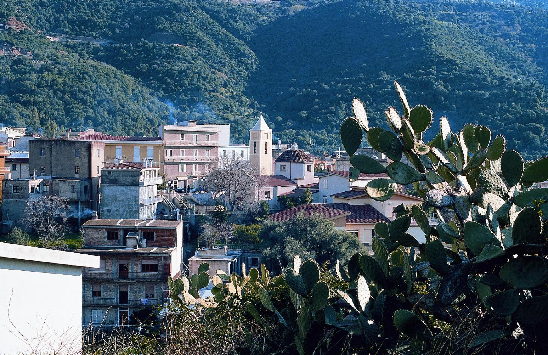
Image credits GAL Ogliastra
The pathway
Roadbook
Start from Riu e' Giuncu (212 m a.s.l.) on a dirt road. In the first 0.7 km, you will climb about 100 m with an average gradient of 15%. On your right, you'll find trail 534A, which leads to Coile Cincideddu (about 0.5 km long).
Continuing for about 0.8 km, you'll reach the end of the dirt road (at Bacu Seada, 430 m above sea level), where you'll join a trail that follows an old carriage/mule track once used by loggers.
This stretch of the trail starts with a slight incline for the first 400 meters. It's on the eastern slope of Punta Scopulavo, going through a forest of holm oaks and Mediterranean scrub, near the Riu Baccu Seàda.
For about 250 meters, the slope increases and you cross a rocky section with sparse vegetation until you reach a rest area located at an altitude of about 610 meters above sea level in the locality of Baccu e' figu, situated under a holm oak forest.
The path continues for about 300 m on a slight uphill slope to 690 m a.s.l. From here, you cross over to the other side of P.ta Scopulavò and head with a relatively flat stretch of about 500 m in a South-West direction to an altitude of 703 m a.s.l., crossing through the Mediterranean scrub.
From here, the route continues with a fairly steep descent (approximately 350 m long with an average gradient of 20-25%) to Genna Munduge (620 m a.s.l.); here we enter the territory of Talana and, descending further to the southwest for about 600 m, this trail comes to an end.
In fact, it connects to trail 532A (Anello di Munduge). At this point, we are only 300 m from the natural landmark Paule e' Munduge, where you can admire the 'lakes' of the same name.
Trail data and altimetry

Photogallery
Triei paese
SardegnaTurismo
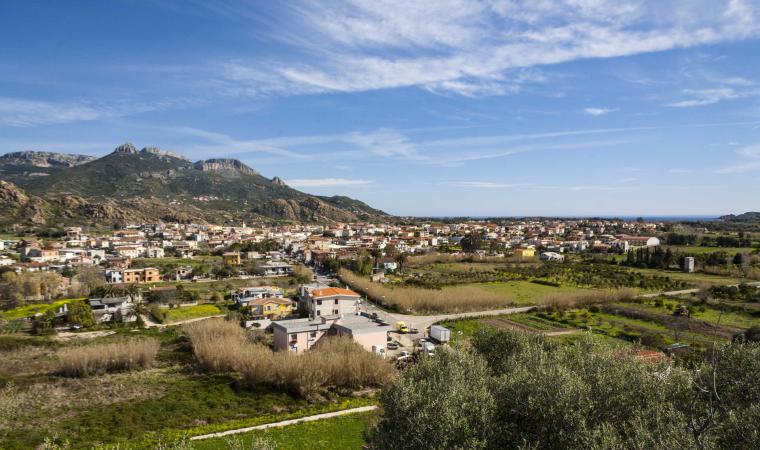
Triei paese
SardegnaTurismoDownload trail documentation
Opinions
No reviews yet for this path
