Godditorgiu - Nuraghe s'Ulimu (C 511 A)
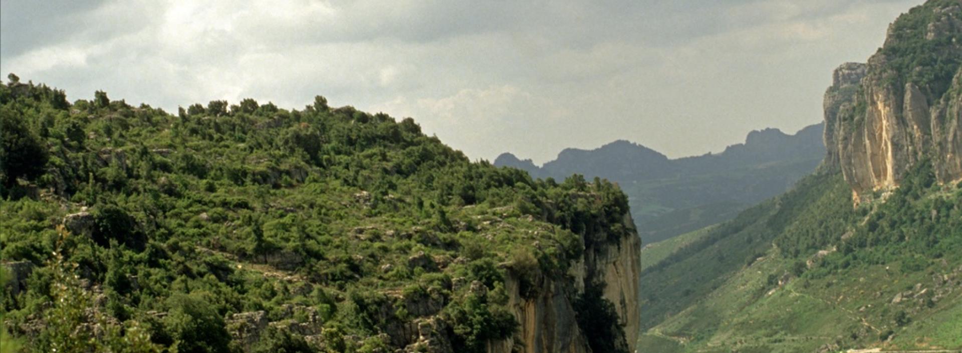
Image credits Sardegna Digital Library
The pathway
Roadbook
The trail begins in the locality of Godditorgiu (750 m.a.s.l.), abandoning path 511, and continues in a southeasterly direction along a dirt road, mainly downhill with an average gradient of about 7 %.
After about 1.4 km, it reaches the locality of Genn'e Masone (674 m.a.s.l.). Abandoning the dirt road, we continue westwards for about 0.5 km, passing under the Sedd'Orulu (or de Seroni) nuraghe, continuing southwest and after 0.6 km on a steeply sloping section, we come to a rest area not far from the domus de janas, at which point the path reaches a minimum altitude of 544 m.a.s.l.
This section of the path becomes demanding due to its gradient, ups and downs, steps and a steep surface in places.
Leaving behind the domus de janas and continuing northwards, the path starts to climb again and after 1.7 km we reach the nuraghe S'Ulimu. After a further 0.3 km in a north-easterly direction, the path ends and joins path 511 again at N.ghe s'Ulimu at an altitude of 707 m. above sea level.
Trail data and altimetry

Download trail documentation
Opinions
Reviews
Andrea
Bello, ben fatto, buon cartellonistica, pulito, facile da seguire. Siti interessanti.
