Start website main content

Nordic Walking

51 pathways

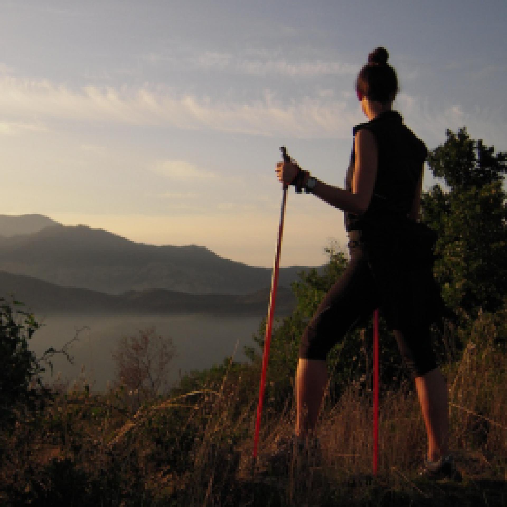
La camminata nordica o camminata con bastoni (in inglese nordic walking o pole walking) è attività fisica e sportiva che ben si coniuga con percorsi in bosco, in pianura o in vallate, lungo scogliere o spiagge.  La Rete dei sentieri della Sardegna offre tantissime occasioni per cimentarsi nella camminata nordica... 

Nordic-walking.png

Results

Gadoni town, GAL BMG itinerary starting point

GAL BMG itinerary starting point

How to get here

Start from Gadoni town, taking Provincial road SP 2 towards Seulo, then turn right onto the tarmac road in the direction of Funtana Raminosa. The beautiful road partly follows the miners’ route and runs alongside the gardens and fruit orchards they tended on their way to the mine every day from the village. As the road steadily rises, the view of the Flumendosa valley opens up. You will then pass among the buildings of the abandoned mine in the Riu Saraxinus valley. The mining site is open to visitors (www.visitgadoni.info) and is well worth a visit. Continue uphill for a few more kilometres until you reach the summit of the road. Then turn left and follow the signs for Foresta Corongia on a partly unsurfaced road. When the road flattens out you will reach the Bauzzoni picnic area, where you must leave your car.

Route location centro abitato

Rifugio, presidi abitati

Abitato di Gadoni, partenza itinerario del GAL BMG

Punto di partenza dell'itinerario del GAL BMG

How to get here

Si parte dal centro abitato di Gadoni percorrendo la SP2 in direzione Seulo, prendendo poi a destra per strada asfaltata in direzione di Funtana Raminosa. La bella strada ricalca in parte la viabilità dei minatori e costeggia gli orti ed i frutteti che essi curavano recandosi alla miniera ogni giorno, partendo dal paese. Si guadagna gradualmente quota, con vista sempre più ampia sulle vallate del Flumendosa, addentrandosi poi tra gli edifici della miniera abbandonata che occupa la valle del Riu Saraxinus. Il complesso minerario è oggi visitabile (www.visitgadoni.info) e la sua visita è fortemente consigliata. Si procede ancora in salita per alcuni km finché essa termina, prendendo a sinistra e seguendo le indicazioni per Foresta Corongia su strada parzialmente sterrata. Quando la strada si spiana si raggiunge l’area attrezzata di Bauzzoni, dove si lascia l’auto

Route location centro abitato

Rifugio, presidi abitati

Gadoni, Foresta Corongia, end point of the GAL BMG route

End point of the GAL BMG route.

How to get here

After Is Breccas, continue along the dirt road until it comes out of the forest: here, on the right, stands an isolated rocky pinnacle known as Su Pinneddu. The road now joins a main dirt track that you will follow to the right, starting to go downhill. After a long stretch in the forest, you will reach the first fork you encountered in the outward direction. Take a left here and you will soon reach the Bauzzoni area and your car.

Route location monumento naturale

Rifugio, presidi abitati

Gadoni, Foresta Corongia, arrivo itinerario del GAL BMG

Punto di arrivo dell'itinerario del GAL BMG

How to get here

Dopo Is Breccas si  prosegue sulla strada sterrata finché essa esce dal bosco: qui, sulla destra, si staglia un torrione isolato noto come Su Pinneddu. La strada si congiunge ad una sterrata principale che si segue verso destra, cominciando a scendere ed raggiungendo dopo un lungo tratto nel bosco il primo bivio incontrato all’andata. Qui si prende a sinistra, raggiungendo in breve la zona di Bauzzoni e l’auto.

Route location monumento naturale

Rifugio, presidi abitati

Gadoni, Foresta Corongia. Between breccas and disterrus

Access 

Depart from the centre of Gadoni along the SP2 in the direction of Seulo, then turning right onto the tarmac road in the direction of Funtana Raminosa. This beautiful road partly follows the miners' old route and runs alongside the allotments and orchards that they tended everyday, on their way to the mine, as they left the village. You gradually gain altitude, with increasingly broader views of the Flumendosa valleys, then you approach the buildings of the abandoned mine that occupies the Riu Saraxinus valley. The mining complex can be visited (www.visitgadoni.info) and a visit is highly recommended. Continue uphill for a few more kilometres until it ends, turning left and following the signs for Foresta Corongia on a partially unsurfaced road. When the road flattens out, you reach the Bauzzoni picnic area, where you leave the car. 

Su Campalini 

Continue on a dirt road on foot, ignoring some minor detours and turning left at the only obvious fork. Just below the road, reachable with some difficulty and unmarked, are the caves of Grutas de Perdu, with a scenic waterfall descending from the vault. The road you follow is now level, beneath a beautiful woodland area where you can identify the circular clearings, devoid of vegetation, where the charcoal burners built their threshing floors for the production of charcoal. Halfway along the long straight stretch, you come to a wooden signpost indicating Su Campalini: you leave the main dirt road and enter the woods, reaching the vertiginous edge of the Lartinatzu walls: here Foresta Corongia precipitates towards the Flumendosa riverbed and here stands a slender and bold rocky pinnacle, almost a bell tower, as its name in Sardinian seems to suggest.

Is Breccas 

After a long panaoramic rest andbreak, you return to the dirt road continuing in a southerly direction until you come to a large fork in the road: Here you turn right, uphill, past a gate and continue on the main road. Soon the road becomes flat again, on clay soil and begins to skirt some unique isolated rock towers that become more and more numerous, until they form a veritable labyrinth of walls, caves, crevices and diaclasas. The area is known as Is Breccas and was the kingdom of shepherds and the bandit Torracorti, who lived over a century ago. 

Su Pinneddu 

Exploring the labyrinth of Is Breccas is worth every minute spent and various floristic endemisms can be recognised in the walls, as you walk along the slender paths that follow the audacious conformations of the rock. You then continue along a dirt road until it emerges from the forest: here, on the right, stands an isolated tower known as Su Pinneddu. The road joins a main dirt track which you follow to the right, beginning to descend and reaching, after a long stretch in the forest, the first fork encountered on the way. Here you turn left, shortly reaching the Bauzzoni area and the car.

Itinerary roadbook

Lenght 25.600 m

Gadoni.gpx

Total elevation gain 1 022 metri

Gadoni, Foresta Corongia. Tra breccas e disterrus

Accesso 

Si parte dal centro abitato di Gadoni percorrendo la SP2 in direzione Seulo, prendendo poi a destra per strada asfaltata in direzione di Funtana Raminosa. La bella strada ricalca in parte la viabilità dei minatori e costeggia gli orti ed i frutteti che essi curavano recandosi alla miniera ogni giorno, partendo dal paese. Si guadagna gradualmente quota, con vista sempre più ampia sulle vallate del Flumendosa, addentrandosi poi tra gli edifici della miniera abbandonata che occupa la valle del Riu Saraxinus

Il complesso minerario è oggi visitabile (www.visitgadoni.info) e la sua visita è fortemente consigliata. Si procede ancora in salita per alcuni km finché essa termina, prendendo a sinistra e seguendo le indicazioni per Foresta Corongia su strada parzialmente sterrata. Quando la strada si spiana si raggiunge l’area attrezzata di Bauzzoni, dove si lascia l’auto. 

Su Campalini 

Si prosegue su strada sterrata a piedi, ignorando alcune deviazioni secondarie e prendendo a sinistra all’unico bivio evidente. Poco sotto la strada, raggiungibili con qualche difficoltà e non segnalate, si incontrerebbero le grotte di Grutas de Perdu, con una scenografica cascata che discende dalla volta. La strada che si percorre è ora in piano, sotto un bel bosco dove si riconoscono gli spiazzi circolari e privi di vegetazione dove i carbonai costruivano le loro aie per la produzione del carbone da legna. 

A metà del lungo rettilineo si incontra un cartello in legno che segnala Su Campalini: si abbandona la sterrata principale e ci si inoltra nel bosco, raggiungendo il ciglio vertiginoso delle pareti di Lartinatzu: qui Foresta Corongia precipita verso il greto del Flumendosa e qui si staglia un pinnacolo roccioso esile ed ardito, quasi un campanile, come il nome in sardo pare suggerire. 

Is Breccas 

Dopo una lunga sosta panoramica si ritorna sulla strada sterrata continuando in direzione sud finché si incontra un grosso bivio: qui si prende a destra, in salita, oltrepassando un cancello e proseguendo sulla strada principale. Ben presto la strada ritorna in piano, su terreno argilloso e comincia a costeggiare dei singolari torrioni isolati di roccia che divengono sempre più numerosi, fino a formare un vero e proprio labirinto di pareti, grotte, fenditure e diaclasi. La zona è nota come Is Breccas ed era il regno di pastori e del bandito Torracorti, vissuto oltre un secolo fa. 

Su Pinneddu 

L’esplorazione del labirinto di Is Breccas vale ogni minuto speso e nelle pareti si potranno riconoscere vari endemismi floristici, mentre si percorrono gli esili sentieri che seguono le ardite conformazioni della roccia. Si prosegue quindi ancora su sterrata finché essa esce dal bosco: qui, sulla destra, si staglia un torrione isolato noto come Su Pinneddu. La strada si congiunge ad una sterrata principale che si segue verso destra, cominciando a scendere ed raggiungendo dopo un lungo tratto nel bosco il primo bivio incontrato all’andata. Qui si prende a sinistra, raggiungendo in breve la zona di Bauzzoni e l’auto.

Itinerary roadbook

Lenght 25.600 m

Gadoni.gpx

Total elevation gain 1 022 metri

Gavoi, Gusana. The lake between the mountains

Access 

From the inhabited centre of Gavoi, take the SS 128 towards Ovodda, downhill, until you reach the signs for the Sa Valasa Hotel-Restaurant on the right. You are now on the shores of the beautiful Lake Gusana, the vast reservoir created for energy production and surrounded by dense woods. On the left-hand side of the road, just beyond the turn off for the Hotel where you can leave your car, you come to an uphill dirt road. 

S’Iscrithola 

Take the dirt track that gains height for a few dozen metres, then continue on the flat illuminated ridge covered with Mediterranean scrub. The road is extraordinarily panoramic and it is possible to admire a large portion of the lake, with the characteristic contrasts between the colours of the water and the surrounding woods that confers its beauty. The dirt road proceeds bending slightly to the left and gradually plunges into a forest of cork trees and evolved Mediterranean scrub, coming to a fork where you continue straight ahead. Some tens of meters apart, slightly downhill, are some granite boulders that you will encounter: you are in the locality of Iscrithola and here you find a domus de Janas necropolis with five tombs, excavated directly into the boulders, while a large cavern in a larger boulder shows a paved floor and signs of long anthropogenic presence 

Il lago

Continue for a short distance, ignoring some minor detours to the left and then taking a right at an obvious fork. You are now almost back at lake and proceed in a south-easterly direction, still keeping to the main road. After passing a small building, you return to the SS 128 via a gate that must be closed again. Here you could return to Sa Valasa, however you can continue to the left, over the bridge, after which you go down, along an recognisable dirt road in the direction of the lake, on the right. Here begins a splendid path that runs alongside the lake, always shaded by the forest, following the gentle contours of the banks and with a few slopes. Occasionally, you will come across a few areas equipped for resting with wooden benches and tables. The last section of the route bypasses the Hotel Taloro accommodation facility, beyond which a short dirt road leads back to the SS 128, through which it is possible to easily return to Sa Valasa and Gavoi. For those who wish to extend the excursion, it is possible, from the Hotel Taloro, to cross the road and make a large loop along the Riu Perdas Fittas, in the Aratu valley, where a series of dirt roads lead to the river and some menhirs still standing vertically.

Lenght 20.200 m

gavoi.gpx

Total elevation gain 690 metri

Gavoi, Gusana. Il lago tra le montagne

Accesso 

Dal centro abitato si prende la SS 128 in direzione di Ovodda, in discesa, fino ad incontrare sulla destra le indicazioni per l’Hotel-Ristorante Sa Valasa. Si è ormai sulle sponde del bel Lago di Gusana, il vasto invaso nato per la produzione di energia e circondato da fitti boschi. Sulla sinistra della strada, poco oltre la deviazione per l’Hotel dove è possibile lasciare l’auto, si incontra una strada sterrata in salita.

 S’Iscrithola 

Si imbocca la sterrata che guadagna quota per qualche decina di metri, proseguendo poi in piano immersa in un costone soleggiato e coperto di macchia mediterranea. La strada è straordinariamente panoramica ed è possibile ammirare una vasta porzione di lago, con i caratteristici contrasti tra i colori dell’acqua e dei boschi circostanti che ne hanno decretato la fortuna. La sterrata procede piegando leggermente a sinistra e si immerge gradualmente in un bosco di sughere e macchia evoluta, incontrando un bivio dove si prosegue dritti. 

Poche decine di metri, in leggera discesa, separano dall’incontro con alcuni massi granitici: si è in località Iscrithola e qui si trova una necropoli a Domus de Janas che conta 5 tombe, scavate direttamente nei macigni, mentre un grande antro in un masso più grande mostra un fondo pavimentato e segni di lunga frequentazione antropica. 

Il lago 

Si prosegue ancora per un breve tratto, ignorando alcune deviazioni minori sulla sinistra e prendendo poi a destra ad un bivio evidente. Si è tornati quasi alla quota del lago e si procede in direzione sudest, tenendo sempre la strada principale. Superato un piccolo edificio si ritorna alla SS 128 per un cancello che è opportuno richiudere. Qui si potrebbe tornare a Sa Valasa ma si può proseguire a sinistra, sul ponte, superato il quale si scende per una evidente sterrata in direzione del lago, sulla destra. Qui inizia uno splendido sentiero che costeggia il lago, sempre ombreggiato dal bosco, seguendo il dolce andamento delle sponde e con scarse pendenze. Saltuariamente, si incontrano alcune aree attrezzate per la sosta con panche e tavoli di legno

L’ultimo tratto del percorso aggira la struttura ricettiva dell’Hotel Taloro, oltre il quale una breve sterrata riconduce alla SS 128, tramite la quale è possibile ritornare facilmente a Sa Valasa e a Gavoi. Per chi volesse prolungare l’escursione è possibile, dall’Hotel Taloro, attraversare la strada e compiere un grande anello lungo il Riu Perdas Fittas, nella valle di Aratu, dove una serie di strade sterrate conducono al fiume e ad alcuni Menhir ancora in posizione verticale.

Lenght 20.200 m

gavoi.gpx

Total elevation gain 690 metri

Lodine, Puddis. A panoramic balcony overlooking the lake

Access 

Although the municipal park of Puddis is owned by the Municipality of Lodine, it belongs territorially to the Municipality of Gavoi, but the strong bond of the Lodinese community with this mountain is also due to its proximity, to the small mountain centre of Gavoi. You therefore set off on foot from the SP30, which is also the main road, spotting the signs for the Puddis Municipal Park that lead to the slightly downhill Via IV Novembre. 

The Natural Spring 

After a short stretch, turn right, quickly reaching the natural spring of S’Antana 'e Bidda, located slightly below street level and always a fresh, pleasant ambience. With the spring situated behind your shoulder, begin to climb gradually onto a rolling road, flanked by dry stone walls, surrounded by mature and sparse downy oaks, in the distinctive environment of the Barbagia di Ollolai. The road goes on straight and after the first stretch it flattens out, remaining cemented up to a large clearing, where the paved section ends. Slightly to the left, in respect to the direction of arriving, there is located a gate that must be closed, whilst a wooden sign indicates that you have arrived at the park of Puddis

Puddis 

One then enters the large tancato, aiming for a dirt road on the left. It would also be possible to visit the chestnut grove, located at a lower altitude, which is currently being coppiced by the local government. Having taken the dirt road, you start climbing slightly, flanked by a wood of rather young downy oaks, interspersed with dense heather. The profile of a large antenna that acts as a television repeater stands out over the area. The road continues in a south westerly direction and then bends sharply to the right in the direction of the antenna. On the left here is a narrow path that descends slightly, which heads towards a large clearing overlooked and dominated by some beautifully shaped granite rocks, decorated with beautiful tafonate. 

Lake view 

One cautiously climbs up the rocks, to discover a panorama of extraordinary vastness. At the foot of the peak, the valley of Gusana opens up, with its mountain lake surrounded by woods taking centre stage. Gennargentu and Supramonte, in the background, crown with their mountainous silhouettes a maze of wooded valleys, undulating ridges, broken by granite peaks, distant mountain villages or deep gorges. Near the cliff, the houses of Gavoi and the peaks of San Basilio conclude this extraordinary view of this corner of Sardinia. Once the visit is complete, you return to the village by the road you followed on the outward journey.

Lenght 2.800 m

lodine.gpx

Total elevation gain 116 metri