The route was created as part of a collaboration between the GAL Ogliastra and the FoReSTAS Agency, with the aim of offering hikers an immersive experience in the natural and scenic beauty of the Ogliastra area. The itinerary features points of interest along every section. You can choose your starting stage and build your own customized route, traveling from north to south or from south to north. The direction of travel may change, but the quality of the landscape remains unchanged.
The path
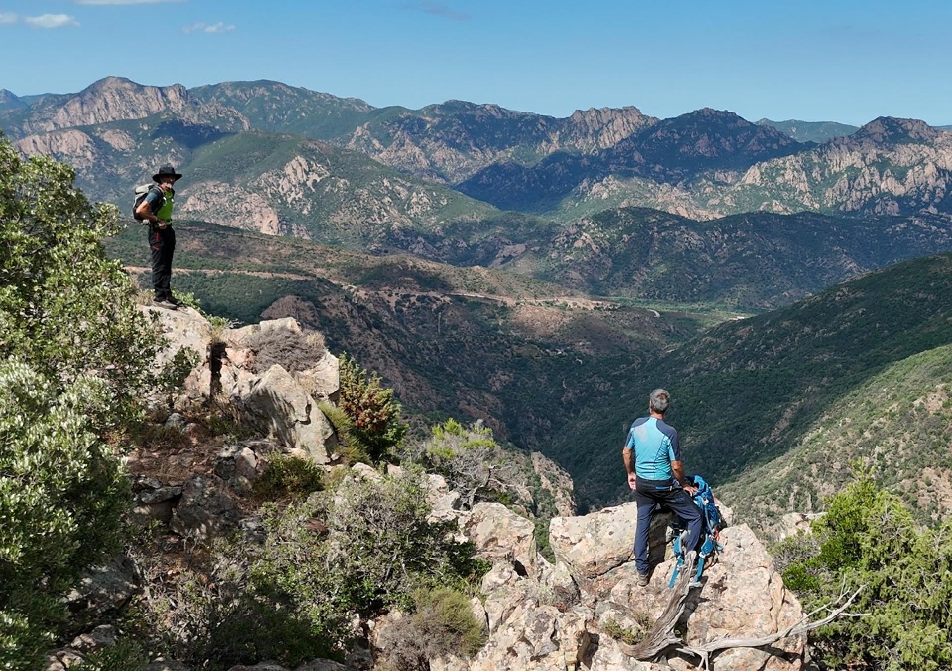
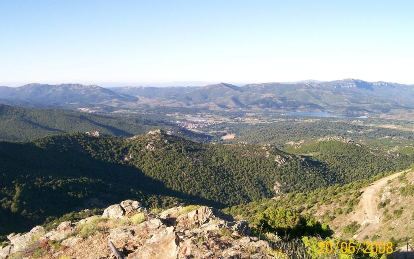
The route alternates between sections of varying difficulty, combining relaxing, accessible stretches with more demanding climbs and panoramic viewpoints.
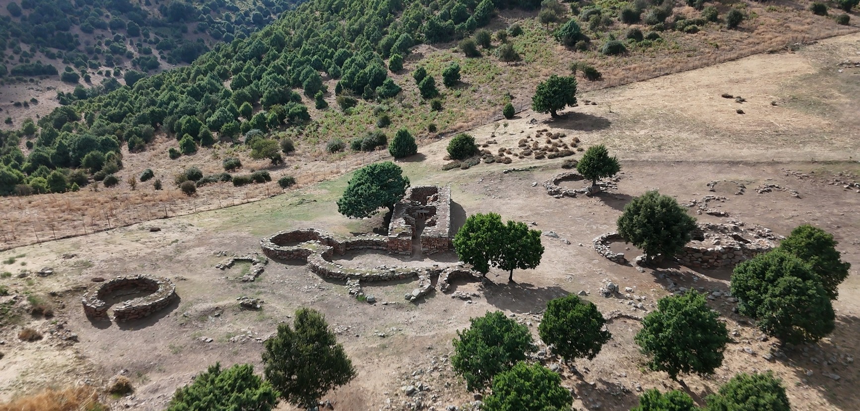
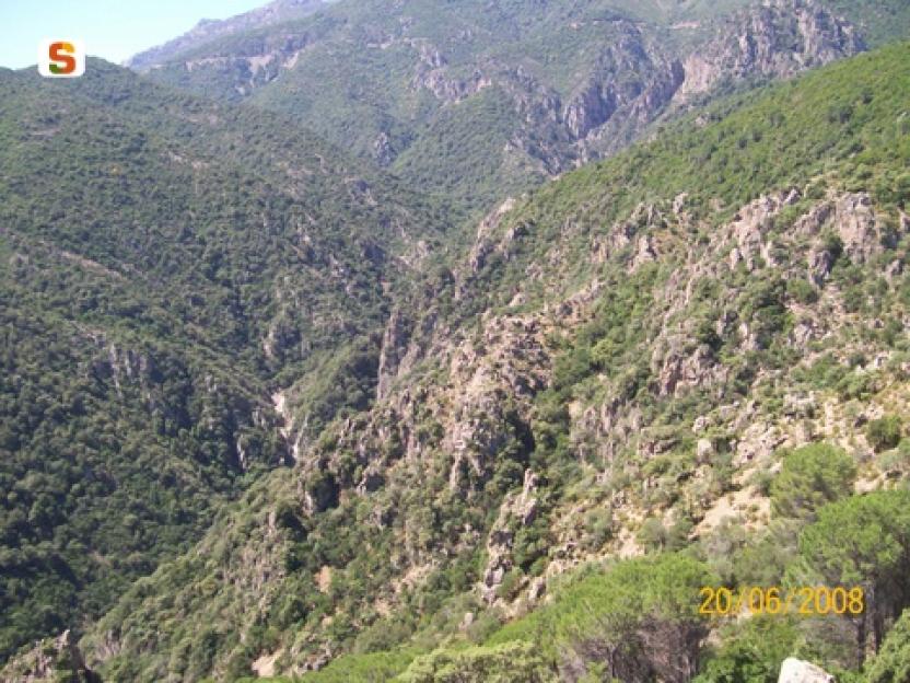
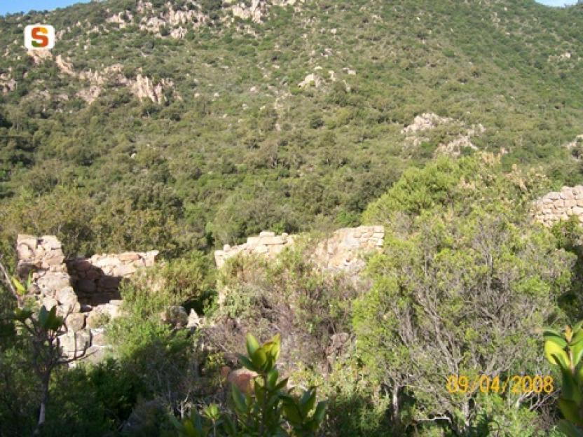
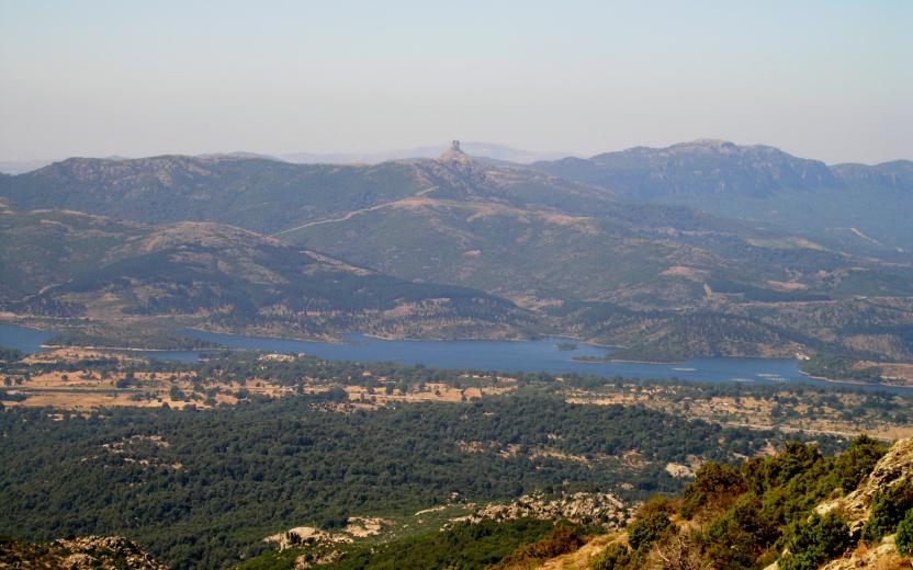
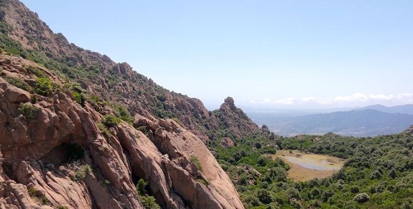
It winds through a wide range of natural environments—dense forests, mountain ridges, limestone plateaus, and reforested areas—in a constant rhythm of ascents and descents that inspire both movement and discovery. The trail unfolds in a landscape shaped by the interaction between nature and traditional human activities, marked by archaeological remains and traces of a land-use system rooted in pastoralism and rural life.
Views of the sea, flowing streams, quiet clearings, and rock formations sculpted by time enrich the experience, offering scenic glimpses and a pleasant sense of deep connection with the natural surroundings.
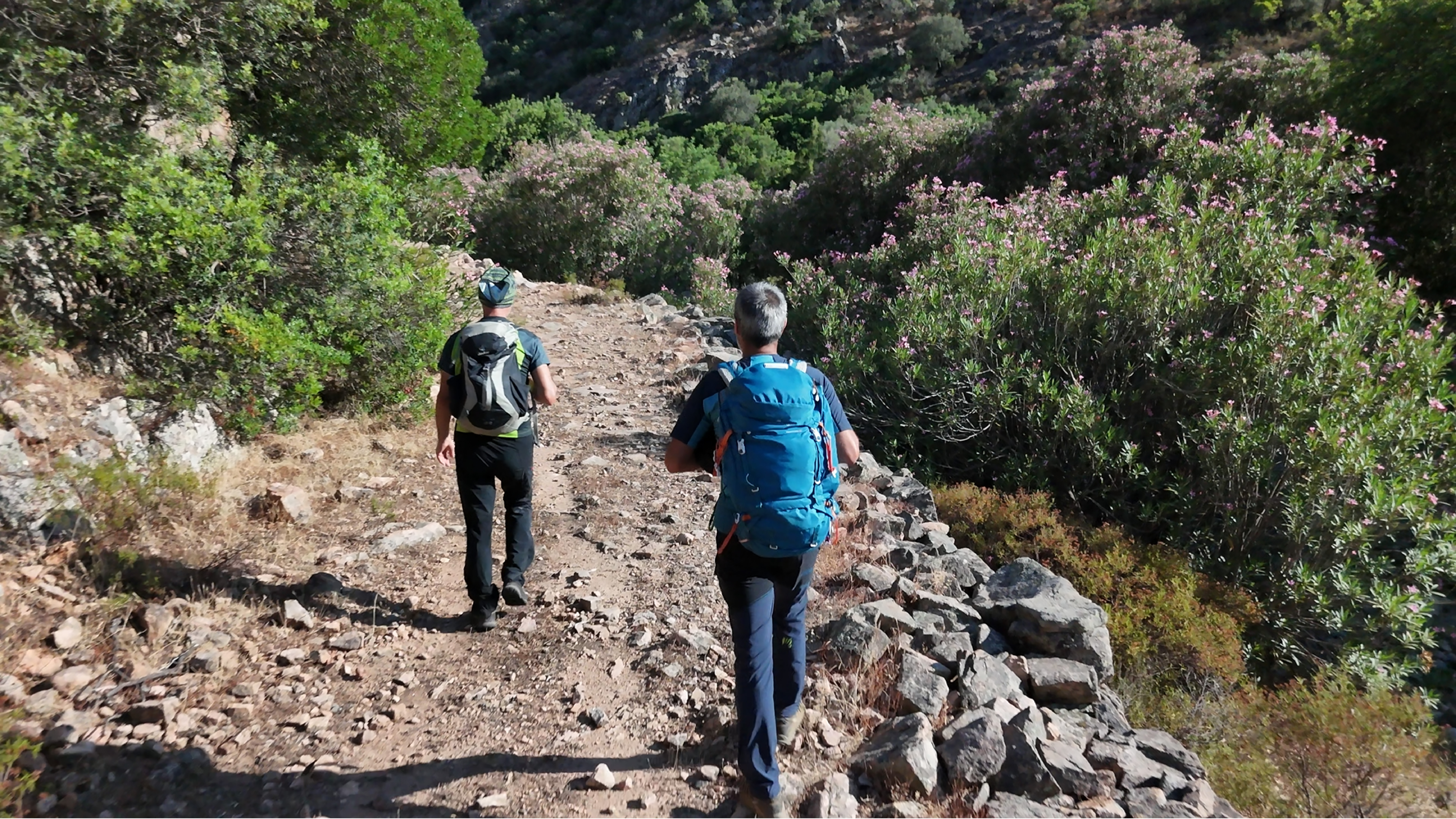
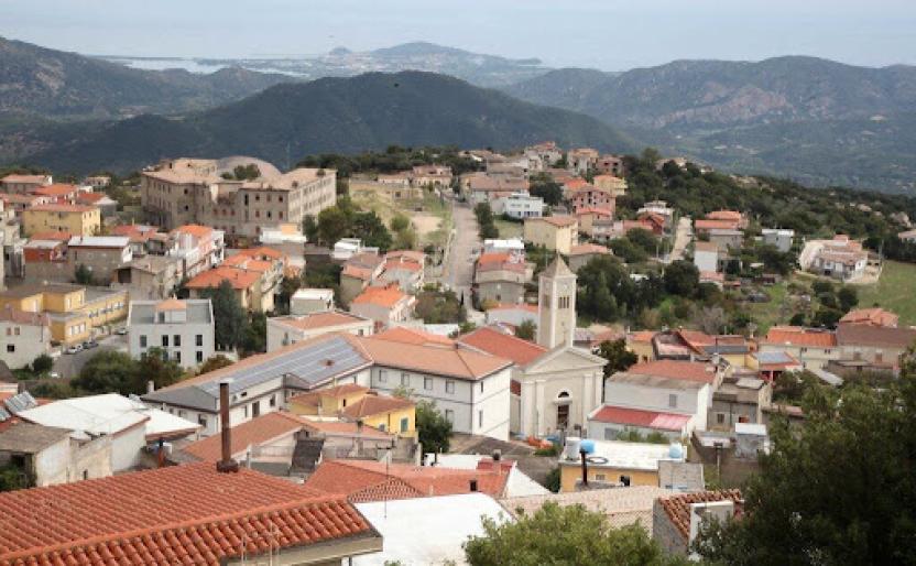
Although the route does not directly pass through the main towns, it still offers the opportunity to detour to visit them and discover their traditions.It is an immersive journey that encourages walking with open eyes and a mindful step.
From Olinie Mount to Carcinargios
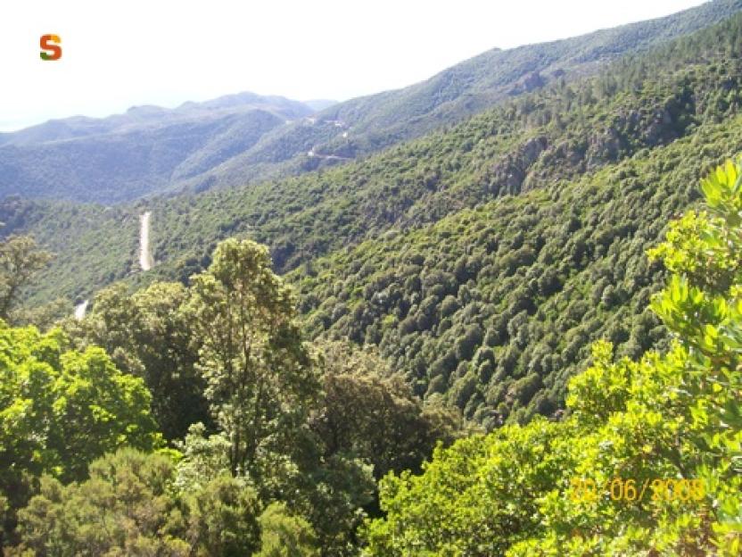
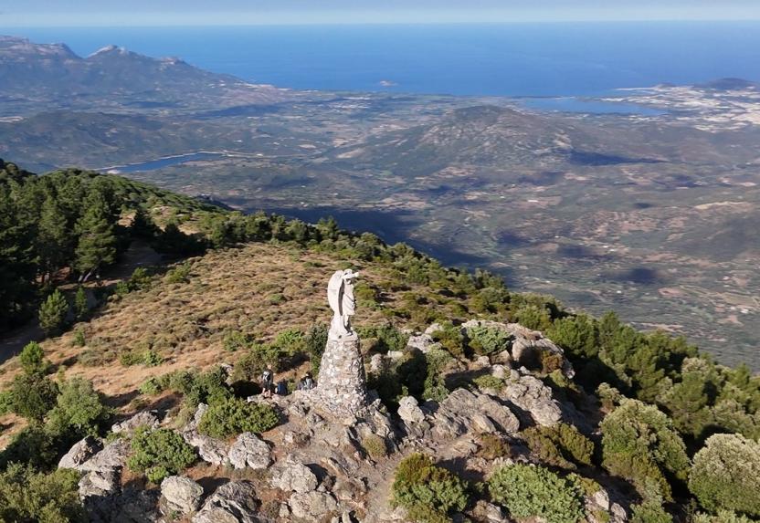
Leaving the summit of Monte Olinie, at over 1,300 meters above sea level, the route begins with a short stretch of dirt road before joining a trail that descends along the eastern slope through a quiet pine forest. The descent leads to an old abandoned road, once a vital link between Talana and Villagrande Strisaili, two historic villages in Ogliastra’s Blue Zone.
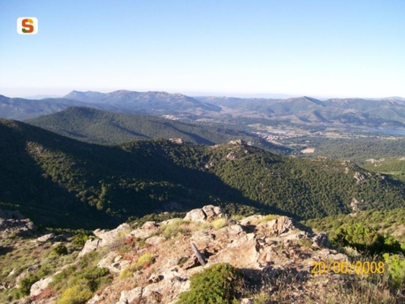
After this section, the trail continues along a mix of paths and secondary roads, entering the forest complex managed by the regional agency Fo.Re.S.T.A.S., which also has one of its operational offices in the area. The route follows the ridges west of the Rio Bacu Sa Figu, known among canyoning enthusiasts for its striking rock formations and unique environmental features.
In the area of Coa ‘e Serra, near the provincial road connecting Urzulei, Talana and Lotzorai, the trail enters the riverbed, heading toward the base of the hill that conceals the seasonal swamp Paule Munduge, a key point of the next stage.
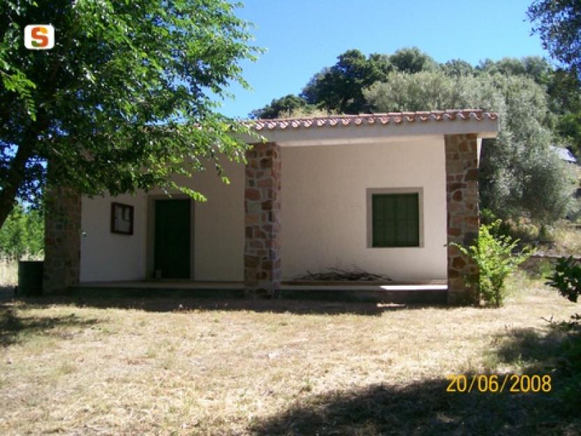
In the final part of the route, the trail passes through a cork oak forest and encounters several livestock farms. Despite the challenges faced by the sector, these farms continue to preserve traditional knowledge and practices deeply rooted in the local territory.
This stage is also of interest from a human perspective: the signs of human presence in the landscape, though subtle, are clearly recognizable to the attentive observer. The area is still a setting for traditional civic uses, such as firewood gathering and grazing, which continue to provide rights and benefits to local communities.
In this context, Fo.Re.S.T.A.S. operates with the goal of maintaining a delicate balance between the needs of the resident populations and the protection of the natural environment, promoting sustainable land management.