The route was created as part of a collaboration between the GAL Ogliastra and the FoReSTAS Agency, with the aim of offering hikers an immersive experience in the natural and scenic beauty of the Ogliastra area. The itinerary features points of interest along every section. You can choose your starting stage and build your own customized route, traveling from north to south or from south to north. The direction of travel may change, but the quality of the landscape remains unchanged.
The path
The route alternates between sections of varying difficulty, combining relaxing, accessible stretches with more demanding climbs and panoramic viewpoints.
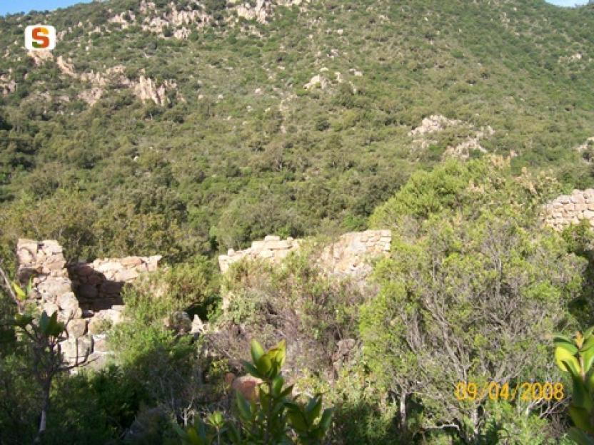
It winds through a wide range of natural environments—dense forests, mountain ridges, limestone plateaus, and reforested areas—in a constant rhythm of ascents and descents that inspire both movement and discovery. The trail unfolds in a landscape shaped by the interaction between nature and traditional human activities, marked by archaeological remains and traces of a land-use system rooted in pastoralism and rural life.
Views of the sea, flowing streams, quiet clearings, and rock formations sculpted by time enrich the experience, offering scenic glimpses and a pleasant sense of deep connection with the natural surroundings.
Although the route does not directly pass through the main towns, it still offers the opportunity to detour to visit them and discover their traditions.It is an immersive journey that encourages walking with open eyes and a mindful step.
From Carcinargios to Mamutorco (Triei)
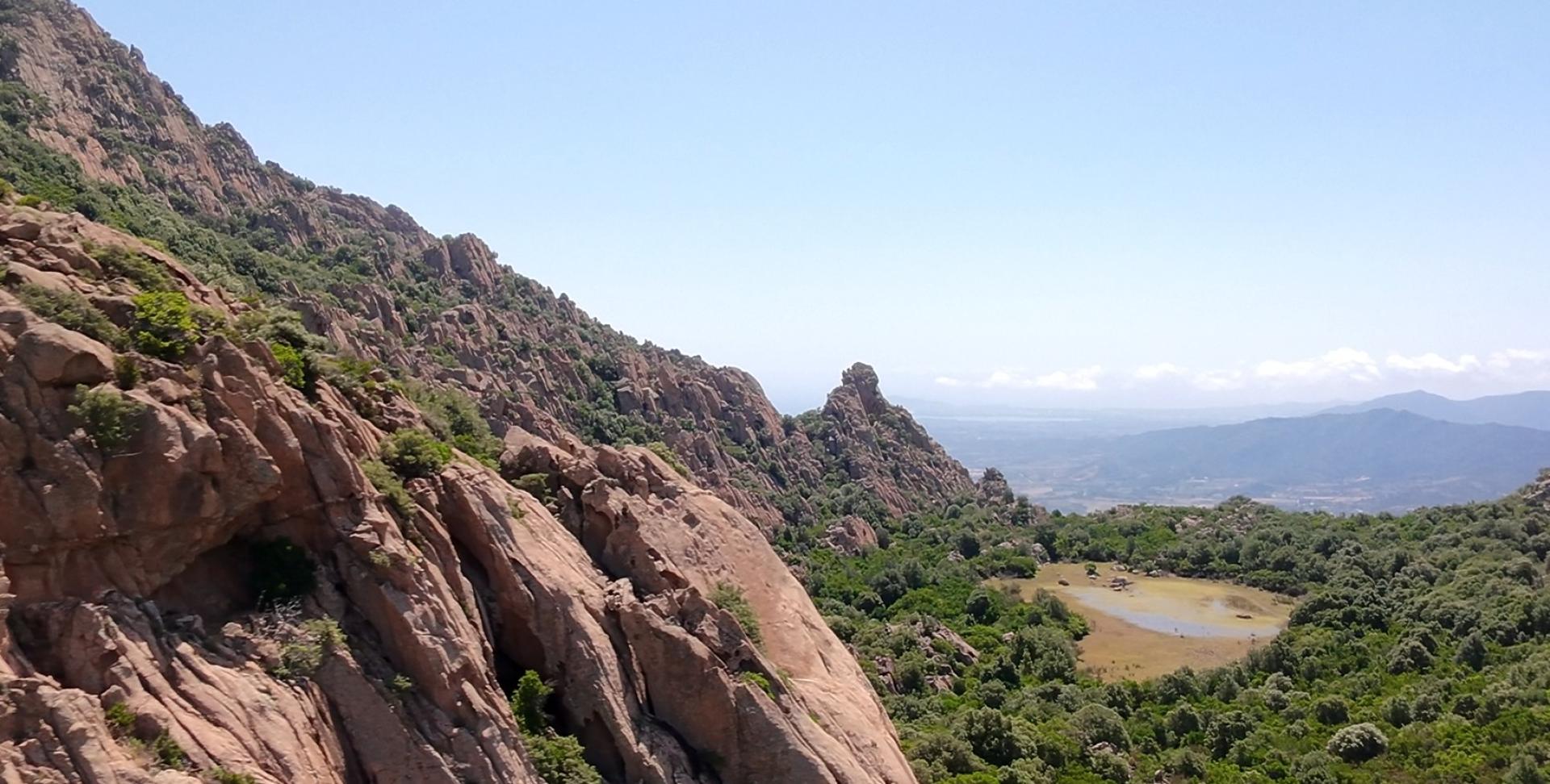
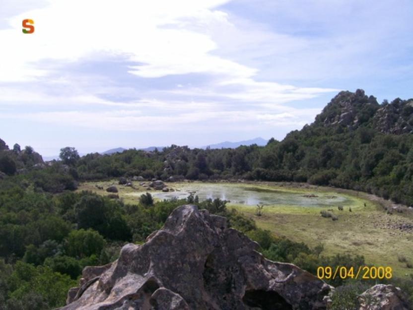
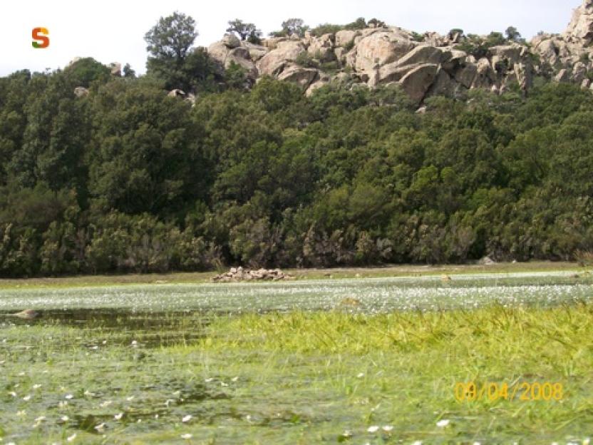
The ascent towards Monte Munduge and its characteristic paule (seasonal wetland) (21) can be approached from two access points, both starting from Carcinargios. The most well-known and frequented route follows a dirt track that gently climbs southeast, passing by the Su Carcinargiu spring and the nearby picnic area. Along the way, one encounters old charcoal production clearings and striking panoramic views over the coastal plain.
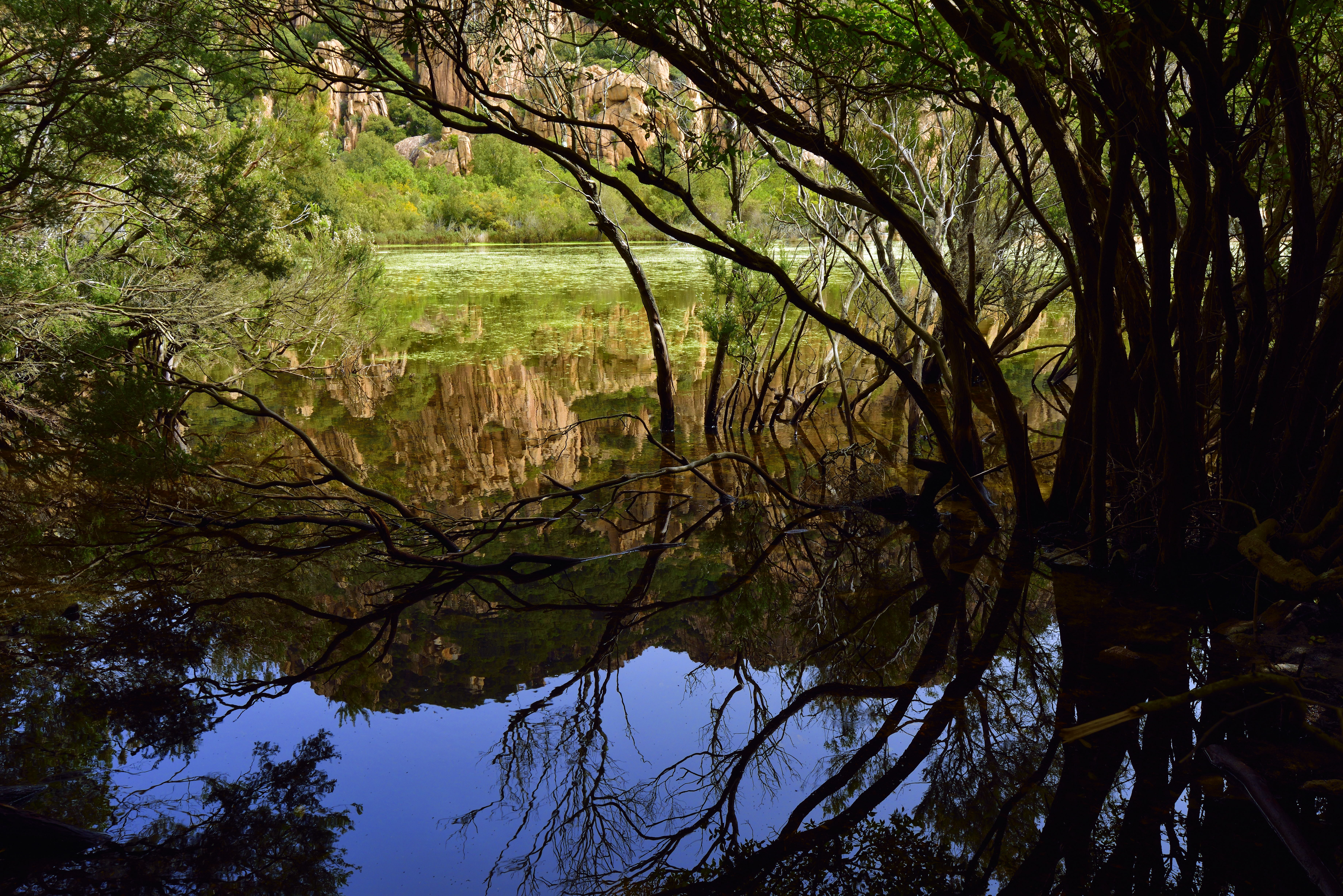
Once on the plateau, surrounded by forest, the wetland is revealed, often dry in summer or after long droughts.
The charm of the place goes beyond the wetland itself: the surrounding granite formations, shaped by time and rich in tafoni, frame the vegetation and create a unique and mysterious landscape. The forest is dominated by Mediterranean scrub, with cork oaks, strawberry trees, and surprisingly tall, vigorous myrtle bushes. Sightings of mouflons near the wetland are not uncommon, especially when water is present.
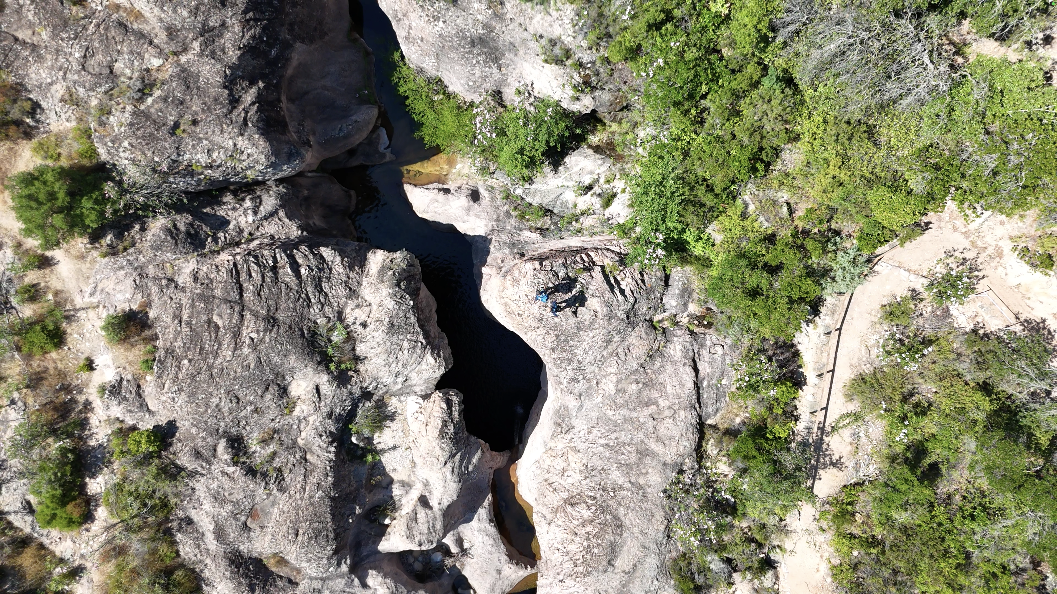
As you continue to climb, the elevation increases and spectacular views open up. The trail crosses remote and rarely visited areas until it reaches Mamutorco, where granite rocks create captivating scenery around cool natural pools.
This is the ideal spot for a refreshing break, especially on hot days: the water invites you to dive in, cool off, and catch your breath.
The route then continues toward Triei, but not before stopping at the archaeological site of Osono,where you can admire a well-preserved Tomba dei Giganti (Giant’s Tomb), a testament to the Nuragic presence in this area rich in both history and nature.