Gerrei
Gerrei
: description
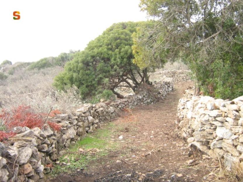
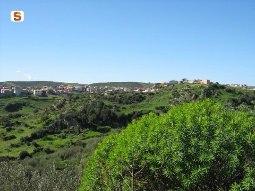
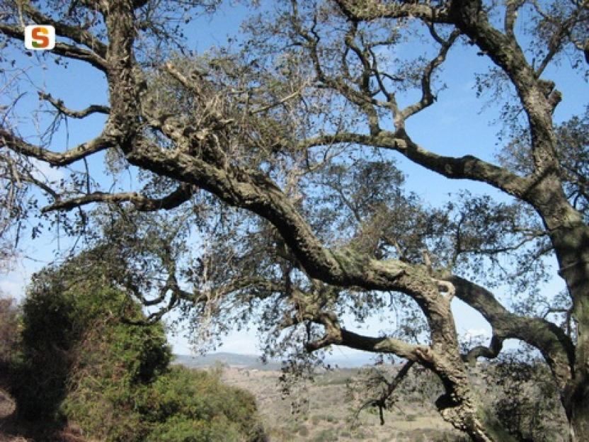
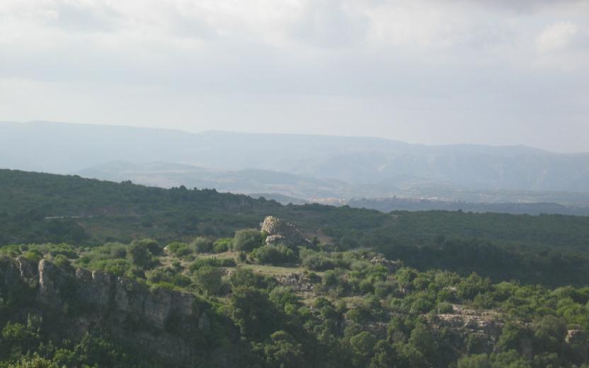
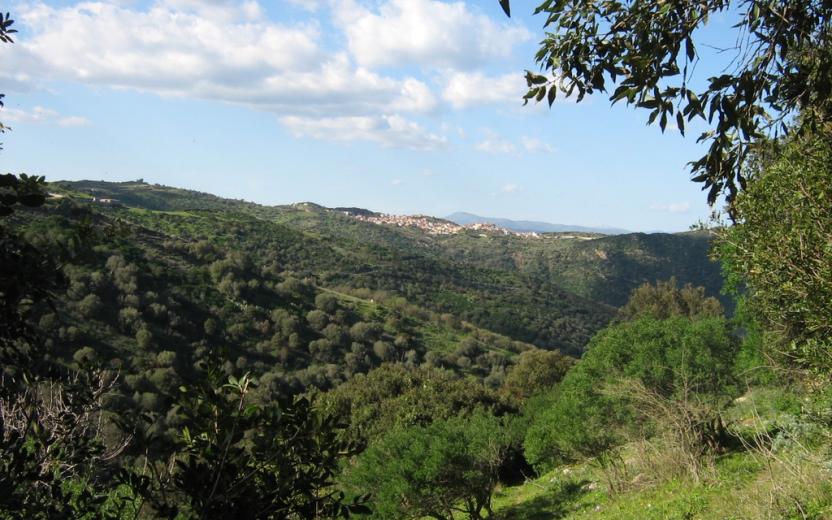
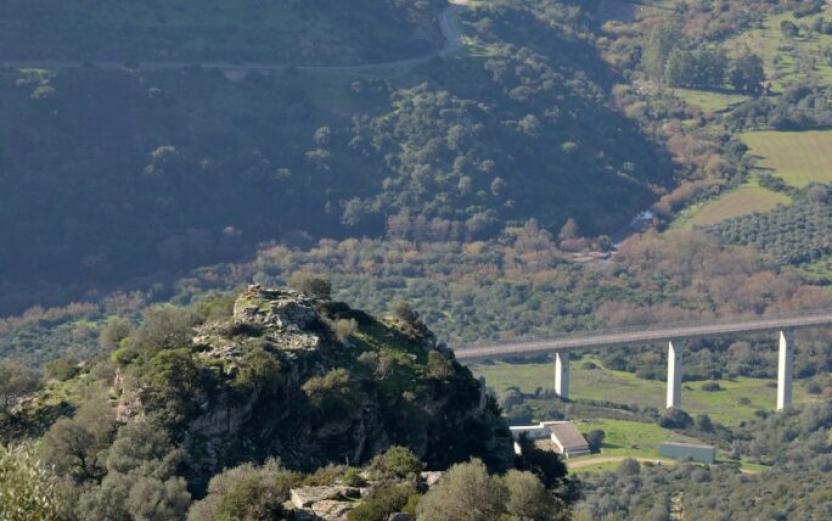
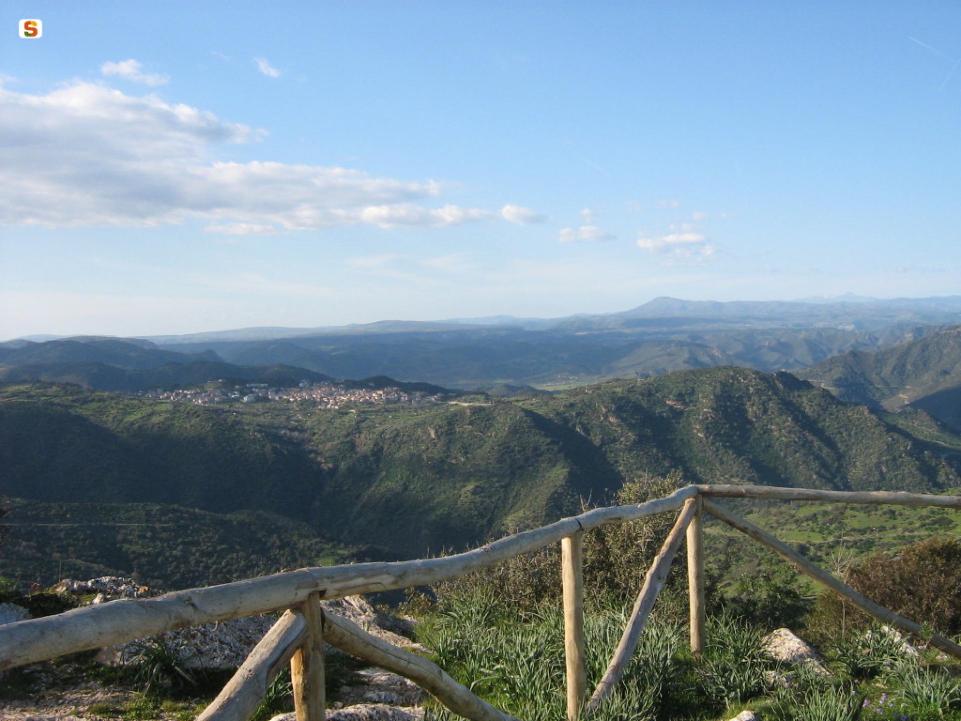
The area of Gerrei, and in particular the plateau of Villasalto, has for centuries been an important crossroads between the areas downstream of the Flumendosa river and more inland mountainous regions, where the seasonal transhumance of livestock took place. Traditional rural routes can thus be identified by permanent signs such as dry stone walls, residual cobblestones, "cottis” for temporary shelter for livestock, springs and drinking troughs. Moreover, since ancient times, traditional farming and pastoral activities existed alongside mining and the development of urban settlements, permanently characterising the landscape. In fact, as you cross the flat areas of Su Pardu,
you can note square plots with boundaries marked by dry stone walls, clear evidence of past agricultural activity that is kept alive, in a marginal way, in some plots where livestock is kept.
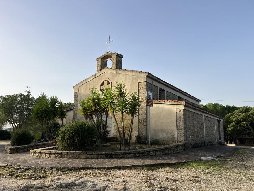
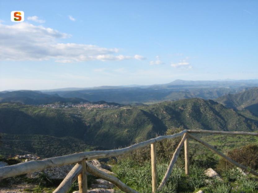
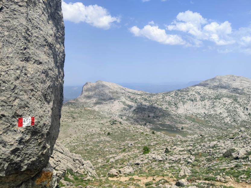
The landscape of the Villasalto region therefore stands out for its uniqueness, with many distinctive features that deserve to be highlighted. The marked trails are characterised by short and medium distance but offer different themes and are distinguished by the presence of notable environmental, historical or landscape features.
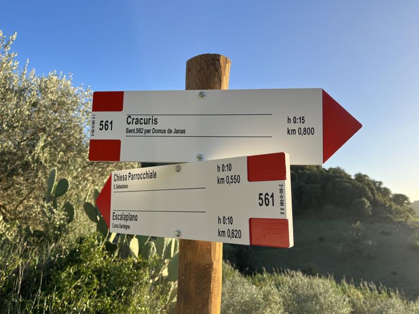
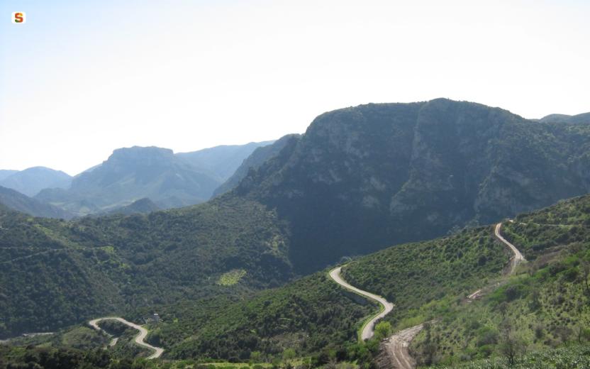
The area is criss-crossed by numerous dirt tracks, including long-distance ones, which connect distant places and have yet to be replaced by tarmacked roads; thus, they still represent the only communication routes available.