Escalaplano - Is Arrantas, Italy Path (C 213)
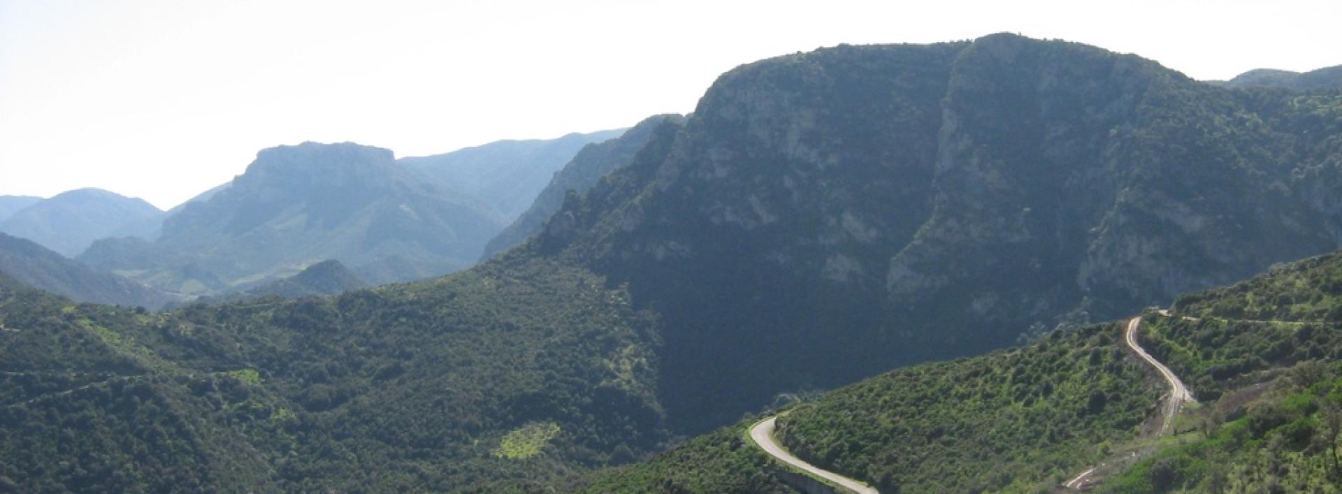
Image credits Sardegna Digital Library
The pathway
Useful informations
Roadbook
Starting from the village of Escalaplano and descending towards the Flumineddu River, after about 2.2 km you reach the ancient Babalia spring.
Continuing downhill for another 1.2 km along the same mid-slope path, bordered by dry-stone walls both uphill and downhill, and passing through dense oak vegetation, you arrive at the crossing over the Flumineddu River, which always has flowing water.
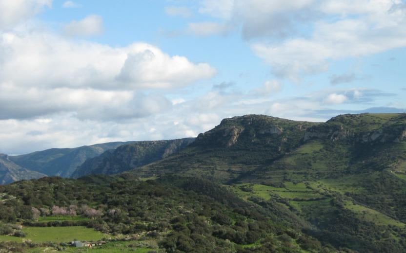
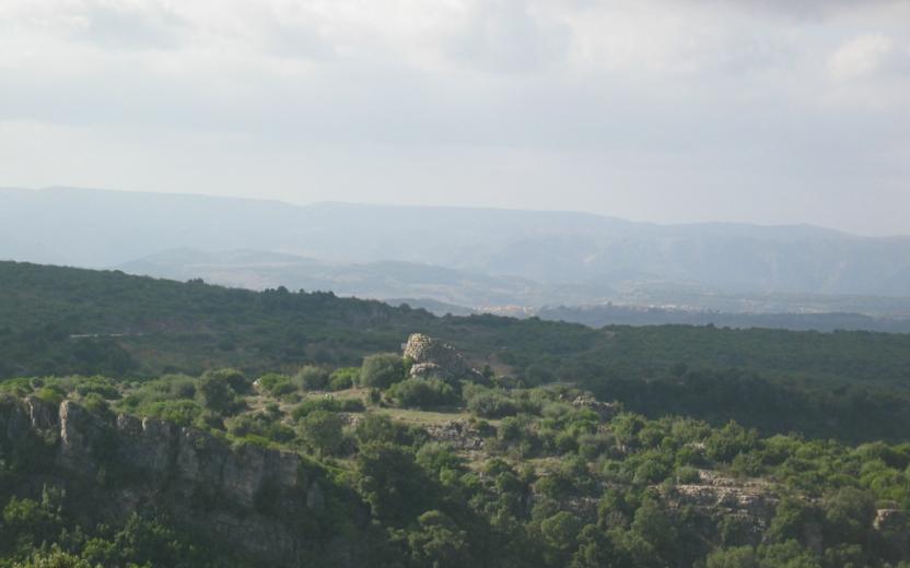
Once you have forded the river, continue uphill toward the mountain. After approximately another 2.6 km, you reach the plateau of Is Arrantas at a panoramic rest area characterized by Mediterranean scrub, from which you can observe in the distance the plateau of Sa Colla (in the territory of Seui), Mount Santa Vittoria (in the territory of Esterzili), Perda Liana, and the Gennargentu mountain range.
Proseguendo per altri 800 mt circa si intercetta il Sentiero Italia CAI.
Dopo averlo percorso per circa altri 400 ml. si devia a destra sul sentiero/strada vicinale per “Pranu ‘e Testus” “Tollastia” per altri 500 ml. e si arriva al monumento naturale Sa Trona, ossia una roccia piatta in pietra arenaria che si allunga verso il vuoto, con un ampio e spettacolare panorama verso sud, con vista su gran parte del Sarrabus-Gerrei e che si estende fino ai Monti Serpeddì e Sette fratelli.
Trail data and altimetry

Download trail documentation
Points of interest
Skip POI slider and jump to the next section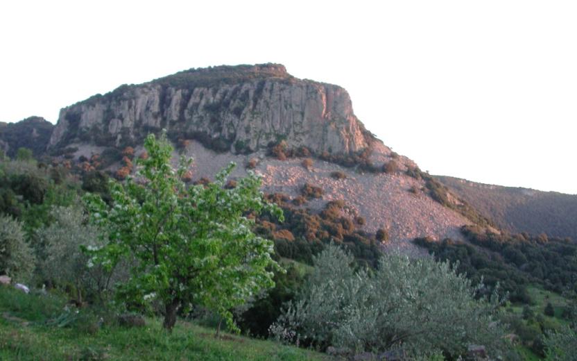
Points of interest Cuile Arrantas, arrival point SI Z23
Points of interest Cuile Is Arrantas, start of SI Z24
Related itineraries
Skip the Related itineraries slider and jump to the next section
Opinions
No reviews yet for this path
