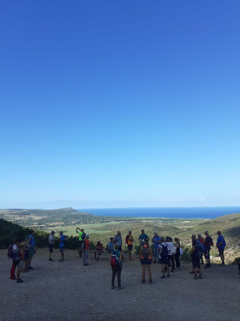
The area ofIglesiente, which for our purposes also includes the territory of Marganai, is endowed with a remarkable naturalistic heritage that includes the sea, the coastline and mining environments. The whole area is criss-crossed by an extensive network of trails and a rural road network which are testament to the area’s mining past and the activity of Tuscan woodcutters in the 1800s. The rural road network attracts enthusiasts of hiking and sports that offer contact with nature, including free climbing, paragliding, hang-gliding, hang-gliding, and downhill or traditional mountain biking and horseback riding. The network valorises in particular the mines of the Buggerru area, the woods of stone pine and Kermes oak, the canyons of Gutturu Cardaxius and the sheer rock formations that characterize the coast.
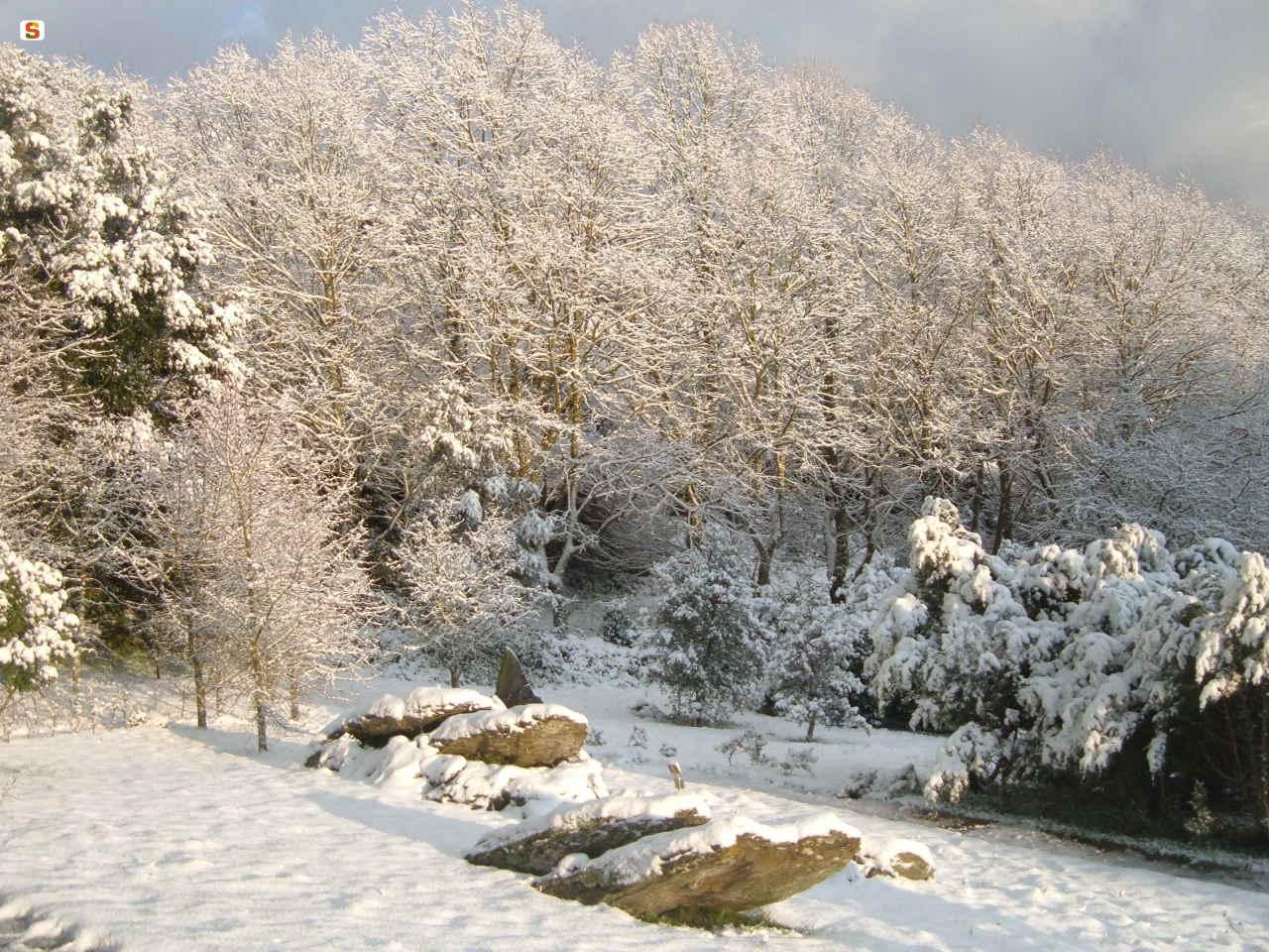
THE MARGANAI FOREST
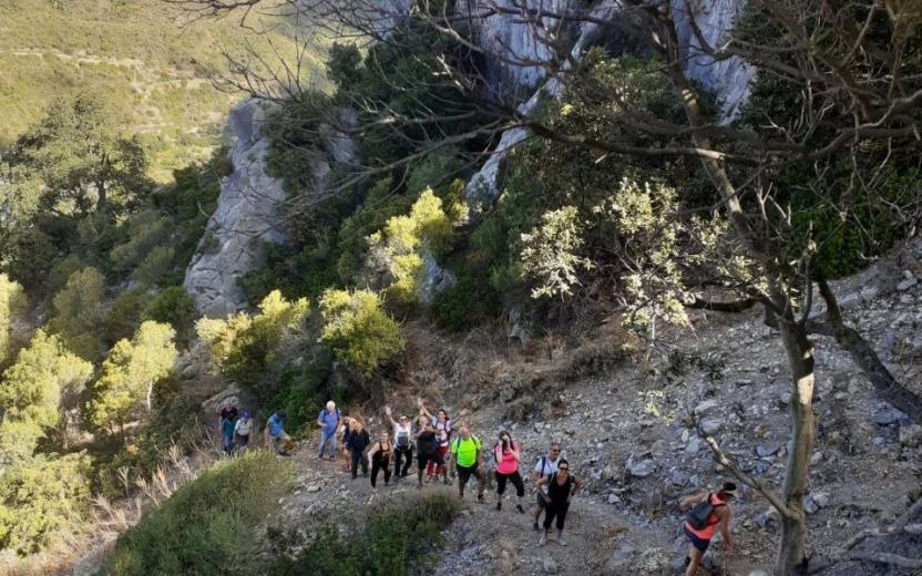
The network of trails of the Marganai State-owned Forest , meanwhile, offer visitors unique scenery. The crags and cliffs have taken on bizarre colours and shapes, attracting climbing enthusiasts. These places are EU-recognised habitats defined as "calcareous rocky slopes" (code 8210).
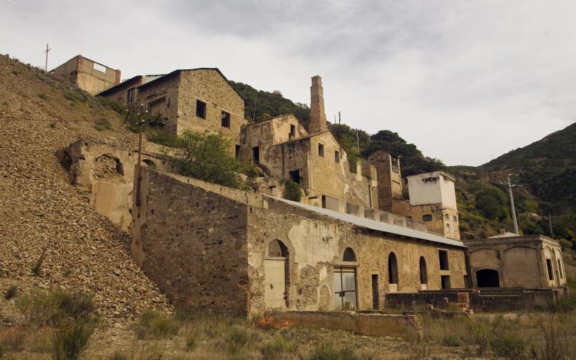
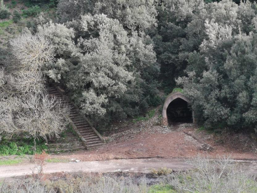
Heights include the peaks of Punta S.Michele (906 m a.s.l.), Punta Campu Spina (939 m a.s.l.), Punta Nebidedda (825m above sea level), Punta de Tinnì (739 m a.s.l.) the latter characterised by spectacular granite blocks where you may spot grazing mouflons. A particular feature of this Site of Community Importance (S.I.C.) is a landscape marked by centuries of human activity, especially mining. The mines of sa Duchess, Malacalzetta and Arenas are just a few important examples of industrial archaeology.