Planedda - Genna Arramene (B 536)
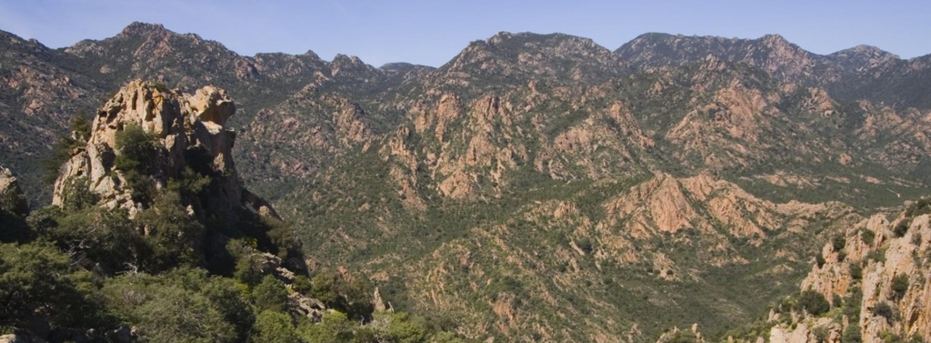
Image credits Sardegna Digital Library
The pathway
Roadbook
The path starts from the Planedda area (440 m a.s.l.) and for the first 1000 meters, it descends along a dirt track with an average gradient of less than 10-15%. After about 600 meters, upstream from the track, you'll find a bioengineering structure (a staked wall) that stabilizes the slope.
At the end of this section, in the Funtana s'Argentina area (415 m.s.l.m.), there is a rest area shaded by a holm oak forest. Continuing on, the trail joins a mule track that, after about 300 meters, leads to an archaeological site where you can admire the Loppelie Nuraghe.
Near this archaeological area, there is another rest stop. Once you've passed the archaeological site, the trail continues for about 200 meters on the mule track and then proceeds onto a dirt road with an average gradient of less than 10% for about 1.2 km, until you reach the Coile Su Accu Mannu area (450 m.a.s.l.).
From Coile Su Accu Mannu, the path continues on a mule track that ascends the slope with an average gradient of 15-20% for approximately 600 meters, until it reaches the intersection with trail no. 533 (Genna Arramene - Genna Salbene). In this area, at Genna Arramene (581 meters above sea level), there is a rest stop, and the route ends.
Trail data and altimetry

Photogallery
Baunei panorama
Mascia DanielaSardegna Digital Library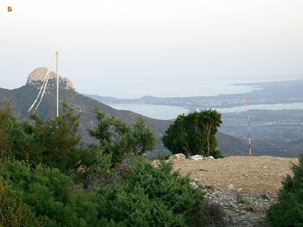
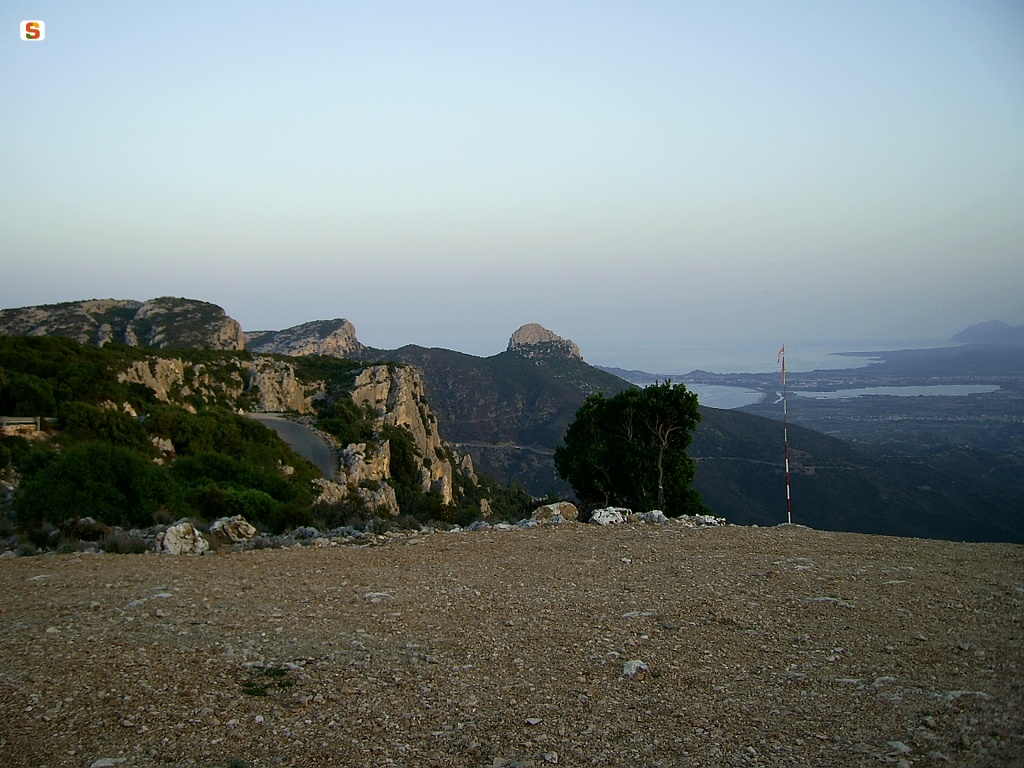
Baunei panorama
Mascia DanielaSardegna Digital Library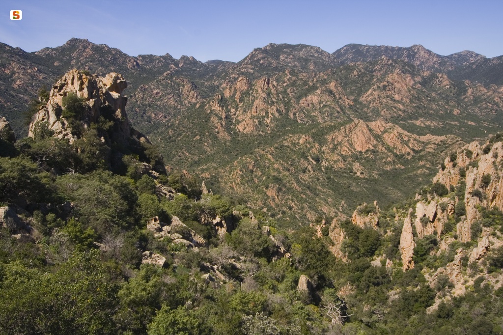
Baunei panorama
Ruiu DomenicoSardegna Digital Library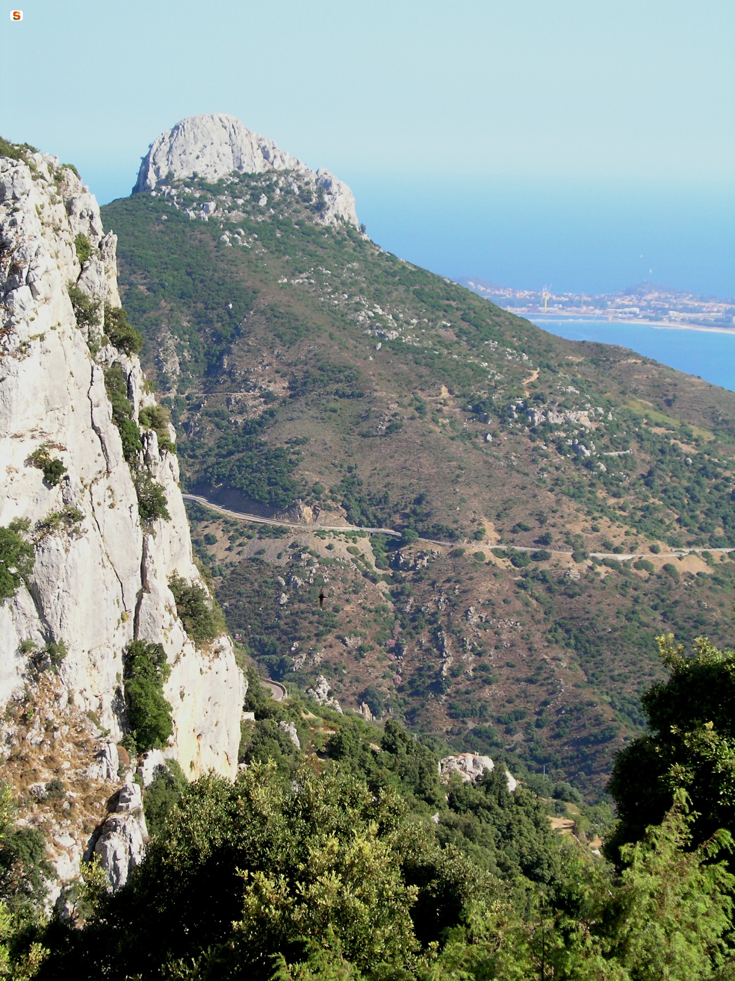
Baunei panorama
Piscedda OdiliaSardegna Digital LibraryDownload trail documentation
Opinions
No reviews yet for this path
