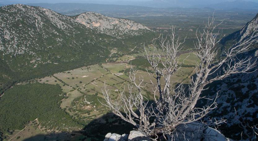
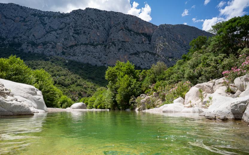
Iscala 'e Surtana - Flumineddu (B 486)
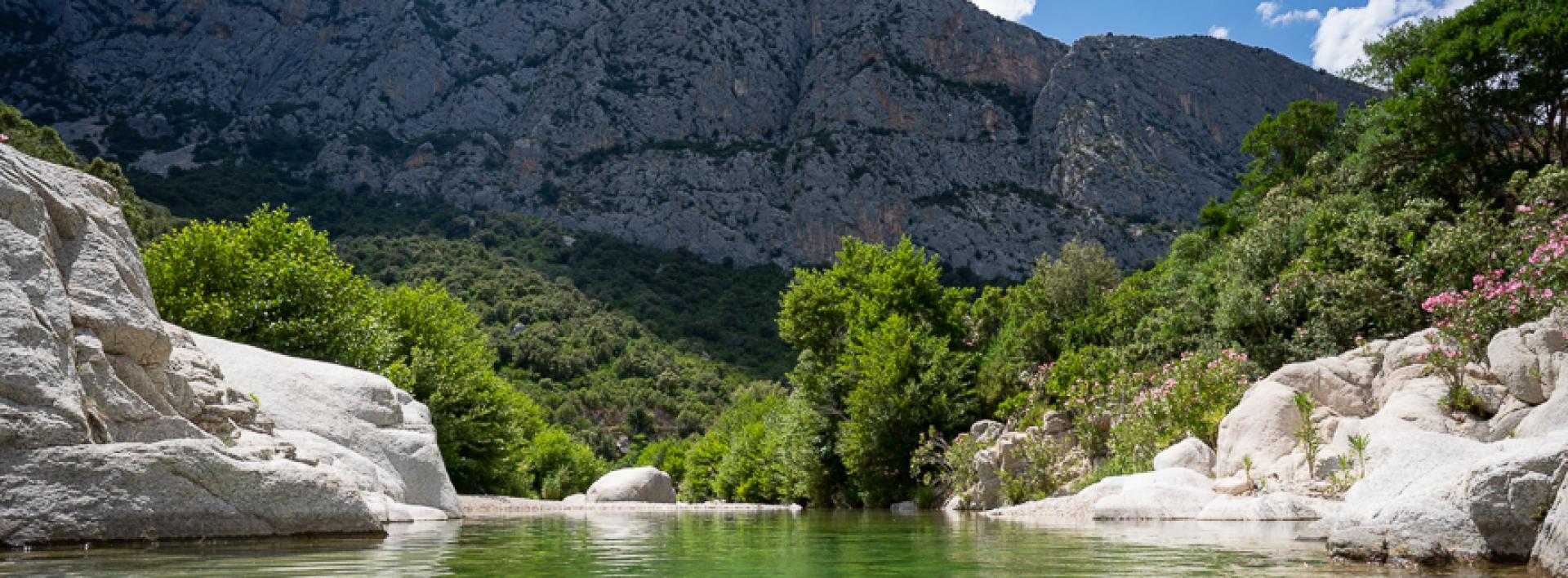
Image credits Agenzia Forestas
The pathway
Trail data and altimetry

Download trail documentation
Related pathways
Skip Pathways slider and jump to the next section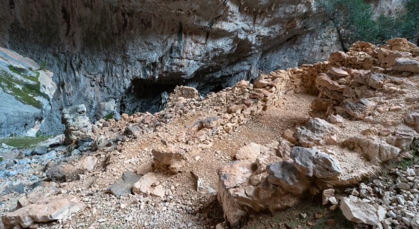
Pathways S'Abba Arva - Tiscali (B 481)
Pathways Iscacari - S'Aliderru (B 489)
Related itineraries
Skip the Related itineraries slider and jump to the next section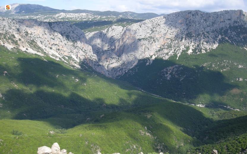
Opinions
No reviews yet for this path
