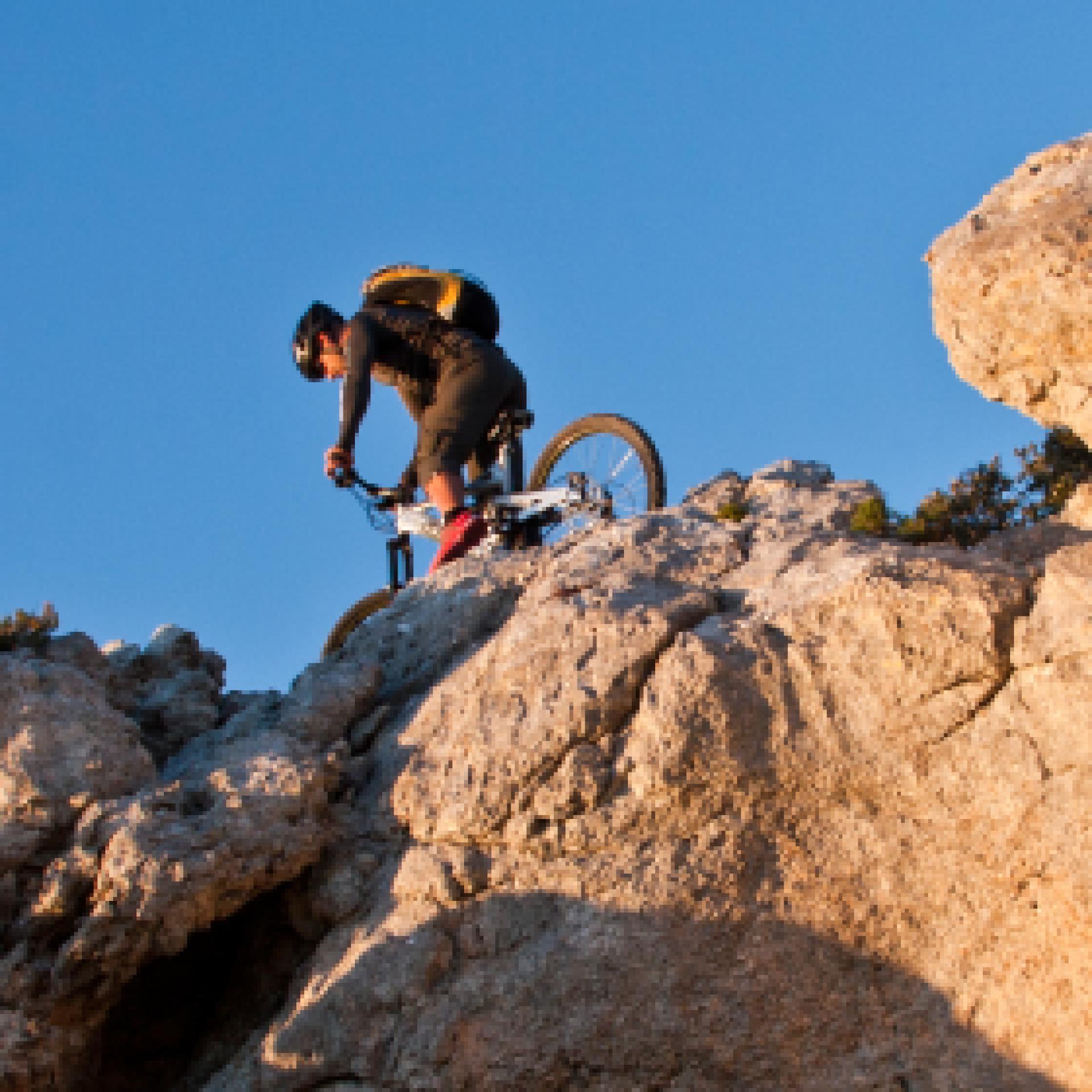
Mountain Bike
Le varie categorie del mountain biking ne fanno un universo a sé stante nel campo del turismo attivo: cross country, all mountain, enduro e freeride, downhill e bike orienteering...possono essere praticati quasi ovunque, ma la maggior parte dei biker pedalano fuoristrada, lungo sentieri di campagna, piste forestali o singletrack (creati e mantenuti principalmente dal passaggio). Gruppi sociali più o meno formalizzati sono frequenti, specialmente nelle uscite più lunghe...
Results
Pathways Genna e Contu - Sarcerei (T-120)
Pathways Genna 'e Contu - Sarcerei (T 120)
Tiana, la gualchiera. Waterways
Access
From the centre of Tiana, continue in the direction of Tonara on the SS 128, slightly downhill and high above the wooded valley. You soon reach a small rocky lay-by where, on the right, you will find the signs for reaching the Gualchiera, sa cracchera de tziu Bellu, which is today a museum of industrial archaeology.
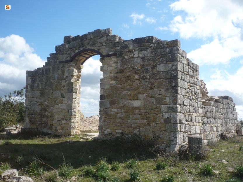
La Gualchiera - The Fullers
Tiana is the symbolic village of orbace (rough wool), the fabric obtained by a mechanical process of felting wool. For the energy required in this proto-industrial process, there were the Fullers, structures similar to hydraulic mills that used by the power of water to drive the machinery. The one in Tiana has been beautifully restored, unique among the many once present in the area, and is located in an area surrounded by greenery, on the terraces suspended around the Tino stream at the point it merges with the Torrei. It can be visited only by appointment.
Il Rio Torrei - The Torrei Stream
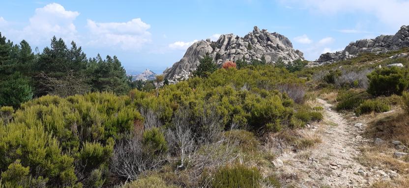
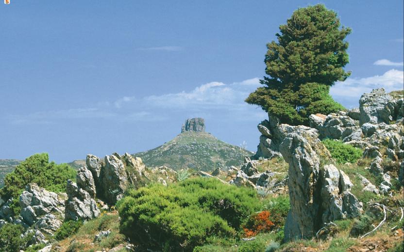
Once you have visited the river, you can continue along a short nature trail along the hazel groves bordering the river, or take a route through the heart of the area. You then return to route 128 for a few hundred metres where, before a bridge turn left onto a cobbled road and then a dirt road, following the signs for the Ospitone path. The road runs along the hydrographic right bank of the Rio Torrei, in a mountainous environment, overhung by large rocks and often flanked by dense woodland. On the right, some rocks allow splendid panoramic views of the surroundings.
The Path
As you continue, you gain altitude, temporarily moving away from the river bed and then returning to it near a spring. The road becomes a narrow path that cuts through the vegetation, immersed in a beautiful forest broken only by sudden scree and rocks. At an altitude of 750 metres, you come to a ford on the right, after which you follow a dirt road uphill that soon leads back to the asphalt road serving the dam on the Rio Torrei, located a few kilometres further upstream. From here it is possible to retrace your steps or, especially if equipped with a mountain bike, to return by road to the village, taking a right and then another right once one reaches the public road.
Tipologia itinerario
- Log in to post comments
Photogallery
Tiana, la gualchiera. Le vie dell’acqua
Accesso
Dal centro abitato di Tiana si prosegue in direzione Tonara sulla SS 128, in lieve discesa e alti sopra la vallata boscosa. In breve si raggiunge un piccolo slargo dove, sulla destra, si trovano le indicazioni per raggiungere la Gualchiera, sa cracchera de tziu Bellu, oggi un museo di archeologia industriale.
La Gualchiera
Tiana è il paese simbolo dell’orbace, il tessuto ottenuto con un procedimento meccanico grazie all’infeltrimento della lana. Per l’energia richiesta in questo processo proto-industriale esistevano le Gualchiere, strutture simili ai mulini idraulici che utilizzavano la forza dei torrenti per il funzionamento dei macchinari. Quella di Tiana è stata splendidamente restaurata, unica tra la molte presenti un tempo nella zona e si trova in un’area immersa nel verde, sulle terrazze sospese intorno al torrente Tino presso la conlfuenza col Torrei. Si può visitare previo appuntamento.
Il rio Torrei
Una volta effettuata la visita si può proseguire per un breve sentiero naturalistico lungo i noccioleti che costeggiano il fiume, oppure proseguire per un itinerario nel cuore del territorio. Si riprende quindi la 128 per poche centinaia di metri dove, prima di un ponte, si prende a sinistra per una strada selciata e poi sterrata, seguendo le indicazioni per il cammino di Ospitone. La strada si inoltra sul fianco destro idrografico del Rio Torrei, in ambiente montano, sovrastata da grossi rocciai e affiancata spesso da un bosco fitto. Sulla destra, alcune rocce permettono splendide viste panoramiche d’intorno.
Il sentiero
Man mano che si prosegue si guadagna quota, allontanandosi temporaneamente dal greto del torrente e poi ritornandovi nei pressi di una sorgente. La strada diviene uno stretto sentiero che fora la vegetazione, immerso in un bel bosco rotto soltanto da improvvisi ghiaioni e rocciai. Giunti a quota 750 si incontra, sulla destra, un guado, superato il quale si percorre una strada sterrata in salita che in breve riconduce alla strada asfaltata che serve la diga sul Rio Torrei, posta qualche km più a monte. Da qui è possibile tornare sui propri passi oppure, soprattutto se muniti di una mountain bike, ritornare via strada al paese prendendo a destra e poi nuovamente a destra una volta giunti alla statale.
Tipologia itinerario
- Log in to post comments