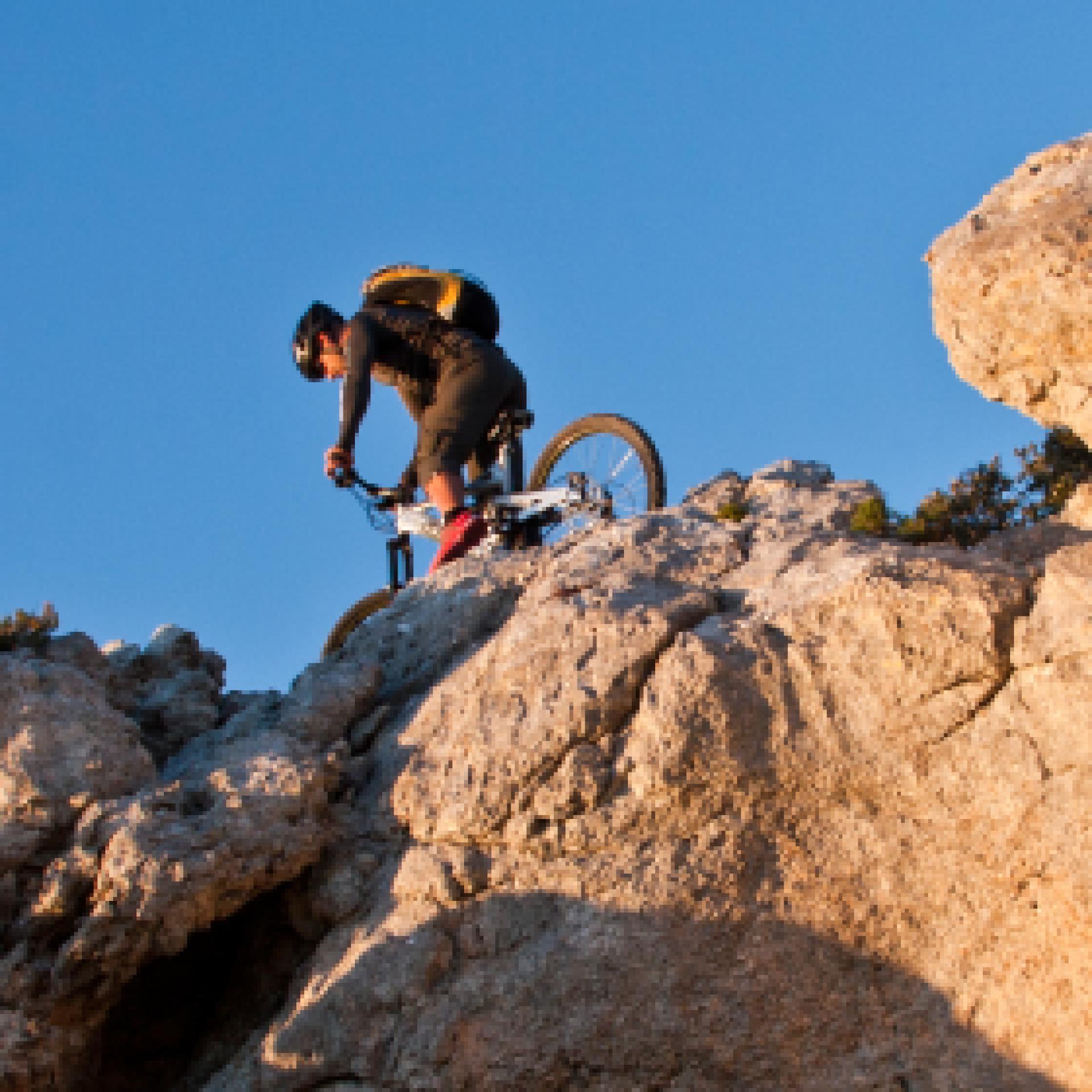
Mountain Bike
Le varie categorie del mountain biking ne fanno un universo a sé stante nel campo del turismo attivo: cross country, all mountain, enduro e freeride, downhill e bike orienteering...possono essere praticati quasi ovunque, ma la maggior parte dei biker pedalano fuoristrada, lungo sentieri di campagna, piste forestali o singletrack (creati e mantenuti principalmente dal passaggio). Gruppi sociali più o meno formalizzati sono frequenti, specialmente nelle uscite più lunghe...
Results
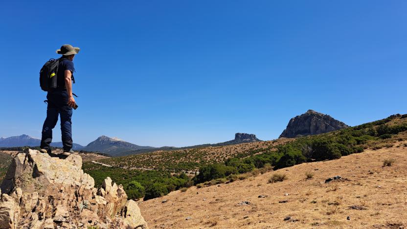
Pathways Girgini (T-700)
Pathways Girgini (T-700)
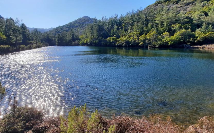
Ortueri, Mui Muscas. The kingdom of the donkeys
Access
The easy tourist itinerary that visits the Mui Muscas oasis consists of a convenient track to be cycled, on easy dirt tracks, asphalted stretches and little traffic. From the village, take the SS388, leaving the village and encountering, immediately after the last houses, the signs for the nature oasis, where ecursions and a viewpoint are signposted. You continue along the asphalt road, always following the signs and begin to climb a scenic hill, flanked by a beautiful cork oak forest and scrub with heather and artubus trees.
Mui Muscas
When the slope ends, you find yourself in the Mui Muscas area, surrounded by the beautiful municipal park that occupies a large area of cork oak or sparse reforestation. You reach some structures currently awaiting management. On the right, after opening and closing a gate for pedestrian transit, where some picnic areas could be reached in the woods. Instead, turn left immediately before the structures, following a dirt road. On the right of the road, a gate allows access to the Parco degli Asinelli (Donkley Park), one of the most extraordinary attractions in this area.
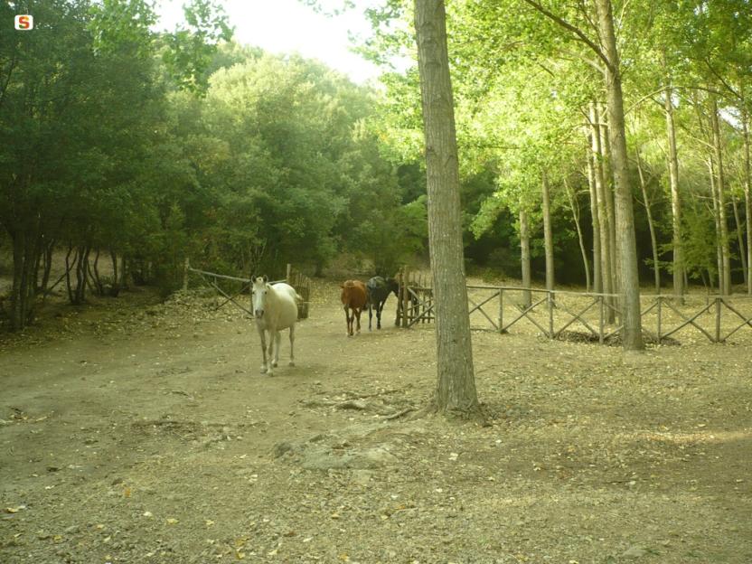
The Donkeys
The Donkey Park was created in the mid-1990s to preserve the pure Sardinian breed, characterised by its grey coat, the obvious black cross on its rump and a particularly petite size. Today the beautiful forest is home to just over fifty specimens and where there have been numerous collaborations and genetic and veterinary studies undertaken. You return to the dirt track, continuing in a north-westerly direction and gradually beginning to descend, always following the more defined road. At a large fork, you keep to the left, climbing slightly up a small hill and then descending again to a fork where you find the tarmac road again. Following it to the left, you soon return to the village.
Tipologia itinerario
- Log in to post comments
Photogallery
Ortueri, Mui Muscas. Il regno degli asinelli
Accesso
Il facile itinerario turistico che visita l’oasi di Mui Muscas si compone di un comodo anello da percorrere in bicicletta su facili sterrate e tratti asfaltati con scarso traffico.
Dal paese si prende la SS388, uscendo dal paese ed incontrando, subito dopo le ultime case, le indicazioni per l’oasi naturalistica, dove sono segnalate escursioni e un punto panoramico.
Si prosegue su strada asfaltata, seguendo sempre le indicazioni e cominciando a salire su una collina panoramica, affiancati da una bella sughereta e da una macchia evoluta ad erica e corbezzoli.
Mui Muscas
Quando la pendenza termina ci si trova nella zona di Mui Muscas, circondati dal bel parco comunale che occupa una vasta area a sugherete o a scarsi rimboschimenti. Si raggiungono alcune strutture attualmente in attesa di gestione: sulla destra, aperto e richiuso un cancello per il transito pedonale, sarebbero raggiungibili nel bosco alcune aree pic nic.
Si prende invece a sinistra subito prima delle strutture, percorrendo una strada sterrata. Sulla destra della strada, un cancello permette l’accesso al Parco degli Asinelli, una delle attrazioni più straordinarie di questa zona.
Gli asinelli
Il Parco degli Asinelli è nato a metà degli anni ‘90 per preservare la pura razza sarda, caratterizzata dal manto grigio, l’evidente croce nera sul groppone e da una taglia particolarmente minuta. Oggi il bel bosco ospita poco più di cinquanta esemplari e sono state attivate numerose collaborazioni e studi genetici e veterinari.
Si ritorna sulla sterrata, proseguendo ancora in direzione nordovest e cominciando gradualmente a scendere, seguendo sempre la strada maggiormente evidente. Giunti ad un grosso bivio si tiene la sinistra, salendo leggermente su un piccolo colle e poi scendendo ancora fino a un bivio dove si ritrova la strada asfaltata.
Seguendola a sinistra si torna presto al paese
Tipologia itinerario
- Log in to post comments