Start website main content

Nordic Walking

51 pathways

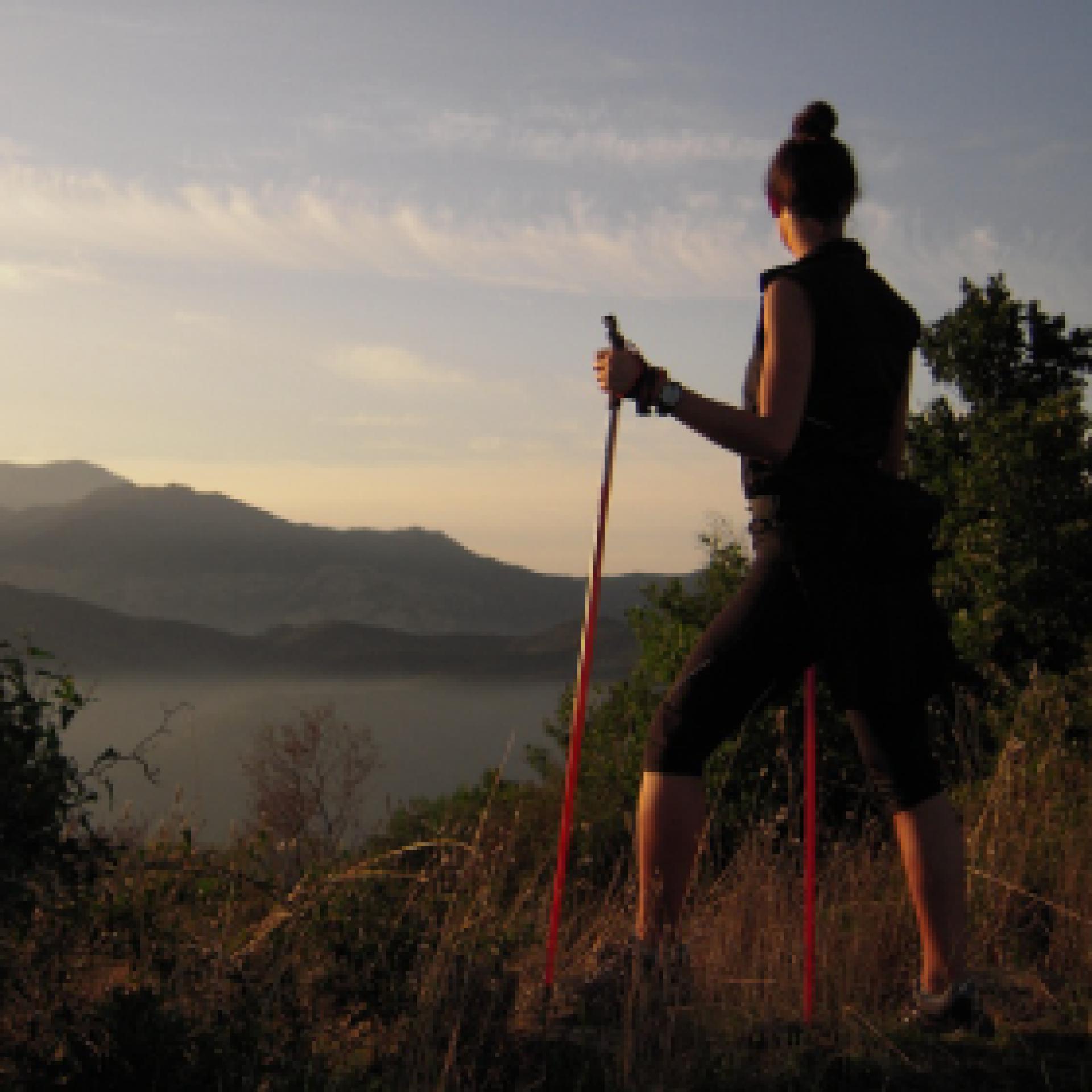
La camminata nordica o camminata con bastoni (in inglese nordic walking o pole walking) è attività fisica e sportiva che ben si coniuga con percorsi in bosco, in pianura o in vallate, lungo scogliere o spiagge.  La Rete dei sentieri della Sardegna offre tantissime occasioni per cimentarsi nella camminata nordica... 

Nordic-walking.png

Results

Ortueri, GAL BMG itinerary arrival point

GAL BMG itinerary arrival point

How to get here

Having reached the Donkey Park, you return to the dirt road, continuing northwest and gradually starting to descend, always following the most obvious path. When you reach a large fork, keep left, ascending slightly onto a small hill and then descending again to a fork where you rejoin the paved road. Following it to the left, you will soon return to the village.

Route location centro abitato

Rifugio, presidi abitati

Geographical area Guilcer-Barigadu-Mandrolisai

Ortueri, arrivo itinerario del GAL BMG

Punto di arrivo dell'itinerario del GAL BMG

How to get here

Raggiunto il Parco degli Asinelli si ritorna sulla sterrata, proseguendo ancora in direzione nordovest e cominciando gradualmente a scendere, seguendo sempre la strada maggiormente evidente. Giunti ad un grosso bivio si tiene la sinistra, salendo leggermente su un piccolo colle e poi scendendo ancora fino a un bivio dove si ritrova la strada asfaltata. Seguendola a sinistra si torna presto al paese

Route location centro abitato

Rifugio, presidi abitati

Geographical area Guilcer-Barigadu-Mandrolisai

Ortueri, Mui Muscas. The kingdom of the donkeys

Access 

The easy tourist itinerary that visits the Mui Muscas oasis consists of a convenient track to be cycled, on easy dirt tracks, asphalted stretches and little traffic. From the village, take the SS388, leaving the village and encountering, immediately after the last houses, the signs for the nature oasis, where ecursions and a viewpoint are signposted. You continue along the asphalt road, always following the signs and begin to climb a scenic hill, flanked by a beautiful cork oak forest and scrub with heather and artubus trees. 

Mui Muscas 

When the slope ends, you find yourself in the Mui Muscas area, surrounded by the beautiful municipal park that occupies a large area of cork oak or sparse reforestation. You reach some structures currently awaiting management. On the right, after opening and closing a gate for pedestrian transit, where some picnic areas could be reached in the woods. Instead, turn left immediately before the structures, following a dirt road. On the right of the road, a gate allows access to the Parco degli Asinelli (Donkley Park), one of the most extraordinary attractions in this area. 

The Donkeys 

The Donkey Park was created in the mid-1990s to preserve the pure Sardinian breed, characterised by its grey coat, the obvious black cross on its rump and a particularly petite size. Today the beautiful forest is home to just over fifty specimens and where there have been numerous collaborations and genetic and veterinary studies undertaken. You return to the dirt track, continuing in a north-westerly direction and gradually beginning to descend, always following the more defined road. At a large fork, you keep to the left, climbing slightly up a small hill and then descending again to a fork where you find the tarmac road again. Following it to the left, you soon return to the village.

Lenght 7.700 m

ortueri.gpx

Total elevation gain 235 metri

Ortueri, Mui Muscas. Il regno degli asinelli

Accesso 

Il facile itinerario turistico che visita l’oasi di Mui Muscas si compone di un comodo anello da percorrere in bicicletta su facili sterrate e tratti asfaltati con scarso traffico. 

Dal paese si prende la SS388, uscendo dal paese ed incontrando, subito dopo le ultime case, le indicazioni per l’oasi naturalistica, dove sono segnalate escursioni e un punto panoramico. 

Si prosegue su strada asfaltata, seguendo sempre le indicazioni e cominciando a salire su una collina panoramica, affiancati da una bella sughereta e da una macchia evoluta ad erica e corbezzoli

Mui Muscas 

Quando la pendenza termina ci si trova nella zona di Mui Muscas, circondati dal bel parco comunale che occupa una vasta area a sugherete o a scarsi rimboschimenti. Si raggiungono alcune strutture attualmente in attesa di gestione: sulla destra, aperto e richiuso un cancello per il transito pedonale, sarebbero raggiungibili nel bosco alcune aree pic nic

Si prende invece a sinistra subito prima delle strutture, percorrendo una strada sterrata. Sulla destra della strada, un cancello permette l’accesso al Parco degli Asinelli, una delle attrazioni più straordinarie di questa zona. 

Gli asinelli 

Il Parco degli Asinelli è nato a metà degli anni ‘90 per preservare la pura razza sarda, caratterizzata dal manto grigio, l’evidente croce nera sul groppone e da una taglia particolarmente minuta. Oggi il bel bosco ospita poco più di cinquanta esemplari e sono state attivate numerose collaborazioni e studi genetici e veterinari. 

Si ritorna sulla sterrata, proseguendo ancora in direzione nordovest e cominciando gradualmente a scendere, seguendo sempre la strada maggiormente evidente. Giunti ad un grosso bivio si tiene la sinistra, salendo leggermente su un piccolo colle e poi scendendo ancora fino a un bivio dove si ritrova la strada asfaltata. 

Seguendola a sinistra si torna presto al paese
Lenght 7.700 m

ortueri.gpx

Total elevation gain 235 metri

Ovodda town, GAL BMG itinerary starting point

GAL BMG itinerary starting point

How to get here

From Ovodda town, take Via Gennargentu, winding through the narrow alleys of the centre, then leave the town heading uphill on an tarmac road. After passing a fork that leads back to State road SS128, you will pass a hardware store to your left. Right after, the road is framed by a beautiful hazelnut grove and by the wood. Continue uphill on the tarmac road, passing a small artificial lake on the right. At the next fork, take a left uphill, following the signs for the Badu ’e Fonne agritourism farm, then continue straight on to the next crossroads, at the Badu ’e Fonne locality, passing the agritourism farm on your right.

Route location centro abitato

Rifugio, presidi abitati

Abitato di Ovodda, partenza itinerario del GAL BMG

Punto di partenza dell'itinerario del GAL BMG

How to get here

Dall’abitato di Ovodda si prende la Via Gennargentu, inoltrandosi nei vicoli stretti del centro, uscendo poi dal paese in salita su una strada asfaltata. Superato un bivio che riporta alla SS128 si tiene a sinistra un ferramenta e la strada viene subito affiancata da un bel noccioleto e dal bosco. Si prosegue in salita proseguendo sempre su asfalto, tenendo sulla destra un piccolo invaso. Al bivio successivo si prende a sinistra in salita, seguendo le indicazioni per l’agriturismo Badu ‘e Fonne, proseguendo poi dritti al quadrivio successivo, proprio in località Badu ‘e Fonne, lasciando a destra dopo pochi metri l’omonimo agriturismo.

Route location centro abitato

Rifugio, presidi abitati

Ovodda, Mihinari. A privileged view

Access

From the village of Ovodda, take Via Gennargentu, entering the narrow alleyways of the centre and then leaving the village uphill on an asphalt road. Having passed a fork in the road that leads back to the SS128, a hardware store is located to the left and the road is immediately flanked by a beautiful hazel grove and woodland. Continue uphill on asphalt, keeping a small reservoir on the right. At the next crossroads, take a left uphill, following the signs for the Badu 'e Fonne agritourism, then continue straight on at the next crossroads, right at the Badu 'e Fonne locality, leaving the agriturismo of the same name on the right after a few metres. 

The wood 

At Badu 'e Fonne it is necessary to leave the car and continue on foot. Next to the agriturismo, the road makes a sharp climb on a cemented surface and then continues with gentle ups and downs, immersed in dense woodland, a paradise for mushroom foragers. A short descent leads to a widening where there is a characteristic crossroads with three roads, in the locality of Godditorzu. Hhere you go straight ahead, passing an isolated electricity pole. The dirt road soon becomes a cart track and begins to climb steeply in a magnificent forest, in which young holm oaks and downy oaks stand out in particular, interspersed with heather and sporadic hollies. 

Mihinari 

Take a right at the next crossroads, always keeping to what appears to be the main road and juggling the numerous forks in the road. The ascent is the only certain direction: as one gains height, one appreciates small openings in the vegetation that allow splendid shots of the Barbagia di Ollolai. A twisted oak tree is a sign that you are on the right track and a last uphill climb leads you out of the woods. The bare summit of Mihinari is preceded by the scent of thyme and, in spring, by colourful blooms, including the rare Armeria gennargentea. From the rounded peak of the relief, the panorama is superb and sweeps along the entire horizon, dominating the Gennargentu, all the Taloro and Aratu valleys, the distant Supramonte and remote western reliefs. At the foot of the mountain, the steep Rio Torrei valley with its small reservoir. Satiated with the panorama, one faces the return route via the passes already travelled.

Lenght 13.600 m

ovodda.gpx

Total elevation gain 641 metri

Ovodda, Mihinari. Una vista privilegiata

Accesso 

Dall’abitato di Ovodda si prende la Via Gennargentu, inoltrandosi nei vicoli stretti del centro, uscendo poi dal paese in salita su una strada asfaltata. Superato un bivio che riporta alla SS128 si tiene a sinistra un ferramenta e la strada viene subito affiancata da un bel noccioleto e dal bosco

Si prosegue in salita proseguendo sempre su asfalto, tenendo sulla destra un piccolo invaso. Al bivio successivo si prende a sinistra in salita, seguendo le indicazioni per l’agriturismo Badu ‘e Fonne, proseguendo poi dritti al quadrivio successivo, proprio in località Badu ‘e Fonne, lasciando a destra dopo pochi metri l’omonimo agriturismo. 

Il bosco 

A Badu ‘e Fonne bisogna lasciare l’auto e proseguire a piedi. Accanto all’agriturismo la strada compie una decisa salita su fondo cementato e poi prosegue con dolci saliscendi, immersa in bosco fitto e denso di specie arboree, paradiso dei cercatori di funghi. 

Una breve discesa porta ad uno slargo dove si trova un caratteristico incrocio con tre strade, in località Godditorzu: qui si va dritti, superando un isolato palo dell’elettricità. La strada sterrata diviene ben presto una carraia e prende a salire ripida in un bosco magnifico, nel quale si distinguono specialmente lecci giovani e roverelle, inframmezzate da erica e sporadici agrifogli

Mihinari 

Si prende a destra all’incrocio successivo, tenendo sempre quella che pare essere la carraia principale e destreggiandosi nei numerosi bivi. La salita è l’unica direzione certa: man mano che si prende quota si apprezzano piccoli varchi nella vegetazione che permettono splendide inquadrature sulla Barbagia di Ollolai. Una annosa e contorta roverella è il segnale che si procede sulla strada giusta e un ultimo strappo in salita porta ad uscire dal bosco. La spoglia vetta di Mihinari è preceduta dal profumo del timo e, in primavera, dalle variopinte fioriture, tra cui la rara Armeria gennargentea. Dalla cima stondata del rilievo il panorama è superbo e spazia lungo tutto l’orizzonte dominando il Gennargentu, tutte le vallate del Taloro e di Aratu, il lontano Supramonte ed remoti rilievi occidentali. Ai piedi della montagna, lo scosceso vallone del Rio Torrei col suo piccolo invaso. 

Sazi del panorama, si affronta la strada del ritorno per i passi già percorsi.

Lenght 13.600 m

ovodda.gpx

Total elevation gain 641 metri

Sarule town, GAL BMG itinerary starting point

GAL BMG itinerary starting point

How to get here

From the town center of Sarule, follow the signs towards the town's cemetery, then continue on the main road until you reach a clear intersection dominated by the three pointed peaks of Monte Gonare. Turn left, following the signs for the mountain, and continue uphill on the asphalt road to the next intersection, where you keep right, driving a few hundred meters more and parking in a large open space where the road ends, near some buildings that serve as shelters for the novenanti during the festivities.

Route location centro abitato

Rifugio, presidi abitati