Start website main content

Nordic Walking

51 pathways

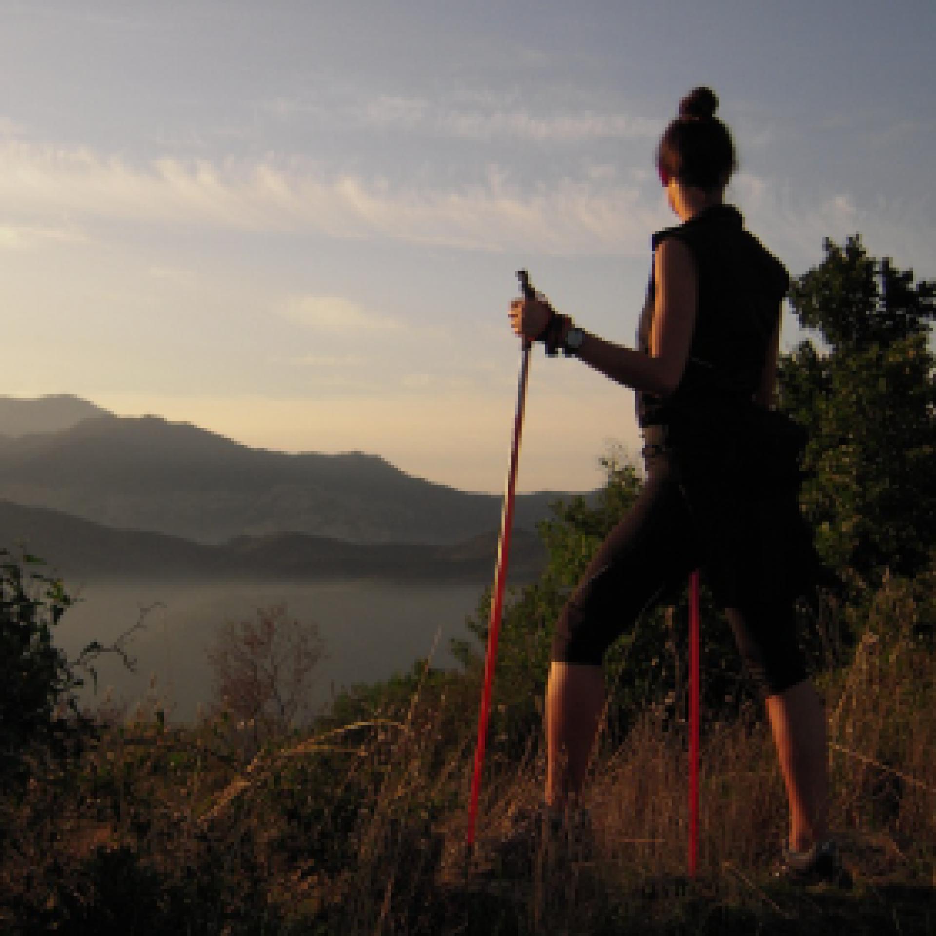
La camminata nordica o camminata con bastoni (in inglese nordic walking o pole walking) è attività fisica e sportiva che ben si coniuga con percorsi in bosco, in pianura o in vallate, lungo scogliere o spiagge.  La Rete dei sentieri della Sardegna offre tantissime occasioni per cimentarsi nella camminata nordica... 

Nordic-walking.png

Results

Austis, Sa Crabarissa, end point of the GAL BMG route

Start point of the GAL BMG route.

How to get here

You will reach a large dirt clearing. Park your car and, keeping Bortamelone behind you, turn right onto a clearly visible trail that heads towards the imposing rocky pinnacle of Sa Crabarissa.
The rock is set in an extraordinary natural setting and is reached via a beautiful path. It stands on the path’s left hand side.
 

Route location Monumento naturale

Rifugio, presidi abitati

Geographical area Barbagia Gennargentu

Austis, Sa Crabarissa, arrivo itinerario GAL BMG

Punto di partenza dell'itinerario del GAL BMG

How to get here

Si raggiunge un vasto spiazzo sterrato, tenendo alle spalle Bortamelone e dopo aver parcheggiato si prende a destra per un sentiero evidente che si dirige verso la sagoma slanciata ed elegante di Sa Crabarissa.
La roccia è posta in un contesto ambientale straordinario e si raggiunge per il bel sentiero, tenendola sulla sinistra.
 

Route location Monumento naturale

Rifugio, presidi abitati

Geographical area Barbagia Gennargentu

Austis, Sa Crabarissa. The rock of legend

Access 

From the village, follow the signs for Sa Crabarissa, following Via Gramsci, which soon turns into a country lane. you leave the beautiful sanctuary of S. Antonio on the right, still on an asphalted road, descending slightly to an obvious fork where you turn left, still following the signs. 

Bortamelone 

The area is overlooked by the gentle prominence of Monte Bortamelone, recognisable by its impressive reforestation. The road runs between pastures and scrubland. On the left is the rock of Nodu Pertuntu, not signposted, with its characteristic perforated summit. You continue along the main road, surrounded by arbutus trees, until the asphalt ends and the road proceeds, unpaved, always in excellent condition and slightly downhill, and now very scenic. 

Sa Crabarissa 

You reach a wide dirt clearing, keeping Bortamelone behind you, and after parking, take a right onto an clear path that heads toward the soaring, elegant silhouette of Sa Crabarissa. This extraordinary natural monument owes its name to a legend: a woman from Cabras (a crabarissa) who fell in love with a shepherd from Austis who was in her village for transhumance. The two swore eternal love to each other, but when she went to visit him, she discovered that he was already married and had a family. The girl went back, but the terrible pain turned her into stone: her form still resembles that of a girl from Cabras in typical costume. The rock is set in an extraordinary environmental context and can be reached along the beautiful path, keeping to the left. 

Ring in the bush 

Continue along the path, with a little slope, spotting a fork on the right that, once taken, leads uphill to a small artificial lake. Here, turn right onto a dirt track, still keeping to the right and returning to the car in a short time.

Lenght 19.500 m

austis.gpx

Total elevation gain 511 metri

Austis, Sa Crabarissa La roccia della leggenda

Accesso

Dall’abitato si seguono le indicazioni per Sa Crabarissa, percorrendo la via Gramsci che si tramuta ben presto in un viottolo di campagna. Si lascia a destra il bel santuario di S. Antonio, sempre su strada asfaltata, scendendo leggermente fino ad un bivio evidente dove si prende a sinistra, sempre seguendo le indicazioni.

Bortamelone

La zona è dominata dal morbido rilievo del Monte Bortamelone, riconoscibile dagli imponenti rimboschimenti. La strada corre tra pascoli e zone a macchia. Sulla sinistra si cela la roccia di Nodu Pertuntu, non segnalata, dalla caratteristica sommità forata.
Si prosegue sempre sulla strada principale, circondati dai corbezzoli, finché l’asfalto termina e la strada procede, sterrata, sempre in ottime condizioni e in leggera discesa, ora molto panoramica.

Sa Crabarissa

Si raggiunge un vasto spiazzo sterrato, tenendo alle spalle Bortamelone e dopo aver parcheggiato si prende a destra per un sentiero evidente che si dirige verso la sagoma slanciata ed elegante di Sa Crabarissa.
Questo straordinario monumento naturale deve il suo nome ad una leggenda: una donna di Cabras (una crabarissa) si innamorò di un pastore di Austis che si trovava nel paese di lei per la transumanza. I due si giurarono eterno amore ma, quando lei andò a trovarlo, scoprì che lui era già sposato ed aveva una famiglia. La ragazza tornò indietro, ma il terribile dolore la tramutò in pietra: ancora le sue forme ricordano quelle di una ragazza di Cabras col tipico costume.

La roccia è posta in un contesto ambientale straordinario e si raggiunge per il bel sentiero, tenendola sulla sinistra.


Anello nella macchia

Si prosegue sul sentiero, con poche pendenze, individuando un bivio sulla destra che, una volta imboccato, porta in salita ad un piccolo laghetto artificiale. Qui si prende a destra, su sterrata, tenendo ancora la destra e ritornando in breve all’auto.

Lenght 19.500 m

austis.gpx

Total elevation gain 511 metri

Contiene carte
Spento

Belvì town, GAL BMG itinerary starting point

GAL BMG itinerary starting point
 

How to get here

From Belvì town, the excursion begins by reaching the square in front of the church, and from here, Via Marconi, where you descend slightly in altitude, then turn right onto a country path, indicated by a wooden sign pointing the way to some Domus de Janas.

You continue downhill, embraced by dense hazel groves that crowd the narrow road. This was once an important cart track, as indicated by the ancient paving stones and the care with which the dry stone walls that delimit it were built.

Route location centro abitato

Rifugio, presidi abitati

Geographical area Barbagia

Abitato di Belvì, partenza itinerario del GAL BMG

Punto di partenza dell'itinerario del GAL BMG

How to get here

Dal centro abitato di Belvì si inizia l’escursione raggiungendo la piazza antistante la chiesa e da qui la via Marconi, dove si scende leggermente di quota prendendo poi a destra per un viottolo di campagna, indicato da un cartello di legno che segnala la direzione per raggiungere alcune Domus de Janas.
Si prosegue in discesa, abbracciati da fitti noccioleti che ingombrano la stradina. Questa era in passato una importante carrareccia, come segnala l’antico selciato e la cura con cui erano realizzati i muretti a secco che la delimitano.

Route location centro abitato

Rifugio, presidi abitati

Geographical area Barbagia

Belvì, Pitzu ‘e Pranu, GAL BMG itinerary arrival point

GAL BMG itinerary arrival point

How to get here

"Along the trail, the final uphill stretch leads to a windswept, very panoramic saddle where a large intersection is located. Here, turn left, uphill, entering the reforestation area that occupies the summit of Pitzu ‘e Pranu, where an adventure park, now disused, had been built. The summit of the taccu (heel), as the name suggests, is occupied by a vast plateau where small depressions betray the presence of some sinkholes, attributable to the karst nature of the area. At the highest point, you reach a small statue of the Madonna, placed on the edge of the cliffs. From here, you literally dominate the town and the nearby village of Aritzo, allowing your gaze to wander as far as the Gennargentu massif and the wide surrounding valleys. Return to the town along the same path you took on the way up.

Route location Monumento naturale

Rifugio, presidi abitati

Geographical area Barbagia

Belvì, Pitzu ‘e Pranu, arrivo itinerario del GAL BMG

Punto di arrivo dell'itinerario del GAL BMG

How to get here

Lungo il sentiero,  l'ultimo tratto in salita porta a guadagnare una sella spazzata dai venti, assai panoramica, dove si trova un grosso incrocio. Qui si prende a sinistra, in salita, entrando nel rimboschimento che occupa la parte sommitale di Pitzu ‘e Pranu e sul quale era stato costruito un parco avventura, ora in disuso. La vetta del taccu, come suggerisce il nome, è occupata da un vasto pianoro dove piccole depressioni tradiscono la presenza di alcune voragini, imputabili alla natura carsica della zona. Nel punto più alto si raggiunge una madoninna, posta sull’orlo delle pareti. Qui si domina letteralmente il paese e quello vicino di Aritzo, lasciando lo sguardo spaziare fino al Gennargentu ed alle ampie vallate circostanti. Si ritorna al paese per il sentiero seguito all’andata.

Route location Monumento naturale

Rifugio, presidi abitati

Geographical area Barbagia

Belvì, Pitzu ‘e Pranu. Overlooking the valley

Access 

From the inhabited centre of Belvì, the excursion begins by reaching the square in front of the church and from here take Via Marconi, where you descend slightly downhill, then turning right along a country lane into the countryside, indicated by a wooden signpost that points the way to some domus de Janas. You continue downhill, embraced by thick hazel tree groves that clutter the small road. This was once an important cart-track, as indicated by the ancient paving and the care with which the dry-stone walls bordering it were built. 

Uphill 

You lose altitude until you reach a bridge that crosses a noisy stream, in the map as Riu Salasi. Looming over the area are the walls of Pitzu 'e Pranu, the destination of the itinerary, while to the right is the beautiful arched bridge of the railway along which the Trenino verde (The little green train) now travels. Having crossed the bridge, you keep to the right at the next fork and begin to climb rapidly between the various fenced allotments that occupy the valley. The cart-track is still very evident, albeit slightly more ruined: at the top of the climb you come out on asphalt, on the SP 61 bis. Here the cart track continued, but is now overgrown by brambles. 

Towards the summit 

You then turn left, travelling about 200 metres downhill on the main road and finding a dirt road that turns right, uphill, immediately meeting a fork with a wider dirt road where you turn right. You are now at altitude, skirting the walls of Pitzu 'e Pranu in a counter-clockwise direction. The road is flanked by some large wooden poles and has been built precisely on the geological discontinuity between the limestone that makes up the mountain above and the schists of the ancient basement on which one has walked so far. You flank some allotments and soon reach a crossroads with a paved road, where you take a left, uphill, surrounded by Holm oak forest. At the next hairpin bend, not far from the road, is a beautiful lime kiln, used for processing limestone. 

Pitzu ‘and Pranu 

A final uphill stretch leads to a windswept, very scenic saddle, where there is a large crossroads. Here, one turns left, uphill, entering the reforestation that occupies the summit of Pitzu 'e Pranu and on which an adventure park, now disused, was built. Vetta del taccu (limestone formation), as its name suggests, is occupied by a vast plateau where small depressions betray the presence of several chasms, attributable to the karstic nature of the area. At the highest point, you reach a Virgin Mary, statue located on the edge of the walls. Here one literally overlooks the village and the neighbouring village of Aritzo, letting one's gaze wander as far as the Gennargentu and the wide surrounding valleys. You return to the village along the path followed on the outward journey.

Lenght 5.900 m

belvi.gpx

Total elevation gain 269 metri