High routes
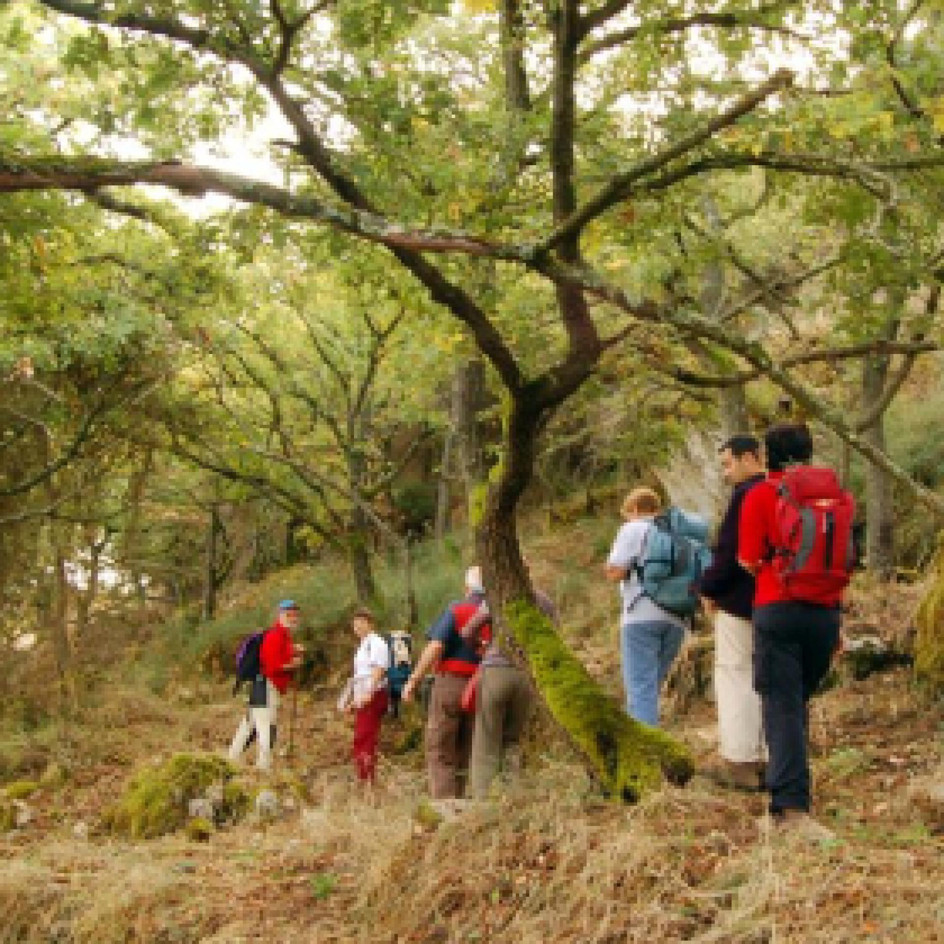
Pur senza cime particolarmente elevate, la Sardegna offre all'escursionista suggestivi itinerari oltre quota 1000 metri: si tratta di sentieri impegnativi, lungo crinali suggestivi attraverso le aree più selvagge dell'Isola, dove il panorama può cambiare drasticamente sui due versanti di una montagna. Orografia, geologia e lo storico isolamento rendono queste vette ricche di wilderness: con un po’ di fortuna potrai osservare mufloni e rapaci, scoprire lungo il percorso i ruderi di antichi villaggi, vecchi ovili e punti panoramici sorprendenti...

Results
Sentiero Italia (Stage Z09) Caserma Forestale Gianni Stuppa – Vecchia Cantoniera di Sant’Anna
Overview of the itinerary
Sentiero Italia runs the length of the island’s eastern side, covering its most important mountains, in 28 stages. Starting from the north: it flanks the Monte Limbara massif, crosses the limestones of Mont’Albo and Tuttavista, skirting the Gulf of Orosei, it crosses the Supramonte, Gennargentu and the Tacchi of Ogliastra and reaches Perdasdefogu. Further south, it passes through Armungia and the Gerrei sub-region. Lastly, it touches on the villages of Burcei and San Gregorio, continuing on the Sette Fratelli massif to the old prisons of Castiadas.
General information on Sentiero Italia (Grand Italian Trail)
Sentiero Italia, or Grand Italian Trail, as also explained on the official website, is a walking route that crosses the whole of Italy, using mainly but not exclusively “registered trails”.
In particular, in Sardinia, not all the stages of the Sentiero Italia of CAI (Italian Alpine Club) are made of trails already included in the registry of the Sardinia Trail Network (RES), either because they have not yet been tested and approved or simply because they cannot be registered as they do not meet the requirements. However, as a whole, the Sentiero Italia is the single longest walking route currently crossing Sardinia from the north (S. Teresa Gallura, stage Z 1) to the south (Castiadas, end of stage Z 28), touching on the most fascinating mountain areas in central-eastern Sardinia: the plateau of Buddusò, Tepilora, the Cedrino river valley, the ancient forests of Montes, Perda Liana and the regional forest of Montarbu, Monte Genis, and lastly the regional forest of Settefratelli (among the many crossed by the various stages of this long hiking itinerary).
Information on this stage of the trail
Athis fairly long leg of the trail crosses the Tepilora Park, starting on an easy dirt road leading to the slopes of Mount Tepilora, where it continues on paths and old mule tracks until it fords Rio Mannu. The trail then begins to climb fairly steeply, including a few stretches of blacktop road, reaching the highest part of the route, with an east-northeast direction and wide-ranging views of the countryside round Posada, Maccheronis Lake and the sea in the distance.
The route continues on a short stretch of provincial road, then on recently restored paths and stretches of forest track until it reaches S. Anna di Lodè, with elevations varying between 400 and 625 m asl.
This route offers expansive views and frequent freshwater springs, sparing hikers from having to carry a heavy load of water.
Notes
Note of 30/08/2021. At the Juanne Stuppa forest ranger station, it is currently only possible to stay pitching a tent. Along the trail, there is also a natural stop point suitable for pitching a tent. At the end of this leg of the trail, in the S. Anna di Lodè locality there are a few B&Bs.
- Log in to post comments
Photogallery
Sentiero Italia (Tappa Z09) Caserma Forestale Gianni Stuppa – Vecchia Cantoniera di Sant’Anna
In sintesi
Il Sentiero Italia attraversa in lunghezza il settore orientale dell’isola toccandone i sistemi montuosi più rilevanti, in 28 tappe. Partendo da nord: tocca il massiccio del Monte Limbara, attraversa i calcari del Mont'Albo e del Tuttavista sfiorando il Golfo di Orosei, attraversa il Supramonte, il Gennargentu, i Tacchi dell’Ogliastra e giunge a Perdasdefogu. Più a sud, transita da Armungia e dalla subregione del Gerrei. Infine tocca l’abitato di Burcei e San Gregorio, per continuare nel massiccio dei Sette Fratelli fino alle vecchie carceri di Castiadas.
Informazioni generali sull'itinerario sentiero Italia
Il Sentiero Italia, come spiegato anche nel sito ufficiale, è un itinerario (o Cammino) lungo tutta l'Italia, che utilizza prevalentemente ma non esclusivamente "sentieri accatastati".
In particolare, in Sardegna, non tutte le tappe del Sentiero Italia del CAI coincidono con sentieri già inseriti nel catasto della Rete Escursionistica della Sardegna (RES), perché non hanno ancora superato le verifiche di percorribilità oppure semplicemente perché non possono essere accatastati non avendone i requisiti. Tuttavia, nel suo insieme, il Sentiero Italia rappresenta l'unica, la più grande dorsale escursionistica che attraversa attualmente la nostra Isola da nord (S. Teresa Gallura, tappa Z 1) a sud (Castiadas, fine tappa Z 28) toccando le aree montane della Sardegna centro-Orientale più affascinanti: l'altopiano di Buddusò, Tepilora, la valle del Cedrino, i boschi vetusti di Montes, Perda Liana e la foresta demaniale di Montarbu, il Monte Genis, e infine la foresta demaniale di Settefratelli (tra le tante attraversate dal lungo itinerario escursionistico a tappe).
Info sul percorso di questa tappa
Tappa piuttosto lunga che attraversa il Parco di Tepilora, inizialmente su comoda sterrata, fino alle pendici del Monte Tepilora da dove prosegue su sentieri e antiche mulattiere fino a guadare il rio Mannu. Si comincia a salire decisamente, anche con qualche tratto di strada bitumata, fino alla parte più alta del percorso con orientamento est-nord-est con ampie visuali sulla baronia di Posada, il lago Maccheronis e il mare sullo sfondo.
Si prosegue alternando, dopo una breve bretella di strada provinciale, sentieri recentemente ripristinati e tratte di pista forestale fino all’arrivo a S. Anna di Lodè, con quote variabili tra i 400 e i 625 slm.
Da evidenziare la godibilità di ampi panorami e la presenza frequente di acque sorgive che risparmiano agli escursionisti pesanti approvvigionamenti.
Note
Nota del 30/08/2021. Presso la Caserma Forestale Juanne Stuppa attualmente è possibile sostare solo con la tenda. Lungo il tracciato è comunque presente un bivacco naturale che può essere utilizzato per eventuali necessità. A fine tappa in località S. Anna di Lodè sono presenti dei B&B.
Lungo il percorso non sarà sempre presente la copertura telefonica
- Log in to post comments
Photogallery
Sentiero Italia (Stage Z05) Calangianus – Monti
Overview of the itinerary
Sentiero Italia runs the length of the island’s eastern side, covering its most important mountains, in 28 stages. Starting from the north: it flanks the Monte Limbara massif, crosses the limestones of Mont’Albo and Tuttavista, skirting the Gulf of Orosei, it crosses the Supramonte, Gennargentu and the Tacchi of Ogliastra and reaches Perdasdefogu. Further south, it passes through Armungia and the Gerrei sub-region. Lastly, it touches on the villages of Burcei and San Gregorio, continuing on the Sette Fratelli massif to the old prisons of Castiadas.
General information on Sentiero Italia (Grand Italian Trail)
Sentiero Italia, or Grand Italian Trail, as also explained on the official website, is a walking route that crosses the whole of Italy, using mainly but not exclusively “registered trails”.
In particular, in Sardinia, not all the stages of the Sentiero Italia of CAI (Italian Alpine Club) are made of trails already included in the registry of the Sardinia Trail Network (RES), either because they have not yet been tested and approved or simply because they cannot be registered as they do not meet the requirements. However, as a whole, the Sentiero Italia is the single longest walking route currently crossing Sardinia from the north (S. Teresa Gallura, stage Z 1) to the south (Castiadas, end of stage Z 28), touching on the most fascinating mountain areas in central-eastern Sardinia: the plateau of Buddusò, Tepilora, the Cedrino river valley, the ancient forests of Montes, Perda Liana and the regional forest of Montarbu, Monte Genis, and lastly the regional forest of Settefratelli (among the many crossed by the various stages of this long hiking itinerary).
Information on this stage of the trail
After a stop at the interesting Museo del Sughero (Cork Museum), leave the town of Calangianus to visit the tomb of the giants (megalithic communal tomb) of ‘Pascaredda’. This is a beautiful, well-maintained site that is easily reached as it is well-signposted.
Retrace your steps for about 500 m and return to the path to see the church of ‘Le Grazie’. The church, built in granite stone, can be visited through the side door, which is open. Inside, it has a beautiful altar.
After this stop, continue on your way towards Monte Limbara. Before taking the dirt road leading to the top of the mountain at 1025 m asl, you will cross the cycle path built on the former Calangianus-Monti railway line. The crossing point with the cycling path is fully signposted. Worthy of note at li Conchi is the presence of valuable tafoni (rock cavities), which have been used as natural shelters since ancient times.
If you wish to avoid the climb up Monte Limbara, you can follow the cycle path that leads in the direction of the Monti railway station. On Monte Limbara, at the Li Conchi locality, there are two wooden huts, the first privately owned (hunting company), the second owned by the municipality of Calangianus and managed by the Fo.Re.S.T.A.S. Regional Agency. This hut can be used, upon request, as an intermediate stop point, since the trail stage from Calangianus to Monti is 37.80 km long.
There are also two fountains, one along the route at the Li Conchi locality and the other, the Crispoli fountain, which can be reached by a diversion of just over 1 km. The area is very beautiful and is dotted with caves.
After a short stretch, still on a dirt road, you must turn left in a south-southeasterly direction, in the direction of Monti, passing alongside Punta Cupuneddi. From this fork towards Vallicciola (a charming locality with some sequoia trees), if you intend to stay for one or two days, you can walk the paths of Monte Limbara for more than 60 km.
After reaching the locality of Piandiscopa (indicated by an old signpost), continue along a livestock trail and then, after walking on a recently created path, follow a downhill livestock trail for more than 700 m ending near the ‘lu rustu’ stazzo (farmhouse). After crossing the stazzo or, alternatively, after following the cycling path, pass the provincial road (SP) that turns right to Berchidda and left to Calangianus, continue on a dirt road that after a few kms, just before the former Sa Corona agritourism farm, becomes a tarmac road. After crossing, via underpasses, the railway tracks and the state road (SS), you will reach Monti.
Notes
Fairly long stage, about 38 km. An intermediate overnight camp is planned on Monte Limbara in the Li Conchi locality, where however, the accommodation facility is not currently available.
- Log in to post comments
Photogallery
Sentiero Italia (Tappa Z05) Calangianus – Monti
In sintesi
Il Sentiero Italia attraversa in lunghezza il settore orientale dell’isola toccandone i sistemi montuosi più rilevanti, in 28 tappe. Partendo da nord: tocca il massiccio del Monte Limbara, attraversa i calcari del Mont'Albo e del Tuttavista sfiorando il Golfo di Orosei, attraversa il Supramonte, il Gennargentu, i Tacchi dell’Ogliastra e giunge a Perdasdefogu. Più a sud, transita da Armungia e dalla subregione del Gerrei. Infine tocca l’abitato di Burcei e San Gregorio, per continuare nel massiccio dei Sette Fratelli fino alle vecchie carceri di Castiadas.
Informazioni generali sull'itinerario sentiero Italia
Il Sentiero Italia, come spiegato anche nel sito ufficiale, è un itinerario (o Cammino) lungo tutta l'Italia, che utilizza prevalentemente ma non esclusivamente "sentieri accatastati".
In particolare, in Sardegna, non tutte le tappe del Sentiero Italia del CAI coincidono con sentieri già inseriti nel catasto della Rete Escursionistica della Sardegna (RES), perché non hanno ancora superato le verifiche di percorribilità oppure semplicemente perché non possono essere accatastati non avendone i requisiti. Tuttavia, nel suo insieme, il Sentiero Italia rappresenta l'unica, la più grande dorsale escursionistica che attraversa attualmente la nostra Isola da nord (S. Teresa Gallura, tappa Z 1) a sud (Castiadas, fine tappa Z 28) toccando le aree montane della Sardegna centro-Orientale più affascinanti: l'altopiano di Buddusò, Tepilora, la valle del Cedrino, i boschi vetusti di Montes, Perda Liana e la foresta demaniale di Montarbu, il Monte Genis, e infine la foresta demaniale di Settefratelli (tra le tante attraversate dal lungo itinerario escursionistico a tappe).
Info sul percorso di questa tappa
Si parte, dopo aver fatto una visita all'interessante Museo del Sughero, dal centro abitato di Calangianus per andare a visitare la tomba dei giganti di "Pascaredda". Un sito molto bello e ben tenuto che si raggiunge facilmente grazie ai cartelli che ne indicano la direzione.
Ritorniamo sui nostri passi per circa 500 m e riprendiamo il percorso che ci porta a vedere la chiesa "Le Grazie". La chiesa, completamente in granito, si può visitare grazie alla porta laterale chè aperta e che ci permette di ammirare un bellissimo altare.
Continuiamo il nostro "Camino" in direzione del Monte Limbara. Prima di prendere la sterrata che ci porterà in cima a 1025 mt., incrociamo la pista ciclabile realizzata nella ex sede ferroviaria della linea Calangianus-Monti. Questo punto di "interscambio" con la pista ciclabile è segnalato in modo esaustivo con apposita segnaletica. Da segnalare in località li Conchi la presenza di pregevoli tafoni che fino dai tempi antichi sono stati utilizzati come riparo naturale.
Chi non intende affrontare l’ascesa verso il Monte Limbara può optare per la pista ciclabile che porta in direzione della stazione ferroviaria di Monti. Sul Monte Limbara, in località li Conchi sono presenti due costruzioni in legno, la prima di proprietà privata (compagnia di cacciatori), la seconda di proprietà del comune di Calangianus data in gestione all'Agenzia Regionale Fo.Re.S.T.A.S. che può essere utilizzata, previa richiesta, come sosta intermedia in quanto la tappa fra Calangianus e Monti è lunga 37,80 km.
Sono presenti anche due fontane, una lungo il percorso in località Li Conchi e l'altra, fonte Crispoli, che si raggiunge con deviazione di poco più di 1 km. La località è molto bella ed accogliente con la presenza di molte grotte.
Dopo un breve tratto, sempre su sterrata, prendiamo sulla sinistra in direzione sud-sud-est, che porta in direzione di Monti costeggiando Punta Cupuneddi. Da questo bivio in direzione di Vallicciola (ridente località dove sono presenti alcuni sequoia), per chi intende sostare uno o due giorni, si possono percorrere i sentieri del Monte Limbara per oltre 60 km.
Arrivati in località Piandiscopa (indicato da un vecchio cartello) si prosegue su un tratturo e dopo aver percorso un sentiero, di recente realizzazione, si ritrova un tratturo che ci porta in discesa per oltre 700 m. di dislivello per arrivare in prossimità dello stazzo "lu rustu". Attraversato lo stazzo e/o in alternativa percorso la pista ciclabile, si supera la strada provinciale che porta a destra a Berchidda e a sinistra a Calangianus, per continuare su una sterrata che dopo qualche chilometro, poco prima dell’ex agriturismo Sa Corona, diventa asfaltata. Attraversato, con sottopassi, la ferrovia e la S.S. si arriva a Monti.
Note
Tappa abbastanza lunga, circa 38 km.. Prevista la possibilità di bivacco intermedio sul Monte Limbara in località Li Conchi, che tuttavia non è attualmente fruibile.
Lungo il percorso non sarà sempre presente la copertura telefonica
- Log in to post comments


