Start website main content

High routes

66 pathways

Pur senza cime particolarmente elevate, la Sardegna offre all'escursionista suggestivi itinerari oltre quota 1000 metri: si tratta di sentieri impegnativi, lungo crinali suggestivi attraverso le aree più selvagge dell'Isola, dove il panorama può cambiare drasticamente sui due versanti di una montagna. Orografia, geologia e lo storico isolamento rendono queste vette ricche di wilderness: con un po’ di fortuna potrai osservare mufloni e rapaci, scoprire lungo il percorso i ruderi di antichi villaggi, vecchi ovili e punti panoramici sorprendenti...

Sentieri-di-montagna.png

Results

Sentiero Italia (Stage Z24) Cuile Is Arrantas - Armungia

Overview of the itinerary

Sentiero Italia runs the length of the island’s eastern side, covering its most important mountains, in 28 stages.  Starting from the north: it flanks the Monte Limbara massif, crosses the limestones of Mont’Albo and Tuttavista, skirting the Gulf of Orosei, it crosses the Supramonte, Gennargentu and the Tacchi of Ogliastra and reaches Perdasdefogu.  Further south, it passes through Armungia and the Gerrei sub-region. Lastly, it touches on the villages of Burcei and San Gregorio, continuing on the Sette Fratelli massif to the old prisons of Castiadas.

General information on Sentiero Italia (Grand Italian Trail)

Sentiero Italia, or Grand Italian Trail, as also explained on the official website, is a walking route that crosses the whole of Italy, using mainly but not exclusively “registered trails”.   
In particular, in Sardinia, not all the stages of the Sentiero Italia of CAI (Italian Alpine Club) are made of trails already included in the registry of the Sardinia Trail Network (RES), either because they have not yet been tested and approved or simply because they cannot be registered as they do not meet the requirements.  However, as a whole, the Sentiero Italia is the single longest walking route currently crossing Sardinia from the north (S. Teresa Gallura, stage Z 1) to the south (Castiadas, end of stage Z 28), touching on the most fascinating mountain areas in central-eastern Sardinia: the plateau of Buddusò, Tepilora, the Cedrino river valley, the ancient forests of Montes, Perda Liana and the regional forest of Montarbu, Monte Genis, and lastly the regional forest of Settefratelli (among the many crossed by the various stages of this long hiking itinerary).

Information on this stage of the trail

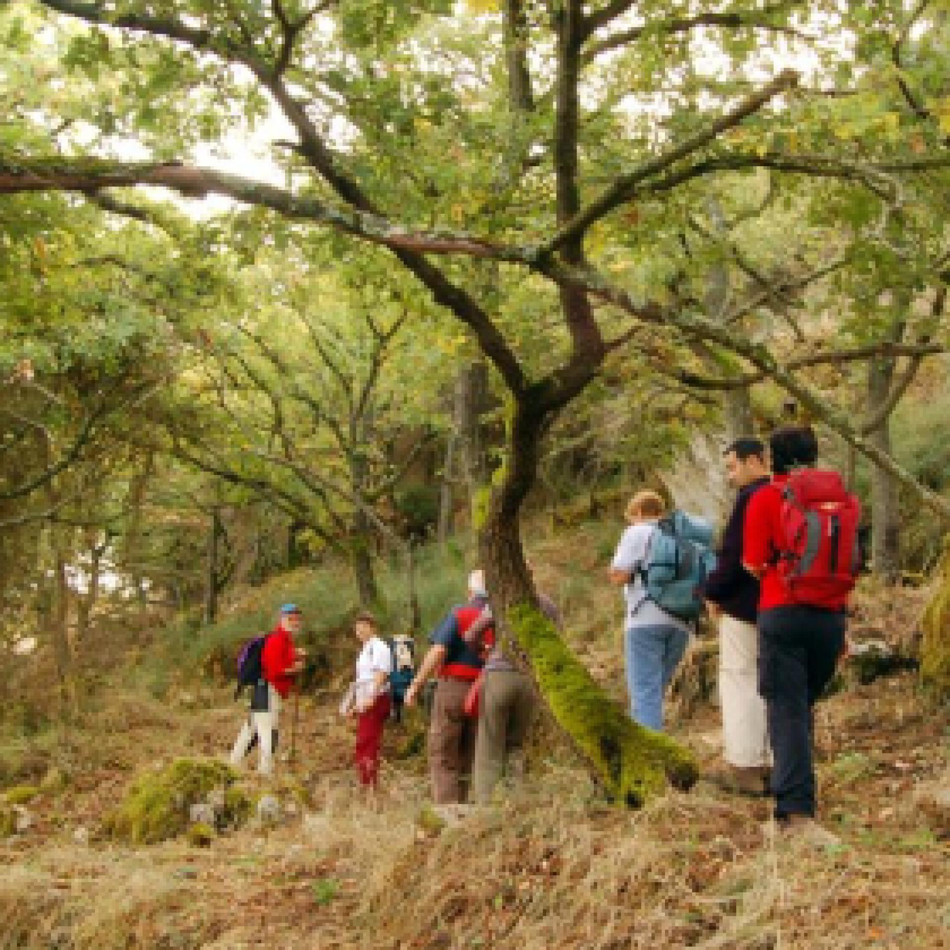
From Escalaplano, following paved and dirt tracks, this is a 20-km stage, first heading towards Marcasua, then following the Rio Su Ruaxiu stream and the Sentiero dei Carbonai (charcoal burners’ path) to the Sa Mola plateau with its characteristic rocks shaped by the elements. 

The route then descends into the Flumendosa valley and ends in Armungia, the home town of writer and politician Emilio Lussu

Don’t miss the nuraghe (prehistoric stone fortress) in the centre of Armungia dating back to the Bronze Age, around 1500-1400 BC.

Lenght 23.200 m

SI Z24.gpx

Total elevation gain 915 metri

Geographical area Gerrei Sarrabus-Sette Fratelli

Sentiero Italia (Tappa Z24) Cuile Is Arrantas - Armungia

In sintesi

Il Sentiero Italia attraversa in lunghezza il settore orientale dell’isola toccandone i sistemi montuosi più rilevanti, in 28 tappe.  Partendo da nord: tocca il massiccio del Monte Limbara, attraversa i calcari del Mont'Albo e del Tuttavista sfiorando il Golfo di Orosei,  attraversa il Supramonte, il Gennargentu, i Tacchi dell’Ogliastra e giunge a Perdasdefogu.  Più a sud, transita da Armungia e dalla subregione del Gerrei. Infine tocca l’abitato di Burcei e San Gregorio, per continuare nel massiccio dei Sette Fratelli fino alle vecchie carceri di Castiadas.

Informazioni generali sull'itinerario sentiero Italia

Il Sentiero Italia, come spiegato anche nel sito ufficiale, è un itinerario (o Cammino) lungo tutta l'Italia, che utilizza prevalentemente ma non esclusivamente "sentieri accatastati".   
In particolare, in Sardegna, non tutte le tappe del Sentiero Italia del CAI coincidono con sentieri già inseriti nel catasto della Rete Escursionistica della Sardegna (RES), perché non hanno ancora superato le verifiche di percorribilità oppure semplicemente perché non possono essere accatastati non avendone i requisiti.  Tuttavia, nel suo insieme, il Sentiero Italia rappresenta l'unica, la più grande dorsale escursionistica che attraversa attualmente la nostra Isola da nord (S. Teresa Gallura, tappa Z 1) a sud (Castiadas, fine tappa Z 28) toccando le aree montane della Sardegna centro-Orientale più affascinanti: l'altopiano di Buddusò, Tepilora, la valle del Cedrino, i boschi vetusti di Montes, Perda Liana e la foresta demaniale di Montarbu, il Monte Genis, e infine la foresta demaniale di Settefratelli (tra le tante attraversate dal lungo itinerario escursionistico a tappe).

Info sul percorso di questa tappa

Da Escalaplano per carrarecce asfaltate e bianche, una tappa di una ventina di chilometri dapprima verso Marcasua, poi lungo il torrente Rio Su Ruaxiu e il sentiero dei carbonai fino all’altipiano di Sa Mola con le sue caratteristiche rocce modellate dagli agenti atmosferici. 

Si scende nella valle del Flumendosa e si conclude ad Armungia, il paese che diede i natali al grande scrittore e politico Emilio Lussu

Di particolare interesse il nuraghe che sorge proprio al centro di Armungia risalente all’età del bronzo, circa 1500-1400 a. C..


Informazioni utili

Lungo il percorso non sarà sempre presente la copertura telefonica

Lenght 23.200 m

SI Z24.gpx

Total elevation gain 915 metri

Geographical area Gerrei Sarrabus-Sette Fratelli