The route was created as part of a collaboration between the GAL Ogliastra and the FoReSTAS Agency, with the aim of offering hikers an immersive experience in the natural and scenic beauty of the Ogliastra area. The itinerary features points of interest along every section. You can choose your starting stage and build your own customized route, traveling from north to south or from south to north. The direction of travel may change, but the quality of the landscape remains unchanged.
The path
The route alternates between sections of varying difficulty, combining relaxing, accessible stretches with more demanding climbs and panoramic viewpoints.
It winds through a wide range of natural environments—dense forests, mountain ridges, limestone plateaus, and reforested areas—in a constant rhythm of ascents and descents that inspire both movement and discovery. The trail unfolds in a landscape shaped by the interaction between nature and traditional human activities, marked by archaeological remains and traces of a land-use system rooted in pastoralism and rural life.
Views of the sea, flowing streams, quiet clearings, and rock formations sculpted by time enrich the experience, offering scenic glimpses and a pleasant sense of deep connection with the natural surroundings.
Although the route does not directly pass through the main towns, it still offers the opportunity to detour to visit them and discover their traditions.It is an immersive journey that encourages walking with open eyes and a mindful step.
From Olinie Mount to Lampathu Mountain Hut in Urzulei
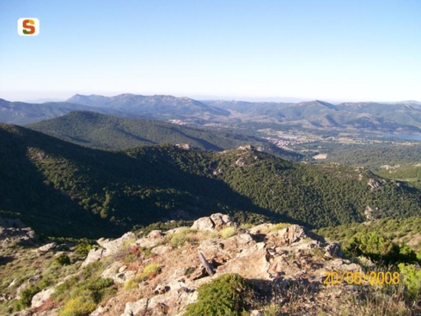
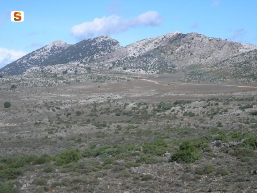
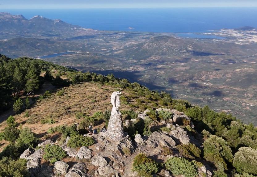
Questa tappa, in continuità con la parte finale della precedente, si sviluppa sul versante del Gennargentu che si affaccia sulla costa ogliastrina e sulla piana sottostante. Con i suoi 1372 metri di altitudine, Monte Olinie rappresenta il punto più elevato dell’intero percorso.
Nella prima parte, il cammino segue una cresta panoramica che si estende da sud verso nord-est, offrendo ampie vedute sull’abitato di Talana. Lungo il tragitto si incontrano il Nuraghe Bau ‘e Tanca e il Monte di Pisu Cerbu (1348 m) (6), prima di addentrarsi nel cantiere forestale Monte Genziana, dove è possibile visitare anche il vivaio forestal, testimone delle attività di tutela ambientale del territorio.
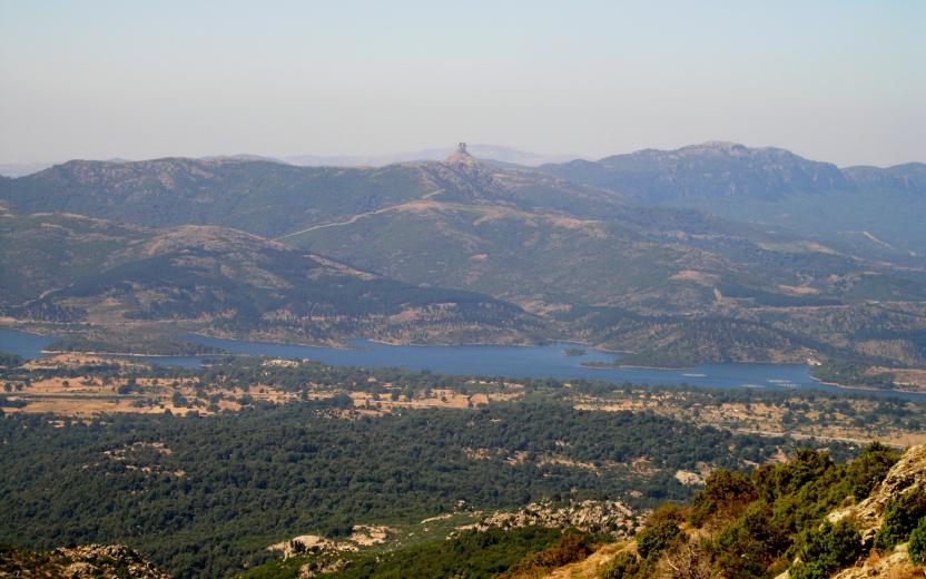
Proseguendo, si entra nel territorio di Urzulei, raggiungendo la piana di Fennau (9), punto d’incontro con il percorso di San Giorgio. Una breve deviazione consente di visitare le suggestive Tombe dei Giganti di S’Arena (10), importanti testimonianze archeologiche della civiltà nuragica.
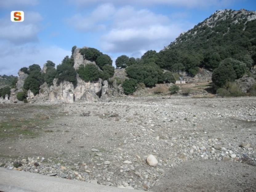
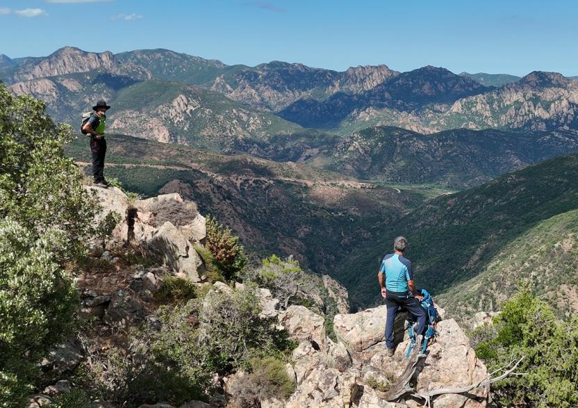
A questo punto, il tracciato si apre verso il Supramonte, l’imponente massiccio calcareo che domina il paesaggio. Lo si raggiunge risalendo le alture che sovrastano il paese di Urzulei, fino all’ampio e suggestivo altopiano di Campu Oddeu (11), il più esteso della Sardegna. Da qui, si può scegliere se proseguire verso Urzulei, uno dei paesi della celebre Blue Zone, adagiato ai piedi della montagna, oppure fermarsi al rifugio CAI di Lampathu, immerso nella quiete dell’altopiano.
Tips
If you choose to visit or stay in Urzulei, don’t miss the chance to explore the town’s mural trail. Created as part of the Memoria e Identidade project, this artistic itinerary brings the past back to life through murals inspired by vintage photographs, painted in evocative black and white tones that enhance their visual impact and historical value.
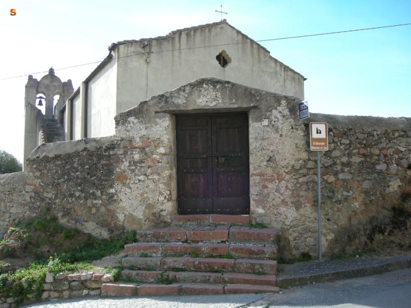
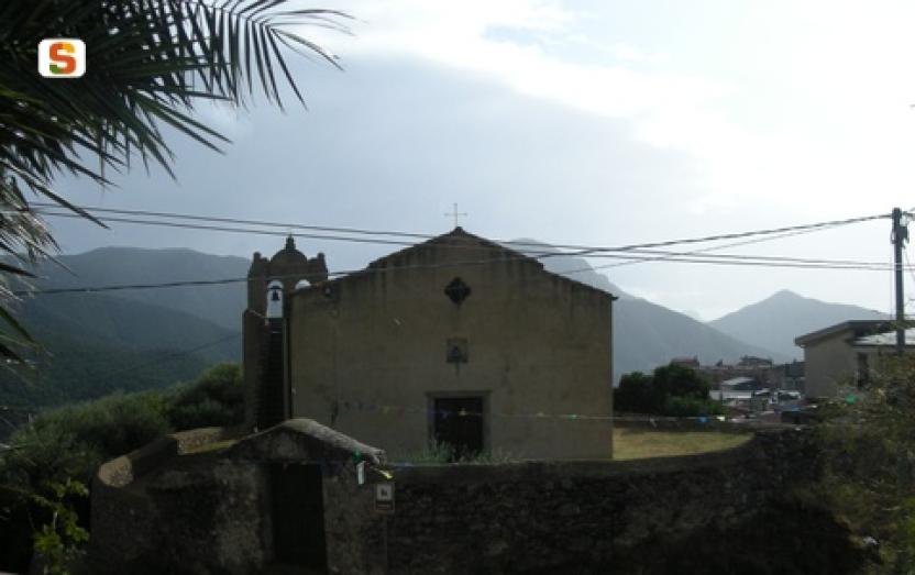
Among the cultural experiences not to be missed is a visit to the Ethnographic Museum Andalas de Memoria and to the village’s weaving workshops, where the ancient Sardinian textile tradition is reinterpreted through contemporary expressions. Here, the thread itself becomes a story, weaving together memory and innovation. Completing the itinerary are the churches of San Giorgio and Sant’Antonio, guardians of age-old rituals that still mark the rhythm of community life today.