Start website main content

Official Sardinian Paths

30 itineraries

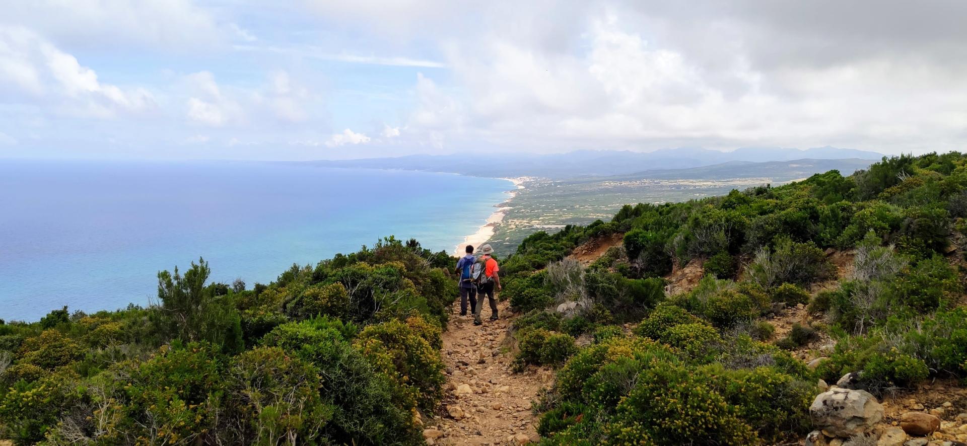
Sardinia offers a marvelous variety of interpretations of the landscape: among these, the historical-mining-religious paths included in the regional register are a splendid sample of proposals for the walker-pilgrim: dirt roads, cart tracks, mule tracks and disused railways of Sulcis , Iglesiente and Guspinese. Or along the coasts, where the route of the 100 Towers winds, or through Gerrei, Sarcidano and Tacchi d'Ogliastra, where other Transhumance Routes lead to Gennargentu and Supramonte along dozens of sites protected by the Geo-mining Park of Sardinia... a time traveled by workers or shepherds...

Da capo Pecora a Scivu

Results

Muvroni -Sa Canna (C-510)

This path starts at Muvroni where it intersects with Trail C 204. The route skirts the Pitzu S. Antonio locality and continues on an uphill course until it reaches the Cale Quaddu locality, where it crosses Trail C 500. From here, cross Provincial road SP 13 (caution is advised when crossing) and continue along a dirt track that skirts the limestone tacco (rock outcrop) of Monte Corongiu. After reaching the entrance to the Semida Forest and passing the AIB (fire protection) station in the Sa Sartaina locality, you will descend towards the Ibba Semida locality where you will find the Semida information point. After crossing the Forest area, with scrub vegetation with a predominance of strawberry trees and holm-oak stands, past the bridge over the Ulassai stream, you will reach the country sanctuary of S.Barbara of Ulassai. From here, continue along a concrete road until you reach the entrance to the Oasi Girisaire Forest and then the junction with Trail C 505.

Walking time is 4 hours 30 minutes.

Informazioni utili

ABOUT THE TERRITORY 

The current trail network in Ogliastra extends for about 440 km. In the area of the Tacchi of Osini and Ulassai the total length of the hiking trails is around 80 km. The total area of the Tacchi of Osini and Ulassai is about 10,000 hectares

The area is characterised by the presence of extensive outcrops of Palaeozoic rocks, mainly shale, which form the base of the carbonate plateaus (formed in the Mesozoic era) of varying height and size interspersed with deep canyons, known as Tacchi, which are distinctive features of this geographical area. The most widespread woodland is the holm oak forest, accompanied by areas of reforestation with conifers. The entire territory has many endemisms, some exclusively Sardinian and others also present in Corsica. Of particular interest is the protected nature area designated as RIN, in the Sa Brecca (Osini) locality, aimed at safeguarding the wild orchid Dactylorizha elata, an endemism exclusive to Sardinia. 

Very important from a naturalistic point of view is the permanent wildlife protection oasis of Taccu (Ulassai), where some specimens of Sardinian deer have recently been reintroduced. In Osini you can visit the natural monument Scala di San Giorgio, a natural pass that allows you to reach the Tacco

Archaeological sites include the Serbissi, Urceni, Sanu and Orruttu nuraghi (prehistoric stone towers) in the countryside round the village of Osini

There are numerous caves, the most impressive of which, open to visitors, is the Su Marmuri cave in Ulassai, one of the largest in Europe, and home to the largest bat colony in Italy. 

In Ulassai in the rainy season you can also admire the Lequarci waterfalls, among the most impressive in Sardinia. In and near the town of Ulassai, there are many works by locally-born artist Maria Lai.

The area’s trail network includes routes with various degrees of difficulty (T = Tourist - easy; E = Hiker - intermediate; EE = Expert Hiker), and covers the entire territory, including its coastal and mountain stretches. You can choose either a long ring-shaped route or shorter routes to reach specific attractions in the coastal or mountain areas. It is also possible to cross the area on your way to the northern and southern parts of the island along the Sentiero Italia trail.

Special care must be taken in rainy periods for the risk of flash floods (Sa canna stream area) and on account of cliffs and karst formations both above and below ground.

Roadbook

The path begins at the junction with Trail C 204 in the Muvroni locality. It starts on an uphill track for about 1.3 km, skirting the Pitzu S. Antonio locality, and then continues for about 600 m on an uphill path still today used for seasonal livestock droving, until it reaches the Cale Quaddu locality, where it intersects Trail C 500. From here, after crossing Provincial road SP 13 (pay close attention when crossing), it continues northwards on a dirt track that skirts the limestone tacco of Monte Corongiu, to reach the entrance to the Semida Forest area.

Data Rilievo

Path lenght 16.800 m

Path designer Agenzia Regionale Fo.Re.S.T.A.S.

Maintainer Agenzia Regionale Fo.Re.S.T.A.S.

CAI code Z-NU-C-510

Minimum altitude 360 metri

Maximum altitude 876 metri

Total elevation gain 713 metri

Elevation gain 452 metri

Negative elevation 496 metri

Muvroni - Sa Canna (C-510)

Questo sentiero  inizia  in località Muvroni dove incrocia  il sentiero C 204.  Il percorso costeggia la località Pitzu S.Antonio per proseguire su un sentiero in salita  fino a raggiungere la località Cale Quaddu  dove incrocia  il sentiero C 500. Da qui attraversata la S.P. 13 (si raccomanda  la attenzione durante l’attraversamento) si prosegue su una pista sterrata che costeggia il tacco calcareo di Monte Corongiu. Raggiunto l’ingresso del Perimetro Forestale di Semida e superata la postazione AIB in località Sa Sartaina si scende verso la località Ibba semida per raggiungere l’info point Semida . Attraversato  il presidio Forestale, caratterizzato dalla presenza di formazioni a macchia con predominanza di corbezzolo e formazioni a leccio, superato il ponte sul rio Ulassai, si raggiunge il  santuario campestre di  S.Barbara di Ulassai. Da qui  si prosegue su una strada cementata  fino a raggiungere l’ingresso del Perimetro Forestale  Oasi Girisaire e successivamente l’incrocio con il sentiero C 505.

Il tempo di percorrenza è di  4 ore e 30 minuti.

Informazioni utili

INQUADRAMENTO GENERALE 

La rete sentieristica attuale in Ogliastra si estende per circa 440 km, nell’area dei Tacchi di Osini e Ulassai la lunghezza totale dei percorsi escursionistici si aggira intorno a 80 km. L’estensione territoriale dell’area dei Tacchi di Osini e Ulassai è di circa 10000 ettari

L’area è caratterizzata dalla presenza di estesi affioramenti di rocce paleozoiche, principalmente scisti, che costituiscono il basamento degli altopiani carbonatici (formatisi in era Mesozoica), di diversa altezza e dimensioni intervallati da gole profonde, denominati Tacchi che contraddistinguono quest’area geografica. La formazione forestale più rappresentativa è costituita dal bosco di leccio oltre a rimboschimenti a conifere. Rilevante in tutta l’area la presenza di endemismi, alcuni esclusivamente sardi ed altri sardo-corsi, si segnala, in particolare, la presenza di un’area RIN, in località Sa Brecca (Osini), volta alla salvaguardia dell’orchidea Dactylorizha elata, endemismo esclusivo della Sardegna. 

Importantissima dal punto di vista naturalistico l’Oasi permanente di protezione faunistica di Taccu (Ulassai), in cui recentemente sono stati reintrodotti alcuni esemplari di cervo sardo. Ad Osini è visitabile il monumento naturale Scala di San Giorgio, valico naturale che permette di raggiungere il Tacco

Fra i siti archeologici si ricordano i nuraghiSerbissi, Urceni, Sanu e Orruttu in agro di Osini

Sono presenti numerose grotte, di cui la più importante, nonché visitabile, è quella di Su Marmuri a Ulassai, considerata fra le più grandi d’Europa, oltre che essere la colonia di pipistrelli più numerosa d’Italia. 

Ad Ulassai in occasione di piogge importanti è possibile ammirare le cascate di Lequarci, considerate fra le più imponenti della Sardegna. Lungo i tracciati dislocati nei dintorni e nell’abitato di Ulassai sono presenti numerose opere dell’artista Maria Lai.

La rete dei sentieri in oggetto presenta diversi gradi difficoltà (T-E-EE), permettendo di raggiungere tutto l’areale, sia costiero che montano, consentendo sia il percorso di lunga percorrenza ad anello o brevi percorsi per visitare attrattori specifici a mare o a monte, oltre che permettere di raggiungere le aree settentrionali e meridionali dell’isola percorrendo il Sentiero Italia.

Particolare attenzione è necessaria nei periodi di piogge per eventuali eventi alluvionali (area del rio Sa canna) oltre che per la presenza di falesie ed emergenze carsiche sia epigee che ipogee.

Roadbook

Il sentiero ha inizio all’incrocio con il sentiero C 204 in località Muvroni; inizialmente si percorre un tratto di pista in salita per circa 1,3 km costeggiando la località Pitzu S.Antonio per proseguire per circa 600 m. su un sentiero,  sempre in salita, utilizzato ancora oggi come via della transumanza fino a raggiungere la località Cale Quaddu dove si incrocia  il sentiero C 500;  da qui, attraversata la S.P. 13 (si consiglia di prestare molta attenzione durante l’attraversamento), si prosegue in direzione Nord su una pista sterrata che costeggia il tacco calcareo di Monte Corongiu, per raggiungere l’ingresso del Presidio Forestale Semida.

Data Rilievo

Path lenght 16.800 m

Path designer Agenzia Regionale Fo.Re.S.T.A.S.

Maintainer Agenzia Regionale Fo.Re.S.T.A.S.

CAI code Z-NU-C-510

Minimum altitude 360 metri

Maximum altitude 876 metri

Total elevation gain 713 metri

Avvertenze e pericoli

Elevation gain 452 metri

Negative elevation 496 metri

Contiene carte
Spento