Campidano di Oristano
Campidano di Oristano
: description
Campidano di Oristano is a sub-region of western Sardinia, whose territory belonged in ancient times to the Kingdom of Arborea, and which corresponds to the curatorie or administrative areas of: Campidano di Milis, Campidano Maggiore (or di Cabras), Campidano di Simaxis, Usellus, Montis, Bonorzuli
[source: Wikipedia].
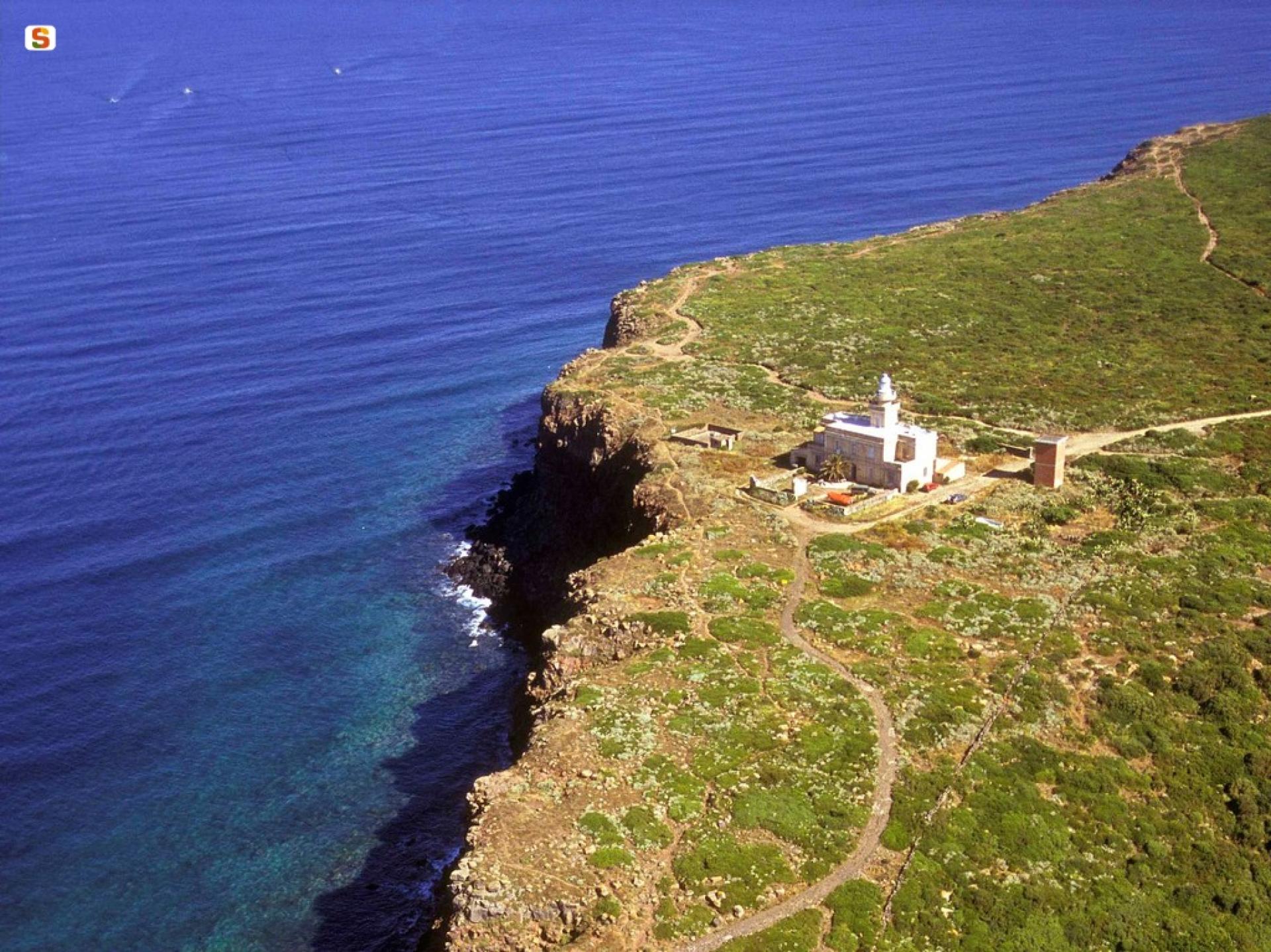
The environmental structure of this territory is based on the system of coastal wetlands stretching from the centre of the Gulf of Oristano to the Sinis Peninsula, up to and including the sandy beach of Is Arenas. The territory features three coastal plains, the Campidano of Oristano, and the Tirso river hydrographic system: the Campidano of Milis lies to the north, the Tirso forms the watershed between the Campidano di Milis and the Campidano Maggiore, and the Campidano of Simaxis.
The lagoon and pond environments found along the coastal strip between Capo Mannu and Capo Frasca (Is Benas, Mistras, Cabras, Santa Giusta, Pauli Maiori, S'Ena Arrubia, Corru s'Ittiri and Corru Mannu San Giovanni and Marceddì), not only represent the natural hydraulic expansion system of watercourses and a great natural and ecological resource, but are also home to important economic activities such as fish farming.
The structure of the coastal settlements presents hybrid situations around the main centres: Oristano (seaside village of Torre Grande), Arborea (Colonie Marine), Cabras (seaside hamlets of San Giovanni di Sinis and Funtana Meiga), San Vero Milis (S'Arena Scoada, Putzu Idu, Mandriola, Su Pallosu, Sa Rocca Tunda), Terralba (fishing village of Marceddì).
The Gulf has been characterized by the founding of three separate urban centres during the Phoenician era, Neapolis, Othoca and Tharros. (source: Regional Landscape Plan, area sheet n.9)