Inizio contenuto principale del sito web

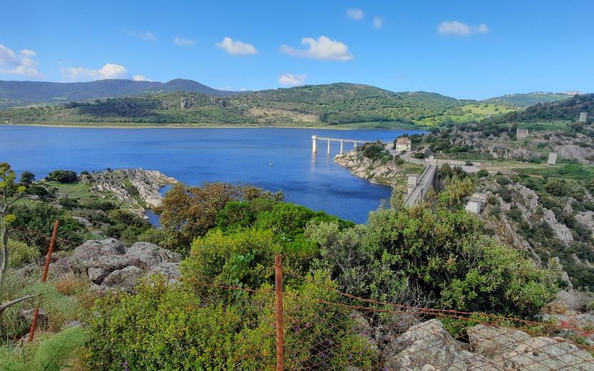
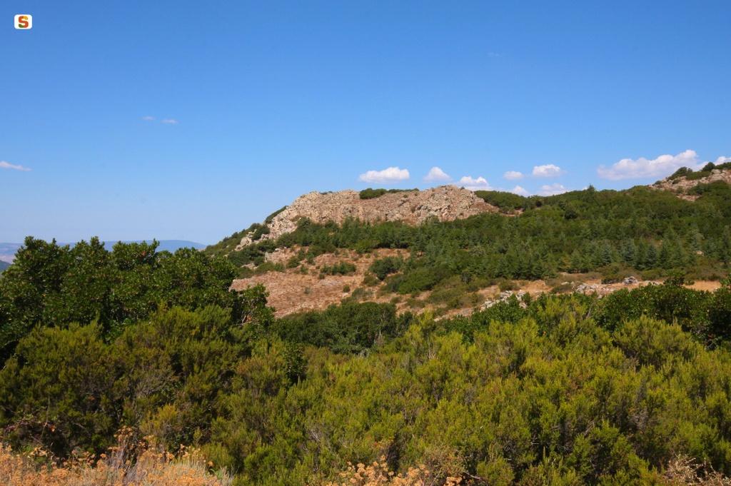
Il Monteacuto è una regione storica della Sardegna dai confini non ben delineati, gravitante intorno alla cittadina di Ozieri . Deve il suo appellattivo all'omonima collina, sita in territorio di Berchidda, che ne Medioevo fu sede di un importante castello.

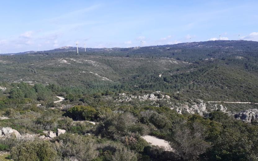
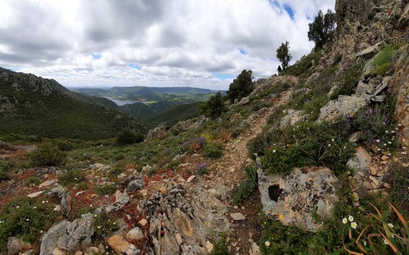
Il suo territorio corrisponde in massima parte ai territori pianeggianti che a partire dal Monte Santo, che segna il confine col Meilogu, arrivano fin quasi ad Olbia, comprendendo la vallata a sud del Limbara. L'unica zona realmente montuosa è quella a Sud-Est, corrispondente pressappoco al territorio di Pattada e all'altopiano di Buddusò (che però anticamente era compresa nell'ambito del Nuorese).

Oggi il Monteacuto si trova economicamente e amministrativamente diviso in due zone il cui confine è segnato dal fiume Coghinas: l'una gravitante verso Sassari e l'altra verso Olbia-Tempio. In realtà anche storicamente la regione si trovava divisa tra Logudoro e Gallura.  Appartengono a questa regionestorica i comuni: Berchidda (OT), Monti (OT), Nughedu San Nicolò (SS), Tula (SS), Oschiri (OT), Ozieri (SS), Pattada (SS), Alà dei Sardi (OT), Buddusò (OT).

(Fonte: Wikipedia)

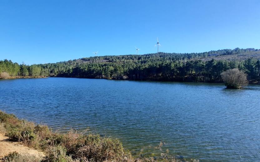
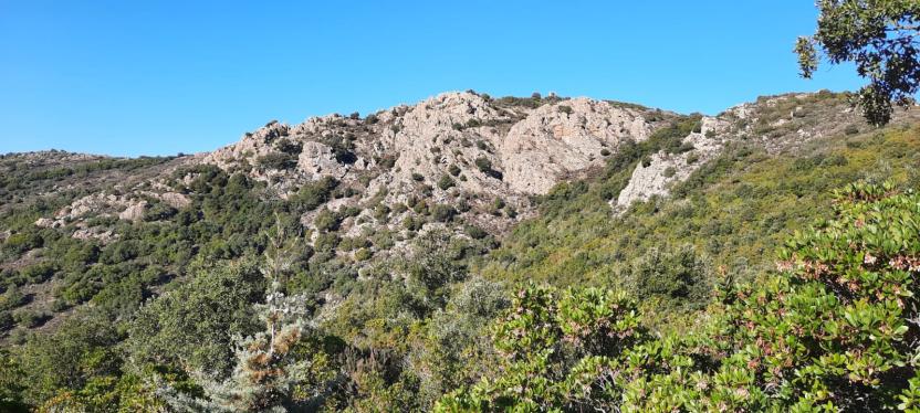
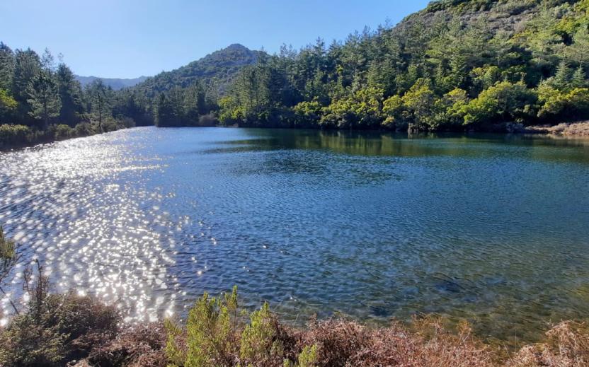
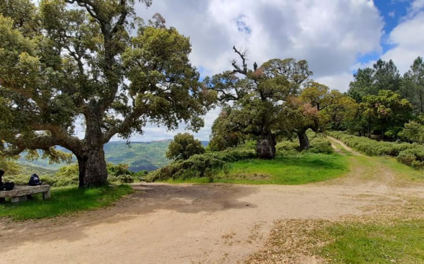
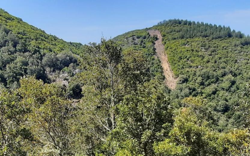
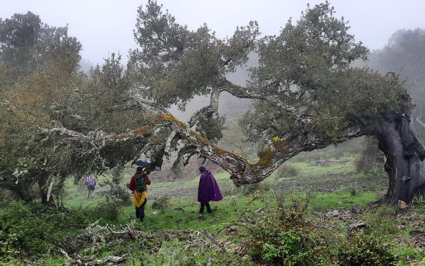
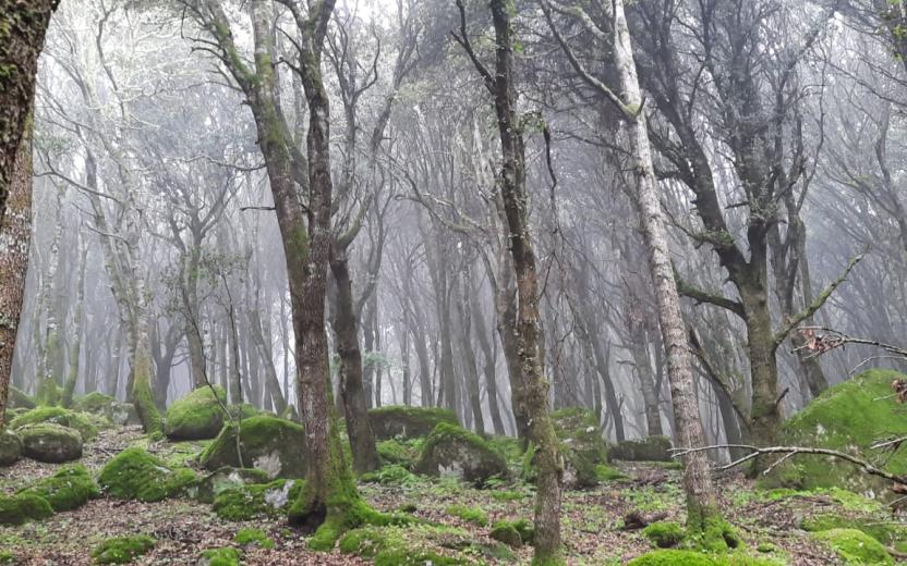
Il Complesso Forestale del Monte Acuto è costituito da diversi corpi di notevole valenza naturalistica ricadenti nei comuni di Tula, Pattada, Buddusò, Oschiri e Berchidda. La sede del complesso, situata presso Monte Lerno, è Foresta Demaniale dal 1904. Caraterizzata da lecci, sugherete, pino, cedro dell'Atlante e castagno. Afferiscono inoltre a questo Complesso forestale le unità gestionali di Sa Conchedda e di Filigosu che pur non ricadendo nel distretto forestale n.5 costituiscono un unico corpo con le unità di Monte Lerno e Sa Linna Sicca. 

MAGGIORI DETTAGLI

Visualizza la scheda dei territori forestali su SardegnaForeste.it


Monteacuto is a historical region of Sardinia with rather unclear boundaries, gravitating around the town of Ozieri. It owes its name to the hill of the same name, located in Berchidda, which in the Middle Ages was home to an important castle. Its territory covers predominantly flat areas that stretch from Mount Santo, which marks the border with Meilogu, almost as far as Olbia, including the valley to the south of Limbara. The only really mountainous area is that in the South-East, corresponding more or less to the area of Pattada and the Buddusò plateau (which, however, in ancient times lay within the Nuorese region).  Today, from an economic and administrative point of view, Monteacuto is divided into two zones, with the Coghinas river representing the border: one zone gravitates towards Sassari and the other towards Olbia-Tempio. Indeed, even historically the region was split between Logudoro and Gallura. The municipalities belonging to this historical region are:   Berchidda (OT), Monti (OT), Nughedu San Nicolò (SS), Tula (SS), Oschiri (OT), Ozieri (SS), Pattada (SS), Alà dei Sardi (OT), Buddusò (OT).   [Source: Wikipedia]

The Monte Acuto Forest Complex consists of several areas of outstanding natural value in the municipalities of Tula, Pattada, Buddusò, Oschiri and Berchidda. The headquarters of the complex, located near Monte Lerno, has been part of the State-owned Forest since 1904. Characterised by holm oaks, cork oaks, pine, Atlas cedar and chestnut.  The Forest Complex is also in charge of the management units of Sa Conchedda and Filigosu, which although not part of forestry district n.5 forms a single unit with the units of Monte Lerno and Sa Linna Sicca.

527175.jpg
slug
monteacuto