Tisiddu trail (C-502)
The pathway
Useful informations
Roadbook
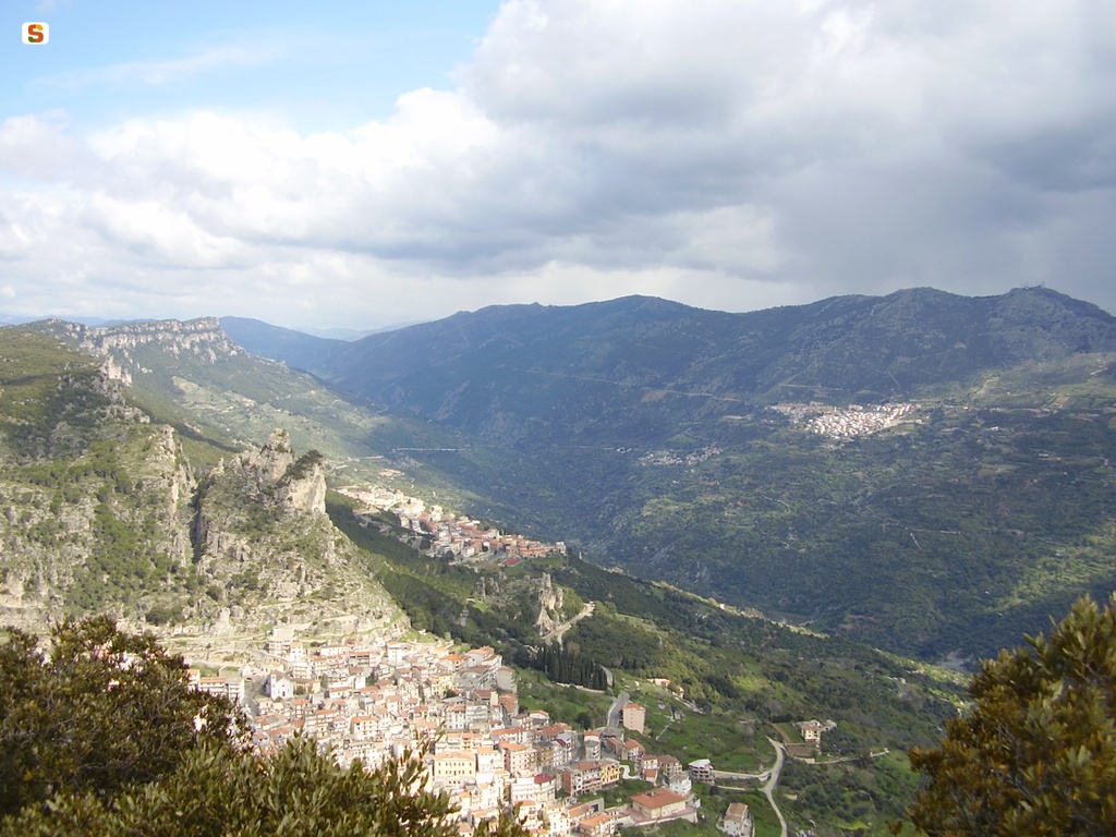
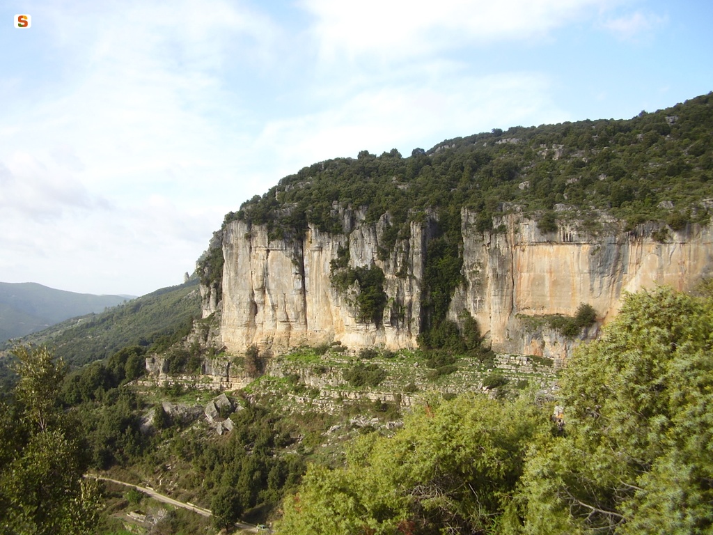
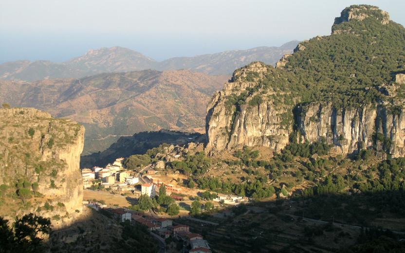
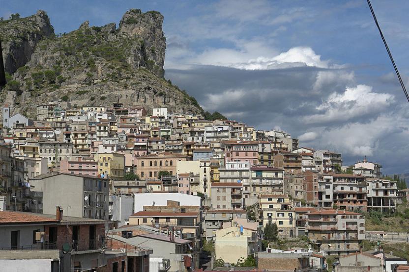
The trail starts from the town of Ulassai and covers a distance of 6 km, climbing the Tisiddu plateau and descending again to complete a loop.
The Tisiddu trail consists of two loops: a main one (about 5.4 Km) and a branch-off (about 1.2 Km)
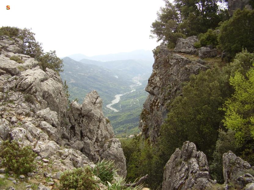
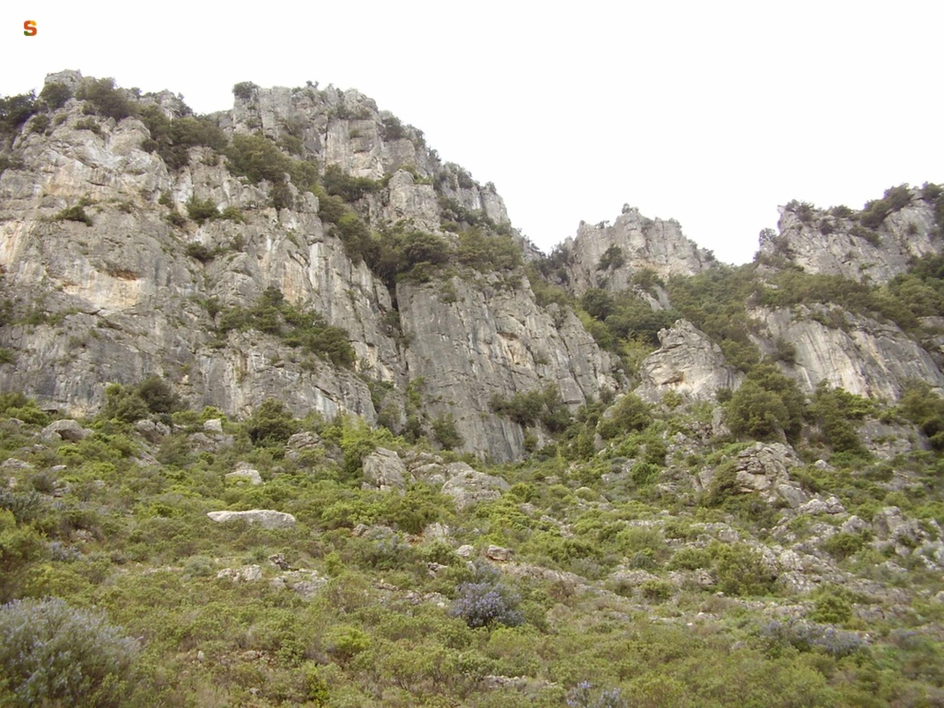
The secondary ring, which is located in the upper part of the plateau, is reached after a steep climb of about 850m and leads to the highest peak of the area, the Bruncu Matzei (921 m a.s.l.).
The first ring extends for about another one km, after which you join up again with the path that crosses the entire plateau, leading to the southern side of the Tacco.
After a further stretch of about 1.5 km, at a virtually steady elevation, you start the descent that leads back to the town after a further 2.5 km, almost all downhill.
Trail data and altimetry
Photogallery
Download trail documentation
Opinions
No reviews yet for this path


