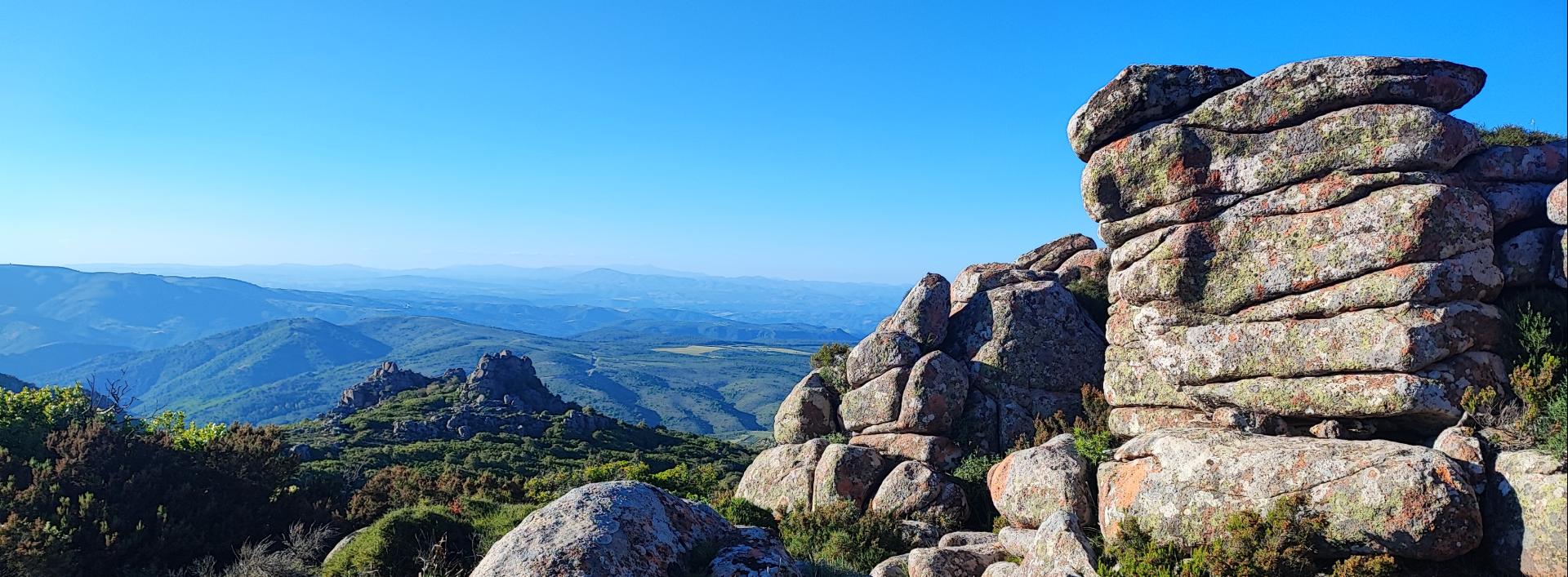
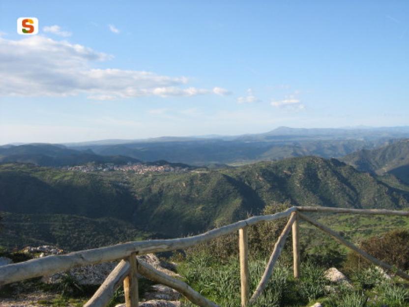
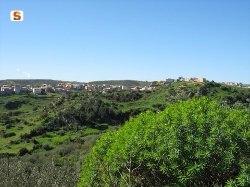
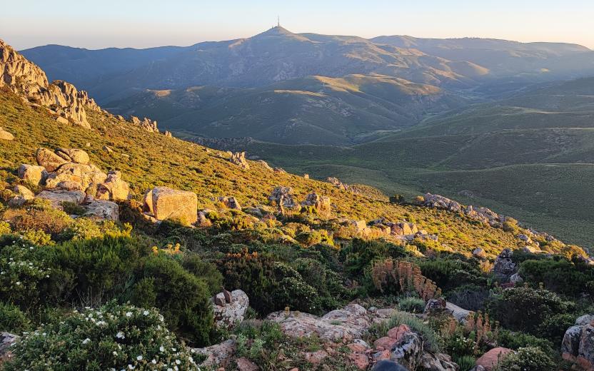
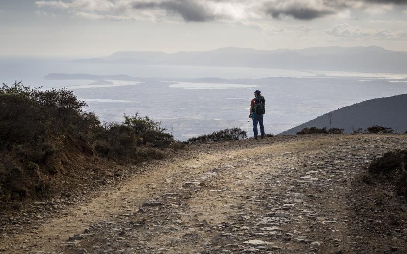
Capanno avvistamento grifoni 4 Validation level Percorribile More infos Photo credits Photo author Alessio Saba Image credits Agenzia Forestas Route summary Difficulty level More infos sui gradi di difficoltà Turistico Time lenght The itinerary Percorso che porta al capanno di avvistamento dei grifoni Show more Show less Useful informations Il percorso è privo di segnaletica, o presenta una segnaletica parziale, ma rappresenta la via primaria di accesso al punto di osservazione per i grifoni. Show more Show less Itinerary data Difficulty level More infos sui gradi di difficoltà Turistico Time lenght Attachments Descrizione tracciati (mappa pdf) PDF - 5.48 MB Links Percorsi di accesso ai punti di avvistamento Grifoni presso Cea Romana a Villasalto (5691) Route map Expand map Minimize fullscreen map Skip map and go the next section See on interactive map Related pathways Skip Pathways slider and jump to the next section Pathways Villasalto - Belvedere Su Pardu (C-401A) Time lenght 15 minutes Path lenght 700 m Pathways Villasalto - Caboni (C 402) Time lenght 15 minutes Path lenght 800 m Precedente Successiva Related Points of interest Skip POI slider and jump to the next section Points of interest Vedetta (panoramica) di Monte Gènis Route location Monte Genis Related itineraries Skip the Related itineraries slider and jump to the next section Itineraries Strada Per Cea Romana Difficulty level More infos sui gradi di difficoltà Turistico Itineraries Sentiero Italia (Tappa Z26) Su Niu ‘e S’Achili – Burcei Difficulty level More infos sui gradi di difficoltà Trekking Escursionista Esperto Precedente Successiva Editorial informations Updated on 23/09/2026 - 17:56 Created on 23/09/2026 - 16:32
Itineraries Sentiero Italia (Tappa Z26) Su Niu ‘e S’Achili – Burcei Difficulty level More infos sui gradi di difficoltà Trekking Escursionista Esperto