TERRITORIAL FRAMEWORK
The Municipality of Dualchi covers an area of 2,344 hectares. The territory, rocky in nature but with excellent land for sheep and cattle grazing, has a strong agro-pastoral vocation. It lies within the historical region of Marghine and features gently undulating terrain, with altitudes ranging from a minimum of 165 meters to a maximum of 358 meters above sea level. The vegetation is typical of the Mediterranean scrub, dominated by asphodel, giant fennel, bramble, rockrose, hawthorn, mastic, wild pear, wild olive, and various oak species (downy oak, holm oak, and cork oak).
Dualchi has ancient roots dating back to the proud era of megalithic constructions and the imposing nuraghi, which continue to be studied today. About fifteen nuraghi, two dolmens, and a large number of tombs and medieval settlement remains can be found in the area.
The southern part is mostly flat and is distinguished by the numerous traditional dry-stone walls that define property boundaries and outline the various paths leading to several points of interest, including the Triangle of Nuraghi, formed by Nuraghe Caddaris, the proto-Nuraghe Biriola, and Nuraghe Piddio. Also in the south, one can easily reach the Allée Couverte of Brancatzu and the Dolmen of Badde Ide.
In the northern area, visitors can explore the country church of San Pietro, of Aragonese origin and built in the 16th century. Taking the trail in the Iscarbure area leads to a viewpoint offering a splendid natural panorama over the Rio Murtazzolu valley, where the rocky wall known as Roccas de Merches Enturzos rises — a site that, until a few decades ago, provided an ideal nesting habitat for griffon vultures. Continuing along the trail leads to the Nuragic village of S’Aspru.
The Rio Murtazzolu, an important right tributary of the Tirso River originating in the mountains of Macomer and Bortigali, flows through a deep valley at the foot of the basalt plateau of Ozzastru, bordered by dense riparian vegetation. From the riverbank, three different trails branch out, crossing woods of wild olive, mastic, and oak species, leading to archaeological sites such as Nuraghe S’Ulivera, Nuraghe Iscala Etza, and Nuraghe and the Giants’ Tombs of Pirizzada.
These trails ascend to the plateau, where the landscape is dominated by some of the most remarkable nuraghi of the Marghine region, including the Nuraghe Ponte, one of the most important and best-preserved in Sardinia. In front of it lie the remains of a necropolis dating back to the Phoenician-Punic period. To the west, it is possible to reach Nuraghe Uana and Nuraghe Bardalazzu.
DESCRIPTION OF THE TRAIL NETWORK
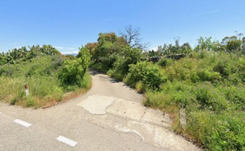
The trail network of Dualchi stretches across the territory from south to north, encompassing the town center and enhancing the value of its various tourist attractions — natural, scenic, historical, cultural, and religious — by providing physical connections between these sites.
The different routes allow visitors to reach the main archaeological and landscape landmarks, as well as the cultural and identity heritage of Dualchi, through a network of paths that includes many historically used trails. To ensure continuity and connectivity among the various points of interest, some sections integrate with local, peri-urban, and rural roads.
The hiking network, suitable for trekking, cycling, and horseback riding, extends for about 30 kilometers, featuring flat landscapes in the south and wooded trails with holm oaks and olive trees in the north. The overall difficulty level is mainly T (Tourist), except for some northern paths that reach E (Hiker) level. This makes all points of interest fairly easy to access.
There are also three rest areas (one of which is located in Piazza San Leonardo in the town center), where visitors can rest or enjoy a snack.