Jerzu Town Center - Porcu e Ludu Location (C 206)
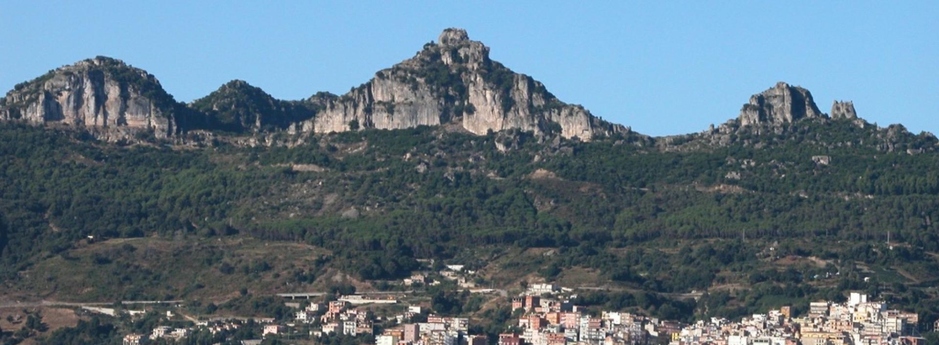
Image credits Sardegna Digital Library
The pathway
Useful informations
Roadbook
The trail starts above the town, near the municipal sports facilities in the Teccodi area, at an altitude of approximately 580 meters.
From this point, the path climbs, first on a dirt road, then continuing on a narrow and steep trail along the slope. The path is covered by a holm oak forest that reaches and runs alongside S.P. 13 for a short stretch at an elevation of 671 meters above sea level.
The route continues, moving away from the provincial road and down from it, along a narrow path that alternates with a dirt track. The path is covered by a varied canopy of pine and holm oak trees, with some open areas. Along the same path, there are several tables available for use as a picnic area.
The path once again meets and crosses the Provincial Road 13 to take a gentle climb that leads to the final destination Porcu ‘e Ludu, the basal part of the limestone formations of the "tacchi" and the starting point for stage Z21B of Italy Trail.
Trail data and altimetry

Photogallery
Jerzu, scorcio del paese
Comune di JerzuSardegna Digital Library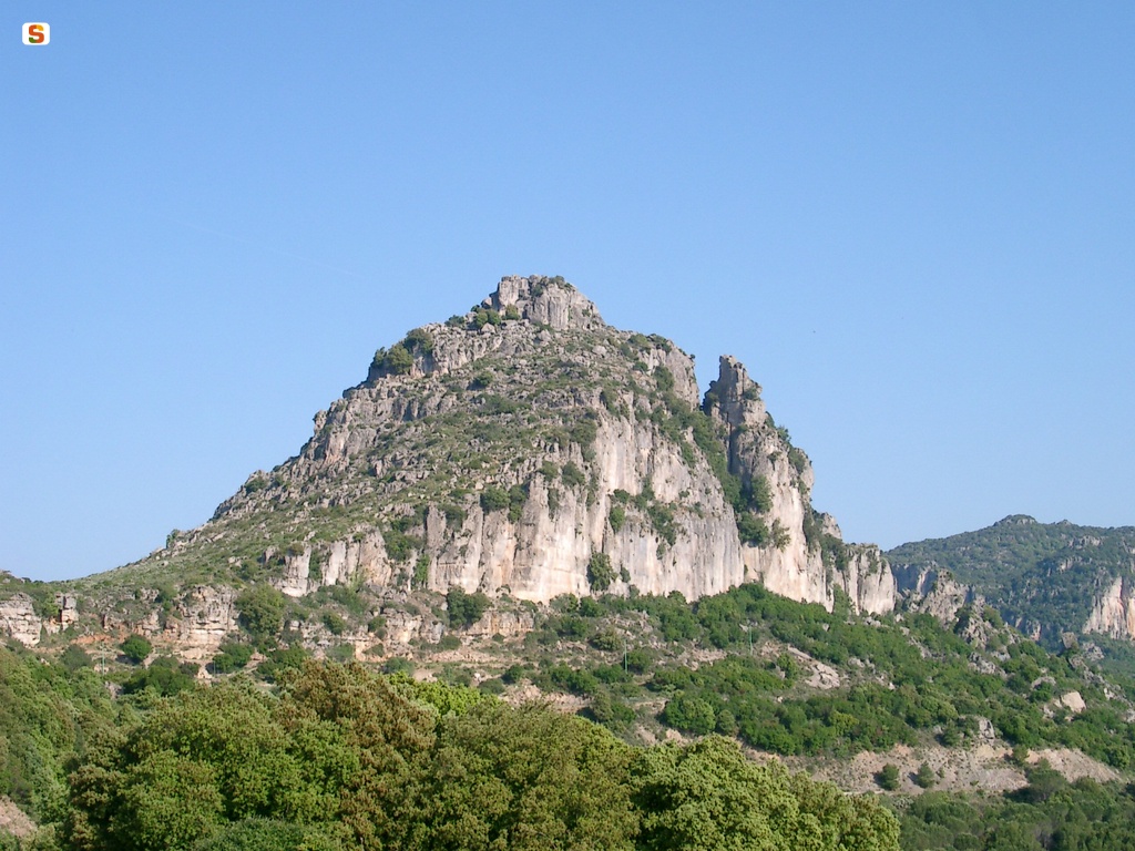
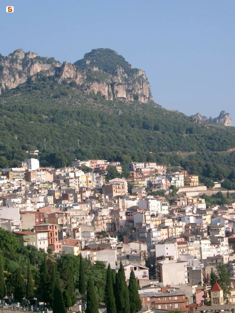
Jerzu, monte Porcu 'e Ludu
Comune di JerzuSardegna Digital LibraryDownload trail documentation
Opinions
Reviews
Francesco Emanuele Deplano
Bel sentiero, facile da raggiungere, ben tenuto e con buone indicazioni generali. Offre scorci interessanti verso il mare e verso i tacchi. Permette di immergersi nella natura stando comunque a pochi passi dal centro abitato (per un abitante jerzese non è necessario nessun mezzo di trasporto per raggiungerlo). Se i suoi 1,7 km non vi dovessero bastare (che diventano comunque 3,4 km considerando il rientro) si può proseguire essendo collegato ad altri sentieri e percorsi. Non è impegnativo, il primo tratto presenta giusto qualche scalino e un po' di pendenza.
