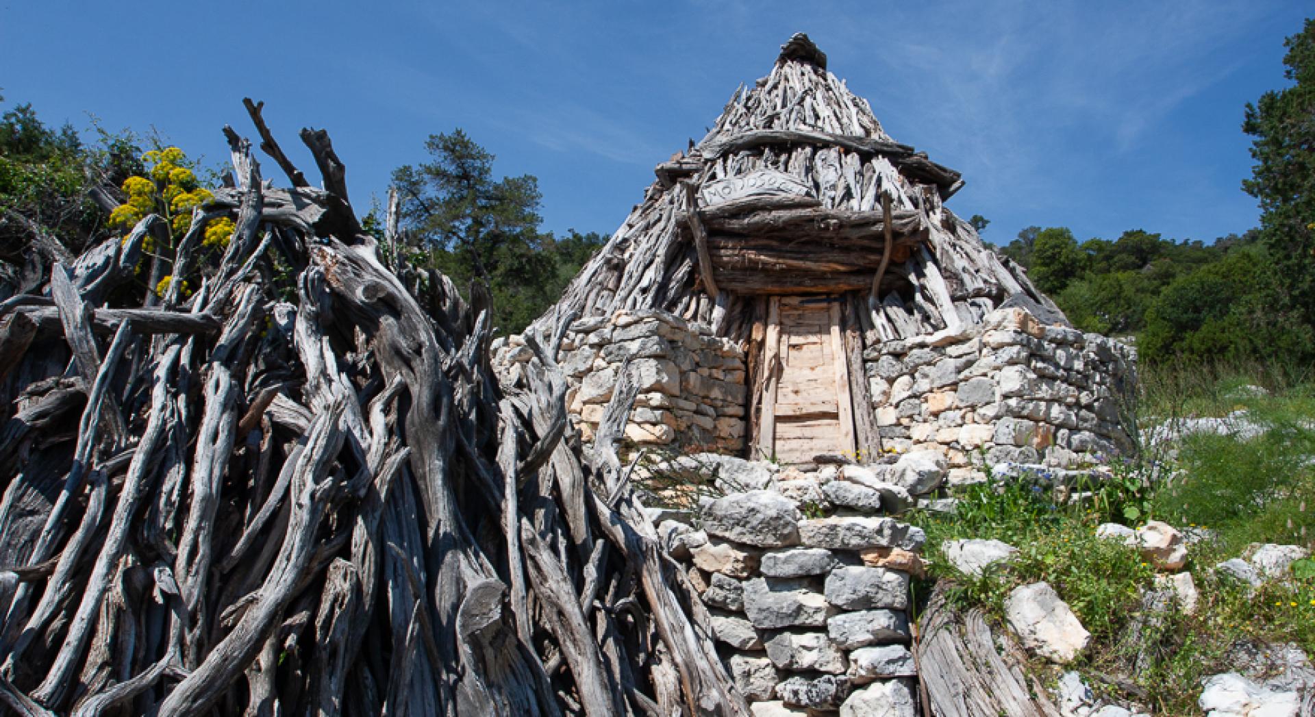
Su Crou - Sos Mojos (B 486A)
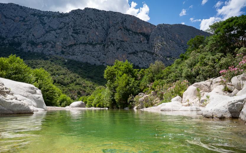
The pathway
Trail data and altimetry

Download trail documentation
Related pathways
Skip Pathways slider and jump to the next section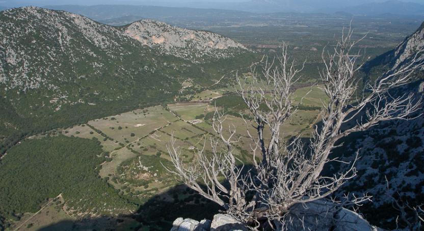
Related itineraries
Skip the Related itineraries slider and jump to the next section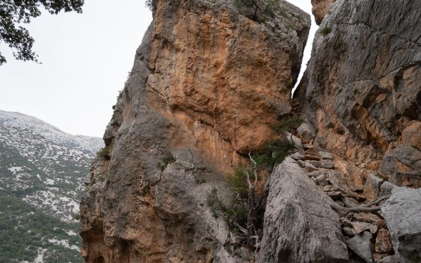
Opinions
No reviews yet for this path
