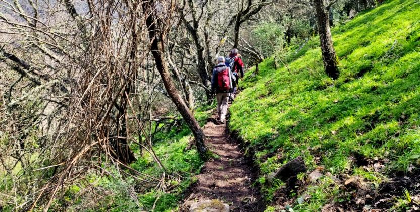
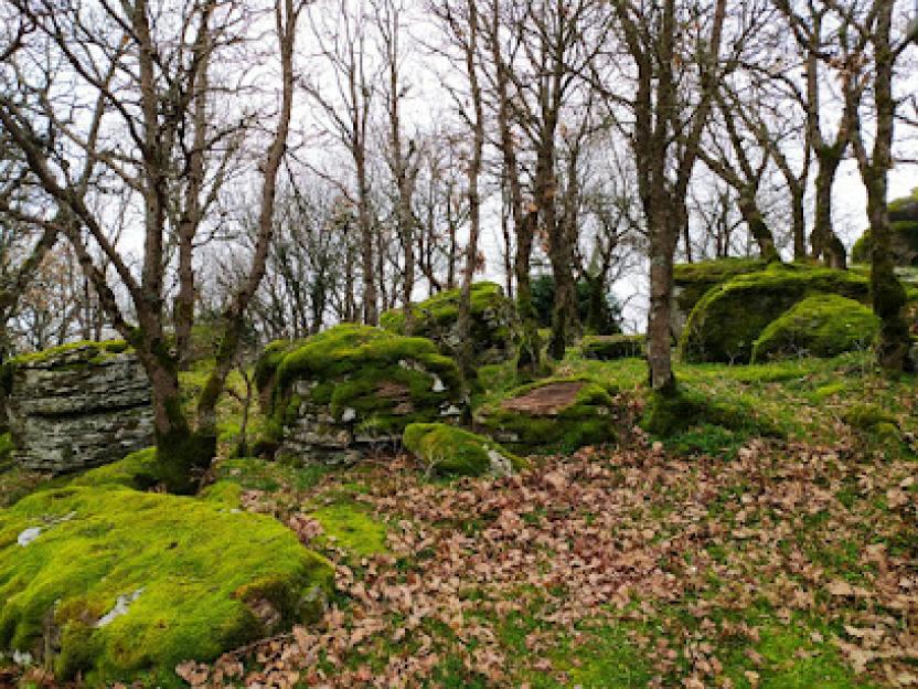
Marghine

Image credits CC: SA-A-NC Agenzia regionale Forestas
Marghine
: description
Màrghine is a sub-region of central-western Sardinia with a population of approximately 23,000 inhabitants, whose main town is Macomer.
It extends northward from the Abbasanta plateau and lies entirely within the province of Nuoro; it is crossed longitudinally by the mountain range of the same name.
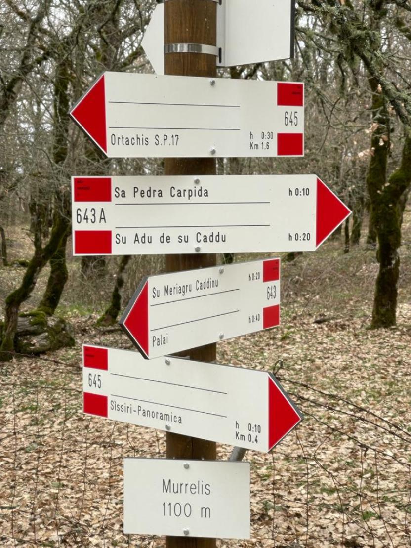
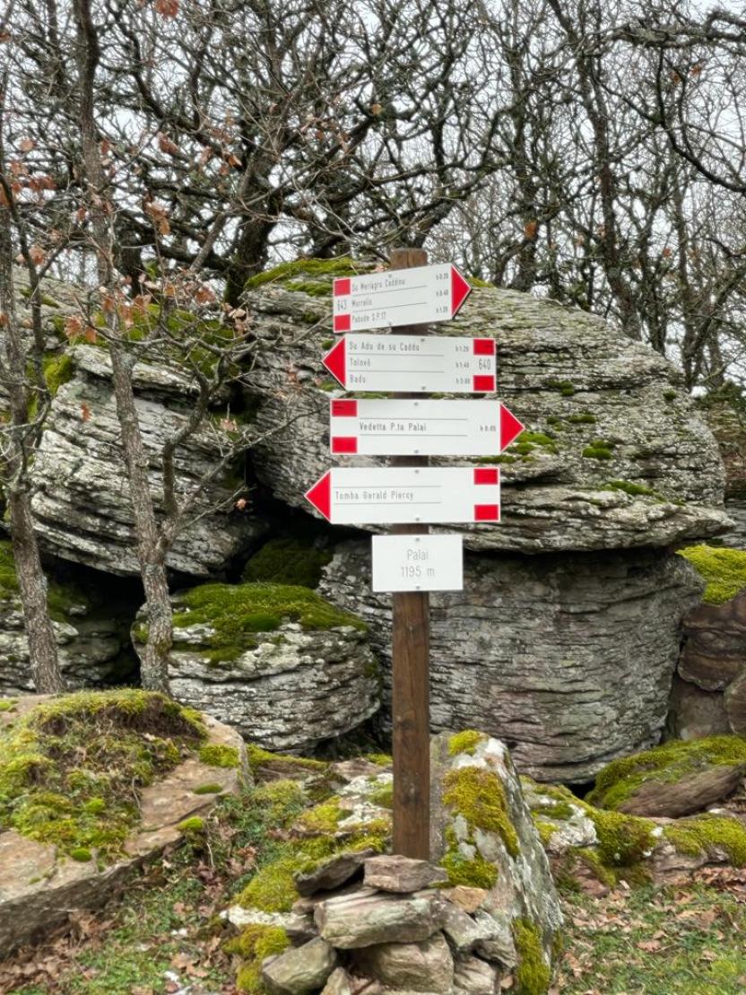
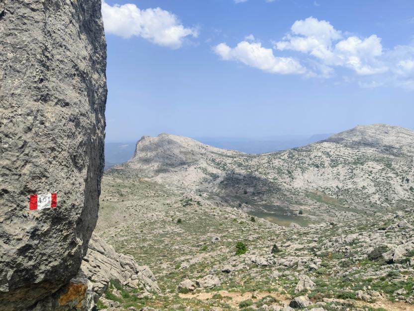
The area’s highest peaks are Mount Santu Padre (1,030 metres), Punta Lammeddari (1,118 metres) and finally the highest, Punta Palai, which rises to 1,200 metres above sea level.
It includes the municipalities of: Birori, Bolotana, Borore, Bortigali, Dualchi, Lei, Macomer, Noragugume and Silanus. The southern slopes of the mountain range are traversed by the SS 129 Trasversale Sarda road, which links the towns of Bortigali, Silanus and Lei; Bolotana lies not far from the road.
The Campeda plateau lies in the north-west of the region, with an average altitude of 650 metres, and is traversed by the SS 131 Carlo Felice road.
In this area you will find Mulargia, a small hamlet of Bortigali with a largely agro-pastoral economy. It is also the highest village in Marghine, located at an altitude of 700 metres.
The Burgos Forest, managed by the Sardinian Forestry Authority, lies in the north-eastern sector. The area also features numerous nuraghi, including nuraghe Orolo, nuraghe Ponte, nuraghe Santa Barbara, nuraghe Santa Sabina, nuraghe Orolio and nuraghe Corbos.
[Source: Wikipedia]