Màrghine is a sub-region of central-western Sardinia with a population of approximately 23,000 inhabitants, whose main town is Macomer.
It extends northward from the Abbasanta plateau and lies entirely within the province of Nuoro; it is crossed longitudinally by the mountain range of the same name.
The area’s highest peaks are Mount Santu Padre (1,030 metres), Punta Lammeddari (1,118 metres) and finally the highest, Punta Palai, which rises to 1,200 metres above sea level.
It includes the municipalities of: Birori, Bolotana, Borore, Bortigali, Dualchi, Lei, Macomer, Noragugume and Silanus. The southern slopes of the mountain range are traversed by the SS 129 Trasversale Sarda road, which links the towns of Bortigali, Silanus and Lei; Bolotana lies not far from the road.
The Campeda plateau lies in the north-west of the region, with an average altitude of 650 metres, and is traversed by the SS 131 Carlo Felice road.
In this area you will find Mulargia, a small hamlet of Bortigali with a largely agro-pastoral economy. It is also the highest village in Marghine, located at an altitude of 700 metres.
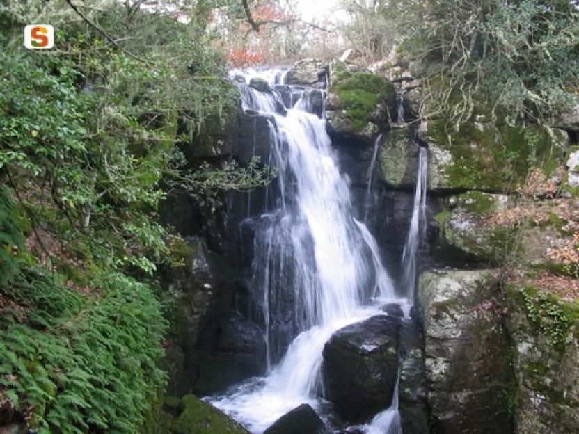
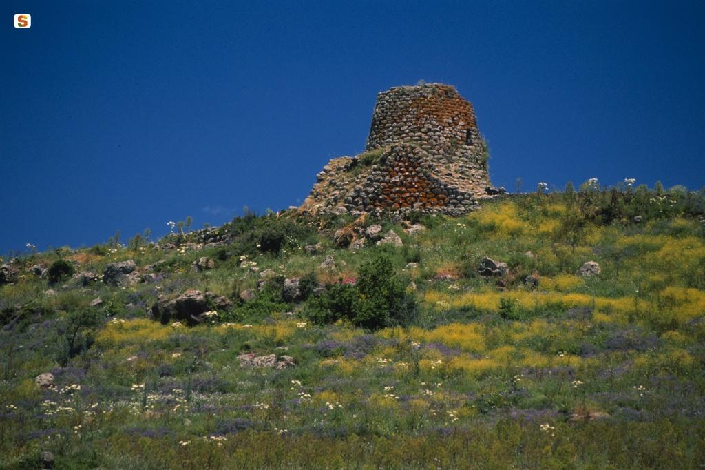
The Burgos Forest, managed by the Sardinian Forestry Authority, lies in the north-eastern sector. The area also features numerous nuraghi, including nuraghe Orolo, nuraghe Ponte, nuraghe Santa Barbara, nuraghe Santa Sabina, nuraghe Orolio and nuraghe Corbos.
[Source: Wikipedia]
Il Màrghine è una subregione della Sardegna centro-occidentale con una popolazione di circa 23.000 abitanti, il cui centro principale è Macomer.
Si estende a nord dall'altopiano di Abbasanta e ricade per intero nella provincia di Nuoro; è attraversato in senso longitudinale dalla catena montuosa omonima.
Tra le cime più alte si distinguono il Monte Santu Padre (1.030 metri), Punta Lammeddari (1.118 metri) e infine la più alta Punta Palai, che si eleva a quota 1.200 metri s.l.m.
I centri urbani che ne fanno parte sono: Birori, Bolotana, Borore, Bortigali, Dualchi, Lei, Macomer, Noragugume e Silanus. Lungo le pendici meridionali della catena montuosa corre la Strada statale 129 Trasversale Sarda, che unisce tra loro i centri abitati di Bortigali, Silanus e Lei; poco distante dall'asse viario si trova Bolotana.
Verso nord-ovest si estende l'altopiano di Campeda, posto ad un'altitudine media di 650 metri, ed attraversato dalla Strada statale 131 Carlo Felice. In questa zona si trova Mulargia, piccolo centro frazione di Bortigali, la cui attività economica prevalente ha carattere agro-pastorale. È inoltre il paese più alto del Marghine, posto ad un'altitudine di 700 metri.
Nella parte nord-orientale si estende Foresta Burgos, gestita dall'Ente Foreste della Sardegna.
Nella zona si trovano, inoltre, numerosi nuraghi, alcuni dei quali sono nuraghe Orolo, nuraghe Ponte, nuraghe Santa Barbara, nuraghe Santa Sabina, nuraghe Orolio e nuraghe Corbos.
(Fonte: Wikipedia)
slug
marghine