Mamutorco - Coile Cincideddu (B 535)
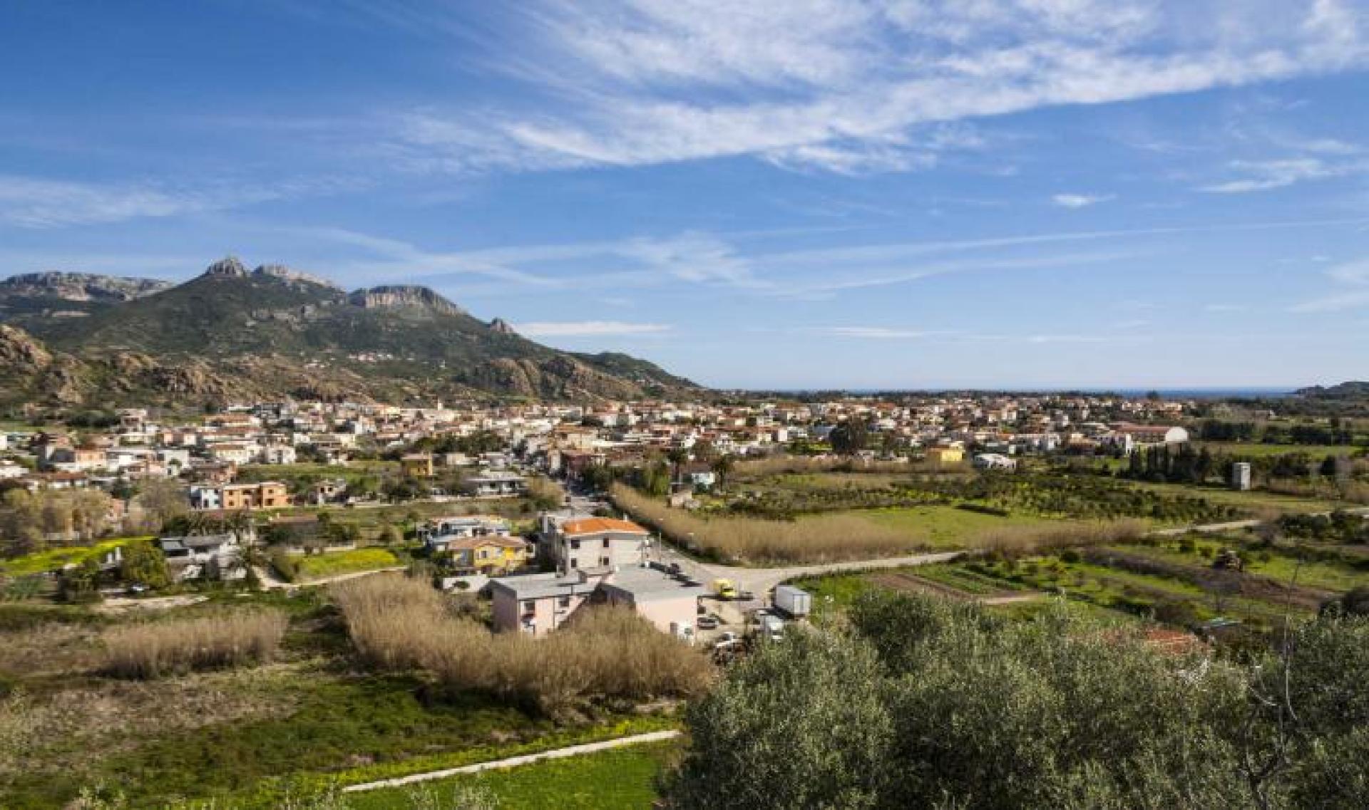
Image credits SardegnaTurismo
The pathway
Roadbook
It starts from the locality of Mamutorco (225 m asl), on a dirt track running parallel to Riu Mamutorco and crossing an area with mixed coniferous forest and Mediterranean species; this stretch is about 1.7 km and has a slope that is on average less than 10%; the portion of dirt track ends in Genna Olidone (305 m above sea level).
From here you enter on a trail/ mule track of about 0.7 km total, the first 500 m have a slight slope and lead to the bed of the Riu Bacu Seada; the next 0.2 km with a rise cross the riverbank and leads to the locality Coile Cincideddu (301 m.s.l.), where we find the eponymous sheepfold and where this path ends.
After Coile Cincideddu you can continue with a short path the B-534A (0,5 km) that leads to the south to the path B-534-Mundugia (4,0 km).
Trail data and altimetry

Photogallery
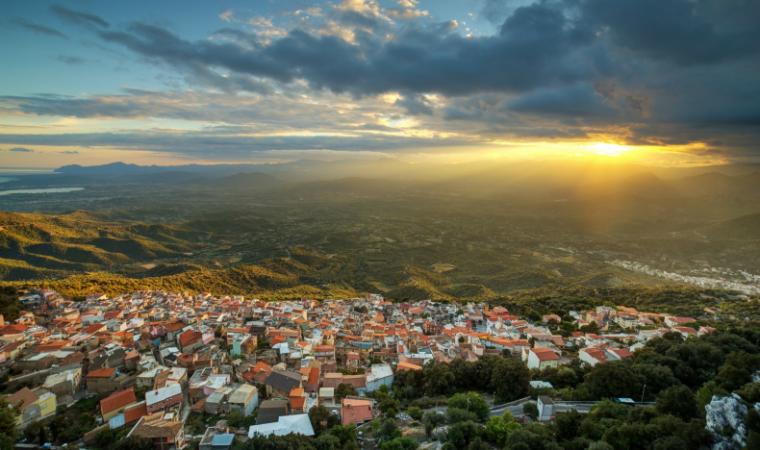
Triei paese
SardegnaTurismo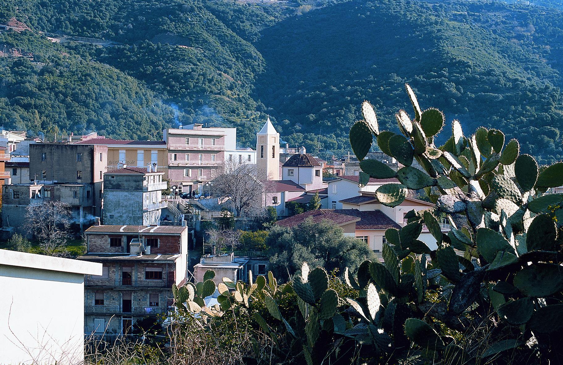
Triei
GAL OgliastraDownload trail documentation
Opinions
No reviews yet for this path
