Grathiana - Funtana Filigi (B 545 A)
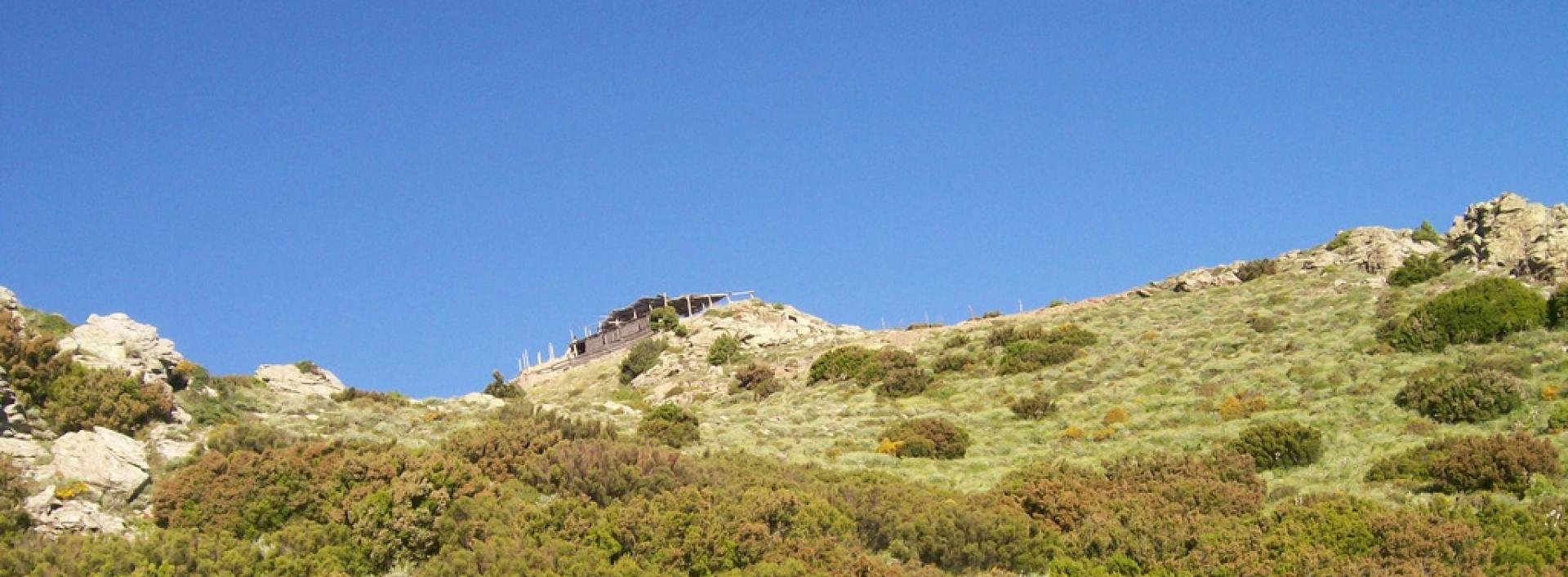
Image credits Sardegna Digital Library
The pathway
Trail data and altimetry

Photogallery
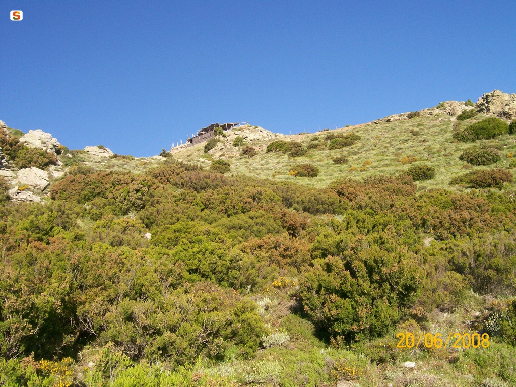
Talana, vedetta di Olinie
Incollu GiampieroSardegna Digital Library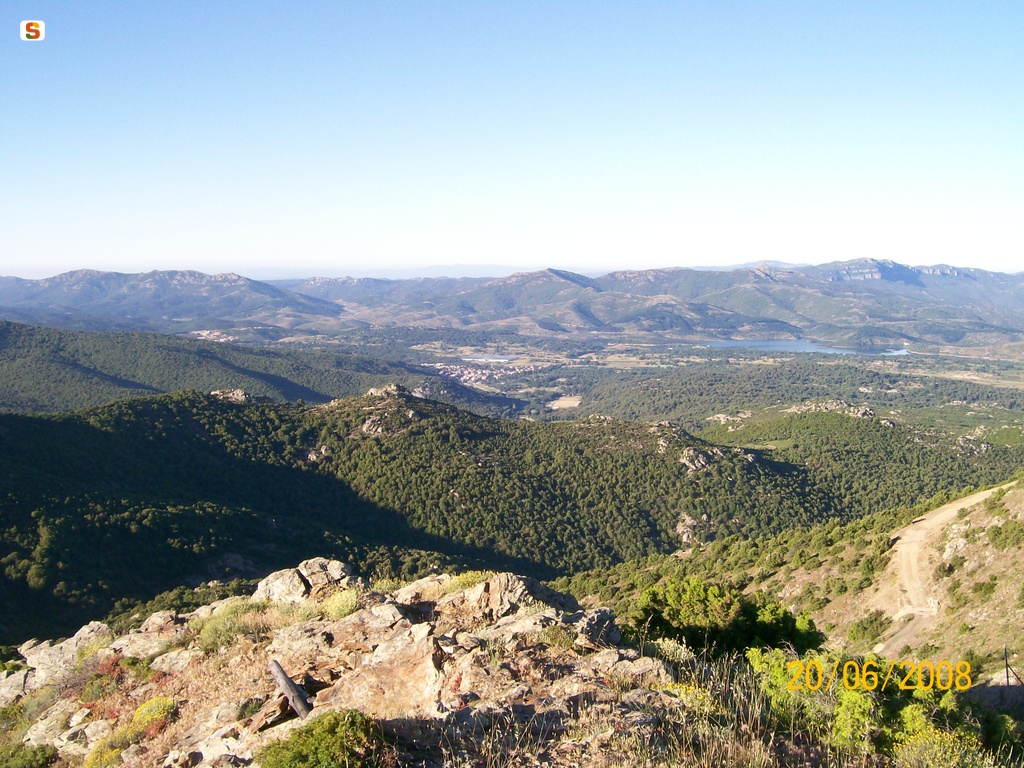
Talana, vista panoramica dalla vedetta Olinie
Incollu GiampieroSardegna Digital Library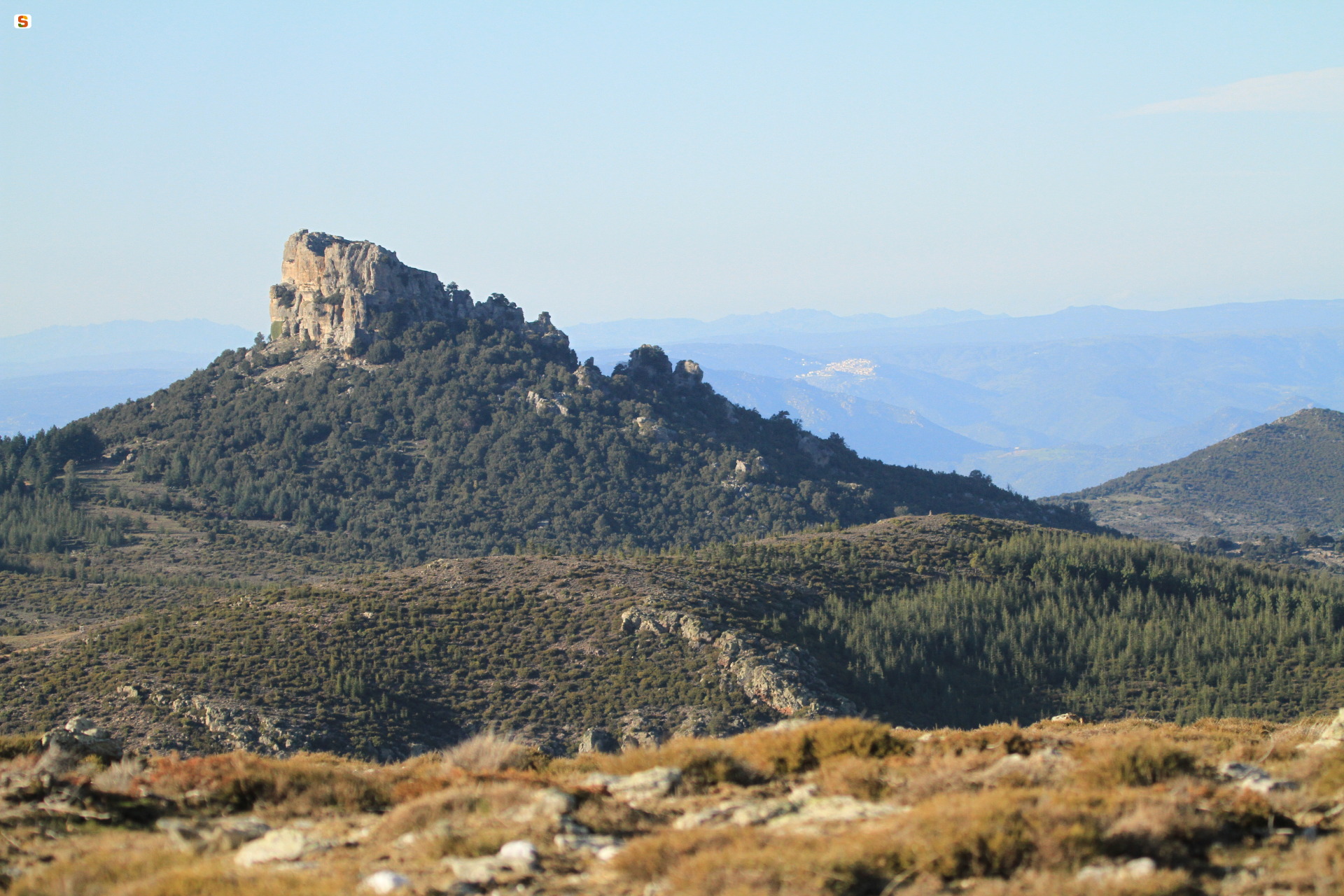
Monte Novo San Giovanni visto da Talana
Secci DionigiSardegna Digital Library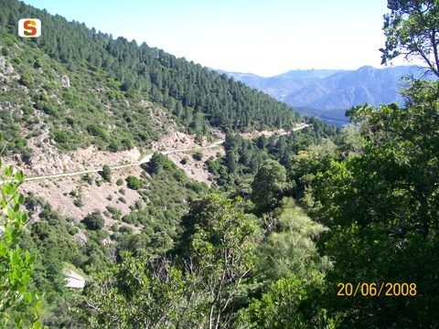
Talana, vista panoramica lungo il sentiero B-531 foto di Giampiero Incollu.jpg
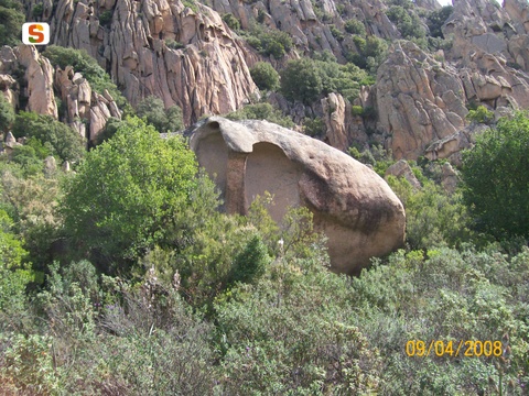
talana tafoni giampiero incollu 2.jpg
Download trail documentation
Opinions
No reviews yet for this path
