The pathway
Roadbook
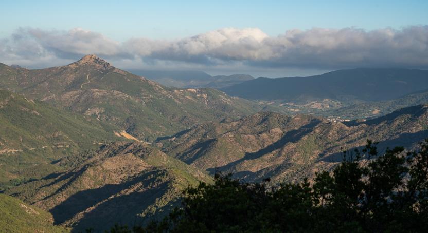
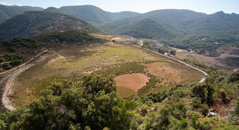
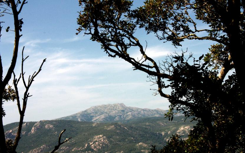
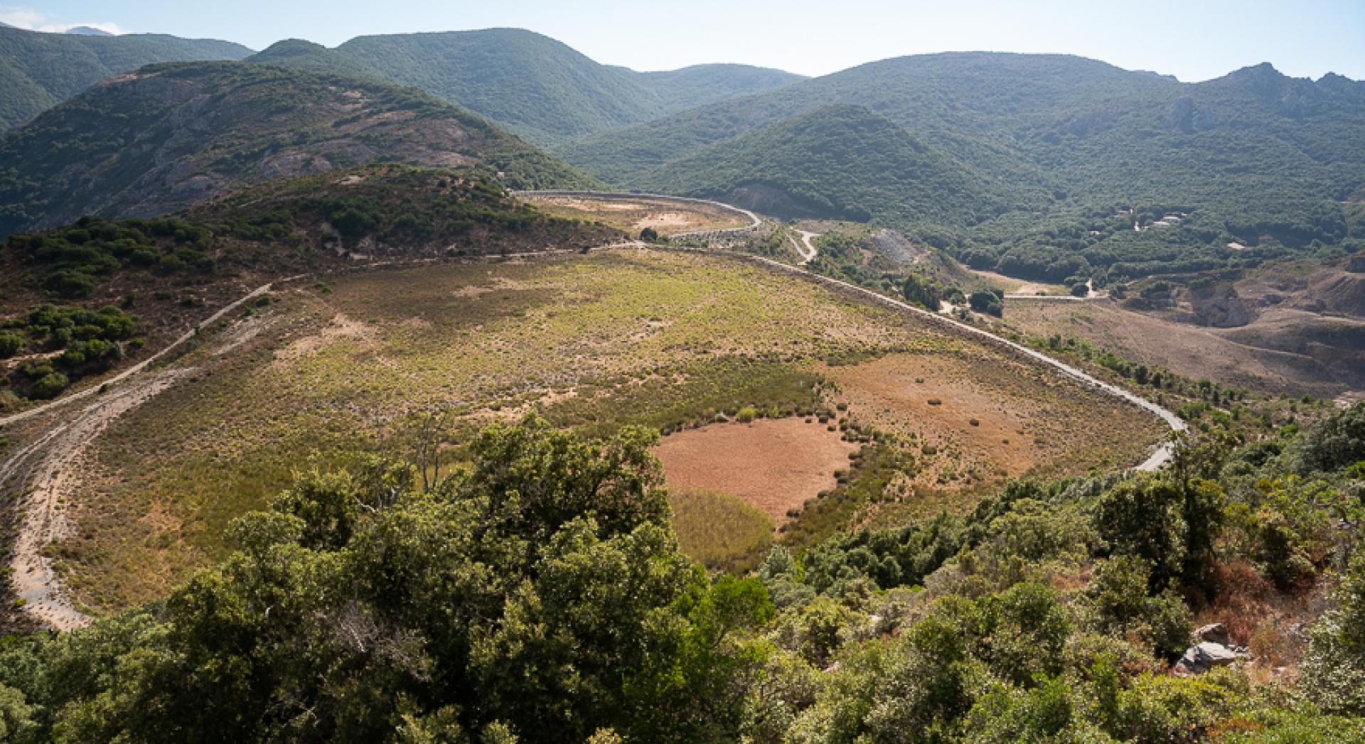
Leaving behind the impressive reservoirs of Arenas - Tinnì, following a pleasant dirt road through the woods that cuts across the slope uphill in a north-easterly direction, you can take in beautiful views over Tinnì. The dirt road reaches the summit and starts to descend near the crossroads with trail 336A, after which you'll encounter other crossroads with dirt roads.
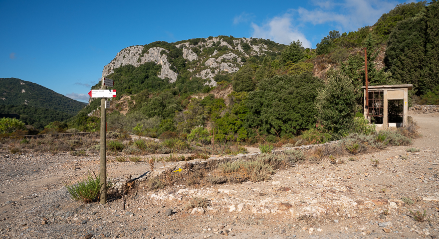
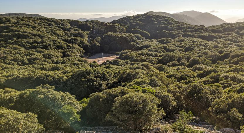
The path continues through dense woodland, remaining high above the Rio Bolentino, and gradually bearing south near the thalweg of Perdu Marras and reaching the bottom of the gully without leaving it, as it leads you slightly uphill. At the top of the ascent you reach Nebidedda, where vertical signs keep you on track through a maze of dirt roads. Slightly to the south of the trail, you’ll encounter the paths of trails 330 and 327.
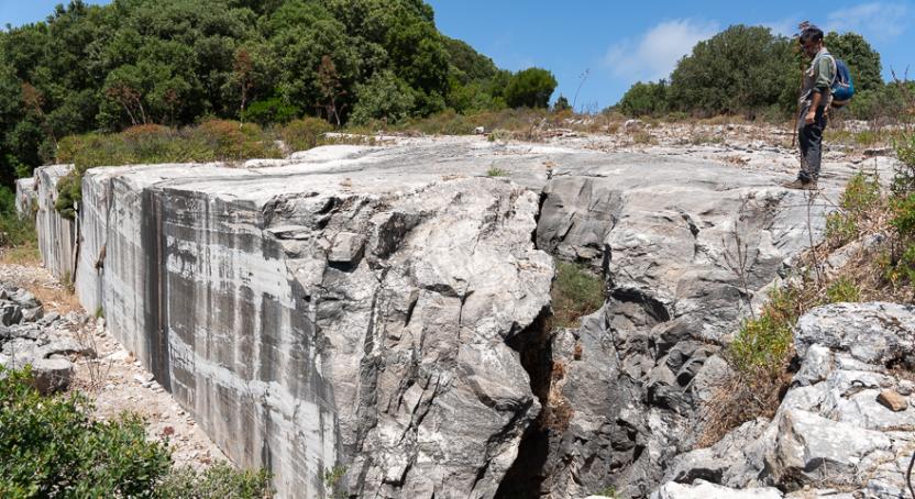
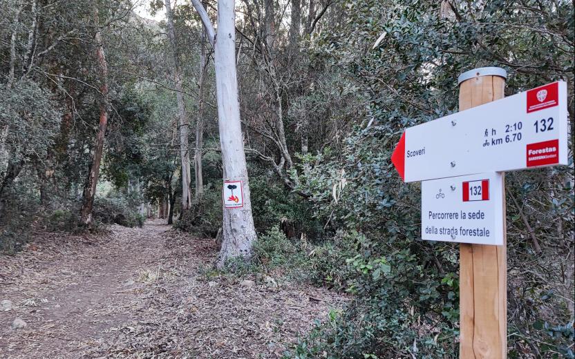
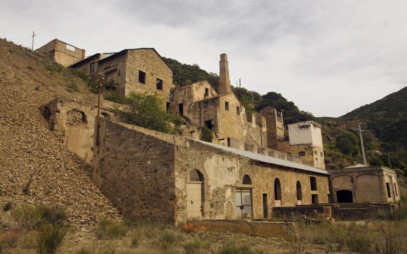
Continuing in an easterly direction, you pass the intersection with trail 332a and start to descend: here you’re surrounded by old mining sites, now swallowed up by the forest, though along the way, if you’re keep your eyes peeled, you may well spot signs of their presence. The track skirts a section of forest where experimental felling has been carried out, proceeding downhill via a thalweg, as you now glimpse the wide valley of the rio Oridda which you reach at Scoveri.
Trail data and altimetry
Photogallery
Download trail documentation
Opinions
Reviews
Cicloescursionista del Marganai
Questo percorso è una meraviglia! arrivato a Scoveri ho proseguito fino a cantina ferraris seguendo anche il sentiero 132 del Linas...paesaggi stupendi! Consigliatissimo anche un altro tracciato, guadando il rio oridda e salendo verso l'alta via, ho raggiunto uno splendido punto panoramico sulle cascate del rio ORidda (PISCINA IRGAS)...da qui non è possibile scendere in bici alla base delle cascate, ma il panorama dall'alto è immenso!
Jamesbyday
проверка seo сайта
<a href=https://razrabotkaiseo.ru>https://razrabotkaiseo.ru</a>


