The route was created as part of a collaboration between the GAL Ogliastra and the FoReSTAS Agency, with the aim of offering hikers an immersive experience in the natural and scenic beauty of the Ogliastra area. The itinerary features points of interest along every section. You can choose your starting stage and build your own customized route, traveling from north to south or from south to north. The direction of travel may change, but the quality of the landscape remains unchanged.
The path
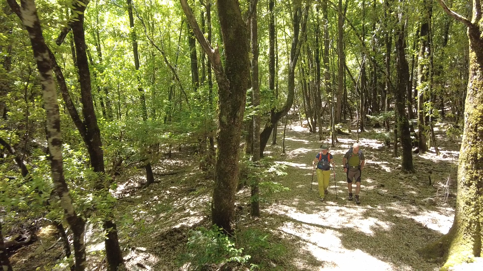
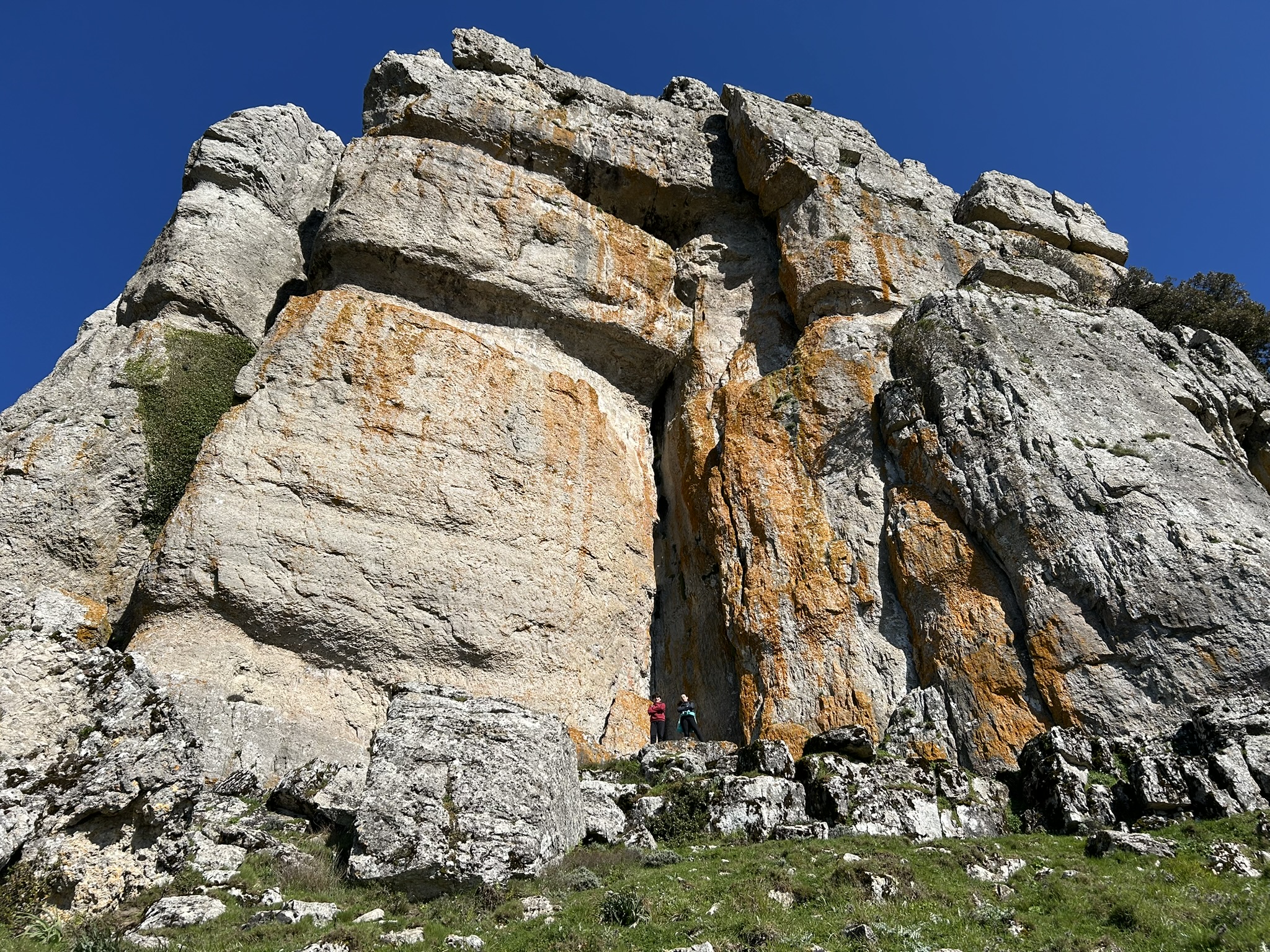
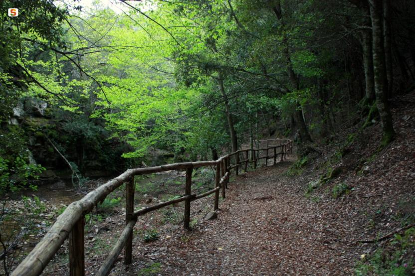
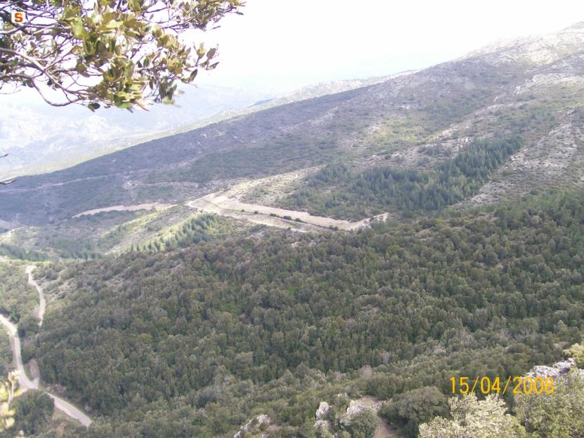
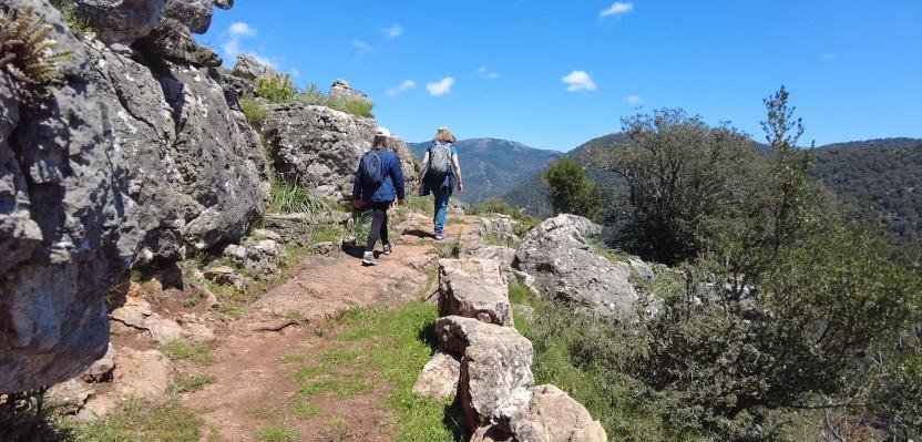
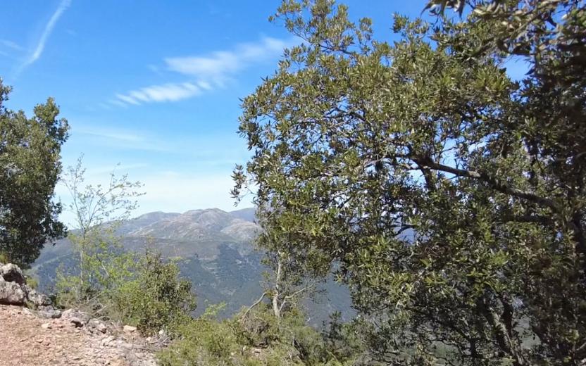
The path offers moments of quiet alternate with opportunities for active discovery, among limestone cliffs, climbing routes, and via ferratas.
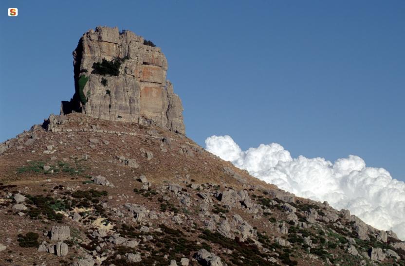
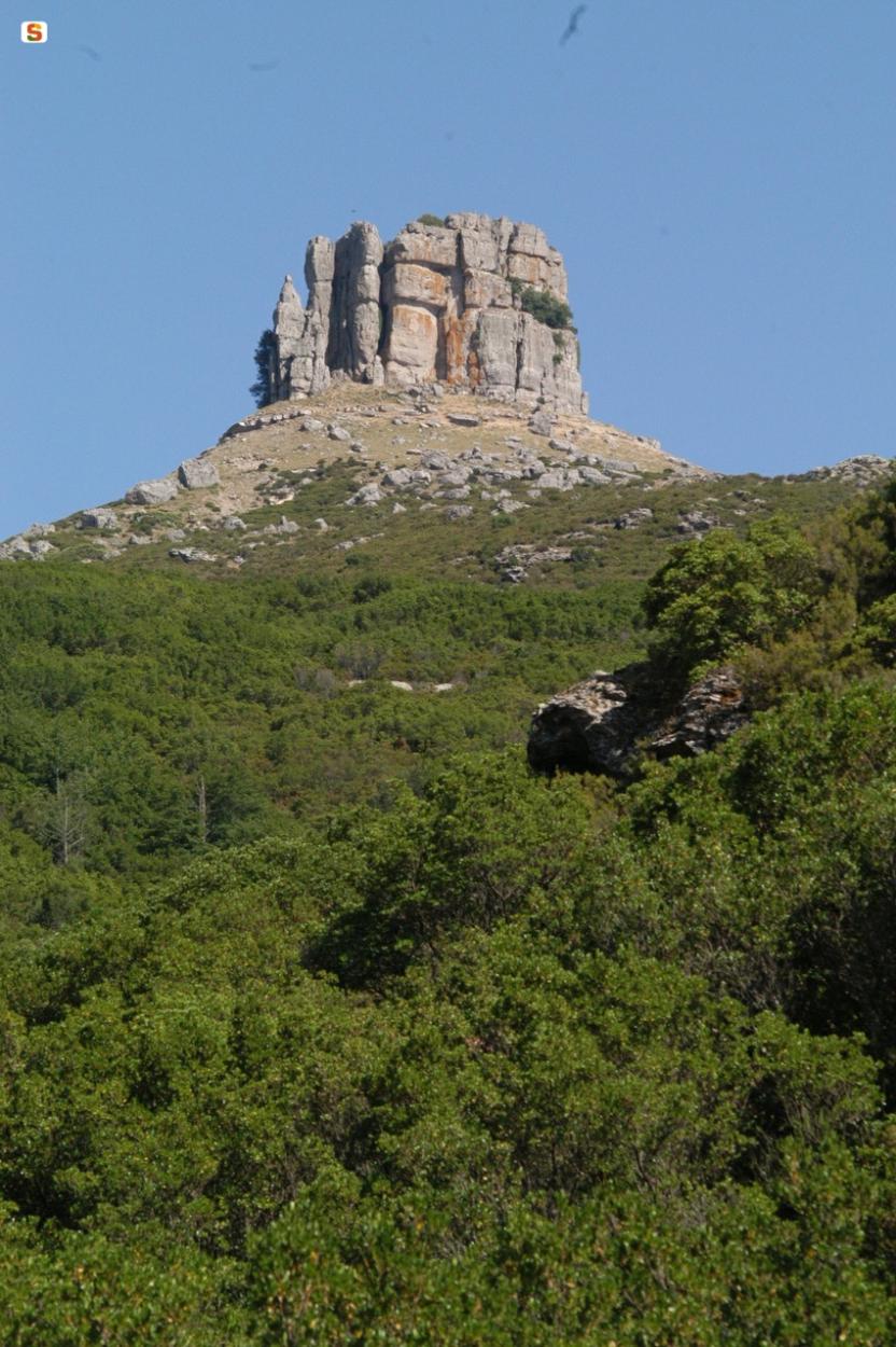
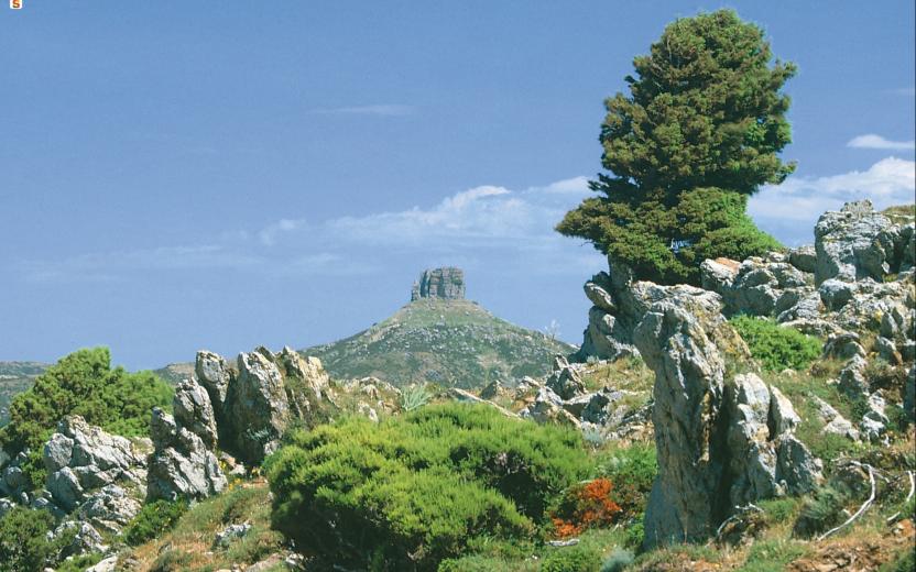
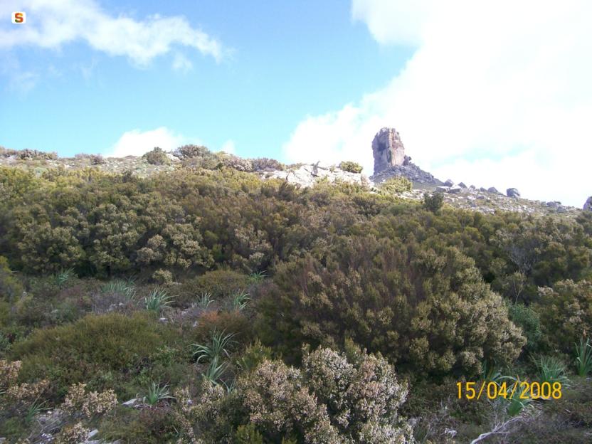
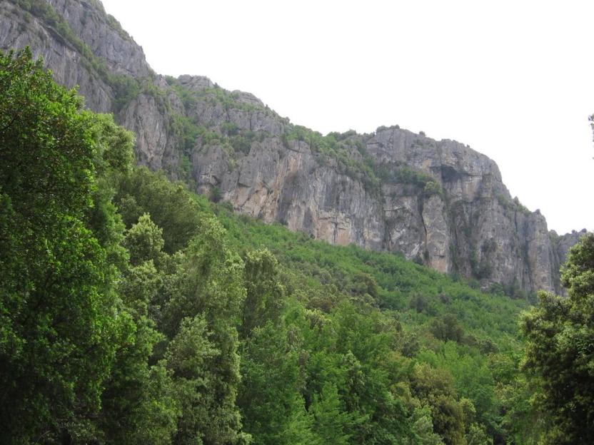
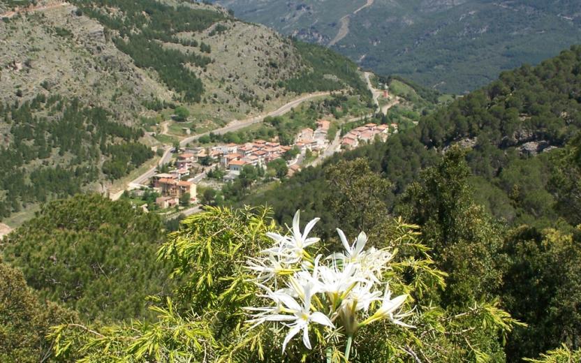
The route passes through places full of charm such as the Scala di San Giorgio (16), the abandoned village of Osini Vecchio (17), stone sheepfolds immersed in greenery, and important archaeological sites like Serbissi (30). The landscapes continually change: from olive groves and agricultural inland areas to dolomitic formations and holm oak forests, up to limestone plateaus from which the majestic Perda Liana (37) can be glimpsed. The journey crosses shady and lush environments such as the Montarbu Forest (35), leading to the clear waters of the Niala Pools (Ussassai). It is a path that invites slowness, a sensory immersion into the most authentic Sardinia, among unspoiled nature, ancient memories, and silences that tell stories. The final stage of the journey, long and demanding, represents the most intense synthesis of the entire route. It winds through the Montarbu Forest (35), climbs to Punta Margiani Pubusa (36) with its spectacular panoramas, and skirts closely to the majestic Perda Liana. Among panoramic peaks like Cuccuru ‘e Muvroni (38) and Erdorrù (39), and stretches overlooking the Alto Flumendosa Lake, the trail alternates descents and steep climbs until reaching the vicinity of the SIC Rio Sicaderba, where a restored old railway station marks the end of the path.
From Niala to Villagrande Station
A long and demanding stage, requiring good physical preparation. Yet, it is also one of the most rewarding stages in terms of environment and landscape, capable of offering continuous emotions to those who undertake it.
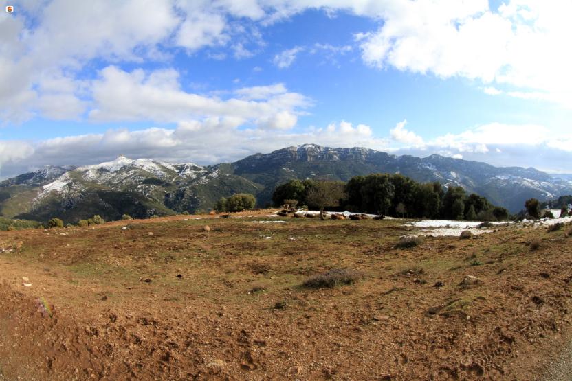
The journey begins in the Montarbu Forest (35), one of the most important and picturesque forests in Sardinia. Here, you walk surrounded by the shade of majestic holm oaks, hornbeams, and yews, along paths following the course of the Rio Cambiadorgios. Even during dry periods, the landscape does not lose its charm, thanks to the varied morphology created by the limestone formations.
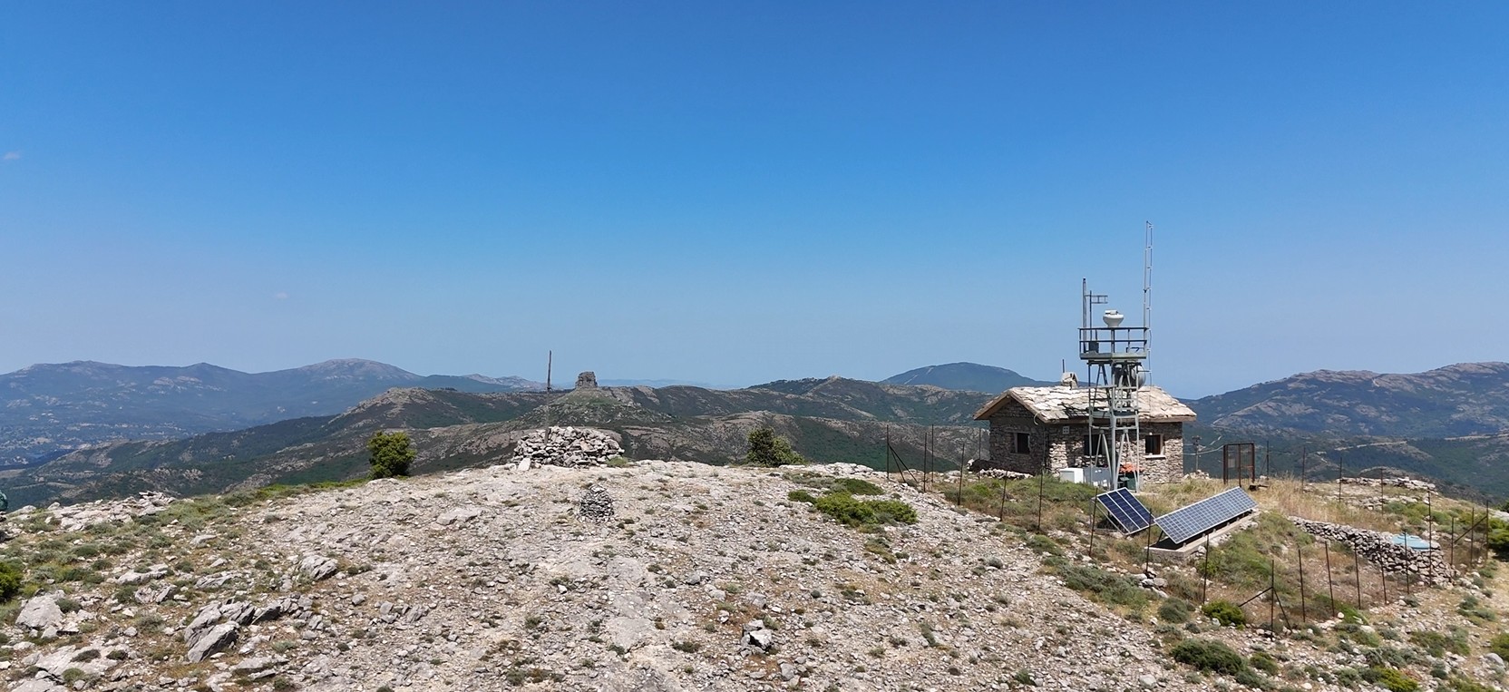
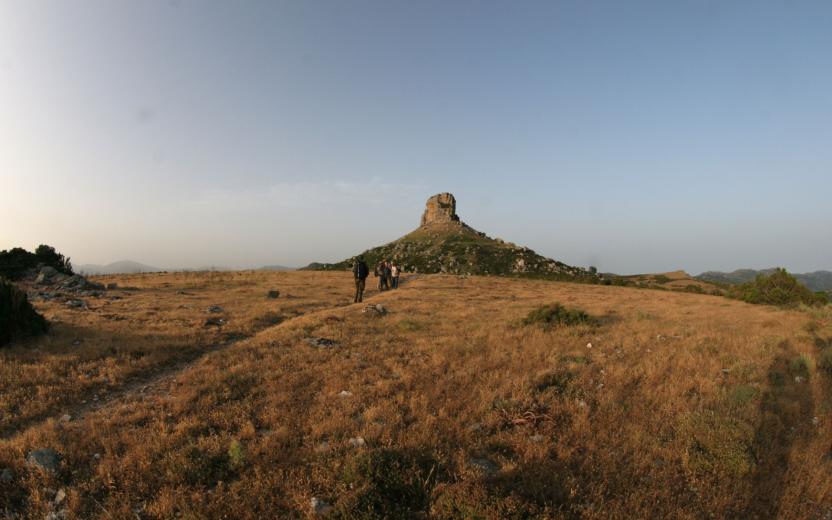
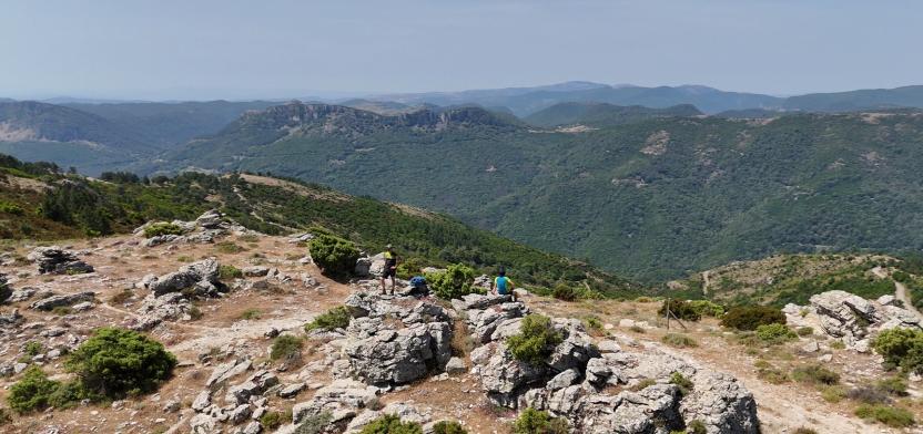
After crossing the forest and already overcoming about 650 meters of elevation gain, you reach Punta Margiani Pubusa (36), at 1,324 meters above sea level, where a breathtaking 360-degree panorama unfolds: your gaze embraces the Gennargentu massif, reaches as far as the province of Cagliari, and gets lost in the rough and wild morphology of the island, devoid of visible settlements. The descent leads towards one of Ogliastra’s symbols: Perda Liana (37), a majestic limestone taco (“heel”) closely skirted along the trail. The most eager hikers can make a slight detour to reach its base, an experience that adds extra charm to the hike. The route continues with an ascent towards Cuccuru ‘e Muvroni (38) and Erdorrù (39), peaks offering spectacular views over the interior of Ogliastra and the Alto Flumendosa Lake, framed by forests and mountain pastures.
After passing these summits, the trail descends before tackling the final challenging climb, which precedes the last descent to the stage endpoint, located near the Natura2000 Site Rio Sicaderba, named after the river that crosses it.
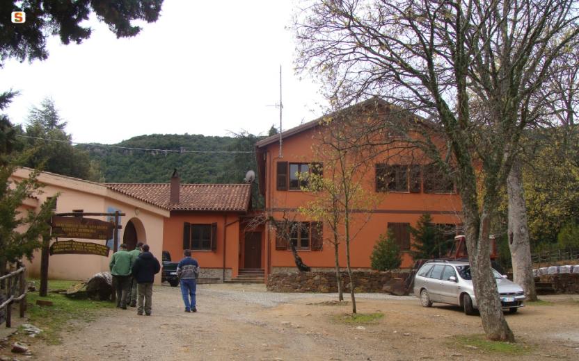
Here you will also find an old renovated railway station, a historical testimony of the narrow-gauge network that once crossed the island, designed mainly for freight transport rather than passengers.
Tips
This stage is quite demanding, especially depending on the time of year it is undertaken.
It is important to consider that along the route there are some water springs up to the Fo.Re.S.T.A.S. station. Once you leave the station, the only accessible point for possible rescue by operators or support vehicles is at Pinningassu, about 12 km from the starting point in Niala (Ussassai).
Some sections of the route may be difficult to follow intuitively; therefore, the use of the GPX track is strongly recommended.
Careful planning is advised, bringing adequate water supplies and avoiding hiking during the hottest hours of the day or particularly hot days.