
Start website main content

Orienteering and other "outdoor"

2 itineraries

Routes for engaging in exploration or observing nature. Educational adventures for the little ones, but also birdwatching, orienteering, and other fun activities for the older ones: contact with nature, when experienced with respectful attention to its inhabitants, is very rewarding...
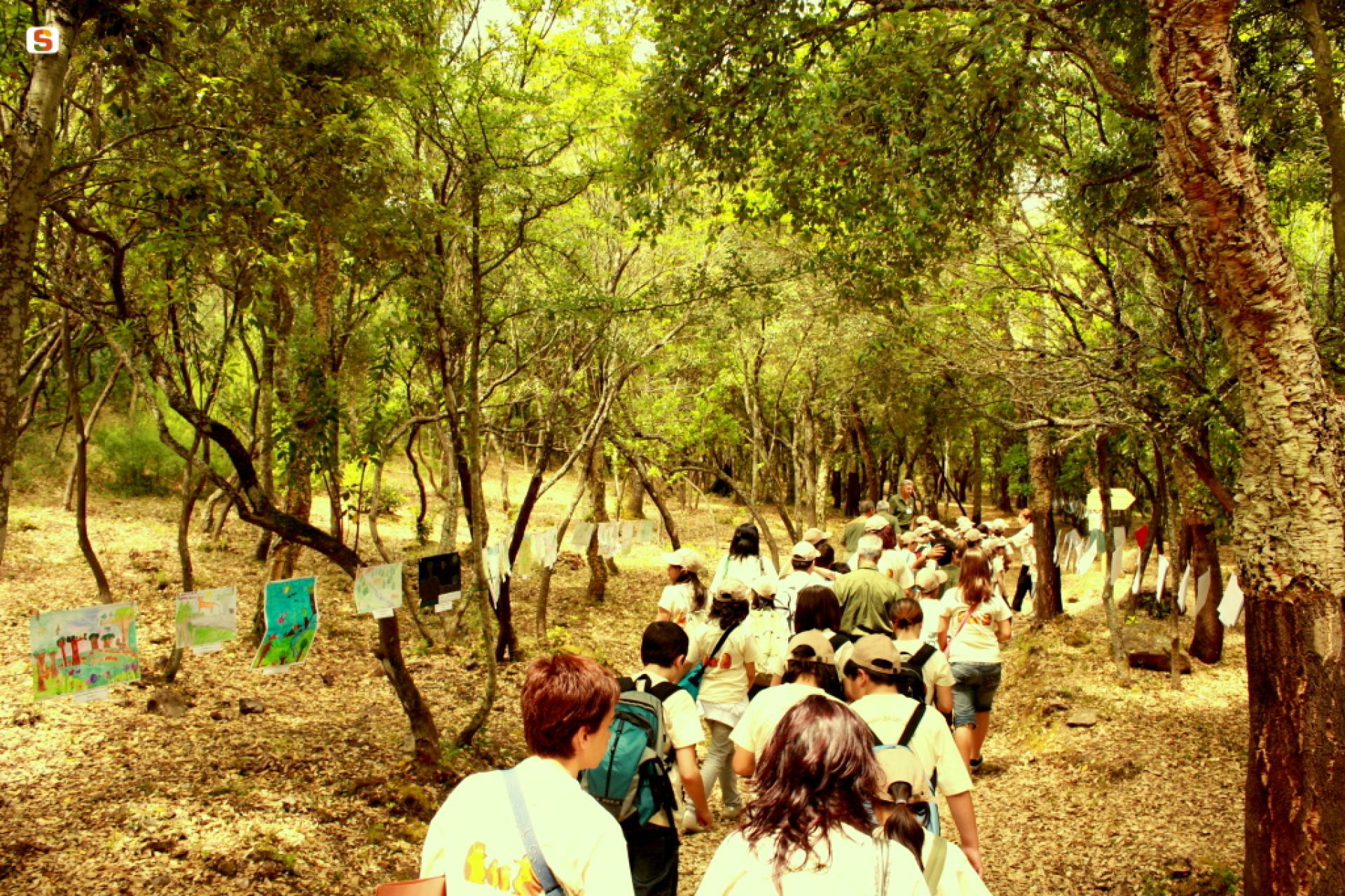
17_226_20090608142359.jpg

Results

Riu Cannisoni - Genna Su Padenti (Togoro) D-101

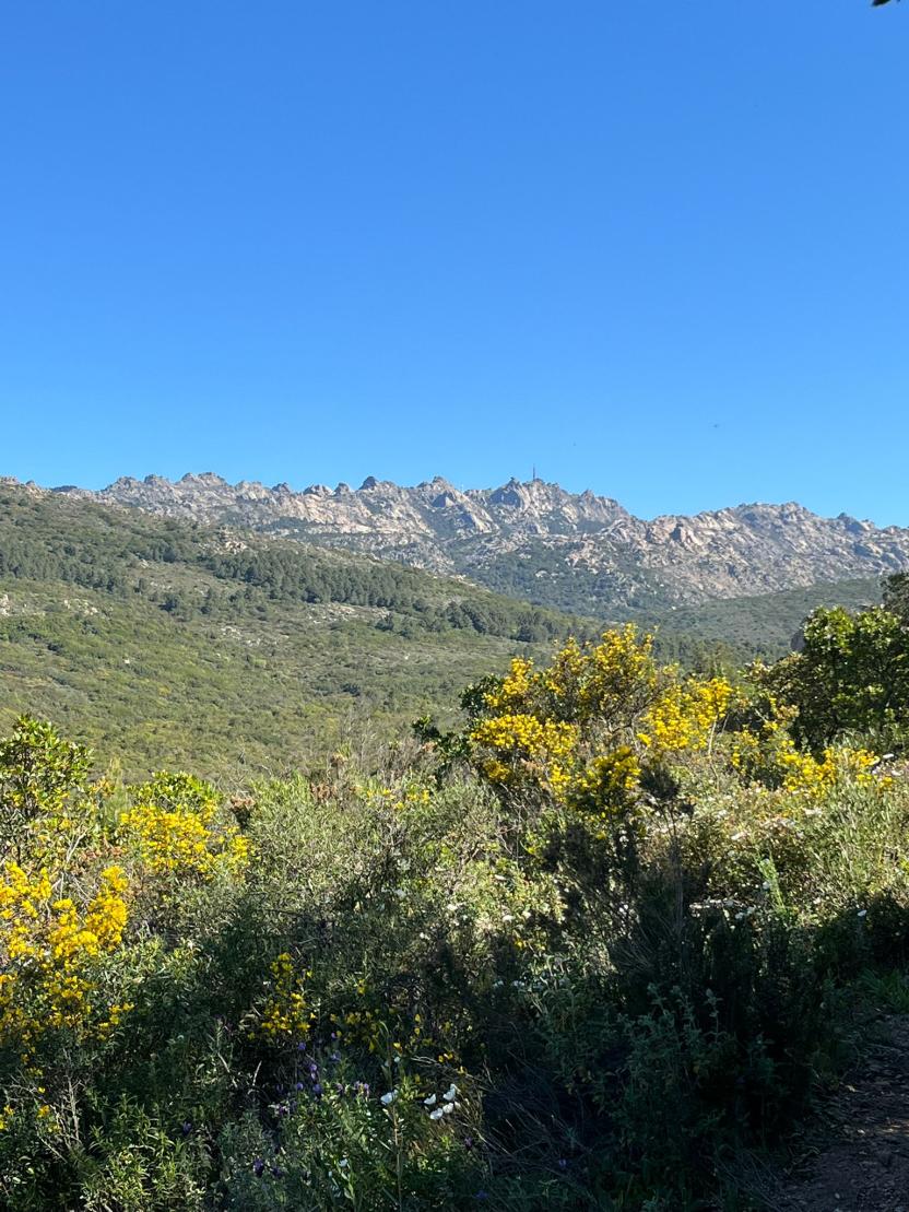
long connecting path between the towns of Villacidro and Gonnosfanadiga, in the western portion of the Linas massif. Among the places it covers we should mention the upper Oridda valley, which connects the Linas trail network with that of Marganai and then heads towards Arenas. Instead, the trail continues on the ridges of Muru Mannu and Monte Lisone.

WARNING!

In 2021, the Forestas Agency, in cooperation with the Cagliari CAI (Italian Alpine Club), carried out checks and maintenance activities on the trail, including signposts and waymarkers. The trail, which was previously labelled 101, will probably be renamed in the new Sardinia Trail Network Register with number 100. 

MAIN FEATURES AND TIPS FOR ENJOYING THE TRAIL

The route is moderately strenuous, as the overall difficulty, distance, steep slopes, uneven and loose terrain and length can be challenging: therefore it is recommended for physically fit and experienced hikers.

  • It is important to carry a good amount of water, especially in summer and late spring.
  • In heavy rain, in light of the area’s terrain these trails are very exposed to the impact of bad weather.
  • Given the heights reached, in case of low clouds, fog or unstable weather, you might encounter low visibility conditions along the route making orientation difficult. 
Informazioni utili

Along the route there may be no cell service.

Roadbook

The trail starts near the bank of the Riu Cannisoni stream, near the junction with Trail 112. You will walk on a wide, well-marked mule track that soon leads to crossing the stream over a small wooden bridge, then continue on the right, parallel to the course of the stream. The trail continues on level ground, under scattered holm oaks, until it reaches the Fonte s’Acqua Frischedda spring, now entirely underground.

Data Rilievo

Path lenght 12.100 m

Path designer Agenzia Fo.Re.S.T.A.S. (ex Ente Foreste Sardegna)

Maintainer Agenzia Fo.Re.S.T.A.S. (ex Ente Foreste Sardegna)

CAI code D-100

Minimum altitude 421 metri

Maximum altitude 1.041 metri

Total elevation gain 911 metri

Contiene carte
Spento

Riu Cannisoni - Genna Su Padenti-Togoro (D 100)

Un lungo sentiero di raccordo tra i comuni di Villacidro e Gonnosfanadiga, nella porzione occidentale del massiccio del Linas.
Tra i tanti luoghi percorsi occorre citare l’alta valle dell’Oridda che permette di connettere significativamente la rete dei sentieri del Linas a quella del Marganai e dirigersi quindi verso Arenas.  Il sentiero prosegue invece sui rilievi della zona di Muru Mannu e del Monte Lisone.

ATTENZIONE!

Nel corso del 2021 per la segnaletica orizzontale e verticale e per la traccia sono in corso verifiche e manutenzioni del percorso da parte dell'Agenzia Forestas, in collaborazione con il CAI di Cagliari.  Il sentiero, tradizionalmente noto con il numero 101, verrà probabilmente rinominato nel nuovo Catasto Regionale della R.E.S. con il numero100. 

CONSIGLI E CARATTERISTICHE SALIENTI

L'itinerario risulta impegnativo, e nel complesso la difficoltà, i chilometri, le pendenze assai elevate, il fondo sconnesso e pietroso, ed i tempi di percorrenza possono risultare provanti: pertanto è consigliato a persone allenate ed esperte.

  • Risulta importante portare con sé una buona riserva d'acqua, specie nella stagione estiva e tardo-primaverile.
  • In occasione di precipitazioni meteo particolarmente intensi, la conformazione dell'area rende questi sentieri particolarmente esposti alle intemperie.
  • Considerate le quote raggiunte, in presenza di nuvole basse, nebbia o perturbazioni potrebbero sopraggiungere lungo il percorso problemi di visibilità tali da rendere difficoltoso l'orientamento; 
Informazioni utili

Lungo il percorso potrebbe non essere presente alcun segnale telefonico.

Roadbook

Si parte nei pressi del greto di Riu Cannisoni, in prossimità dell’incrocio con il sentiero 112. Si cammina su una mulattiera ampia e ben segnata che porta in breve a guadare il rio su un ponticello in legno, riprendendo poi sulla destra, parallela al corso del fiume. Si prosegue in piano, sotto una lecceta rada, fino a giungere nei pressi della Fonte s’Acqua Frischedda, oggi interrata.

Data Rilievo

Path lenght 12.100 m

Path designer Agenzia Fo.Re.S.T.A.S. (ex Ente Foreste Sardegna)

Maintainer Agenzia Fo.Re.S.T.A.S. (ex Ente Foreste Sardegna)

CAI code D-100

Minimum altitude 421 metri

Maximum altitude 1.041 metri

Total elevation gain 911 metri

Contiene carte
Spento