Long-distance hiking itineraries (in stages)
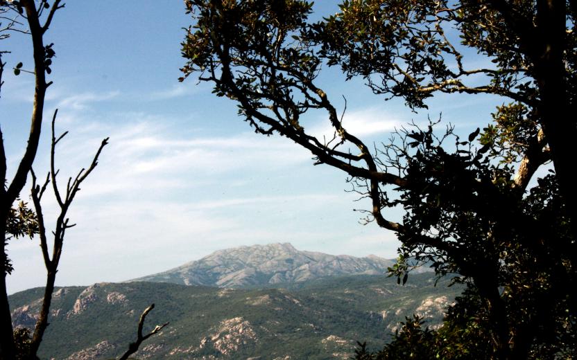
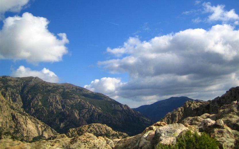
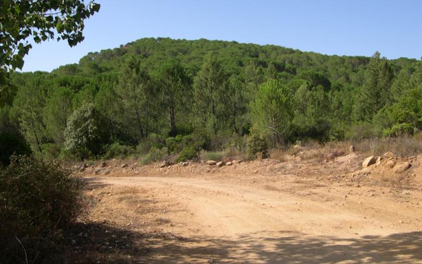
For shoes full of steps! Not just "Sentiero Italia" with its 28 stages along the authentic eastern ridge: many other routes to explore the wildest - and therefore most evocative - places of the island. Routes identifiable in the signs of the official routes of the RES Cadastre, standardized by trail arrows and white-red flags. They cross the most spectacular scenery: Supramonte, Ogliastra dei Tacchi, Bosa-Villanova-Alghero coast, Nurra, Argentiera, Limbara, Montalbo, Settefratelli, Linas-Marganai, Gutturu Mannu...
Arm yourself with energy, courage and the desire to discover, but accompanied by expert people or guides!

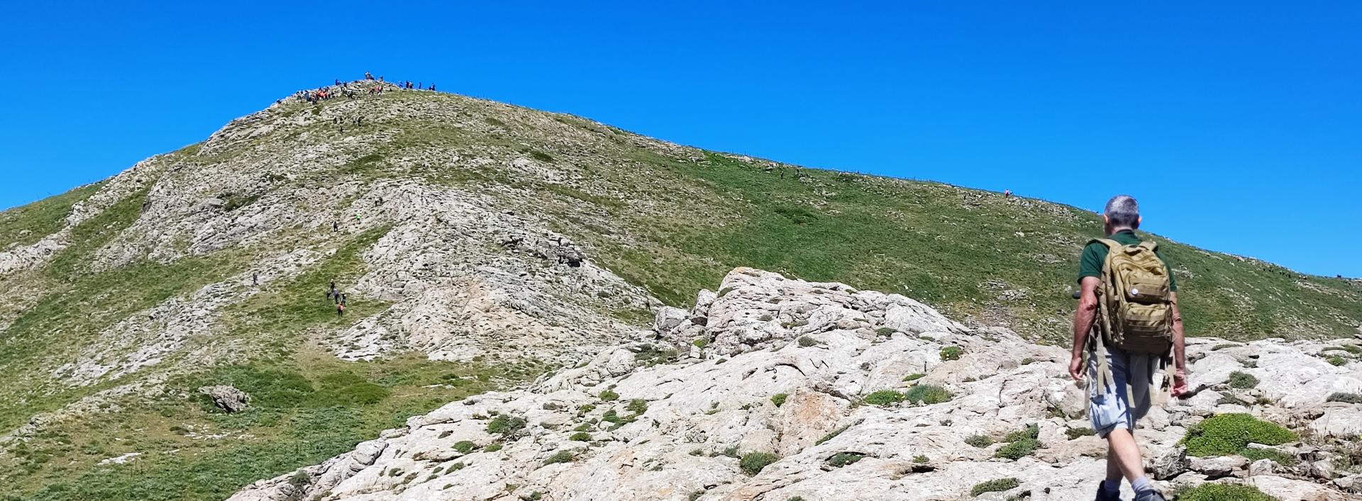
Image credits Agenzia regionale FoReSTAS
Results
Itineraries CMSB – TAPPA 9: DA PERD’E PIBERA A VILLACIDRO
Marina di Tertenia - Foresta Bingionniga (C-102)
The trail network in Ogliastra extends for about 440 km. In the Monte Ferru area, the total length of the hiking trails is approximately 45 km, all of great scenic value, with a focus on coastal areas and having as key landmarks the summit of punta Cartucceddu, also known - on the sea side - as Capo Sferracavallo, and Monte Ferru at Cardedu.
The Monte Ferru area extends for approximately 5,000 hectares and includes many naturalistic, geological, cultural and archaeological points of interest: indeed, over 50% of the Monte Ferru area falls within the Site of Community Importance of the same name (Special Area of Conservation). The vegetation is characteristic of the coastal forest of Quercus ilex (holm oak) and olive and carob tree forest, with Mediterranean shrubs and juniper trees. The area is inhabited by an endemic Sardinian newt - the Sardinian mountain newt (Euproctus platycephalus) - an endangered species.
Terrain and main features of the territory
The area has 3 main mountain masses, consisting of the classic baryte veins of Monte Ferru and red porphyritic granites. The largest mass has two main peaks: Monte Ferru (820 m asl) and Punta Ingannadori (860 m asl); another smaller relief, further south, culminates in the peak of Punta Cartucceddu (598 m asl); the westernmost relief is dominated by Monte Tortu (641 m asl).
The only year-round (perennial) watercourse is the Riu Badde e Gattiu, which forms the characteristic natural freshwater pools at the Is Piscinas locality (80 m asl).
The coastal route crosses a beautiful red porphyry cliff interspersed with several beaches, including the Su Sirboni beach (with fine white sand) and Cala e’ Luas and Coccorrocci (with pebbles). In the past, the area (in particular the whole stretch between Perda e’ pera and Punta Cartucceddu) was put to various uses, mainly pastoral, some of which are still practised. The extent of shepherding in the area is witnessed by the names of various localities, such as Cuile Mulas, Cuile Tentu, Cuile Baccu e Praidas, Cuile Lispeddas [cuile:=sheepfold].
The felling of wood for charcoal production was also widespread, as evidenced by the various charcoal terraces found along the paths.
The main archaeological sites are Nuraghe Perdu (25 m asl) and Nuraghe Genna Didu (260 m asl).
The trail network as a whole
The trail network in this area will enable you, with a loop itinerary, to discover the natural beauty of Monte Ferru. The loop - consisting of Trails C-101 and C-103 - can also be explored in several stages. It has a total length of around 27.5 km (and combines various trail numbers) with a walking time of more than 8 hours, predominantly regular hiking (E = Hiker - intermediate), with some more challenging sections (EE = Expert Hiker). Trail C-102, on the other hand, is a connecting trail between the coastal area of Cardedu-Marina di Gairo-Tertenia and the Tacchi (mountains) of Jerzu (Bingionniga forest).
The main services are tourist accommodation facilities such as the campsite of Coccorrocci and the various summer beach facilities. In the area of Is Piscinas, you will have to cross a stream, while near State road SS 125 it will be necessary to cross the Rio Quirra, which can be quite difficult in the rainy season. If you plan to hike in the summer, we recommend you bring an adequate supply of water (at least 2 litres), and avoid the hottest hours.
The trail is divided into three stages with a total length of almost 16 km and a walking time of at least than four hours and 15 minutes. This route is suitable in all seasons (but avoid it in hot summer days, especially during the hottest hours).
WARNING: ROUTE IS PENDING REGISTRATION
The route is undergoing final checks. Vertical and horizontal signs already in place. Information panels along the route: currently being printed, planned for June 2023.
Roadbook
FIRST STAGE: Scala Ogliastra-Marina di Sarrala. This section is approximately 2.6 km long with a hiking time of 40 min. You will start halfway up the slope of Monte Cartucceddu in the Scala Ogliastra locality (150 m asl) on a gently ascending route (alternating short uphill and downhill stretches for about 600 m) through Mediterranean scrub until you reach the panoramic locality of Sa Perda Stampada (190 m asl): here you can enjoy the splendid coastal landscape through a natural window formed by a large red porphyry rock pierced by erosion.
From this point, you will start on a downhill path of about 1.5 km, on a slope that will soon become rocky, towards the Marina di Tertenia; for the first 400 m the slope is gentle, until it reaches - if you look towards the sea - the direction of the headland of Capo Sferracavallo. From here the downhill slope becomes steeper. After about 700 m you will get to a fork, formed by a 200-m-long connecting trail heading towards the sea and ending at the Is marginis beach.
Staying on the main path instead, after 200 m from the fork you will come across two closely spaced linking trails; the first trail going towards the coast (about 300 m long) branches off, after about 100 m, into two small linking trails leading one to the Cala Niedda beach and the other to the Scoglio su Brecconi beach. The second linking trail, about 500 m long, reaches a parking area at Marina di Sarrala, which is the end of the first stage. Marina di Sarrala is a beach resort that is very popular with tourists in the summer period.
SECOND STAGE: Marina di Sarrala - Fustiraxili.
This stage is approximately 7 km long and takes 2 hours and 10 min. From the picnic area at Marina di Sarrala, the second stage will lead you north along a 500 m linking trail. Then turn left (westwards) and go uphill for 1.6 km on a trail and for approximately 300 m on a partly surfaced road. You will reach the Genna Didu locality (210 m asl) and, after 300 m, you will be near the Nuraghe Genna Didu (260 m asl).
From here, heading inland, the trail first climbs steeply up (for about 1.5 km) and then runs along (for about 1.2 km at about 450 m asl) the slope of Monte Tortu (641 m asl). Next the trail takes a fairly steep downhill slope (1.2 km) on a dirt road to the Funtana Corriga locality (245 m asl). From here, after 1 km, still on a dirt road, the stage ends in the Fustiraxili locality, where there is a forest ranger station (infopoint) and an educational trail.
THIRD STAGE: Fustiraxili - Bingionniga.
This stage is approximately 6.5 km long and takes 1 hour and 40 minutes. From the Fustiraxili locality (about 277 m asl), the trail follows an almost level forest track and after 400 m arrives at an educational trail within the educational forest nursery managed by Forestas. Continuing along the forest track, the trail crosses the forest area (holm oak forest and Mediterranean scrub) for about 3.5 km until it reaches the farmland area of Bidda e’ Monti (about 150 m asl). From here, the trail heads towards the forest area of Bingionniga (countryside of Jerzu); after about 1 km, it crosses the Rio Quirra stream. Please note that in the rainy season crossing the stream might be impossible. After crossing the Rio Quirra, after 1.2 km you will reach a leisure area of the municipality of Tertenia in the Su Crabiolu locality (about 200 m asl). Approximately 300 m ahead, the stage (after covering about 6.5 km) ends at Nuraghe Su Marchesu in the Bingionniga forest area.
Marina di Tertenia - Foresta Bingionniga (C-102)
Il sentiero C-102 ha una lunghezza complessiva di 15,6 Km, da percorrere in poco più di 4 ore. Parte dalla costa, e dopo aver aggirato il Monte Cartucceddu, punta verso l'interno attraversando il territorio del Comune di Tertenia fino a oltrepassare la Strada Statale 125 e arrivare alla Foresta Bingionniga.
Lungo il primo tratto del sentiero si incontrano diverse diramazioni che portano a discendere verso il mare.
In generale
La rete sentieristica in Ogliastra si estende per circa 440 km. Nell’area del Monte Ferru la lunghezza totale dei percorsi escursionistici è circa a 45 km, tutti di grande pregio paesaggistico, con tematismo "costiero" e connotazione molto legata all'altura di punta Cartucceddu nota anche - lato mare - come Capo Sferracavallo, e al Monte Ferru di Cardedu.
L’estensione territoriale dell’area Monte Ferru è di circa 5000 ettari, comprende numerose evidenze naturalistiche, geologiche, culturali, archeologiche: infatti oltre il 50% dell’area del Monte Ferru ricade all’interno dell'omonimo Sito di interesse comunitario (Zona Speciale di Conservazione). La vegetazione è caratteristica della foresta costiera di Quercus ilex (leccio) e foresta di olivastro e carrubo, con gli arbusteti mediterranei e le formazioni arborescenti a ginepro. L’area è abitata da un tritone endemico sardo - l’euprotto sardo (Euproctus platycephalus) - una specie in pericolo di estinzione.
Orografia e tratti caratteristici del territorio
Caratterizzata dalla presenza di 3 blocchi montuosi principali costituiti dai classici filoni di barite del Monte Ferru ed i graniti porfidici rossi, il più importante è formato da due vette principali: quella di Monte Ferru (820 m.s.l.m.) e Punta Ingannadori (860 m.s.l.m.); un altro blocco minore, più a sud, ha una vetta denominata Punta Cartucceddu (598 m.s.l.m.); il rilievo più ad ovest è dominato dal Monte Tortu (641 m.s.l.m.).
L’unico corso d’acqua perenne è il Riu Badde e Gattiu che forma le caratteristiche le piscine naturali d’acqua dolce di località Is Piscinas (80 m.s.l.m.).
Il percorso litoraneo attraversa una splendida scogliera di porfidi rossi intercalata dalla presenza di diverse spiagge, tra cui: la spiaggia di Su Sirboni (formata da sabbia fine bianchissima) e di Cala e’ Luas e Coccorrocci (formate da ciottoli). L’area in passato (in particolare con riferimento a tutta la zona che sta tra Perda e' pera la punta Cartucceddu) ha avuto utilizzi antropici variegati principalmente legati all’attività agropastorale, in parte ancora in essere; la prova dell’intenso uso pastorale è dato dai toponomi assunti da varie località, come Cuile Mulas, Cuile Tentu, Cuile Baccu e Praidas, Cuile Lispeddas [cuile:=ovile].
Anche l’utilizzo del legnatico per la produzione del carbone, risalente agli anni ‘50, ha avuto un posto importante nell’uso del territorio, come testimoniano le diverse aie carbonili rinvenibili lungo i percorsi.
Le evidenze archeologiche più importanti sono rappresentate da Nuraghe Perdu (25 m.s.l.m.) e da Nuraghe Genna Didu (260 m.s.l.m.).
Sulla rete escursionistica nel suo insieme
La rete escursionistica di quest'area mira, con un percorso ad anello, a far conoscere le più importanti bellezze naturali del Monte Ferru; il percorso ad anello - composto dai sentieri C-101 e C-103 - può essere esplorato anche in più tappe, ha una lunghezza complessiva di circa 27,5 Km (e unisce varie numerazioni di sentiero) con una percorrenza di oltre 8 ore, con una tipologia prevalente di tipo escursionistico (E), a tratti per esperti (EE). Questo sentiero C-102 invece è da considerarsi un collegamento tra la parte a mare di Cardedu-Marina di Gairo-Tertenia ed i tacchi di Jerzu (foresta Bingionniga).
I servizi principali sono rappresentati dalle strutture ricettive turistiche come il campeggio di Coccorrocci e le varie aree di servizio balneare estivo. Nell’area di Is Piscinas si dovrà attraversare un torrente; mentre in prossimità della SS 125 sarà necessario attraversare il Rio Quirra con notevole difficoltà nel periodo delle piogge. Rispetto alla percorrenza nel periodo estivo, si raccomanda ampia dotazione d'acqua (almeno 2 litri) evitando sempre le ore calde.
ATTENZIONE: PERCORSO IN PRE-ACCATASTAMENTO.
Tracciato in fase di verifica finale. Segnaletica verticale e orizzontale già presenti. Pannelli informativi lungo il percorso: in stampa, prevista a giugno 2023.
Roadbook
Scala Ogliastra-Marina di Sarrala
È lunga 2,6 km circa per un tempo di percorrenza pari a 40 min.
Si parte a mezza costa del versante del Monte Cartucceddu in località Scala Ogliastra (150 m.s.l.m.) su un tracciato in debole ascesa (con piccoli saliscendi per circa 600 m) attraverso un bosco di macchia mediterranea fino a giungere in località panoramica a Sa Perda Stampada: qui si può ammirare lo splendido paesaggio costiero attraverso una finestra naturale rappresentata da una grossa roccia di porfido rosso forata dagli eventi atmosferici.
Da questo punto inizia una discesa di circa 1,5 Km verso la marina di Tertenia; per i primi 400 m la pendenza è debole sino a giungere nella direzione - se si guarda verso il mare - del promontorio costiero di Capo Sferracavallo. Da qui il sentiero inizia una discesa più accentuata, dopo circa 700 m si incontra il bivio rappresentato da una bretella (C-102D) di circa 200 m che va verso il mare fino alla spiaggia Is marginis. Dopo altri 200 m da questo bivio si incontrano due bretelle ravvicinate tra loro; la prima che va verso la costa (con una lunghezza di circa 300 m) si dirama, dopo 100 m circa, in due piccole bretelle che portano una alla spiaggia di Cala Niedda (C-102C) e l’altra alla spiaggia di Scoglio su Brecconi (C-102B).
L'ultima bretella (C-102A) di circa 500 m, raggiunge un’area parcheggio della marina di Sarrala, molto frequentata dai turisti durante il periodo estivo.
Proseguendo invece sul sentiero principale C-102 si arriva all'area picnic di Tesonis.
Marina di Sarrala - Fustiraxili
Tappa lunga 7 km circa per un tempo di percorrenza pari a 2 ore e 10 min.
Dopo circa 2 km, giungiamo in località Genna Didu, dove possiamo ammirare l'omonimo Nuraghe Genna Didu (260 m.s.l.m.).
Da qui spingendoci verso l’interno, il sentiero dapprima risale rapidamente (per circa 1,5 Km) e poi costeggia per circa 1,2 Km il versante del Monte Tortu (641m.s.l.m.).
Si discende rapidamente fino a località Funtana Corriga (245 m.s.l.m.) e da qui dopo 1 km, sempre su pista sterrata, si arriva in località Fustiraxili dove è presente la casermetta forestale (infopoint) ed un percorso didattico.
Fustiraxili – Bingionniga
Tappa lunga 6,5 km da percorrere in circa 1 ora e 40 min. Da località Fustiraxili, passando su una pista forestale quasi pianeggiante, il sentiero porta al vivaio didattico gestito da Forestas. Proseguendo lungo la pista si attraversa il cantiere forestale (bosco di leccio e macchia mediterranea) per circa 3,5 Km fino a giungere in un’area agricola ampiamente antropizzata di Bidda e’ Monti (circa 150 m.s.l.m.).
Percorrendo la vallata per circa un chilometro, si arriva al Rio Quirra (o Flumini Durci), che nel periodo delle piogge potrebbe presentare qualche difficoltà nell'attraversamento.
Superato il Rio Quirra e la strada Statale 125, dopo 1,2 km si giunge ad un’area ricreativa del Comune di Tertenia in località Su Crabiolu; circa 300 m più avanti la tappa si conclude in località Nuraghe Su Marchesu, all’interno del cantiere forestale di Bingionniga (agro di Jerzu).