Santa Sofia trail (C-203)
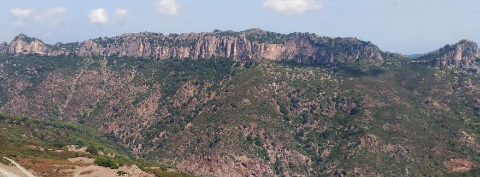
Image credits Sardegna Digital Library
The pathway
Useful informations
Roadbook
The trail begins on the outskirts of the small town of Tertenia in the Santa Sofia locality (about 250 m asl) and runs along a dirt road inland (westward). After crossing a farmland area and about 3.5 km, it reaches the Perda Manna locality, at about 300 m asl.
From the Perda Manna locality, take a path through Mediterranean scrub vegetation, which after about 1 km leads to the forest of Tacchixeddu in the Nuraghe Giuilea locality at about 500 m asl.
Continuing for about 300 m on almost level ground, you will reach the Giulea station, an old stone building, of which only the perimeter walls remain, dating back to the early decades of the 20th century, which was first used by loggers and later during World War II as a military post.
Continuing for about 800 m around the mountain of Punta Casteddu (659 m asl), the trail ends after 4.0 km, intersecting Trail C-204 in the Funtana e Giuncus locality (532 m asl), which is 150 m from Punta Casteddu (669 m asl) as the crow flies.
Trail data and altimetry

Photogallery
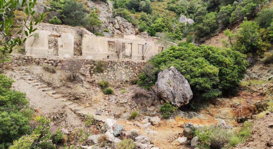
Bau Arenas, Miniere Talentinu
Agenzia ForestasSardegna Digital Library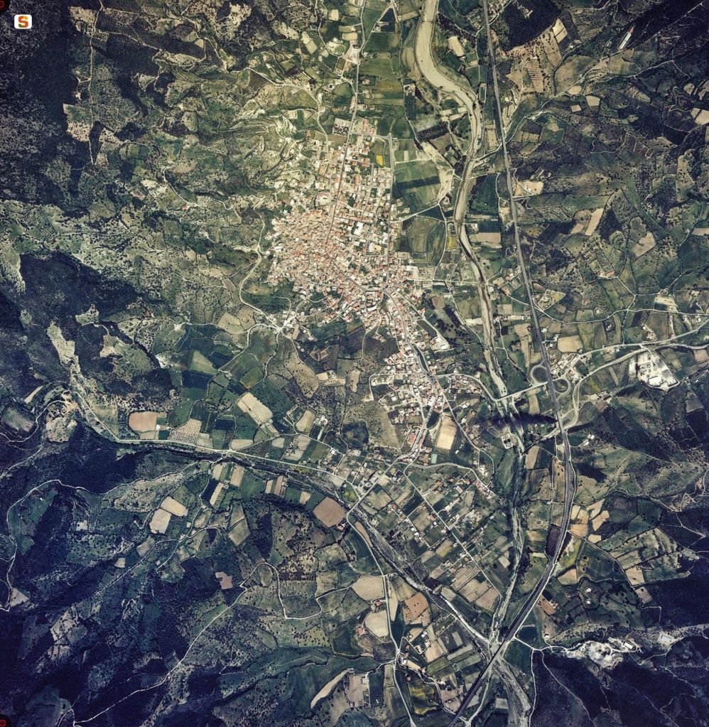
Tertenia, foto aerea
Regione Autonoma della SardegnaSardegna Digital Library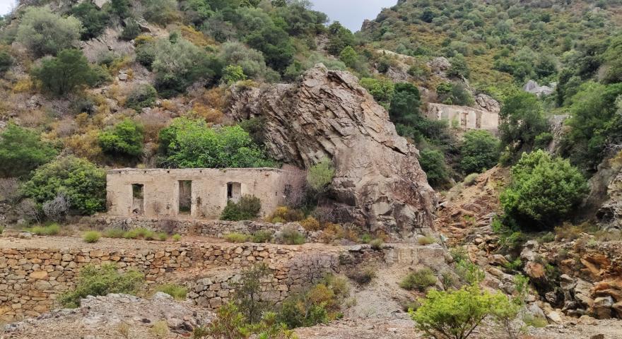
Bau Arenas, Miniere Talentinu
Agenzia ForestasSardegna Digital Library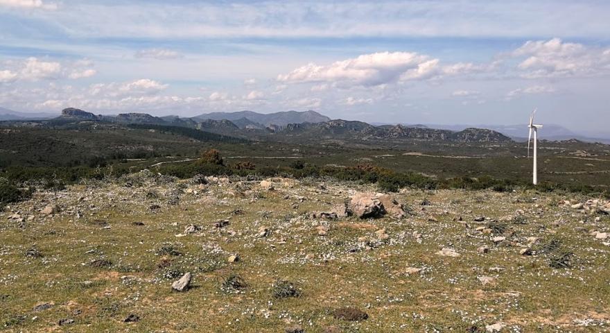
Monte Codi, panorama dalla cima
Agenzia ForestasSardegna Digital Library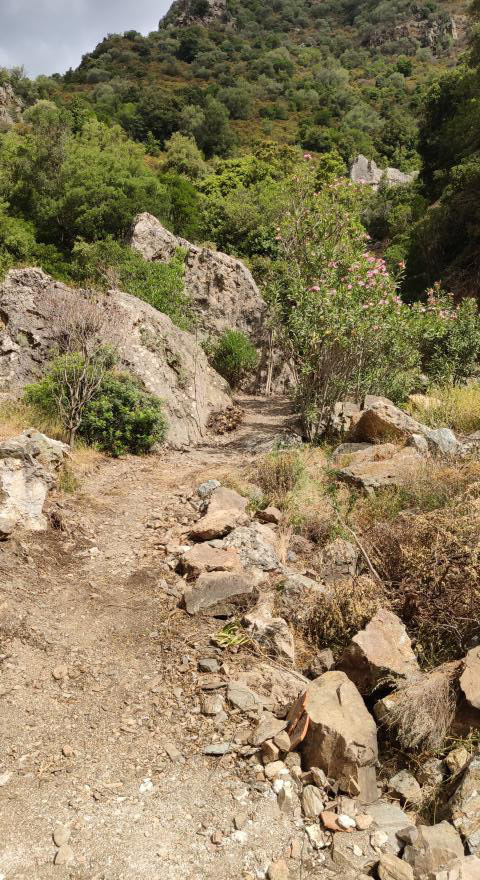
Bau Arenas, Miniere Talentinu
Agenzia ForestasSardegna Digital Library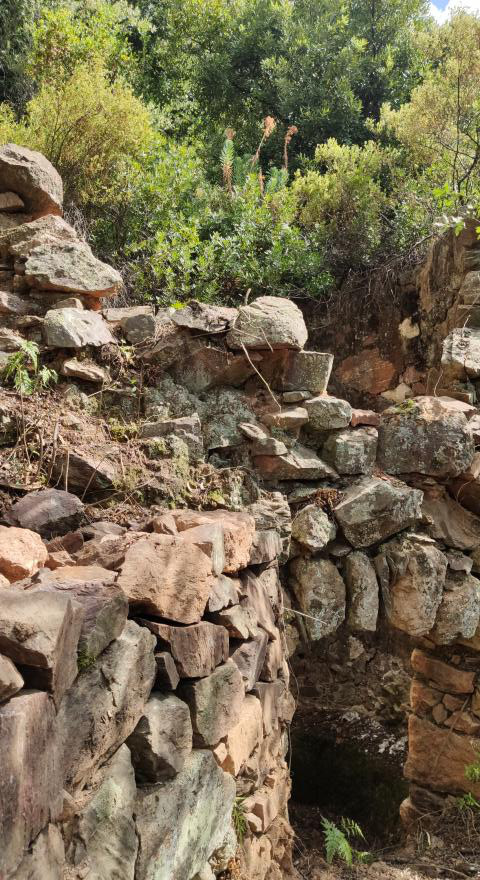
Bau Arenas, Miniere Talentinu: forni
Agenzia ForestasSardegna Digital Library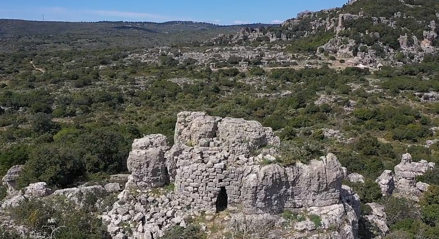
Nuraghe Gessittu
Agenzia ForestasSardegna Digital Library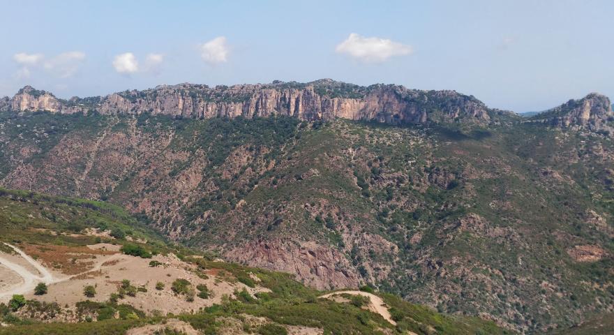
Vista di Punta Casteddu Giuilea da Is Seddas
Agenzia ForestasSardegna Digital LibraryDownload trail documentation
Opinions
No reviews yet for this path
