Start website main content

Accessible trails

1 pathway

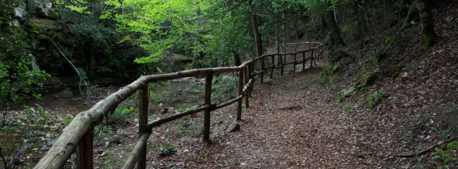
Sentieri per tutti...in questa categoria rientrano i sentieri progettati o riadattati perchè il contatto con l'ambiente naturale sia sempre di stimolo al miglioramento della vita personale di chiunque, con attenzione alle condizioni di disabilità motoria, sensoriale o della sfera psichica e relazionale...

Rio Ermolinos.jpg

Results

Junction D 511 - D 512A near Belvedere Normann

A few dozen meters from the Belvedere Normann, in an elevated position at an altitude of 190 m on the old "carreggio 190" (cart track 190), trail 511 meets the "variant 512A" also known as "carreggio 190 variant," which is a short connecting path to trail 512 that ascends towards Mount S. Giovanni, a little further east than trail 511.

Sentieristica (punti di snodo)

Geographical area Iglesiente

Bivio D 511 - D 512A presso Belvedere Normann

A poche decine di metri dal Belvedere Normann, in posizione rialzata, a quota altimetrica di 190 m sul vecchio "carreggio 190" il sentiero 511 incontra la "variante 512A" detta anche "variante carreggio 190" che è una breve bretella di collegamento con il sentiero 512 che sale verso il monte S. Giovanni, poco più ad Est rispetto al 511.

Sentieristica (punti di snodo)

Geographical area Iglesiente

Junction of trails D 512 and D 512A

At an altitude of 190 m on the old "carriage road 190", trail 512 meets the "variant 512A" also known as "carriage road 190 variant", which is a short connecting link with trail 511 that ascends towards Mount S. Giovanni, a little further West than 512, a few dozen meters from the Belvedere Normann viewpoint, in an elevated and panoramic position.

trekking - waypoint

Geographical area Iglesiente

Incrocio sentieri D 512 e D 512A

Alla quota altimetrica di 190 m sul vecchio "carreggio 190" il sentiero 512 incontra la "variante 512A" detta anche "variante carreggio 190" che è una breve bretella di collegamento con il sentiero 511 che sale verso il monte S. Giovanni, poco più ad Ovest rispetto al 512, a poche decine di metri dal Belvedere Normann, in posizione rialzata e panoramica...

trekking - waypoint

Geographical area Iglesiente

Is Ollastus Plateau (512-512B junction)

Variant 512/B is a short connecting path that links trails 511 and 512, which almost meet in the Is Ollastus area, in the upper part of Monte San Giovanni. This is a very interesting area from a geological, paleontological, and archaeological point of view. Connecting the trails is useful for customizing routes and diversifying them during different excursions. In the Is Ollastus area, which takes its name from the highest point of Monte San Giovanni (431 m), there are traces of the Santa Barbara well (one of many with this name) and an ancient church dedicated to Saint John the Baptist.

trekking - waypoint

Geographical area Iglesiente

Altipiano di Is Ollastus (incrocio 512-512B)

La variante 512/B è una breve bretella che mette in collegamento i sentieri 511 e 512, che si sfiorano in zona is Ollastus, nella parte alta del Monte San Giovanni. Siamo in una zona molto interessante dal punto di vista geologico, paleontologico e archeologico. Collegare i sentieri è utile per personalizzare i percorsi e diversificarli durante le diverse escursioni. Nella zona di Is Ollastus, che prende il nome dalla punta più alta del Monte San Giovanni (m. 431), ci sono tracce del pozzo Santa Barbara (uno dei tanti con questa denominazione) e di una antica chiesa intitolata a San Giovanni Battista

trekking - waypoint

Geographical area Iglesiente

Is Ollastus Plateau (junction 511-512B)

Variant 512/B is a short connecting path that links trails 511 and 512, which almost touch in the Is Ollastus area, on the upper part of Monte San Giovanni. This is a very interesting area from a geological, paleontological, and archaeological point of view. Connecting the trails is useful for customizing routes and diversifying them during different excursions. In the Is Ollastus area, which takes its name from the highest peak of Monte San Giovanni (431 m), there are traces of the Santa Barbara well (one of many with this name) and an ancient church dedicated to Saint John the Baptist.

trekking - waypoint

Geographical area Iglesiente

Altipiano di Is Ollastus (incrocio 511-512B)

La variante 512/B è una breve bretella che mette in collegamento i sentieri 511 e 512, che si sfiorano in zona is Ollastus, nella parte alta del Monte San Giovanni. Siamo in una zona molto interessante dal punto di vista geologico, paleontologico e archeologico. Collegare i sentieri è utile per personalizzare i percorsi e diversificarli durante le diverse escursioni. Nella zona di Is Ollastus, che prende il nome dalla punta più alta del Monte San Giovanni (m. 431), ci sono tracce del pozzo Santa Barbara (uno dei tanti con questa denominazione) e di una antica chiesa intitolata a San Giovanni Battista...

trekking - waypoint

Geographical area Iglesiente

Old powder magazine (Arrival D-301A)

This point, near the SP 83m provincial road, is the arrival point of the D-310A link road that leads from Galleria Henry to the entrance of the Cernitrici trail (D-306).

ATTENTION: Cross the provincial road with caution if you want to reach the other trail for the ascent towards the Cernitrici area.

Route location Vecchia Polveriera

trekking - waypoint

Geographical area Iglesiente