Start website main content

Nordic Walking

51 pathways

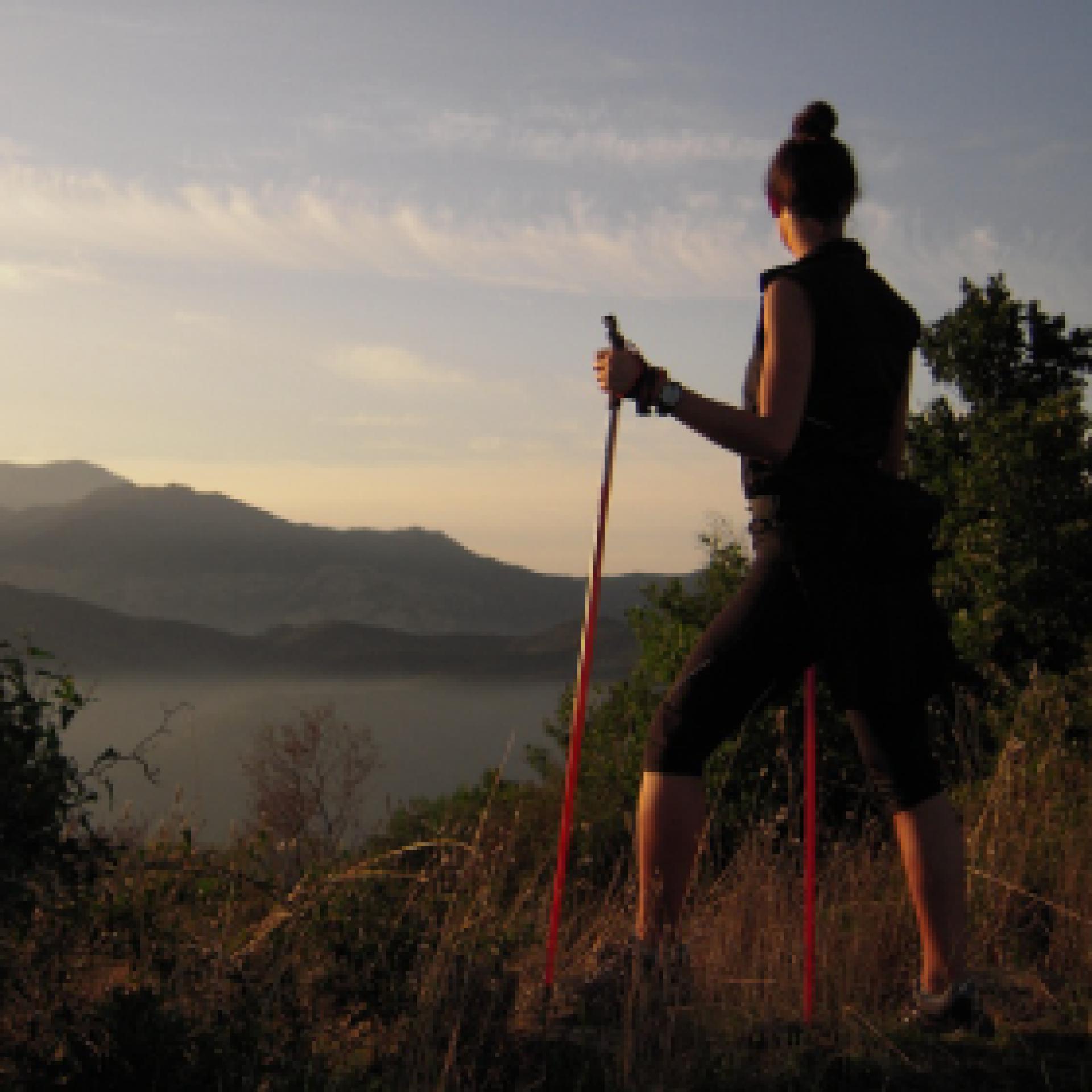
La camminata nordica o camminata con bastoni (in inglese nordic walking o pole walking) è attività fisica e sportiva che ben si coniuga con percorsi in bosco, in pianura o in vallate, lungo scogliere o spiagge.  La Rete dei sentieri della Sardegna offre tantissime occasioni per cimentarsi nella camminata nordica... 

Nordic-walking.png

Results

Desulo, Girgini. The heart of the Gennargentu

Access 

This magnificent tour is partly on an asphalt road and partly on a dirt track: the use of mountain bikes is certainly the best means of appreciating it. From the village of Desulo you start to climb the SP7 in the direction of Fonni. The tough climb is about 7 km long and many prefer to reach the mountain pass by car, starting the cycle ride directly from Tascusì. Just as you reach the pass from the climb, you turn right, downhill on a asphalt and scenic road, with an increasingly uneven surface. After 5.6 km you arrive at Arcu Guddetorgiu and here you go left, downhill, following only at this fork the signs for the Girgini agriturismo. 

La sterrata -The dirt track 

Immediately below the fork you meet another one where you go right, then left, leaving the agriturismo on the opposite side. Immediately a wide, well-maintained road begins, winding its way through woodland, heather groves and monumental downy oaks in a wide and majestic environment. The asphalt gives way to a dirt road immediately after a bridge, The asphalt gives way to dirt road immediately after a bridge, as the route continues on a slight incline or uphill. You pass a building belonging to Agenzia Forestas, which look after the forest, often encountering grazing cows. 

Girgini 

At a sudden turn in the road, one can distinguish the unmistakable pyramidal shape of Su Toni de Girgini. The term 'Toni' indicates an isolated limestone elevation, surrounded only by different rocks: in this area in addition to the main one, you encounter that of Genna Eragas, which you can reach by continuing to cycle to the right at the first crossroads. Girgini has been a popular area since ancient times, as revealed by a giants' tomb and the presence of the remains of numerous villages. You can climb to the limestone peak by following a footpath along the ridge, starting right from the clearing where you arrived. From the summit the vast panorama sweeps across the majesty of the Gennargentu mountain range, which encircles the visitor with its vast ridges. You return to Desulo by the road followed on the outward journey.

Itinerary roadbook

Lenght 39.800 m

desulo.gpx

Total elevation gain 1 825 metri

Desulo, Girgini. Il cuore del Gennargentu

Accesso 

Questo magnifico itinerario si svolge in parte su strada asfaltata e in parte su sterrata: l’utilizzo delle mountain-bike è sicuramente il modo migliore per apprezzarlo. 

Dal paese di Desulo si comincia a risalire la SP7 in direzione di Fonni. La dura salita si snoda per circa 7 km e in molti preferiscono raggiungere il passo montano in auto, cominciando a pedalare proprio da Tascusì. Proprio quando si arriva al valico dalla salita si prende a destra, in discesa su strada asfaltata e panoramica, poi con fondo sempre più dissestato. Percorsi 5,6 km si arriva ad Arcu Guddetorgiu e qui si va a sinistra, in discesa, seguendo solo in questo bivio le indicazioni per l’agriturismo Girgini

La sterrata 

Subito sotto il bivio se ne incontra un altro dove si va a destra, poi a sinistra, lasciando dalla parte opposta l’agriturismo. Subito comincia una strada ampia e ben tenuta che si snoda tra bosco, ericeti e roverelle monumentali, in ambiente ampio a maestoso. 

L’asfalto cede posto allo sterrato subito dopo un ponte, mentre si prosegue con scarse pendenze o in leggera salita. Si passa accanto ad un edifico dell’Agenzia Forestas, che si occupa della cura del bosco, incontrando spesso delle vacche al pascolo.

Girgini 

Ad una improvvisa svolta della strada si distingue la sagoma piramidale, inconfondibile, di su toni de Girgini. Il termine “toni” indica un isolato rilievo calcareo, circondato solo da rocce differenti: in questa zona, oltre al principale, si incontra quello di Genna Eragas che si raggiungerebbe continuando a pedalare a destra al primo incrocio. 

Girgini era un’area molto frequentata fin dall’antichità, come rivelano una tomba dei giganti e la presenza di resti di numerosi villaggi. Si può salire sulla cima calcarea seguendo un accennato sentiero che tiene il crinale, con partenza proprio dallo spiazzo in cui si è giunti. Dalla cima, il vasto panorama spazia nella maestosità del massiccio del Gennargentu, che abbraccia il visitatore con i suoi vasti costoni. Si ritorna a Desulo per la strada seguita all’andata.

Itinerary roadbook

Lenght 39.800 m

desulo.gpx

Total elevation gain 1 825 metri