Start website main content

Nordic Walking

51 pathways

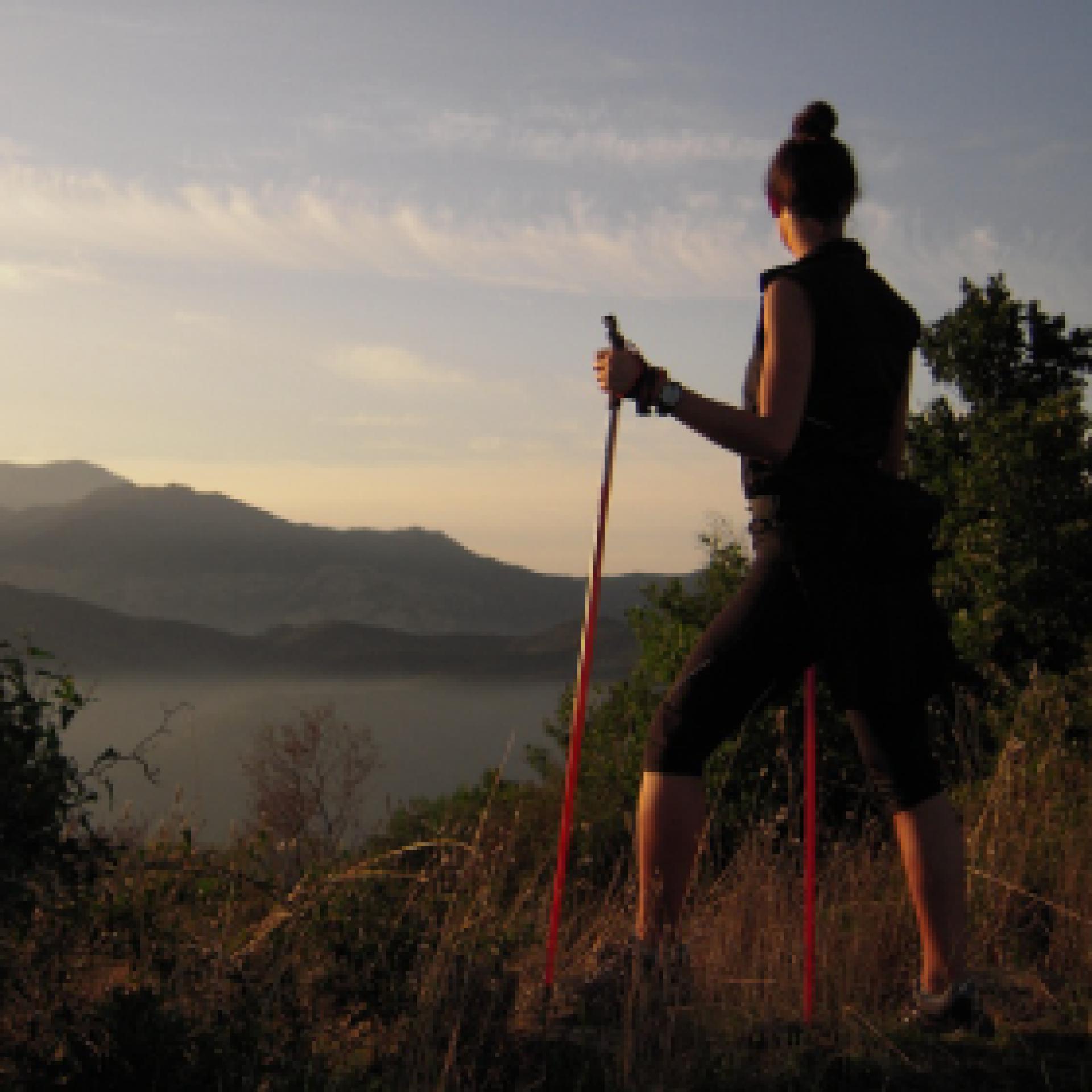
La camminata nordica o camminata con bastoni (in inglese nordic walking o pole walking) è attività fisica e sportiva che ben si coniuga con percorsi in bosco, in pianura o in vallate, lungo scogliere o spiagge.  La Rete dei sentieri della Sardegna offre tantissime occasioni per cimentarsi nella camminata nordica... 

Nordic-walking.png

Results

Tonara, the woods. The roads of the chestnut trees

Access 

The inhabited centre of Tonara is dominated by its mountain and its beautiful woods, once consisting mainly of chestnut groves interspersed with small allotments. You set off directly from the centre of the village, parking next to the Town Hall and heading for the birthplace of the poet Peppino Mereu, a Tonaraian and a pride of the island. From here, walk along Via XX Settembre, Via Angioy and then Via Galusé, which leads to the spring of the same name, exulted about by the local poet. You are at the very edge of the village and from the spring begins a concreted road that threads its way through allotments, shaded by chestnut trees and orchards.

Gli orti - The Allotments 

As in all centres of the interior, the belt of allotments embraced the village but in Tonara, given the steepness of the slopes, these were terraced and supported by drystone walls. You stay on the main road with with gentle slopes, continuing even when it becomes a dirt road under a dense forest. After passing a small ford, at the first fork you come to, take a steep left onto a country lane surrounded by drystone walls, then left again at the next three-way fork. In this last stretch, one proceeds surrounded by chestnut groves that, although today in partial abandonment, constitute an invaluable richness of these mountains. 

Nel Bosco - In the woods 

The last crossroads leads to a hidden cart track deep in the forest. You immediately pass by a water deposit and then continue with sudden uphill bends where, at times, the vegetation opens up, allowing wide panoramic views to the west. The strenuous climb is always well shaded and you soon come to three forks in quick succession, where you first take a left, then the second left and finally a right uphill, onto a pleasant dirt track at Morturasà. Here you turn left, slightly downhill. 

I Castagneti - The chestnut groves 

The dirt track that you follow is perfectly maintained and keeps to the edge of a vast area of reforestation. Soon, however, the cedars and black larch pines are replaced by the main attraction of this mountain: the chestnut. The beautiful open woodland, in which there are some large statuesque specimens, tells of the importance of forestry for these communities. You pass by a spring, which dries up in the summer season, and quickly reach an asphalt road: taking a left downhill, you quickly return to the village, however it is possible to turn right at the next crossroads to visit the spring of Funtana 'e s'Abe, with its fresh and wonderful ambience in all seasons, ideal for refreshment after the long walk before returning, through the narrow streets of the centre, to the car.

Itinerary roadbook

Lenght 4.700 m

-tonara-i-boschi-le-strade-dei-castagni.gpx

Total elevation gain 296 metri

Geographical area Barbagia

Tonara, i boschi. Le strade dei castagni

Accesso

Il centro abitato di Tonara è sovrastato dalla sua montagna e dai suoi bei boschi, un tempo costituiti prevalentemente da castagneti inframmezzati da piccoli orti. Si parte direttamente dal centro del paese, parcheggiando accanto al Municipio e dirigendosi verso la casa natale del Poeta Peppino Mereu, orgoglio tonarese e dell’Isola. Da qui si percorrono le vie XX Settembre, Via Angioy e poi via Galusé che porta alla sorgente omonima, cantata proprio dal poeta locale. Si è al limite estremo del borgo e dalla fonte incomincia una stradina pavimentata che si infila tra gli orti, ombreggiata da castagni e frutteti.

Gli orti

Come in tutti i centri dell’interno, la cintura di orti abbracciava il paese ma a Tonara, vista la forte pendenza dei versanti, questi erano terrazzati e sostenuti da murature a secco. Si rimane sulla strada principale con scarse pendenze, continuando anche quando questa si sterra sotto un fitto bosco. Superato un piccolo guado, al primo bivio che si incontra, si prende a sinistra in ripida salita per un viottolo di campagna circondato da muretti a secco, poi ancora a sinistra ad un incrocio a tre vie successivo. In quest’ultimo tratto si procede circondati dai castagneti che, sebbene oggi in parziale abbandono, costituiscono una ricchezza inestimabile di queste montagne.


Nel bosco

L’ultimo incrocio ha permesso di guadagnare una carrareccia silenziosa ed immersa nel bosco. Si passa subito accanto ad un deposito dell’acqua, proseguendo poi con improvvisi strappi in salita dove, talvolta, la vegetazione si apre permettendo ampie viste panoramiche verso occidente. La faticosa salita è sempre ben ombreggiata e ben presto si giunge a tre incroci in rapida successione, dove si prende inizialmente a sinistra, poi ancora a sinistra e infine a destra in salita, guadagnando una bella sterrata in località Morturasà. Qui si prende a sinistra, in leggera discesa.

I castagneti

La sterrata che si percorre è perfettamente tenuta e si tiene ai margini di una vasta area di rimboschimento. Ben presto però ai cedri ed ai pini neri larici si sostituisce l’albero protagonista di questa montagna: il castagno. Il bel bosco aperto, nel quale figurano alcuni grossi esemplari monumentali, racconta dell’importanza della selvicoltura per queste comunità.
Si passa accanto ad una sorgente, in secca nella stagione estiva, raggiungendo in breve una strada asfaltata: prendendo a sinistra, in discesa si ritornerebbe rapidamente in paese, ma è possibile svoltare a destra all’incrocio successivo per visitare poi la sorgente di Funtana ‘e s’Abe, ottima e fresca in tutte le stagioni, ideale per ristorarsi dopo la lunga camminata prima di rientrare, per le strette vie del centro, all’auto.

Itinerary roadbook

Lenght 4.700 m

-tonara-i-boschi-le-strade-dei-castagni.gpx

Total elevation gain 296 metri

Lodine, Puddis. A panoramic balcony overlooking the lake

Access 

Although the municipal park of Puddis is owned by the Municipality of Lodine, it belongs territorially to the Municipality of Gavoi, but the strong bond of the Lodinese community with this mountain is also due to its proximity, to the small mountain centre of Gavoi. You therefore set off on foot from the SP30, which is also the main road, spotting the signs for the Puddis Municipal Park that lead to the slightly downhill Via IV Novembre. 

The Natural Spring 

After a short stretch, turn right, quickly reaching the natural spring of S’Antana 'e Bidda, located slightly below street level and always a fresh, pleasant ambience. With the spring situated behind your shoulder, begin to climb gradually onto a rolling road, flanked by dry stone walls, surrounded by mature and sparse downy oaks, in the distinctive environment of the Barbagia di Ollolai. The road goes on straight and after the first stretch it flattens out, remaining cemented up to a large clearing, where the paved section ends. Slightly to the left, in respect to the direction of arriving, there is located a gate that must be closed, whilst a wooden sign indicates that you have arrived at the park of Puddis

Puddis 

One then enters the large tancato, aiming for a dirt road on the left. It would also be possible to visit the chestnut grove, located at a lower altitude, which is currently being coppiced by the local government. Having taken the dirt road, you start climbing slightly, flanked by a wood of rather young downy oaks, interspersed with dense heather. The profile of a large antenna that acts as a television repeater stands out over the area. The road continues in a south westerly direction and then bends sharply to the right in the direction of the antenna. On the left here is a narrow path that descends slightly, which heads towards a large clearing overlooked and dominated by some beautifully shaped granite rocks, decorated with beautiful tafonate. 

Lake view 

One cautiously climbs up the rocks, to discover a panorama of extraordinary vastness. At the foot of the peak, the valley of Gusana opens up, with its mountain lake surrounded by woods taking centre stage. Gennargentu and Supramonte, in the background, crown with their mountainous silhouettes a maze of wooded valleys, undulating ridges, broken by granite peaks, distant mountain villages or deep gorges. Near the cliff, the houses of Gavoi and the peaks of San Basilio conclude this extraordinary view of this corner of Sardinia. Once the visit is complete, you return to the village by the road you followed on the outward journey.

Lenght 2.800 m

lodine.gpx

Total elevation gain 116 metri

Lodine, Puddis. Un balcone panoramico sul lago

Accesso

Seppure il parco comunale di Puddis sia di proprietà del Comune di Lodine, esso appartiene territorialmente al Comune di Gavoi, ma il forte legame della comunità lodinese con questa montagna è dovuto anche alla sua vicinanza col piccolo centro montano. 

Si parte a piedi dunque dalla SP30 che costituisce anche la via principale, individuando le indicazioni per il Parco Comunale Puddis che portano ad imboccare la Via IV Novembre, in leggera discesa. 

La sorgente 

Dopo un breve tratto si svolta a destra, raggiungendo rapidamente la sorgente di s’Antana ‘e Bidda, posta leggermente sotto il piano stradale e sempre ottima e fresca. Lasciata la sorgiva alle spalle si prende a salire gradualmente per una rotabile fiancheggiata da muretti a secco, circondati da roverelle mature e rade, nel tipico ambiente della Barbagia di Ollolai. La strada procede rettilinea e dopo un primo tratto si spiana, rimanendo sempre cementata fino ad un grosso spiazzo dove termina il tratto pavimentato. Leggermente a sinistra rispetto alla direzione di arrivo si trova un cancello che è necessario richiudere, mentre un cartello in legno segnala che si è arrivati ormai al parco di Puddis.

Puddis

Si entra quindi nel grosso tancato, mirando ad una strada sterrata sulla sinistra. Sarebbe possibile, inoltre, visitare il castagneto che si trova ad una quota inferiore, oggetto attualmente di un governo a ceduo. Imboccata la strada si sale leggermente di quota, fiancheggiati da un bosco di roverelle piuttosto giovane, inframezzate da un fitto ericeto. Sulla zona si staglia il profilo di una grossa antenna che fa da ripetitore televisivo. 

La strada prosegue in direzione sudovest e poi piega bruscamente a destra in direzione delle antenne. Sulla sinistra si individua qui un esile sentierino che scende leggermente, mirando ad una vasta radura sovrastata da alcune rocce granitiche dalle belle forme tafonate. 

Vista lago 

Si risale cautamente sulle rocce, scoprendo un panorama di straordinaria vastità. 

Ai piedi del picco si apre la valle di Gusana, col suo lago montano circondato dai boschi ad occupare il ruolo di protagonista. Il Gennargentu e il Supramonte, sullo sfondo, coronano con le loro sagome montuose un dedalo di valloni boscosi, creste ondulate o rotte da picchi granitici, lontani paesi o forre profonde. Nei pressi del rocciaio, le case di Gavoi e le cime di San Basilio concludono questa straordinaria veduta su quest’angolo di Sardegna. 

Una volta ultimata la visita, si ritorna al paese per la strada seguita all’andata.

Lenght 2.800 m

lodine.gpx

Total elevation gain 116 metri

Olzai, Su Mulinu Vetzu. A jewel of industrial architecture

Access 

In the centre of Olzai, the outstanding predominant feature is granite. All the old houses and the canals that kept the mountain torrents at bay, are built with this hard stone and the streets of the beautiful historic centre are paved in the same way. You leave your car in the centre of the village, where Via Taloro intersects with Via Marconi, begin to climb the latter and keeping to the left the canal that captures the waters of the Riu Bisine. Drive up between the small houses of the centre until you reach a square on the right, where you will also find the signs for the House-Museum of Carmelo Floris, a famous painter born in Olzai: the museum is well worth a visit and arrangements can also be made here for a visit to the mill. 

Uphill 

You keep to the left, uphill, taking Via Anastasio and then following a small cemented road that leaves the last houses of the village behind. At the next fork, turn right again, uphill on the asphalt, plunging into a dense and silent Holm oak forest. The road climbs steeply, narrowing and gaining height with tight hairpin bends that are always paved. 

Mulinu Vetzu 

The road keeps to the left of the sunken valley of the Riu Bisine from which, in the rainy season, the roar of the torrent comes. A last uphill stretch leads to a widening where, under the forest trees, a few small tables have been set up for a rest. On the left, just below the road, some ancient buildings attract your attention. Su Mulinu Vetzu was mainly used for milling wheat and barley. In the main building was the large wooden wheel, set in motion by gravity from the water that was appropriately channelled. The mill dates back to the end of the 18th century and was renovated in the 2000s: today, the transmission shaft would need further restoration to make the gearing functional again. The old building retains intact the industrial charm of the times gone by; once the visit is over, you can stay and enjoy the coolness of the forest, before returning to the village by the road followed on the outward journey

Lenght 2.400 m

olzai.gpx

Total elevation gain 154 metri

Olzai, Su Mulinu Vetzu. Un gioiello di architettura industriale

Accesso 

Nel centro abitato di Olzai il protagonista assoluto è il granito. Tutte le vecchie case ed i canali che tenevano a bada i torrenti della montagna sono costruiti con questa dura pietra e anche le vie del bel centro storico sono pavimentate allo stesso modo. 

Si lascia l’auto nel centro del paese, dove la Via Taloro si interseca con Via Marconi, cominciando a salire per quest’ultima e tenendo a sinistra il canale che intrappola le acque del Riu Bisine. Si sale tra le casupole del centro fino ad una piazza sulla destra, dove si incontrano anche le indicazioni per la Casa - Museo di Carmelo Floris, celebre pittore nato proprio a Olzai: il museo val bene una visita e si potranno prendere qui accordi anche per la visita al Mulino. 

In salita 

Si tiene la sinistra, in salita, prendendo Via Anastasio e poi seguendo una stradina cementata che si lascia alle spalle le ultime casupole del paese. Al bivio successivo si prende ancora a destra, in salita su asfalto, immergendosi in una fitta e silenziosa lecceta. 

La strada si impenna ripida, restringendosi e prendendo quota con stretti tornanti sempre pavimentati. 

Mulinu Vetzu

La strada tiene sempre a sinistra la valle incassata del Riu Bisine da cui, nelle stagioni delle piogge, proviene lo scrosciare del torrente. Un ultimo strappo in salita porta ad uno slargo dove, sotto gli alberi del bosco, sono stati ricavati alcuni tavolini per la sosta. Sulla sinistra, poco sotto la strada, alcune antiche costruzioni attirano l’attenzione. 

Su Mulinu Vetzu era utilizzato prevalentemente per la molitura del grano e dell’orzo. Nell’edificio principale si trovava la grande ruota di legno, messa in moto per gravità dall’acqua che veniva opportunamente incanalata. Il mulino risale alla fine del Settecento ed è stato ristrutturato negli anni 2000: oggi l’asse di trasmissione avrebbe bisogno di un ulteriore restauro per rendere l’ingranaggio nuovamente funzionante. 

Il vecchio edificio conserva intatto il fascino industriale dei tempi che furono; una volta terminata la visita si può rimanere a godere della frescura del bosco, prima di ritornare al paese per la strada seguita all’andata.

Lenght 2.400 m

olzai.gpx

Total elevation gain 154 metri