The route was created as part of a collaboration between the GAL Ogliastra and the FoReSTAS Agency, with the aim of offering hikers an immersive experience in the natural and scenic beauty of the Ogliastra area. The itinerary features points of interest along every section. You can choose your starting stage and build your own customized route, traveling from north to south or from south to north. The direction of travel may change, but the quality of the landscape remains unchanged.
The path
The path offers moments of quiet alternate with opportunities for active discovery, among limestone cliffs, climbing routes, and via ferratas.
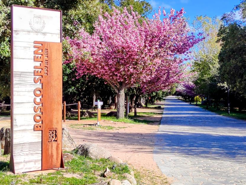
The route passes through places full of charm such as the Scala di San Giorgio (16), the abandoned village of Osini Vecchio (17), stone sheepfolds immersed in greenery, and important archaeological sites like Serbissi (30). The landscapes continually change: from olive groves and agricultural inland areas to dolomitic formations and holm oak forests, up to limestone plateaus from which the majestic Perda Liana (37) can be glimpsed. The journey crosses shady and lush environments such as the Montarbu Forest (35), leading to the clear waters of the Niala Pools (Ussassai). It is a path that invites slowness, a sensory immersion into the most authentic Sardinia, among unspoiled nature, ancient memories, and silences that tell stories. The final stage of the journey, long and demanding, represents the most intense synthesis of the entire route. It winds through the Montarbu Forest (35), climbs to Punta Margiani Pubusa (36) with its spectacular panoramas, and skirts closely to the majestic Perda Liana. Among panoramic peaks like Cuccuru ‘e Muvroni (38) and Erdorrù (39), and stretches overlooking the Alto Flumendosa Lake, the trail alternates descents and steep climbs until reaching the vicinity of the SIC Rio Sicaderba, where a restored old railway station marks the end of the path.
From Villagrande Station to Seleni Woods
This is also a challenging stage that requires good physical preparation.
From the very first steps, you begin to gain altitude, and the landscape gradually opens up to splendid views of the Gennargentu, which expand towards the Tacchi d’Ogliastra area and Gairo Taquisara, even allowing glimpses of parts of the route crossing those lands.
After passing Punta Preda ’e Aria heading towards Monte Armidda, your gaze reaches the sea, which on the horizon blends with the sky. Along the way, the scent of thyme —which in this part of Ogliastra is called armidda, from which the mountain’s name derives — accompanies your steps in a delicate but persistent way.
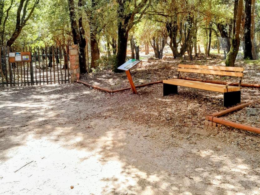
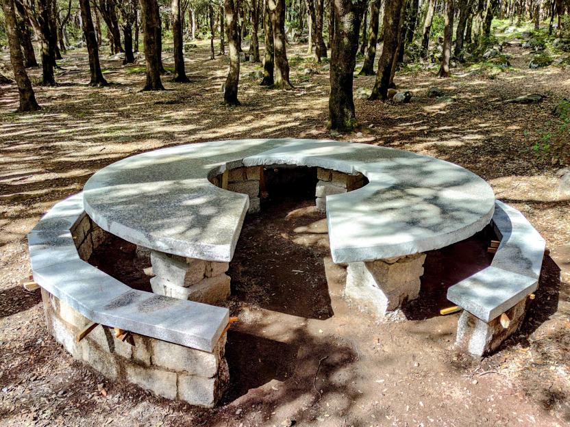
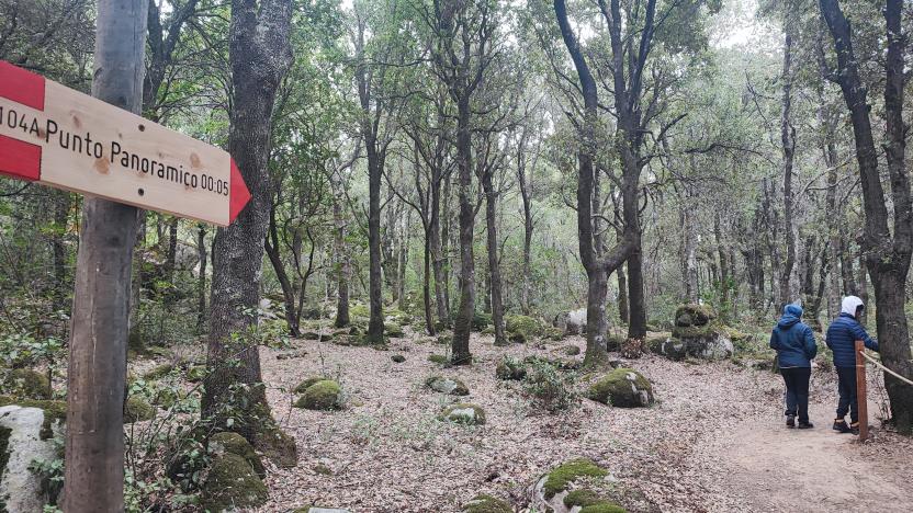
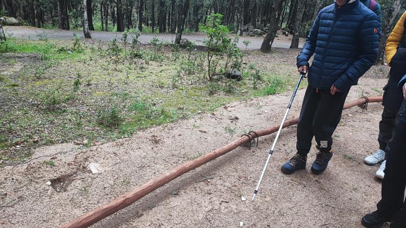
The trail winds through planted pine forestsand more barren areas lacking vegetation. The alternation between shaded sections, which offer relief, and stretches more exposed to the sun makes the route demanding, especially in the hotter months: in spring and summer, it is highly recommended to bring a hat, sunscreen, and plenty of water. Reaching the stage endpoint requires one last effort: a steep climb concludes the hike. But once at the top, the effort is richly rewarded by the opportunity to immerse yourself in the historical and cultural aspects of the territory. The forest is home to an important archaeological area, well preserved and rich in evidence of notable value, which can be visited via the first accessible path in Sardinia (C 104 A - Àndala Segura) https://www.sardegnasentieri.it/sentiero/andala-segura-sentiero-accessi….
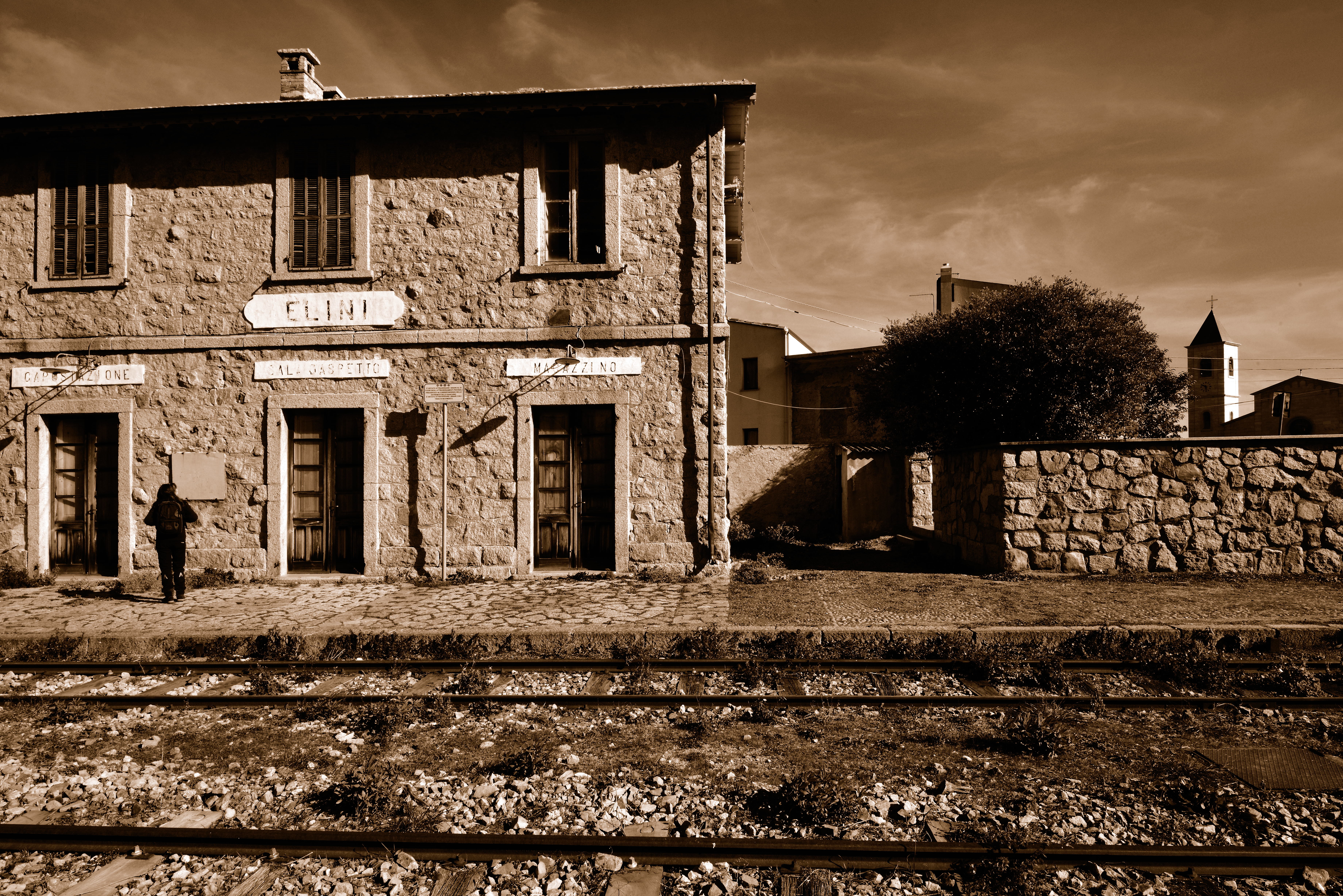
At an altitude of almost 500 meters lies the village of Elini, the smallest in Ogliastra, with a population of about 600. Places to visit include the Parish Church of San Gavino Martire, Carmine Park accessible via trail T-123 of the R.E.S., the old station, and the murals.