Sulcis
Sulcis
: description
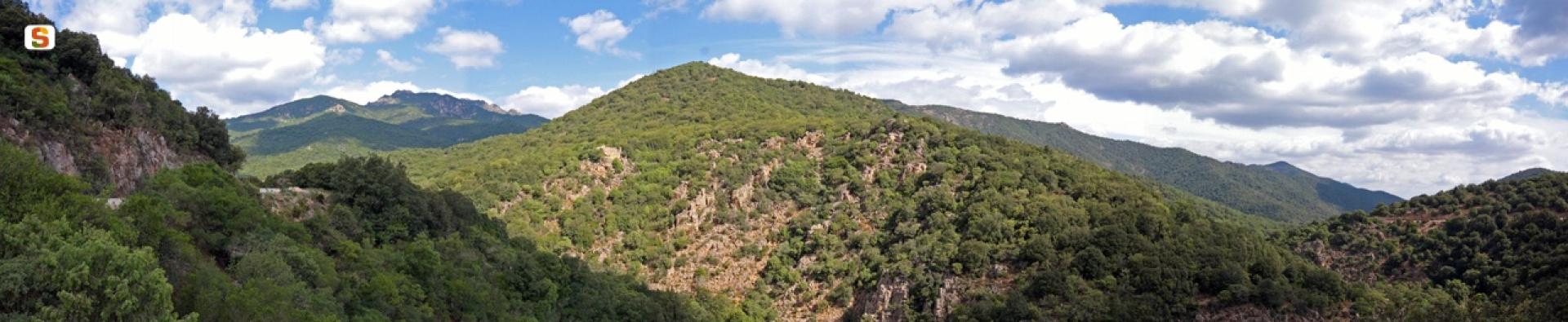
Sulcis is a sub-region of Sardinia, in thesouth-west of the island, and forms an integral part ofthe historical and geographical region of Sulcis-Iglesiente. It takes its name from the ancient Punic city of Sulki or Sulci(the present-day Sant'Antioco). Sulcis propercorresponds to the south-western slope of the Sulcis Mountainsand to the plain below as far as the south-west coast thatoverlooks the Channel of Sardinia from Cape Altano tothe Gulf of Palmas and from here towards Cape Teulada.Due to political-geographical affinities,the Sulcis archipelago is considered part of the sulcitan territory, with the islands ofSan Pietro and Sant'Antioco.Sulcis has a unique characteras it is almost completely bounded by the sea andby the mountain massif of the same name, which isolate it from the restof the region. The border is physically demarcated by a watershedof medium altitude and rugged morphology, which divides Sulcisand Iglesiente and is interrupted by a narrow strip of alluvialdeposits that links Carbonia to Villamassargia.In the west, the morphology is characterised byfloodplains stretching all along the coastal strip,from Porto Pino (Sant'Anna Arresi) to Carbonia and Portoscuso, alternating with gentle hilly reliefs. To the north and east, the morphology is defined by reliefs that transform the landscape abruptly from flat-to-hilly to inaccessible and mountainous (source: Wikipedia).