Monteacuto
Monteacuto
: description
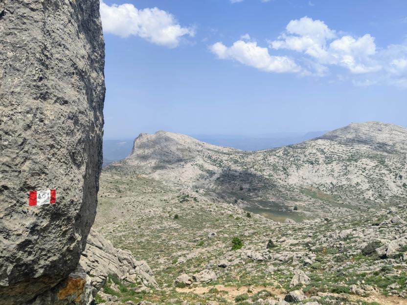
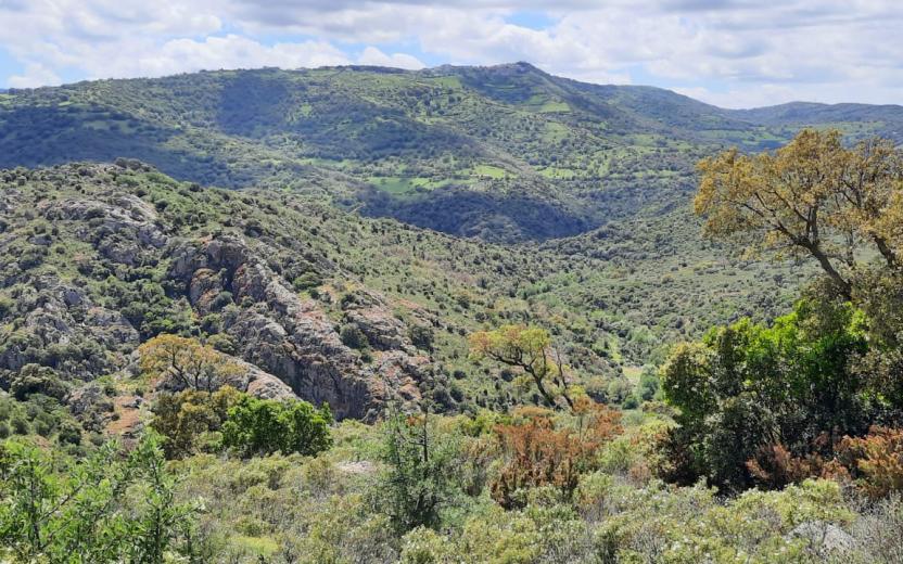
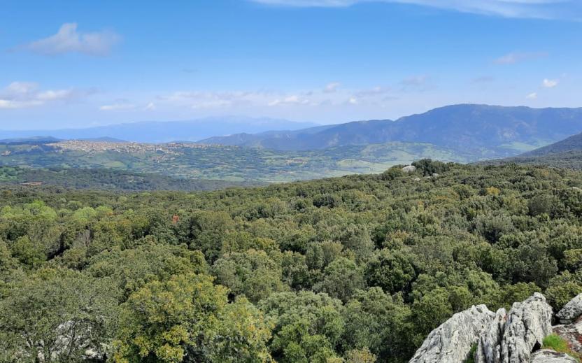
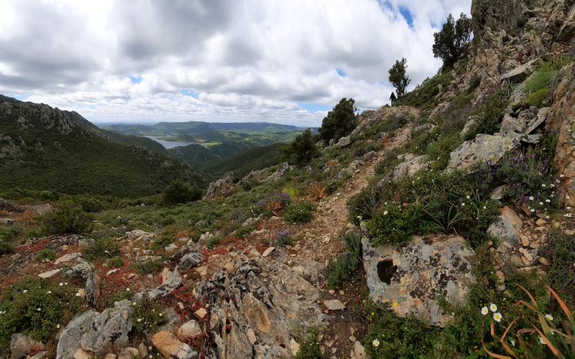
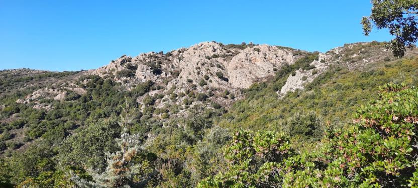
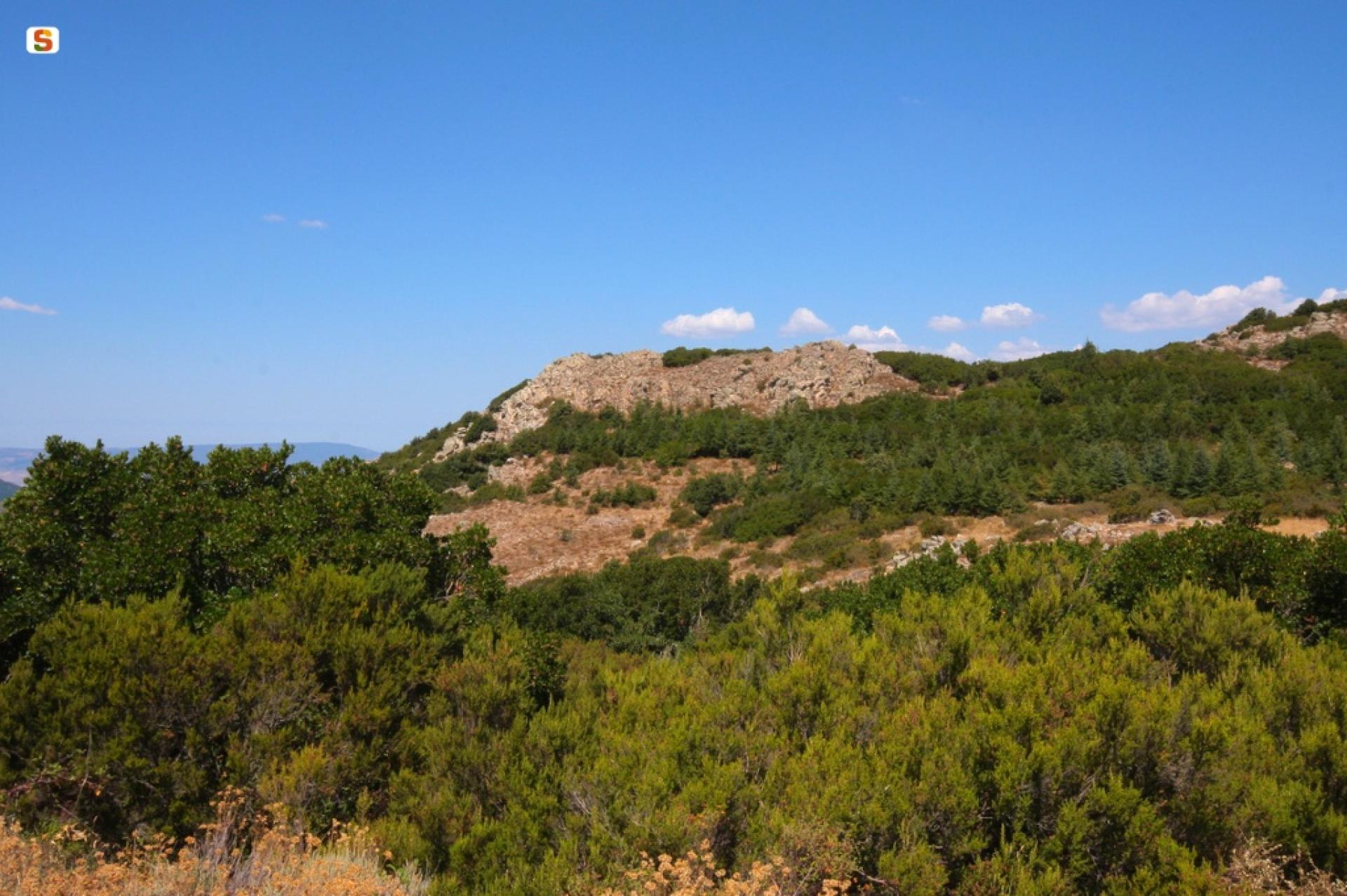
Monteacuto is a historical region of Sardinia with rather unclear boundaries, gravitating around the town of Ozieri. It owes its name to the hill of the same name, located in Berchidda, which in the Middle Ages was home to an important castle. Its territory covers predominantly flat areas that stretch from Mount Santo, which marks the border with Meilogu, almost as far as Olbia, including the valley to the south of Limbara. The only really mountainous area is that in the South-East, corresponding more or less to the area of Pattada and the Buddusò plateau (which, however, in ancient times lay within the Nuorese region). Today, from an economic and administrative point of view, Monteacuto is divided into two zones, with the Coghinas river representing the border: one zone gravitates towards Sassari and the other towards Olbia-Tempio. Indeed, even historically the region was split between Logudoro and Gallura. The municipalities belonging to this historical region are: Berchidda (OT), Monti (OT), Nughedu San Nicolò (SS), Tula (SS), Oschiri (OT), Ozieri (SS), Pattada (SS), Alà dei Sardi (OT), Buddusò (OT). [Source: Wikipedia]
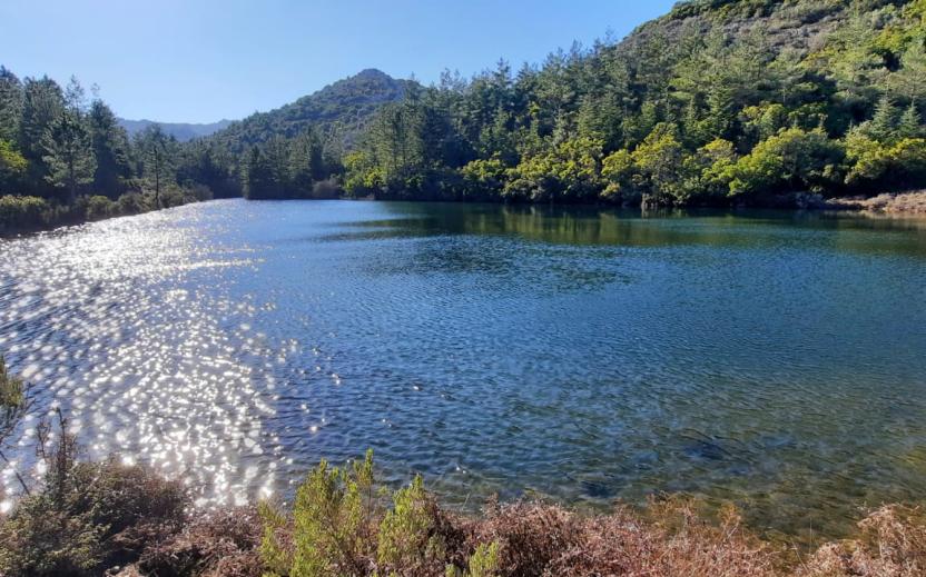
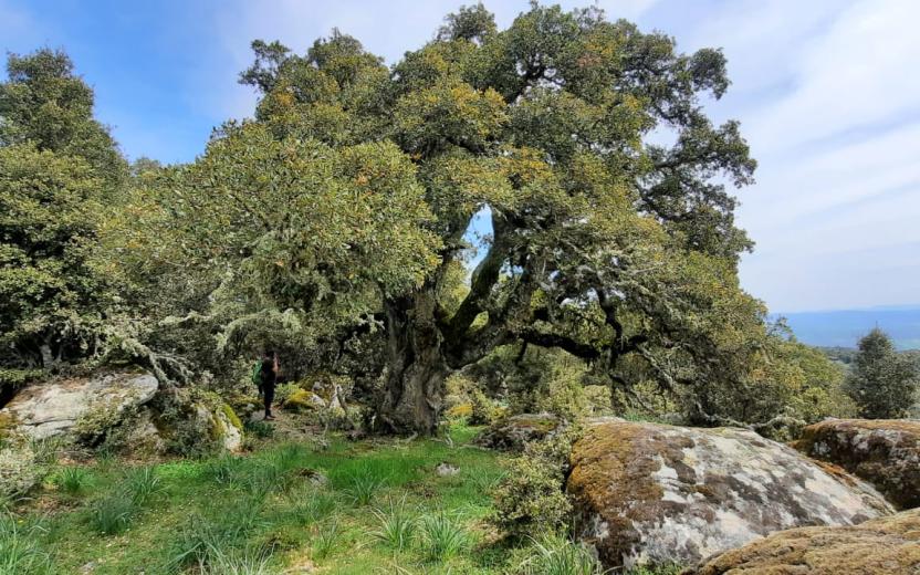
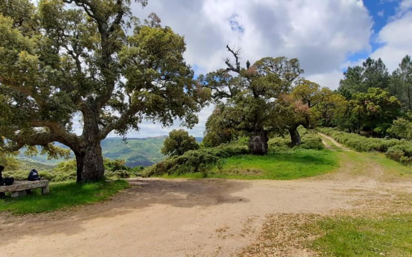
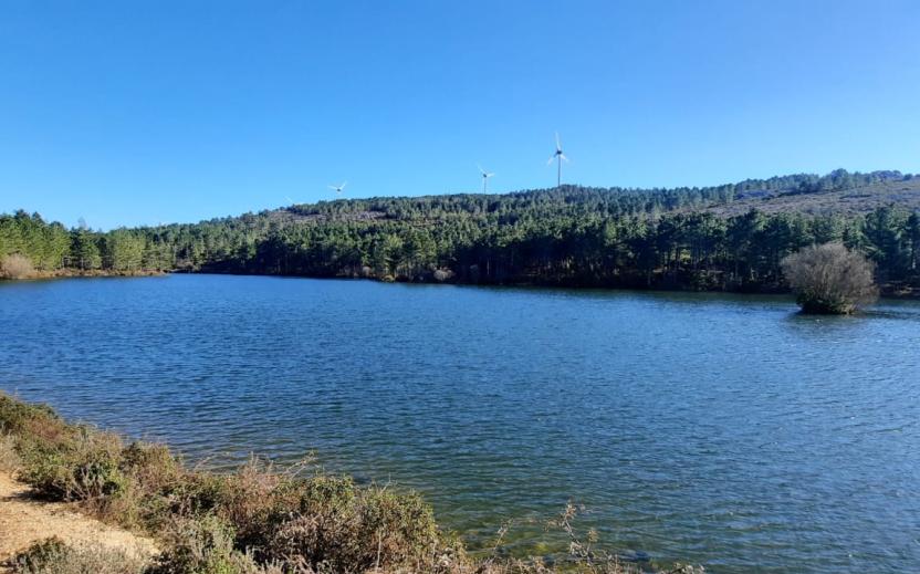
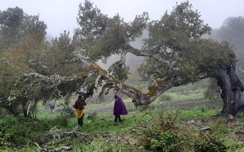
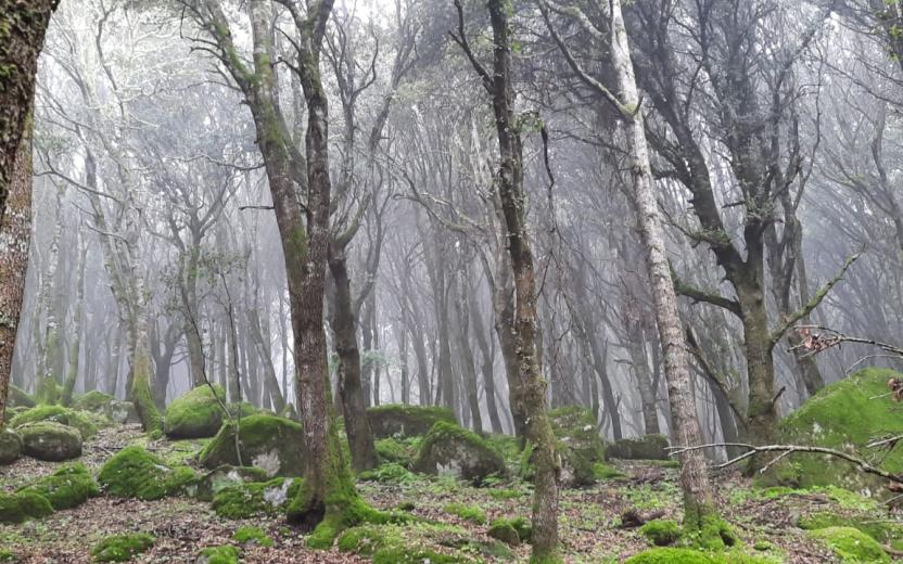
The Monte Acuto Forest Complex consists of several areas of outstanding natural value in the municipalities of Tula, Pattada, Buddusò, Oschiri and Berchidda. The headquarters of the complex, located near Monte Lerno, has been part of the State-owned Forest since 1904. Characterised by holm oaks, cork oaks, pine, Atlas cedar and chestnut. The Forest Complex is also in charge of the management units of Sa Conchedda and Filigosu, which although not part of forestry district n.5 forms a single unit with the units of Monte Lerno and Sa Linna Sicca.