Start website main content

Mountain Bike

35 pathways

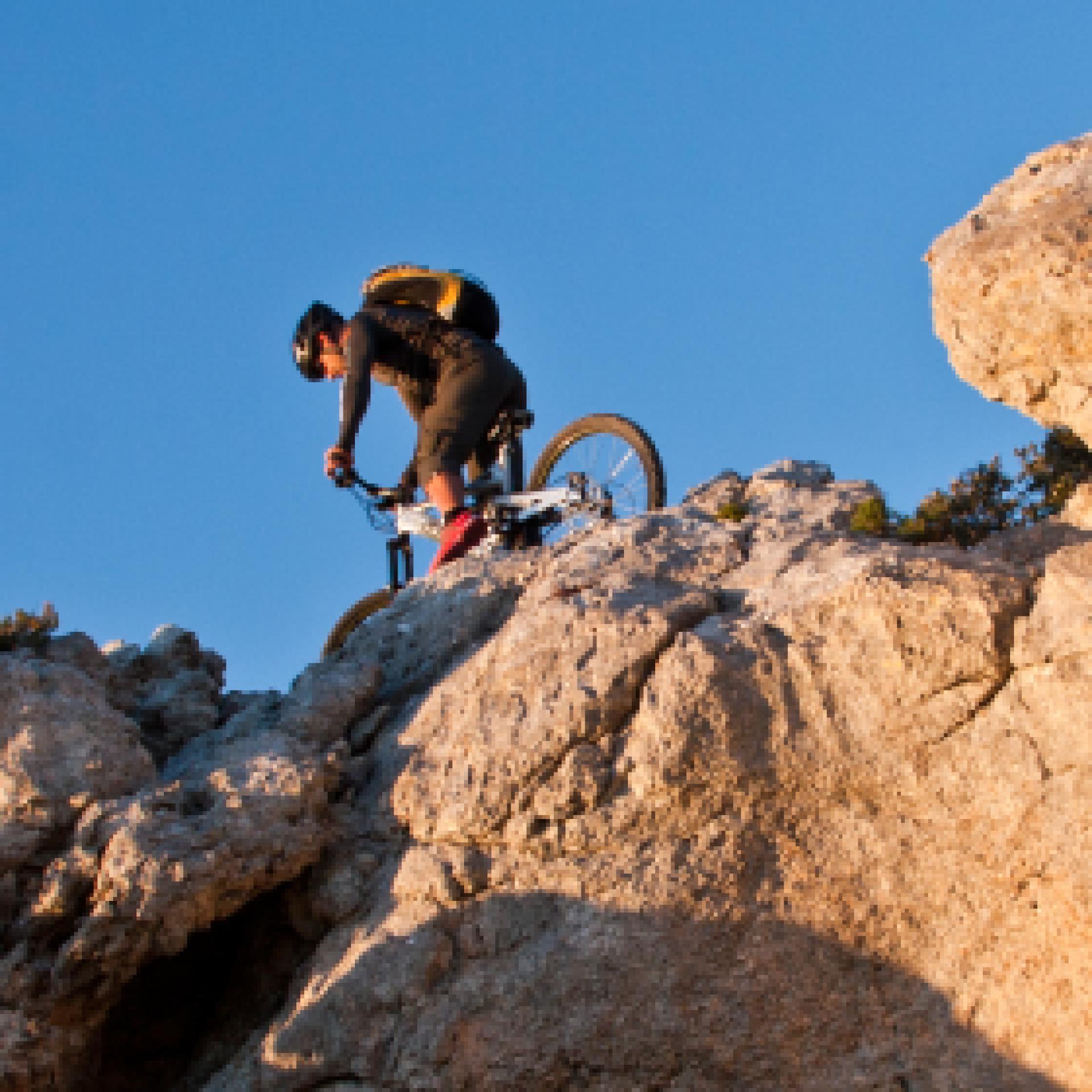
Le varie categorie del mountain biking ne fanno un universo a sé stante nel campo del turismo attivo: cross countryall mountain, enduro freeride, downhill e bike orienteering...possono essere praticati quasi ovunque, ma la maggior parte dei biker pedalano fuoristrada, lungo sentieri di campagna, piste forestali o singletrack (creati e mantenuti principalmente dal passaggio).  Gruppi sociali più o meno formalizzati sono frequenti, specialmente nelle uscite più lunghe...
Mountain-bike.png

Results

Austis, Sa Crabarissa. The rock of legend

Access 

From the village, follow the signs for Sa Crabarissa, following Via Gramsci, which soon turns into a country lane. you leave the beautiful sanctuary of S. Antonio on the right, still on an asphalted road, descending slightly to an obvious fork where you turn left, still following the signs. 

Bortamelone 

The area is overlooked by the gentle prominence of Monte Bortamelone, recognisable by its impressive reforestation. The road runs between pastures and scrubland. On the left is the rock of Nodu Pertuntu, not signposted, with its characteristic perforated summit. You continue along the main road, surrounded by arbutus trees, until the asphalt ends and the road proceeds, unpaved, always in excellent condition and slightly downhill, and now very scenic. 

Sa Crabarissa 

You reach a wide dirt clearing, keeping Bortamelone behind you, and after parking, take a right onto an clear path that heads toward the soaring, elegant silhouette of Sa Crabarissa. This extraordinary natural monument owes its name to a legend: a woman from Cabras (a crabarissa) who fell in love with a shepherd from Austis who was in her village for transhumance. The two swore eternal love to each other, but when she went to visit him, she discovered that he was already married and had a family. The girl went back, but the terrible pain turned her into stone: her form still resembles that of a girl from Cabras in typical costume. The rock is set in an extraordinary environmental context and can be reached along the beautiful path, keeping to the left. 

Ring in the bush 

Continue along the path, with a little slope, spotting a fork on the right that, once taken, leads uphill to a small artificial lake. Here, turn right onto a dirt track, still keeping to the right and returning to the car in a short time.

Lenght 19.500 m

austis.gpx

Total elevation gain 511 metri

Austis, Sa Crabarissa La roccia della leggenda

Accesso

Dall’abitato si seguono le indicazioni per Sa Crabarissa, percorrendo la via Gramsci che si tramuta ben presto in un viottolo di campagna. Si lascia a destra il bel santuario di S. Antonio, sempre su strada asfaltata, scendendo leggermente fino ad un bivio evidente dove si prende a sinistra, sempre seguendo le indicazioni.

Bortamelone

La zona è dominata dal morbido rilievo del Monte Bortamelone, riconoscibile dagli imponenti rimboschimenti. La strada corre tra pascoli e zone a macchia. Sulla sinistra si cela la roccia di Nodu Pertuntu, non segnalata, dalla caratteristica sommità forata.
Si prosegue sempre sulla strada principale, circondati dai corbezzoli, finché l’asfalto termina e la strada procede, sterrata, sempre in ottime condizioni e in leggera discesa, ora molto panoramica.

Sa Crabarissa

Si raggiunge un vasto spiazzo sterrato, tenendo alle spalle Bortamelone e dopo aver parcheggiato si prende a destra per un sentiero evidente che si dirige verso la sagoma slanciata ed elegante di Sa Crabarissa.
Questo straordinario monumento naturale deve il suo nome ad una leggenda: una donna di Cabras (una crabarissa) si innamorò di un pastore di Austis che si trovava nel paese di lei per la transumanza. I due si giurarono eterno amore ma, quando lei andò a trovarlo, scoprì che lui era già sposato ed aveva una famiglia. La ragazza tornò indietro, ma il terribile dolore la tramutò in pietra: ancora le sue forme ricordano quelle di una ragazza di Cabras col tipico costume.

La roccia è posta in un contesto ambientale straordinario e si raggiunge per il bel sentiero, tenendola sulla sinistra.


Anello nella macchia

Si prosegue sul sentiero, con poche pendenze, individuando un bivio sulla destra che, una volta imboccato, porta in salita ad un piccolo laghetto artificiale. Qui si prende a destra, su sterrata, tenendo ancora la destra e ritornando in breve all’auto.

Lenght 19.500 m

austis.gpx

Total elevation gain 511 metri

Contiene carte
Spento

CMSB – STAGE 16 - FROM DOMUSNOVAS-MUSEI TO ORBAI

While crossing the Cixerri valley, you walk through the agro-pastoral farms of this fertile plain to reach the S'Ortu Mannu natural park, where you can admire some majestic centuries-old olive trees.

The climb up the hills takes you to the Monte Cadelano forest complex, which houses the mining village of Orbai and the abandoned plants of the old mining activity.

Safety and useful tips

After you go past Musei and arrive at the Station of Villamassargia, you need to cross the SP87 road after the overpass to the SS 130. Pay attention to vehicular traffic.

As you arrive in Villamassargia, you have to walk through the residential area, therefore make sure to pay attention to urban traffic.

The route then proceeds to Orbai without any particular difficulties.

If it is not possible to spend the night in Orbai (the Posada is still being set up), you can proceed towards Rosas (arrival of the next stage) by taking the alternative route, which considerably shortens the route of Stage 17.

If you are willing to take this alternative route, it should be remembered that, if you start from Musei, it becomes challenging in any case, given the length to be covered in order to arrive directly in Rosas (24.4 Km), therefore it is advisable to prepare adequately or decide to stay overnight and start from Villamassargia.

HOSPITALITY INFORMATION

The mining village of Orbai has been restored and the old miners' houses will soon be used to host hikers-pilgrims.

For updates on the availability of the structure, contact the Santa Barbara Mining Path Foundation (0781 24132).

While waiting for this service to be activated, two possibilities are suggested:

  • continue on the same day for the next stage, which can be reached in about 5 hours, finding hospitality in the mining village of Rosas;
  • interrupt the stage in S'Ortu Mannu dedicating the afternoon to a stop in the homonymous Natural Park.
Informazioni utili

The stage presents a medium difficulty due to its mainly uphill development. The route has a length of 16.8 km which can be covered in 5 hours and 30 minutes and an uphill difference in height of 530 m and a downhill difference of 323 m.

FOR UPDATED INFORMATION, CONSULT THE STAGE SHEET ON THE OFFICIAL WEBSITE

Lenght 16.800 m

Links

CMSB tappa-16-da-musei-orbai.gpx

Total elevation gain 514 metri

Geographical area Iglesiente

Elevation gain 530 metri

Negative elevation 323 metri

CMSB – TAPPA 16: DA DOMUSNOVAS-MUSEI A ORBAI

La tappa si sviluppa attraverso la valle del Cixerri dove si procede in una fertile pianura, nella quale sono presenti numerose aziende agropastorali, fino ad arrivare al parco naturale di S’Ortu Mannu, dove si possono ammirare maestosi ulivi secolari.

Attraversata la zona in pianura si risale verso  le colline e il complesso forestale di Monte Cadelano, che ospita il villaggio minerario di Orbai con i suoi impianti abbandonati testimoni della passata attività estrattiva mineraria.

INFORMAZIONI OSPITALITA'

Il villaggio minerario di Orbai è stato restaurato e le antiche abitazioni dei minatori saranno presto destinate all’ospitalità degli escursionisti-pellegrini.

Per aggiornamenti sulla disponibilità della struttura contattare la Fondazione Cammino Minerario di Santa Barbara (0781 24132).

In attesa che questo servizio sia attivato, si suggeriscono due possibilità:

  • proseguire nella stessa giornata per la tappa successiva, che è possibile raggiungere in circa 5 ore, trovando ospitalità nel villaggio minerario di Rosas;
  • interrompere la tappa in località S’Ortu Mannu dedicando il pomeriggio alla sosta nell’omonimo Parco Naturale.
Informazioni utili

La tappa presenta una difficoltà media a causa del suo sviluppo in prevalenza in salita. Il percorso ha una lunghezza di 16,8  km percorribili in 5 ore e 30 minuti e un  dislivello  in salita di 530 m e in discesa  di 323 m.
PER LE INFORMAZIONI AGGIORNATE, CONSULTA LA SCHEDA DELLA TAPPA, SUL SITO UFFICIALE 

Il Cammino Minerario di Santa Barbara

Si tratta del primo, tra i cammini sardi, ad essere stato iscritto al registro istituito dalla Regione Sarda nel 2012 con DGR48/9 ("Registro dei cammini di Sardegna, degli itinerari religiosi e dello spirito"). Attualmente è gestito dall'omonima Fondazione.

LA STORIA DEL PROGETTO

L’idea di costruire un itinerario nell’area più estesa e rappresentativa del Parco Geominerario Storico Ambientale della Sardegna, il Sulcis-Iglesiente-Guspinese, riscoprendo gli antichi cammini minerari oggi in gran parte abbandonati, è nata dai volontari dell’Associazione ONLUS Pozzo Sella Per il Parco Geominerario a seguito della grande partecipazione dei cittadini alle escursioni organizzate dalla stessa associazione dopo aver reso fruibili numerosi percorsi minerari.

Con il Cammino Minerario di Santa Barbara si vuole perseguire l’obiettivo di tramandare la memoria degli uomini che nei secoli e nei millenni passati hanno realizzato e percorso gli antichi cammini minerari con il piacere di riscoprire a passo lento la bellezza del territorio.

Un Protocollo d’intesa è stato sottoscritto tra i Comuni di Iglesias, Buggerru, Fluminimaggiore, Arbus, Guspini, Gonnosfanadiga, Villacidro, Domusnovas, Musei, Villamassargia. Narcao, Nuxis, Santadi, Piscinas, Giba, Masainas, San Giovanni Suergiu, Sant’Antioco, Carbonia e Gonnesa, le Diocesi di Iglesias e di Ales Terralba, le Province di Carbonia Iglesias e del Medio Campidano, il Consorzio del Parco Geominerario Storico Ambientale della Sardegna, l’ANCI SARDEGNA e l’Associazione Pozzo Sella: si tratta di un  partenariato per la costruzione e la gestione dell’itinerario storico, culturale, ambientale e religioso denominato “Cammino Minerario di Santa Barbara”.

PER MAGGIORI INFORMAZIONI, DETTAGLI E INFO AGGIORNATE SULLE TAPPE

Si consiglia di consultare il sito ufficiale del cammino: www.camminominerariodisantabarbara.org/

Lenght 16.800 m

Links

CMSB tappa-16-da-musei-orbai.gpx

Total elevation gain 514 metri

Roadbook

Dalla valle del Cixerri dove si procede tra numerose aziende agropastorali presenti in questa fertile pianura, fino al parco naturale di S’Ortu Mannu, dove si possono ammirare maestosi ulivi secolari. Al centro del parco, all’interno di una staccionata circolare, si trova  sa Reina (la regina), un ulivo di circa 900 anni di dimensioni impressionanti con un fusto di 16 metri di circonferenza considerato uno tra gli ulivi più grandi del Mediterraneo.

Geographical area Iglesiente

Elevation gain 530 metri

Negative elevation 323 metri

Sentiero Italia (Stage Z10B) Norghio - Galtellì

Overview of the itinerary

Sentiero Italia runs the length of the island’s eastern side, covering its most important mountains, in 28 stages.  Starting from the north: it flanks the Monte Limbara massif, crosses the limestones of Mont’Albo and Tuttavista, skirting the Gulf of Orosei, it crosses the Supramonte, Gennargentu and the Tacchi of Ogliastra and reaches Perdasdefogu.  Further south, it passes through Armungia and the Gerrei sub-region. Lastly, it touches on the villages of Burcei and San Gregorio, continuing on the Sette Fratelli massif to the old prisons of Castiadas.

General information on Sentiero Italia (Grand Italian Trail)

Sentiero Italia, or Grand Italian Trail, as also explained on the official website, is a walking route that crosses the whole of Italy, using mainly but not exclusively “registered trails”.   
In particular, in Sardinia, not all the stages of the Sentiero Italia of CAI (Italian Alpine Club) are made of trails already included in the registry of the Sardinia Trail Network (RES), either because they have not yet been tested and approved or simply because they cannot be registered as they do not meet the requirements.  However, as a whole, the Sentiero Italia is the single longest walking route currently crossing Sardinia from the north (S. Teresa Gallura, stage Z 1) to the south (Castiadas, end of stage Z 28), touching on the most fascinating mountain areas in central-eastern Sardinia: the plateau of Buddusò, Tepilora, the Cedrino river valley, the ancient forests of Montes, Perda Liana and the regional forest of Montarbu, Monte Genis, and lastly the regional forest of Settefratelli (among the many crossed by the various stages of this long hiking itinerary).

Information on this stage of the trail

This stage is significantly less demanding than the previous Z 10A stage. It starts with a short stretch going back from Norghio to Janna (approx. 2.7 km). From this fork, a dirt road leads to the Abba Vritta ridge (754 m asl). The trail continues on the ridge to the col that separates it from Punta Su Grabbellu. When you reach point N40.46928° E9.61228°, leave the dirt road to your right (in a south-west direction) and, following the contour line towards the south-east, over rocks and through bushy vegetation, cross an area without a clear path (but easy to guess and very scenic) to reach the Tanarghè area N40.46456° E9.61046° where you will find a water fountain. Alternatively, you could stay on the dirt road to the Tanarghè area but with the landscape is not as beautiful. 

From here, the route crosses the ancient settlement of Pontesu. Next, after passing a fence with a ladder and down a steep livestock trail, at about 740 m asl, you will join a forest track that links the southern and northern slopes of the mountain. Follow the entire forest track (about 6.2 km) going east to the bottom of the valley, which is crossed by a blacktop local road that leads to the town of Irgoli. 

After passing through the village and before the bridge over provincial road SP 25, which crosses a tributary of the Cedrino river, follow the right bank to where it flows into the main river and then walk upstream along the true left bank to the bridge at the entrance of Galtellì

An easy stage with limited elevation gain and gentle (apart from a short stretch) downhill stretches, mainly on dirt tracks and blacktop roads due to the proximity to small towns.

Lenght 23.700 m

SI Z10B.gpx

Total elevation gain 588 metri

Geographical area Baronie e Montalbo