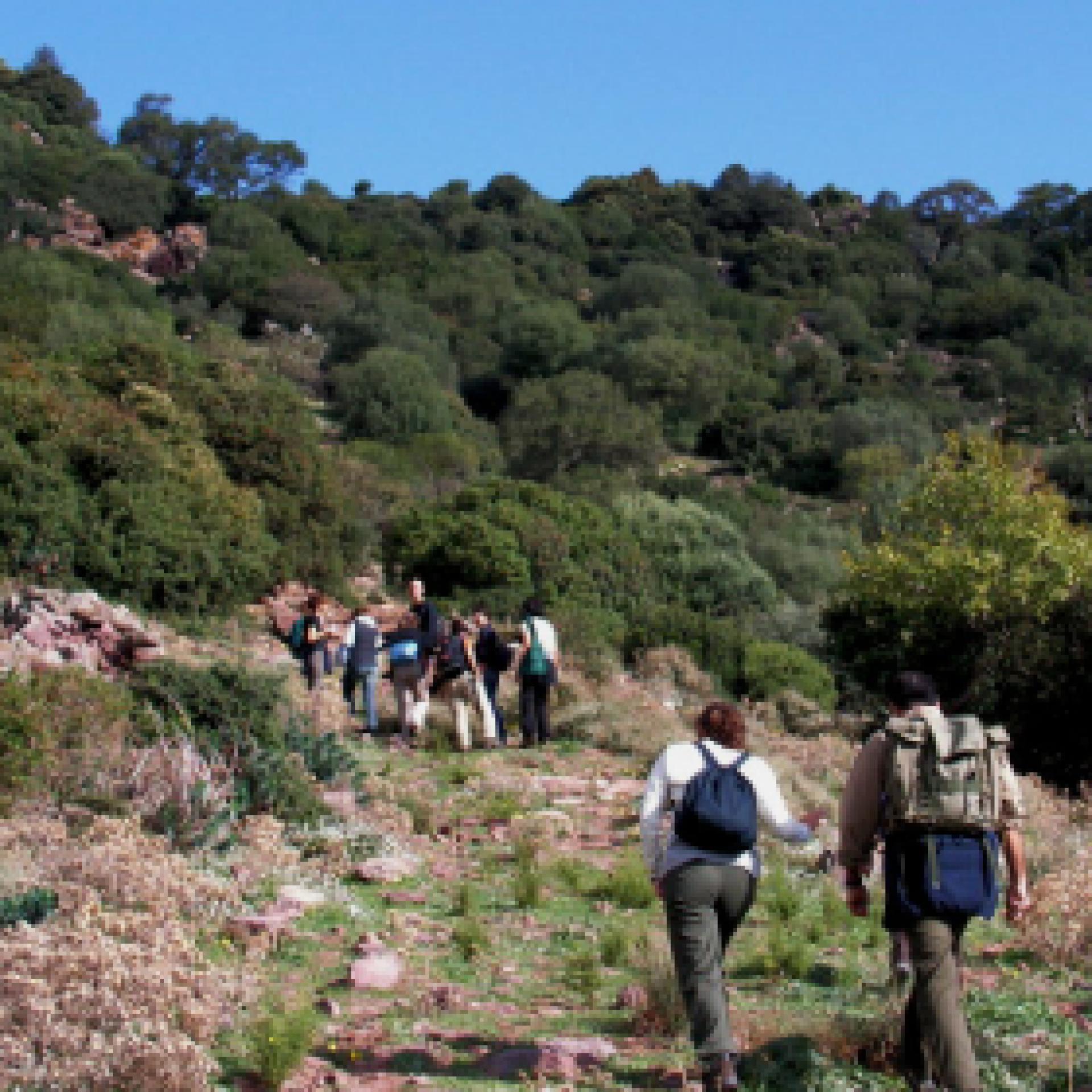
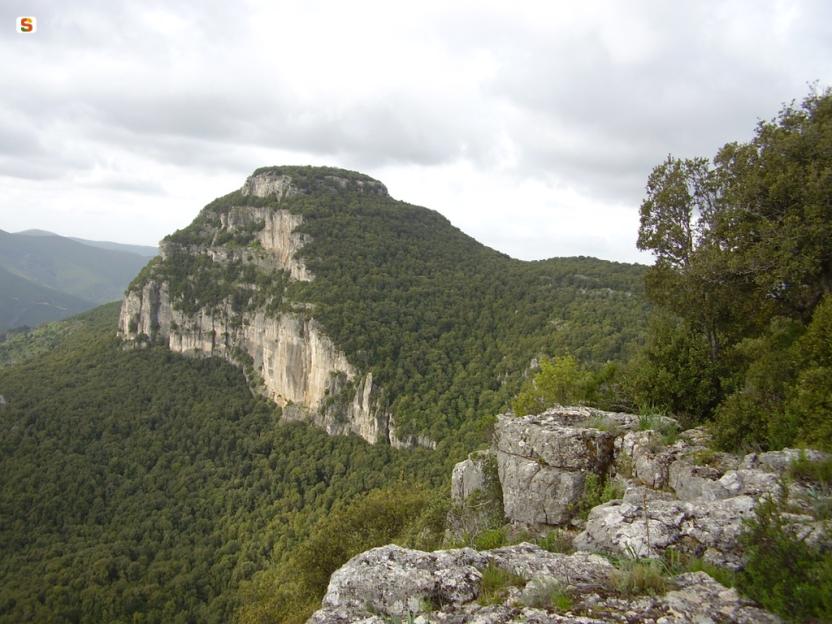
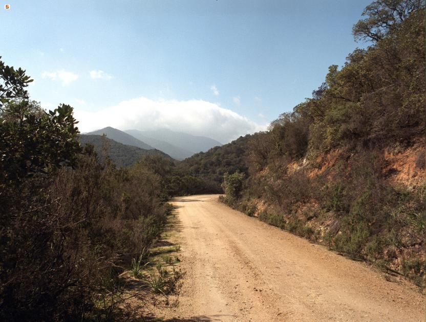
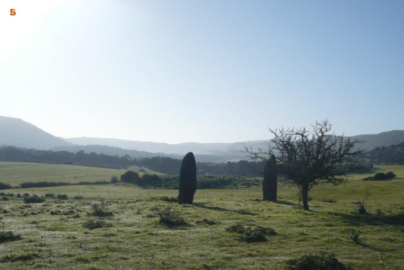
Trekking
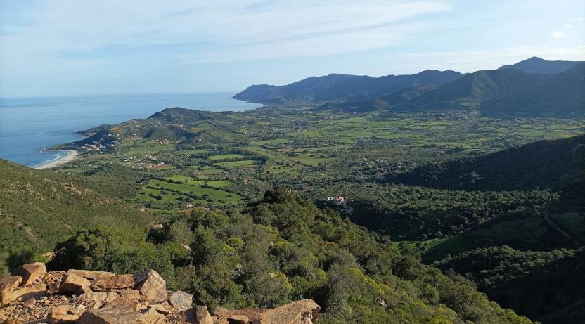
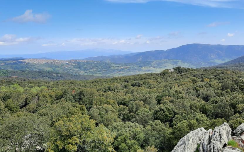
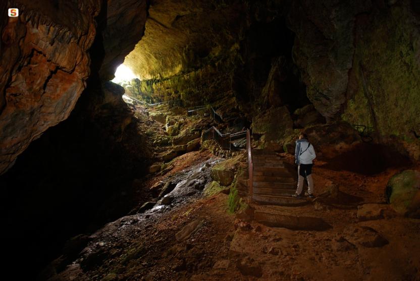
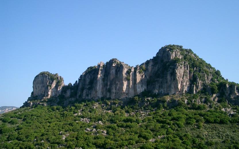
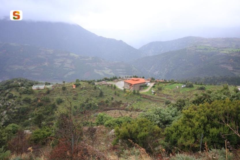
Trekking is universally defined as walking along paths and routes immersed in Nature. It is not just walking for the sake of it, nor merely reaching a distant goal: the trekker first and foremost discovers the territory by staying in direct contact with the most human dimension of the journey. The beauty of trekking is then to breathe the silence, to test oneself, but above all to rediscover oneself and the pleasure of adventure...

Results
Pathways Da Leustra a Santa Maria (T-782)
Sentiero Italia (Stage Z21A) Taquisara - Ulassai
Overview of the itinerary
Sentiero Italia runs the length of the island’s eastern side, covering its most important mountains, in 28 stages. Starting from the north: it flanks the Monte Limbara massif, crosses the limestones of Mont’Albo and Tuttavista, skirting the Gulf of Orosei, it crosses the Supramonte, Gennargentu and the Tacchi of Ogliastra and reaches Perdasdefogu. Further south, it passes through Armungia and the Gerrei sub-region. Lastly, it touches on the villages of Burcei and San Gregorio, continuing on the Sette Fratelli massif to the old prisons of Castiadas.
General information on Sentiero Italia (Grand Italian Trail)
Sentiero Italia, or Grand Italian Trail, as also explained on the official website, is a walking route that crosses the whole of Italy, using mainly but not exclusively “registered trails”.
In particular, in Sardinia, not all the stages of the Sentiero Italia of CAI (Italian Alpine Club) are made of trails already included in the registry of the Sardinia Trail Network (RES), either because they have not yet been tested and approved or simply because they cannot be registered as they do not meet the requirements. However, as a whole, the Sentiero Italia is the single longest walking route currently crossing Sardinia from the north (S. Teresa Gallura, stage Z 1) to the south (Castiadas, end of stage Z 28), touching on the most fascinating mountain areas in central-eastern Sardinia: the plateau of Buddusò, Tepilora, the Cedrino river valley, the ancient forests of Montes, Perda Liana and the regional forest of Montarbu, Monte Genis, and lastly the regional forest of Settefratelli (among the many crossed by the various stages of this long hiking itinerary).
Information on this stage of the trail
The original stage was quite long, around 28 km, so it has been split into two parts.
Route 21A is the longest section, about 17 km, ending in the small town of Ulassai, home to artist Maria Lai and a climbing mecca with many bolted routes of varying levels of difficulty.
The start point is close to the town park, where there is also a fountain. The route starts uphill, along a clearly marked path. The first destination is nuraghe Serbissi, at an elevation of 947 m asl. Having left the nuraghe, which is managed by a local cooperative, the path turns downhill and then after a series of easy ascents and descents, reaches the Urceni nuraghe (934 m asl). Here you will find a fork; take the southern path and after a brief stop at the Urceni fountain, continue in the direction of the San Giorgio hotel (only open in summer). After a few hundred metres, you can stop for a picnic at the abundant Sa Brecca spring.
On the way to the car park of the Cave of Su Marmuri, you will encounter the Sanu nuraghe, which does not offer much opportunity at the moment for viewing or exploration because it has not yet undergone archaeological excavations. From the cave’s car park, walk along a short stretch of blacktop road, which you will then leave to take the path that, running alongside the sports field, offers beautiful views of the town. This final section is known as the Maria Lai trail.
This is a very scenic stage suitable for fairly fit hikers. The final section, from the sports field onwards, is recommended for experienced hikers as there are two exposed stretches, albeit equipped with a steel cable.
- Log in to post comments
Photogallery
Sentiero Italia (Tappa Z21A) Taquisara - Ulassai
In sintesi
Il Sentiero Italia attraversa in lunghezza il settore orientale dell’isola toccandone i sistemi montuosi più rilevanti, in 28 tappe. Partendo da nord: tocca il massiccio del Monte Limbara, attraversa i calcari del Mont'Albo e del Tuttavista sfiorando il Golfo di Orosei, attraversa il Supramonte, il Gennargentu, i Tacchi dell’Ogliastra e giunge a Perdasdefogu. Più a sud, transita da Armungia e dalla subregione del Gerrei. Infine tocca l’abitato di Burcei e San Gregorio, per continuare nel massiccio dei Sette Fratelli fino alle vecchie carceri di Castiadas.
Informazioni generali sull'itinerario sentiero Italia
Il Sentiero Italia, come spiegato anche nel sito ufficiale, è un itinerario (o Cammino) lungo tutta l'Italia, che utilizza prevalentemente ma non esclusivamente "sentieri accatastati".
In particolare, in Sardegna, non tutte le tappe del Sentiero Italia del CAI coincidono con sentieri già inseriti nel catasto della Rete Escursionistica della Sardegna (RES), perché non hanno ancora superato le verifiche di percorribilità oppure semplicemente perché non possono essere accatastati non avendone i requisiti. Tuttavia, nel suo insieme, il Sentiero Italia rappresenta l'unica, la più grande dorsale escursionistica che attraversa attualmente la nostra Isola da nord (S. Teresa Gallura, tappa Z 1) a sud (Castiadas, fine tappa Z 28) toccando le aree montane della Sardegna centro-Orientale più affascinanti: l'altopiano di Buddusò, Tepilora, la valle del Cedrino, i boschi vetusti di Montes, Perda Liana e la foresta demaniale di Montarbu, il Monte Genis, e infine la foresta demaniale di Settefratelli (tra le tante attraversate dal lungo itinerario escursionistico a tappe).
Info sul percorso di questa tappa
La tappa originaria essendo abbastanza lunga, circa 28 km, si è preferito suddividerla in due parti.
La 21A rappresenta il tratto più lungo, circa 17 km e ben si presta per accogliere l’escursionista a fine tappa nel centro abitato di Ulassai, il paese dell’artista Maria Lai e località con numerose vie su parete con vari gradi di difficoltà.
La partenza è nei pressi del parco comunale dove è presente anche una fontana. Si inizia in salita, lungo un sentiero ben evidente, con la prima meta da raggiungere, il nuraghe Serbissi a quota 947 slm. Lasciato il nuraghe, gestito da una cooperativa locale, si percorre prima in discesa e successivamente in un saliscendi poco impegnativo, un agevole tratturo che ci porta al nuraghe Urceni (934 slm). Nel bivio presente in sito si prende la direzione sud e dopo una breve sosta nella omonima fontana Urceni si prosegue in direzione dell’albergo San Giorgio (aperto solo nel periodo estivo). Dopo poche centinaia di metri si potrà fare una sosta nell’area picnic presso la copiosa fonte di Sa Brecca.
Lungo il percorso che ci porta al parcheggio della grotta Su Marmuri incontriamo il nuraghe Sanu che al momento non offre grandi opportunità perché non è stato ancora interessato da scavi archeologici. Dal parcheggio della grotta percorriamo un breve tratto di strada bitumata che lasciamo per prendere il sentiero che, costeggiando il capo sportivo, ci porta a scoprire un panorama molto bello, dominante il centro abitato. Questo tratto finale è conosciuto come il sentiero di Maria Lai.
Tappa molto panoramica ed alla portata di escursionisti sufficientemente allenati con l’avvertenza che il tratto finale, dal campo sportivo in poi, è consigliato ad escursionisti esperti in quanto ci sono due tratti esposti, anche se presente un cavo di acciaio.
Lungo il percorso non sarà sempre presente la copertura telefonica
- Log in to post comments
Photogallery
CMSB – STAGE 19 - FROM NUXIS TO SANTADI
A short stage, which is mainly covered along asphalted secondary roads and unpaved driveways. You will see the large barite quarry of Rio Bacchera and the onyx quarry of Tattinu (Roman quarry).
However, the main attractions of this route are the archaeological traces: from the Sacred Well of Tattinu, to the Byzantine Church of Sant'Elia, up to the rich Museum of Santadi.
WARNING: The sacred well of Tattinu is currently closed due to work in progress, the church of Sant'Elia is only visible from the outside.
Safety and useful tips
The route proceeds along comfortable and easy roads.
The first part of the route to leave Nuxis develops along asphalted urban and peri-urban roads, therefore you must pay attention to vehicular traffic.
Once you reach the village of Is Cosas, you have to follow the asphalted road along Via Camposanto in order to reach Santadi. Although this road is not very busy, you must pay attention to vehicular traffic that intensifies as you get closer to the town of Santadi.
The stage is considered among the easy ones. The route has a length of 15.3 km, which can be covered in 4 hours and an uphill difference in height of 390 m and a downhill difference of 457 m.
FOR UPDATED INFORMATION, CONSULT THE STAGE SHEET ON THE OFFICIAL WEBSITE
- Log in to post comments
Links
Photogallery
CMSB – TAPPA 19: DA NUXIS A SANTADI
Si tratta di una tappa breve, che si percorre in prevalenza su strade secondarie asfaltate e su strade bianche carrabili. Lungo il percorso si incontra la grande cava di barite di Rio Bacchera e la cava di onice di Tattinu (cava Romana).
Ma le caratteristiche principali di questo percorso sono le testimonianze archeologiche, dal Pozzo Sacro di Tattinu, alla chiesa bizantina di Sant’Elia, fino al ricco Museo di Santadi.
La tappa è considerata tra quelle facili. Il percorso ha una lunghezza di 15,3 km, percorribili in 4 ore e un dislivello in salita di 390 m e in discesa di 457 m.
PER LE INFORMAZIONI AGGIORNATE, CONSULTA LA SCHEDA DELLA TAPPA, SUL SITO UFFICIALE
Il Cammino Minerario di Santa Barbara
Si tratta del primo, tra i cammini sardi, ad essere stato iscritto al registro istituito dalla Regione Sarda nel 2012 con DGR48/9 ("Registro dei cammini di Sardegna, degli itinerari religiosi e dello spirito"). Attualmente è gestito dall'omonima Fondazione.
LA STORIA DEL PROGETTO
L’idea di costruire un itinerario nell’area più estesa e rappresentativa del Parco Geominerario Storico Ambientale della Sardegna, il Sulcis-Iglesiente-Guspinese, riscoprendo gli antichi cammini minerari oggi in gran parte abbandonati, è nata dai volontari dell’Associazione ONLUS Pozzo Sella Per il Parco Geominerario a seguito della grande partecipazione dei cittadini alle escursioni organizzate dalla stessa associazione dopo aver reso fruibili numerosi percorsi minerari.
Con il Cammino Minerario di Santa Barbara si vuole perseguire l’obiettivo di tramandare la memoria degli uomini che nei secoli e nei millenni passati hanno realizzato e percorso gli antichi cammini minerari con il piacere di riscoprire a passo lento la bellezza del territorio.
Un Protocollo d’intesa è stato sottoscritto tra i Comuni di Iglesias, Buggerru, Fluminimaggiore, Arbus, Guspini, Gonnosfanadiga, Villacidro, Domusnovas, Musei, Villamassargia. Narcao, Nuxis, Santadi, Piscinas, Giba, Masainas, San Giovanni Suergiu, Sant’Antioco, Carbonia e Gonnesa, le Diocesi di Iglesias e di Ales Terralba, le Province di Carbonia Iglesias e del Medio Campidano, il Consorzio del Parco Geominerario Storico Ambientale della Sardegna, l’ANCI SARDEGNA e l’Associazione Pozzo Sella: si tratta di un partenariato per la costruzione e la gestione dell’itinerario storico, culturale, ambientale e religioso denominato “Cammino Minerario di Santa Barbara”.
PER MAGGIORI INFORMAZIONI, DETTAGLI E INFO AGGIORNATE SULLE TAPPE
Si consiglia di consultare il sito ufficiale del cammino: www.camminominerariodisantabarbara.org/
- Log in to post comments
Links
Photogallery
Roadbook
Lasciata Nuxis, dopo circa 3,5 km si svolta a sinistra nella valle percorsa dal rio Tattinu, ai piedi del monte Tamara, area abitata fin dalla preistoria, da sempre sfruttata per le risorse minerarie e già luogo di culto in età nuragica, come testimonia la scoperta del pozzo sacro di Tattinu, con annesso villaggio nuragico (XI secolo a.C.).
Ritornati sulla strada principale, dopo circa 500m si svolta nuovamente a sinistra e dopo circa 100 m si arriva alla chiesa di Sant’Elia. L'edificio risale all'epoca bizantina e fu edificata attorno all’anno mille. Si tratta di uno degli edifici sacri paleocristiani di maggior interesse della Sardegna le cui caratteristiche sono le dimensioni molto ridotte (dieci metri di lunghezza per nove di larghezza), tipiche delle chiese sorte in Sardegna nella seconda metà del I millennio d.C., in epoca paleocristiana.
Pathways Su Marmuri trail (C-505)
CMSB – STAGE 08 - FROM ARBUS TO PERD'E PIBERA
The first part of the stage reaches the Campidano plain, where you can see the typical landscape of agricultural and livestock activities characterised by olive groves, almond groves and vast expanses of pasture land. You then enter the Linas mountain range, with its large forests and rich variety of mineral deposits.
Safety and useful tips
The initial section runs along an urban route in Arbus, therefore watch out for vehicular traffic.
Immediately after the archaeological site of the Giants’ Grave of San Cosimo, the route proceeds to a ford on the Rio Terra Maistus. If weather conditions are bad and/or if the river course is in flood and fording is difficult, it is recommended to follow the alternative route (in red) that leads to the SP04 road.
The passage allows to bypass the ford and resume the route shortly afterwards. While crossing the SP04, make sure to pay attention to vehicular traffic.
Halfway along the route you have to pass through Gonnosfanadiga, where you also must pay attention to urban vehicular traffic.
WE RECOMMEND STAYING TO SLEEP IN GONNOSFANADIGA
This stage also includes a variation to the main route.
The stage presents a medium difficulty. The route has a length of 15.4 km, which can be covered in 5 hours and an uphill difference in height of 498 m and a downhill difference of 375 m.
FOR UPDATED INFORMATION, CONSULT THE STAGE SHEET ON THE OFFICIAL WEBSITE
- Log in to post comments