The route was created as part of a collaboration between the GAL Ogliastra and the FoReSTAS Agency, with the aim of offering hikers an immersive experience in the natural and scenic beauty of the Ogliastra area. The itinerary features points of interest along every section. You can choose your starting stage and build your own customized route, traveling from north to south or from south to north. The direction of travel may change, but the quality of the landscape remains unchanged.
The path
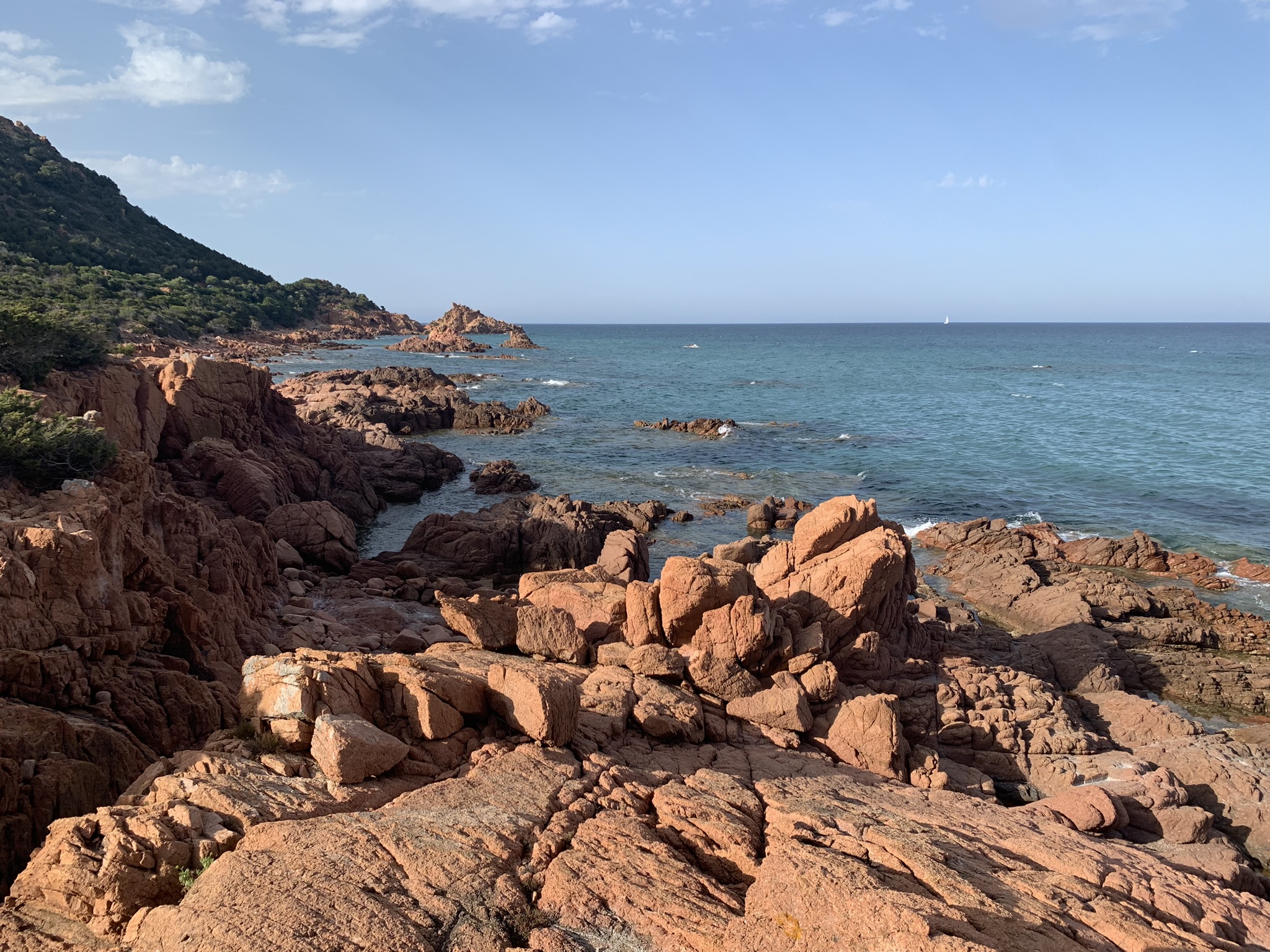
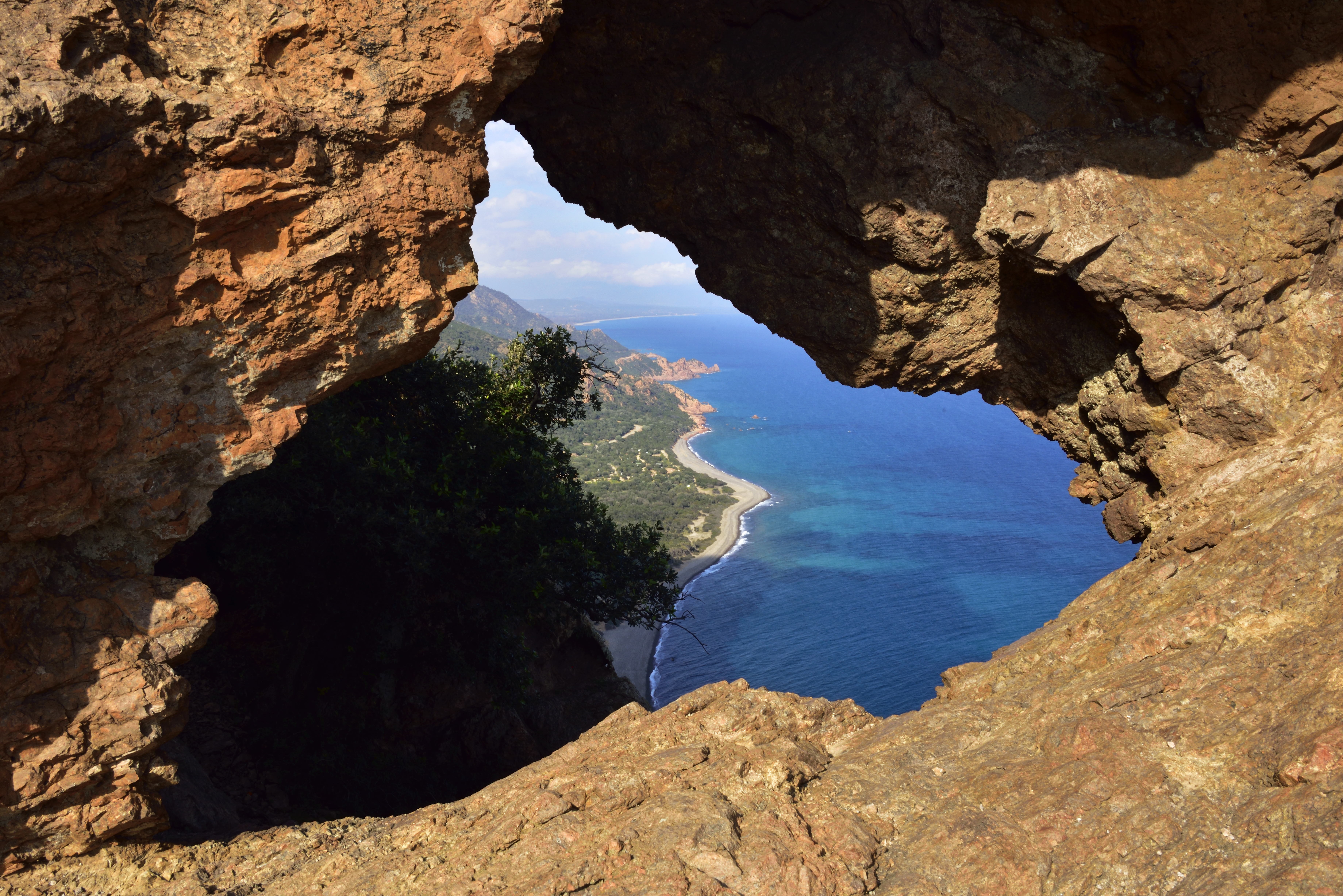
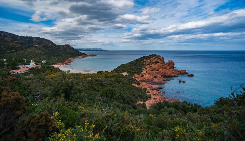
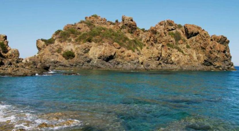
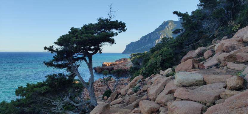
The initial stretch of the route from Perd’e Pera (Gairo) to Tertenia stands out for its suggestive coastal path, which laps the sea between black pebbles, hidden coves and rock formations shaped by time. Along the route you will encounter wild environments and spectacular views such as that of Sa Perda Stampada.
The coastal landscape is also characterized by the famous red rocks of Ogliastra: porphyry formations sculpted by the wind, which rise in pinnacles and cliffs overlooking the sea, creating a chromatic contrast of rare intensity with the waters below, which fade from emerald green to deep blue.
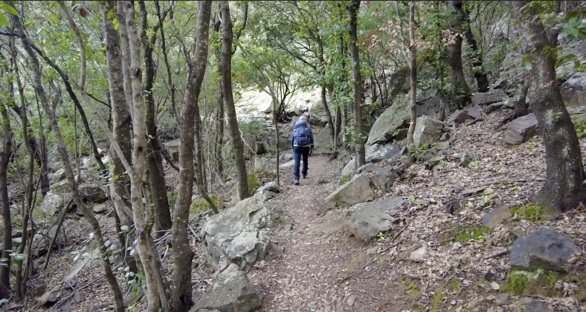
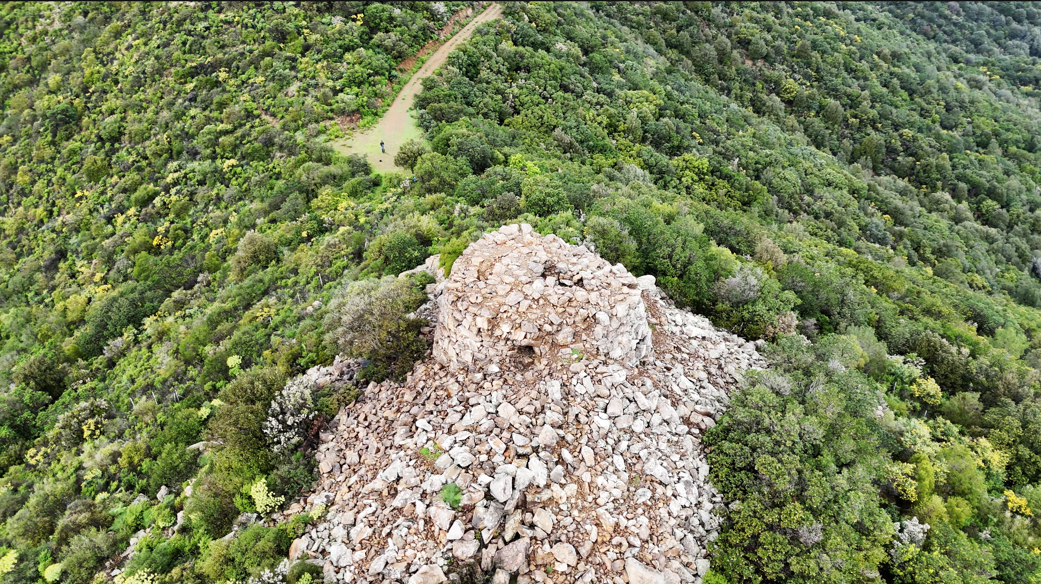
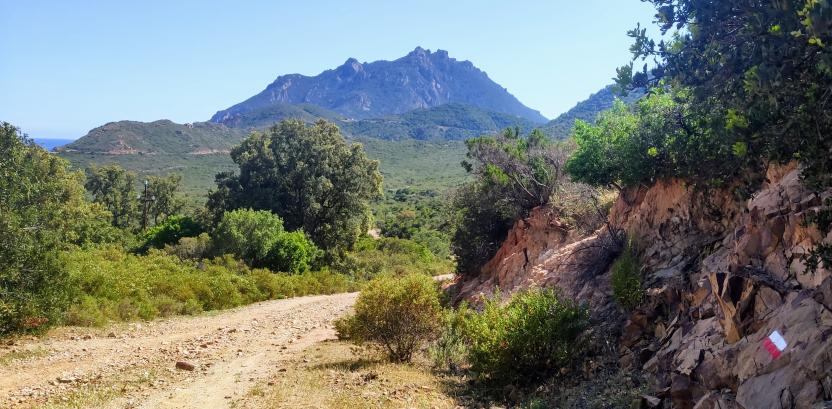
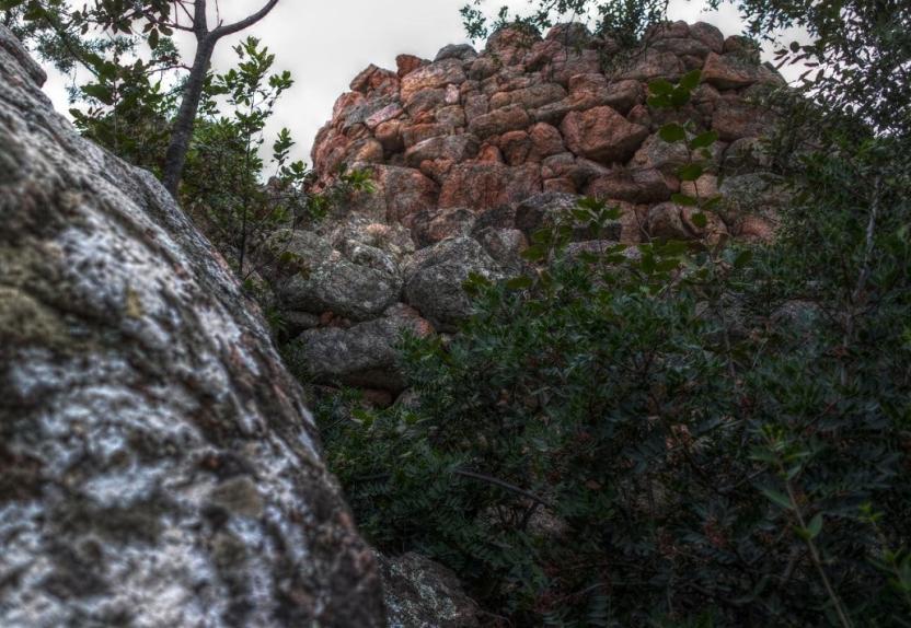
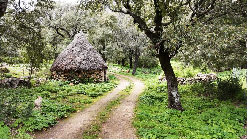
The next stage, from Tertenia to Cea Arci (Ulassai), heads inland, crossing olive groves and agricultural areas and then immersing itself in thick holm oak forests. The route winds along the slopes of the Rio Corongiu, crossing the abandoned mining area of Talentinu and reaching Cea Arci, where a sheepfold guards the remains of an ancient nuraghe. The limestone and dolomitic formations here shape a harsh and fascinating landscape, marked by a long interaction between human activities and nature, today returned to a silent balance.
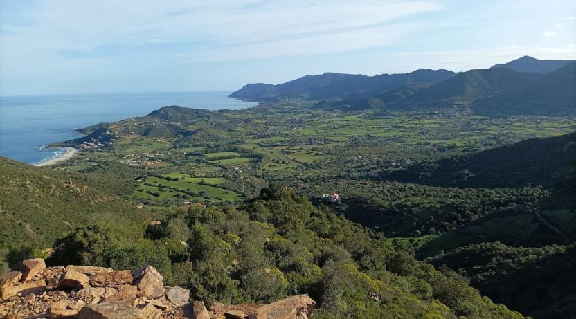
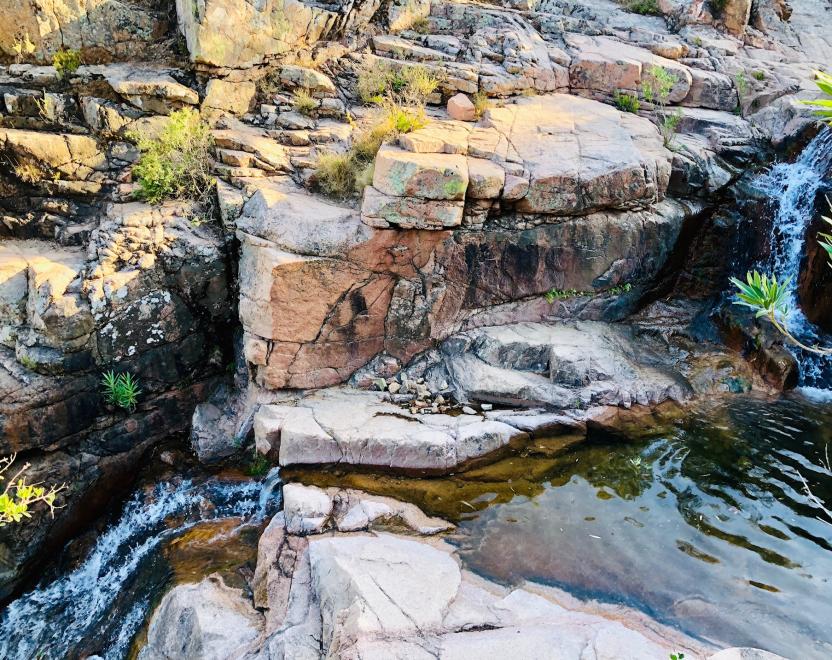
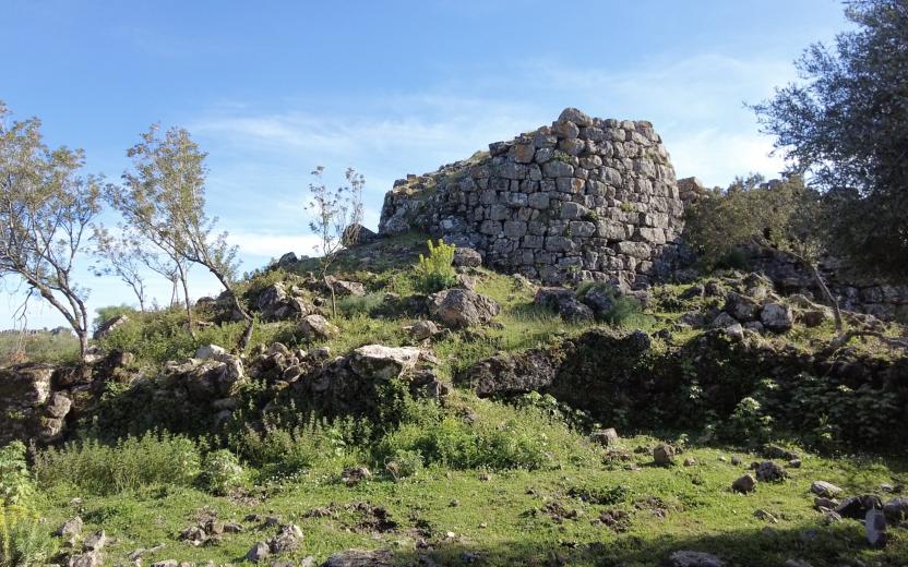
The following stage, from Perdasdefogu to Nuraghe S’Ulimu (Ulassai), opens up between cork oak and holm oak woods, entering a karst environment rich in joints and natural cavities, such as the deep Sa Brecca. The path alternates between shady stretches and panoramic areas, with views of the cultivated valley and the Tacchi di Ulassai, before descending to the ford of a river and climbing back up towards the archaeological sites of Nuraghe Trutturis and S’Ulimu, witnesses of a long settlement continuity. In this stretch of inland Sardinia, the journey becomes a profound exploration of landscape and history, in a continuous balance between the shaping force of nature and the stratified memory of man.
The itinerary concludes with a final stage that, starting from the Nuraghe S’Ulimu, winds through Mediterranean scrub, wetlands, and scenic panoramic viewpoints, eventually reaching the Sant’Antonio area, near a welcoming destination for hikers.
From Perd'e Pera to Tertenia
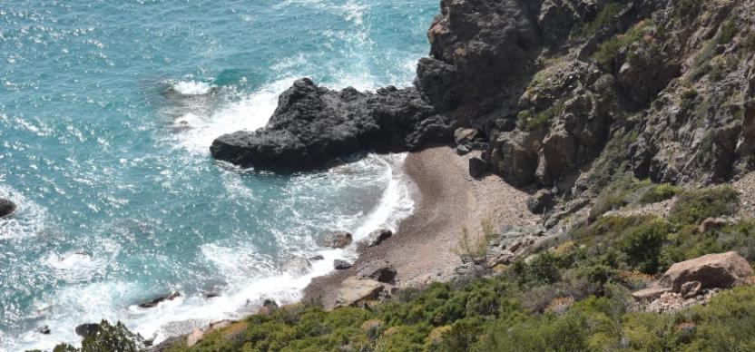
The most distinctive feature of this stage is the scenic coastal trail, which allows you to walk close to the sea, offers the opportunity for a pleasant swim break at the coves of Su Sirboni and Cala Luas, and provides sea views from several remarkable viewpoints. One of the highlights is the panoramic point known as Perda Stampada.
The stage begins with a fascinating black pebble beach, and the surrounding environment retains a wild, natural character while still ensuring a safe and accessible path. Along the section between Sarrala and Tertenia, there are additional viewpoints, including the Cartuceddu lookout and the Nuraghe Genna Tidu.
The final part of the stage offers two alternatives: a fork in the path allows you to either head north toward the area of Bingionniga, following a dirt road that leads to a rest area set within the forest complex managed by FoReSTAS, or to complete the main route along a paved road that leads directly to the town of Tertenia.
Tourism services
• Near Coccorrocci beach parking area (unattended)
• Information signs of the Sardinia Hiking Network along the entire trail
• Tesonis rest area in the Sarrala area (Marina di Tertenia), along the trail, with tables and a fire-safe area.
• In the Sarrala area, following a secondary path, you can find restaurants and coffee bars, whose activities are mainly linked to the bathing season.