Arcu Orguda - Bruncu Arenas (B 542 A)
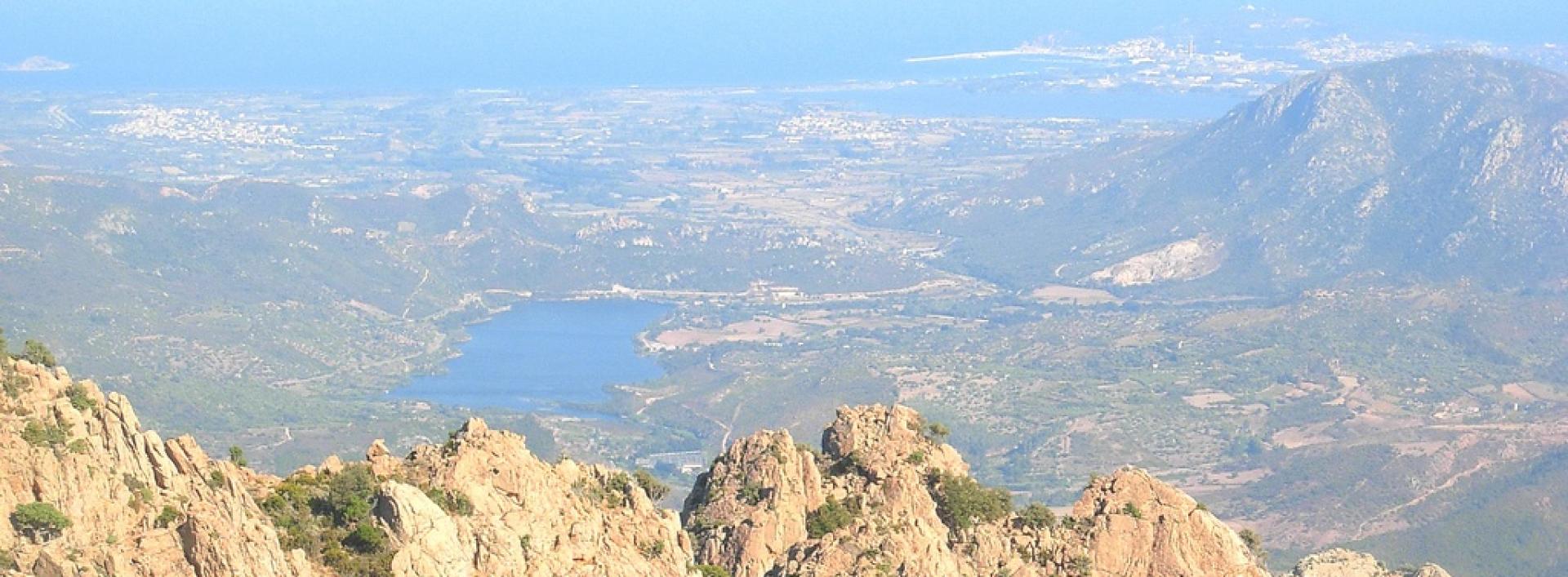
Image credits Sardegna Digital Library
The pathway
Trail data and altimetry

Photogallery
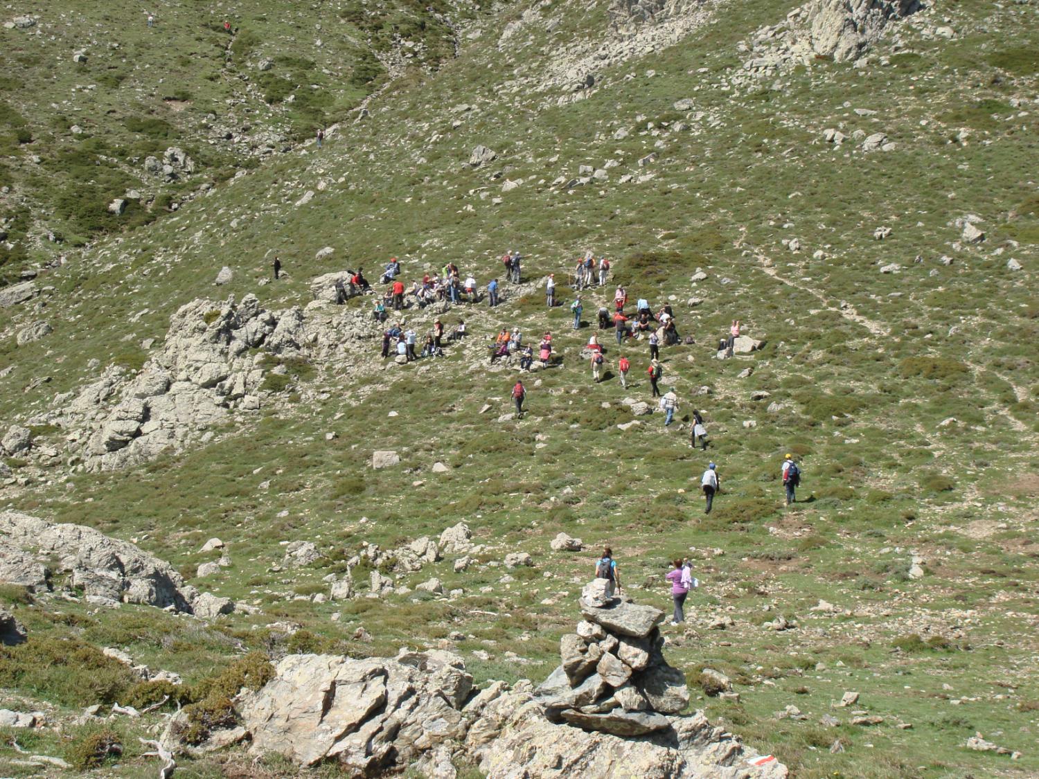
Sosta sul raggio di Villagrande Strisaili, lungo il sentiero CAI 761, prima di Genna Orisa
Emilia Sechisentierifrassati.org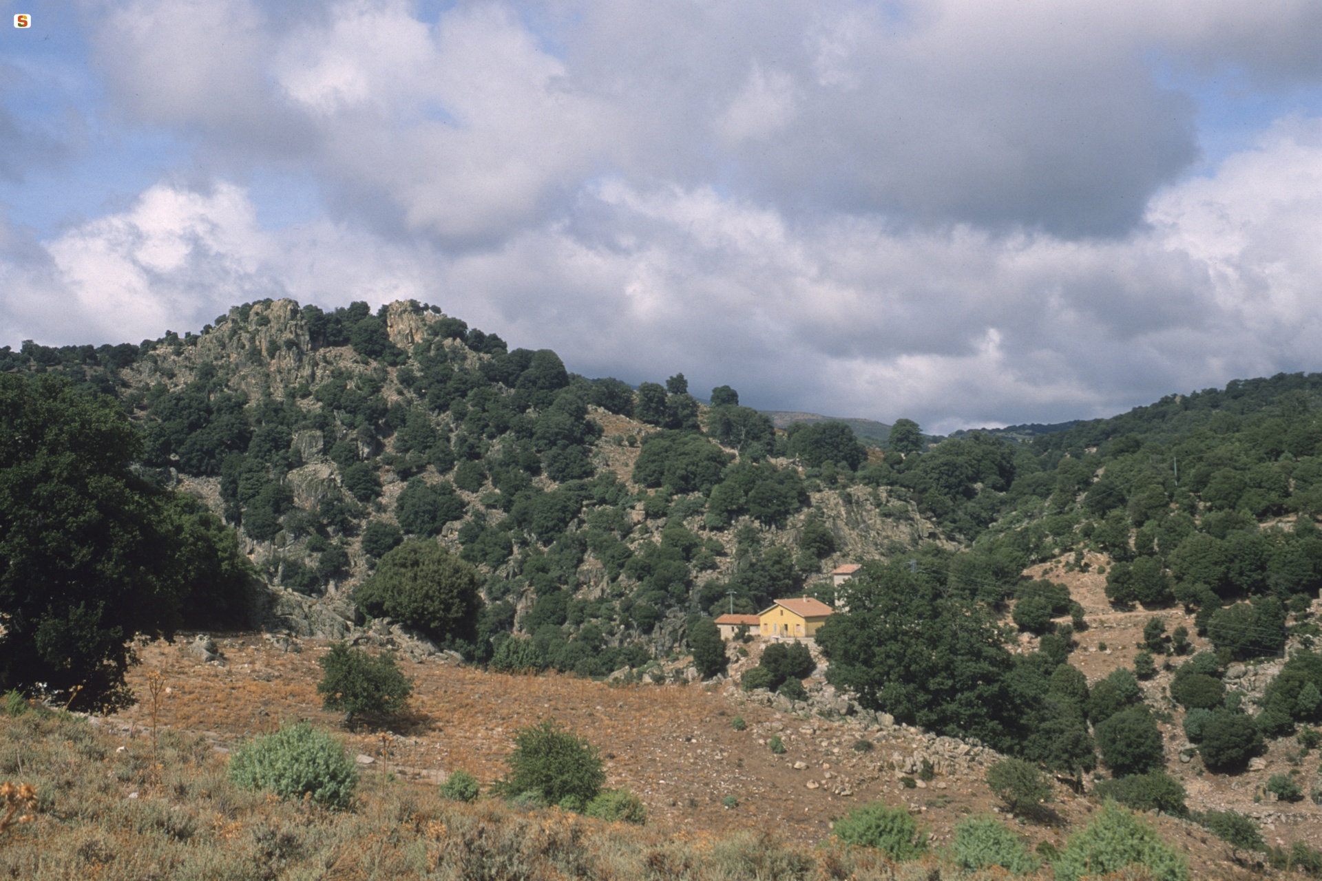
Villagrande Strisaili, paesaggio
Manunza BrunoSardegna Digital Library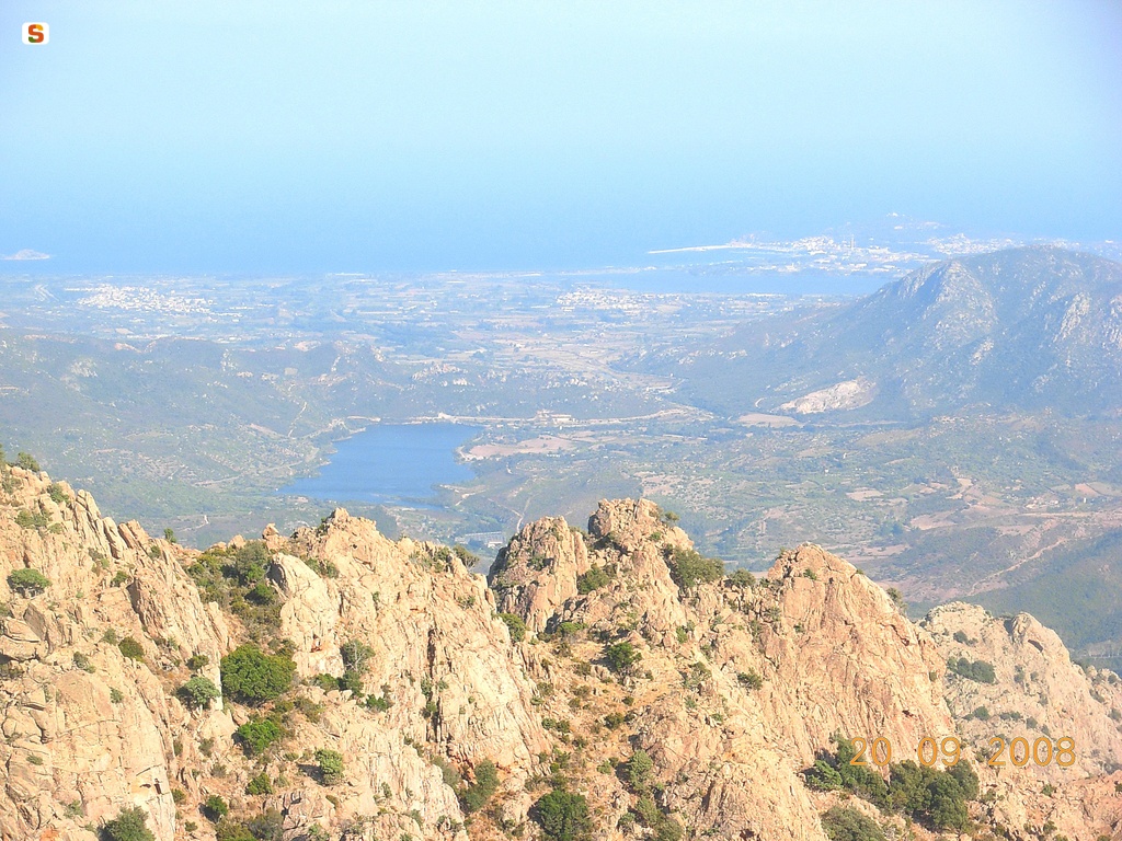
Veduta verso Arbatax dai monti intorno a Villagrande Strisaili
Loi OrnellaSardegna Digital Library
Perdaliana vista da Villagrande (Su Fenu)
Cristian MasciaCC: SA-A-NC Agenzia regionale ForestasDownload trail documentation
Related pathways
Skip Pathways slider and jump to the next section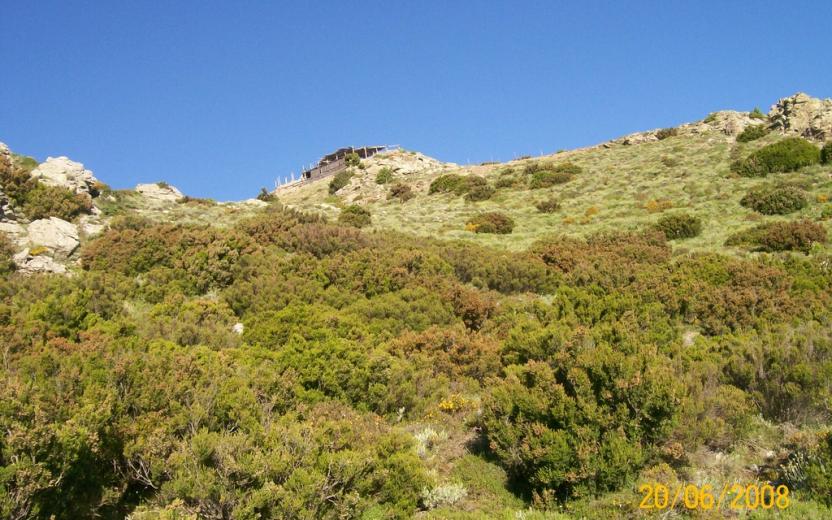
Opinions
No reviews yet for this path
