Monsa ' Giuanni - Peak La Marmora (T 741 B)
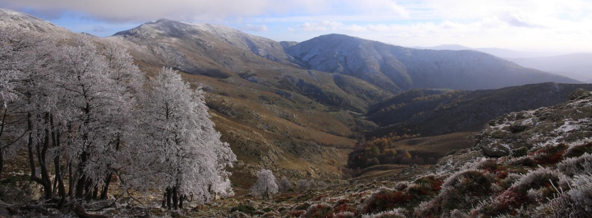
Image credits Sardegna Digital Library
The pathway
Useful informations
Roadbook
The trail is reachable by car, preferably with an off-road vehicle or a vehicle suitable for unpaved roads, up to the location of Monsa 'e Giuanni.
From here, continue on foot for about 350 meters along the T741 trail, also known as the Sentiero Italia.
After reaching the junction, leave the T741 by turning right and continue downhill on an easy descent until you ford a river. During the winter, the best point to cross should be identified based on the water level.
After crossing the ford, the path climbs with several curves that make the slope gentler, passing near the remains of the now-destroyed "Coili su Fonnesu," until it reaches Genna 'e Lua.
From Genna 'e Lua, you continue to the left, crossing outcrops of red porphyry and granite, with splendid views towards the eastern area of Ogliastra. From here, you can admire Lake Alto Flumendosa and the characteristic limestone tacco (heel) of Perda Liana, which make the ascent pleasant and never too demanding.
Approaching the upstream junction with the T741, you can take a short detour toward the summit of Punta Florisa. From there, you can continue on to the highest peak in Sardinia, Predas Cràpias, more commonly known as Punta La Marmora.
Trail data and altimetry

Photogallery
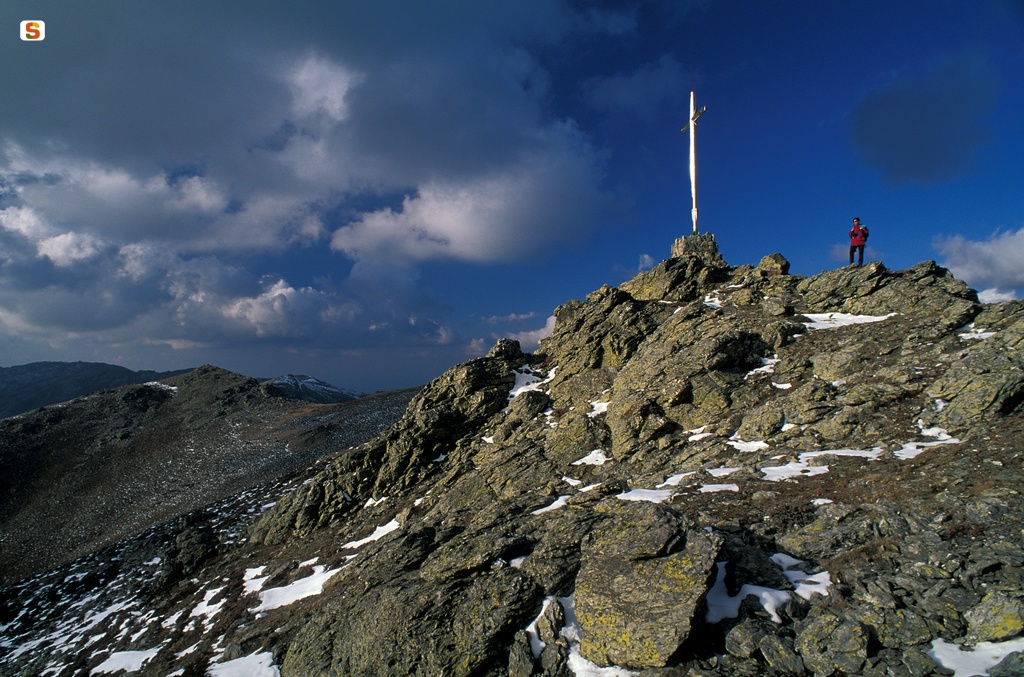
La Croce sul picco più alto della Sardegna: Punta La Marmora - 1834 mt. - Gruppo montuoso del Gennargentu
Mattia VaccaSardegna Digital Library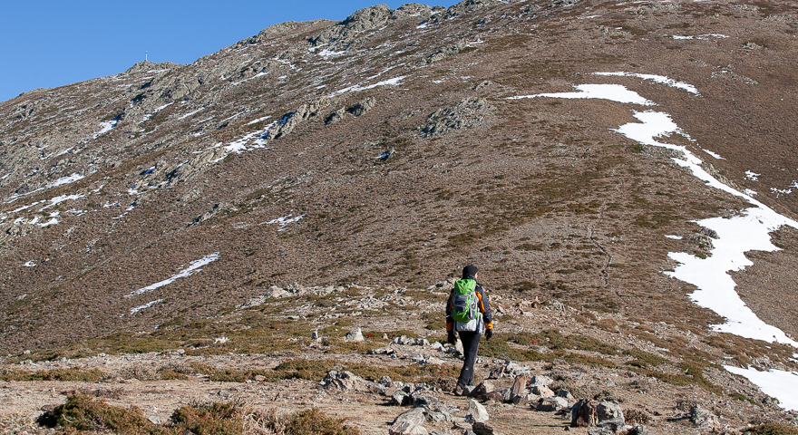
741 - Arcu Sa Turzi, sullo sfondo Punta La Marmora.jpg
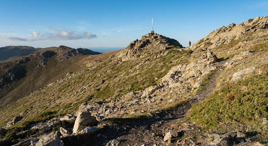
741 start, 702 end - Punta La MArmora, la croce sommitale.jpg
Download trail documentation
Opinions
No reviews yet for this path
